
Route Identity
Mount Washington Auto Road Summit Scenic Drive
USA — New Hampshire
Overview Layer
Overview
Challenge yourself on the Mount Washington Auto Road, a historic mountain route leading to one of the most famous summits in the northeastern United States.
Weather
Extreme alpine subarctic climate with very high winds, rapid weather shifts, and severe winter conditions.
Seasonal Driving Conditions
Unstable weather with snow remnants and frequent closures at summit.
- snow clearing operations
- variable summit access
Best access period with stable conditions but still highly variable weather.
- best access window
- stable but changeable conditions
Rapid cooling with high wind exposure and early snow risk.
- high wind exposure
- early freezing conditions
Closed or extremely restricted due to severe ice, wind, and snow conditions.
- road closure
- extreme ice and snow
Road conditions
Steep private mountain road with sharp grades, exposed ridgeline, and frequent weather-related restrictions.
Driving difficulty explained
Very high difficulty due to extreme weather exposure and steep elevation gain.
Route Snapshot Layer
Route Snapshot
This is a scenic driving route in New Hampshire, USA.
The route features moderate driving conditions.
It is classified as Extreme and is best suited for general road trip travelers.
Points of Interest
Attractions along the route
- ZipRider Wildcat Mountain — 1.7 km from route (1.7 km from start)
- Mount Washington Observatory — 102 m from route (12.1 km from start)
Scenic viewpoints
- Lila's Ledge — 1.5 km from route (2.7 km from start)
Interesting stops
- Avalanche Information — 1.6 km from route (11.9 km from start)
Interesting stops
- Nineteen Mile Brook TH — 1.5 km from route (0.1 km from start)
Actual Driving Track (GPX-data)
Download GPXGPS Data Layer
Measured Driving Route
This route is analyzed directly from GPX track data. It features a total distance of 12.1 km, with an elevation gain of 1438 m.
Route Structure
| Type | Distance (km) | Elevation Gain (m) | Avg Gradient (%) |
|---|---|---|---|
| climb | 12.08 km | 1438 m | 11.9% |
About this route
The Mount Washington Auto Road Summit Scenic Drive is one of the most scenic driving experiences in USA. Located in New Hampshire, this route offers a unique combination of landscapes, road conditions and natural highlights.
Stretching over 12.1 km, this drive takes approximately 1 hours.
This route is especially popular among travelers looking for road trips.
Travel Experience
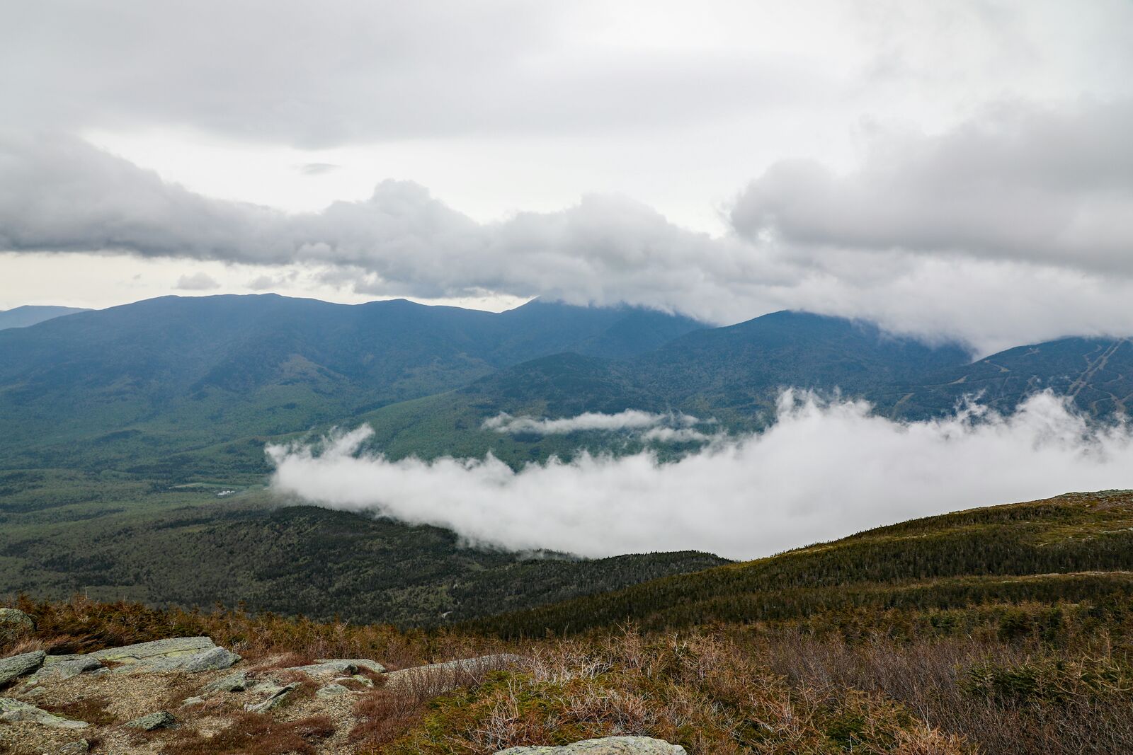
The climb starts almost immediately and wastes very little time getting to the point. Within a few minutes it was obvious this wasn't going to be a relaxed scenic cruise. Everyone in the car was paying attention to the road and the views at the same time.
As we gained elevation the landscape became increasingly open. Looking back down the mountain, roads, parking areas and buildings quickly started to look much smaller than they had just a short time earlier.
The weather near the summit felt completely disconnected from conditions at the base. We started the drive in comfortable temperatures and ended up reaching for extra layers before getting out of the car.
There were moments when clouds moved through so quickly that the view changed from minute to minute. One overlook offered clear visibility for miles, while another was partially hidden behind drifting fog.
The road itself is relatively short, but it felt much bigger than its actual length. By the time we reached the summit it seemed like we'd completed a much longer mountain drive simply because of how much the environment changed along the way.
Best time to visit
The best time to explore the Mount Washington Auto Road Summit Scenic Drive is typically during spring and summer months, when weather conditions are stable and visibility is high. However, autumn offers fewer crowds and more dramatic scenery.
Travel tips
- Check summit weather before ascent
- Prepare for sudden wind changes
- Use low gear on steep climbs and descents
Why visit
- Scenic landscapes unique to New Hampshire
- Popular road trip destination in USA
- Great for photography
- Varied terrain and driving conditions
Driving Interpretation Layer
What this route means
How long is this route?
The route is approximately 12.1 km long, with an elevation gain of 1438 m.
How difficult is the drive?
This route is classified as Extreme, with a maximum gradient of 13.1%.
What kind of terrain does it have?
This route features hilly terrain with several steep driving sections.
What makes this route unique?
The route combines elevation variation (1438 m total gain) with changing landscapes shaped by natural geography and road conditions.
What type of driver is this route best suited for?
This route is best suited for experienced drivers comfortable with steep gradients, narrow mountain roads, and changing weather conditions.
Discovery Layer
More routes in USA
About USA →
Blue Ridge Parkway Scenic Mountain Drive
Scenic mountain drive through the Appalachian Highlands.

Pacific Coast Highway Coastal Scenic Drive
Iconic coastal drive along California's Pacific coastline.
Utah National Parks Scenic Loop Drive
Arches, canyons and desert landscapes.
Dalton Highway Arctic Wilderness Drive
One of the most remote roads in North America.
Going-to-the-Sun Road Glacier Scenic Drive
High mountain road crossing Glacier National Park.
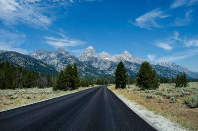
Beartooth Highway Alpine Scenic Drive
High alpine road with dramatic switchbacks.
More similar scenic routes
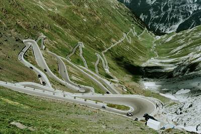
Stelvio Pass Alpine Scenic Drive
Iconic alpine road with 48 hairpin turns and dramatic mountain views
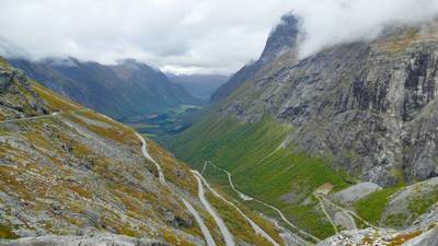
Trollstigen Mountain Pass Scenic Drive
Famous mountain road with steep hairpin bends and waterfalls
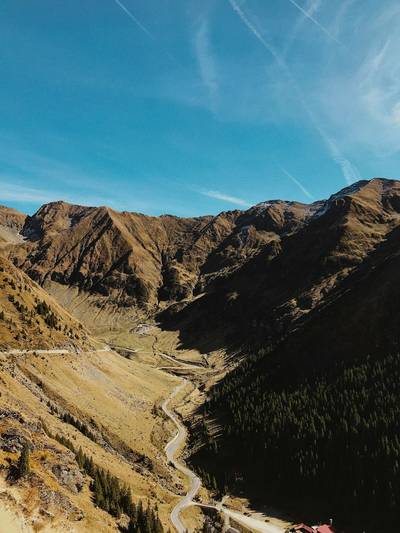
Transfăgărășan Alpine Scenic Highway Drive
One of the most dramatic mountain roads in the world
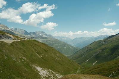
Furka Pass Scenic Alpine Drive
High alpine pass with glaciers and sharp curves
Blue Ridge Parkway Scenic Mountain Drive
Scenic mountain drive through the Appalachian Highlands.
Pacific Coast Highway Coastal Scenic Drive
Iconic coastal drive along California's Pacific coastline.