Route Identity
Dalton Highway Arctic Wilderness Drive
USA — Alaska
Overview Layer
Overview
Tackle the legendary Dalton Highway in Alaska. This extreme and remote road trip offers an unfiltered journey across one of North America's most desolate and beautiful landscapes, perfect for adventurous travelers.
Weather
Subarctic climate with long, harsh winters and a short cool summer. Temperature extremes are common and precipitation varies from snow to light summer rain.
Seasonal Driving Conditions
Late spring brings thawing conditions with remaining snow patches and unstable ground in higher latitudes.
- snowmelt runoff affects road stability
- mud and soft shoulder conditions persist
Short summer season with milder temperatures and mostly accessible gravel road sections.
- dry gravel surfaces dominate
- stable daylight conditions for travel
Early autumn features rapid cooling and increasing precipitation with early frost risk.
- early freeze-thaw cycles
- increasing surface roughness due to frost
Severe winter conditions with extreme cold, ice accumulation, and limited accessibility along remote sections.
- ice-covered segments
- limited maintenance and partial closures
Road conditions
Predominantly gravel surface with sections affected by frost heave and seasonal maintenance limitations. Winter travel is highly restricted.
Driving difficulty explained
High difficulty due to remoteness, weather volatility, and limited services.
Route Snapshot Layer
Route Snapshot
This is a scenic driving route in Alaska, USA.
The route features moderate driving conditions.
It is classified as Extreme and is best suited for general road trip travelers.
Points of Interest
Scenic viewpoints
- Sag River Overlook — 26 m from route (107.4 km from start)
- The Gate of the Arctic on Dalton Highway — 9 m from route (266.1 km from start)
- Chandalar Shelf — 22 m from route (283.8 km from start)
- Gobblers Knob — 33 m from route (455.7 km from start)
- Hess Creek Overlook — 37 m from route (634.7 km from start)
Attractions along the route
- Northernmost Spruce Tree — 20 m from route (286.8 km from start)
- Arctic Circle Wayside — 74 m from route (482.5 km from start)
- Howling Bay Kennels — 47 m from route (772.5 km from start)
Actual Driving Track (GPX-data)
Download GPXGPS Data Layer
Measured Driving Route
This route is analyzed directly from GPX track data. It features a total distance of 800.4 km, with an elevation gain of 32533 m.
Route Structure
| Type | Distance (km) | Elevation Gain (m) | Avg Gradient (%) |
|---|---|---|---|
| flat | 454.71 km | 15017 m | 0% |
| climb | 165.55 km | 11785 m | 4.4% |
| descent | 180.17 km | 5732 m | -3.9% |
About this route
The Dalton Highway Arctic Wilderness Drive is one of the most scenic driving experiences in USA. Located in Alaska, this route offers a unique combination of landscapes, road conditions and natural highlights.
Stretching over 800.4 km, this drive takes approximately 17 hours.
This route is especially popular among travelers looking for road trips.
Travel Experience
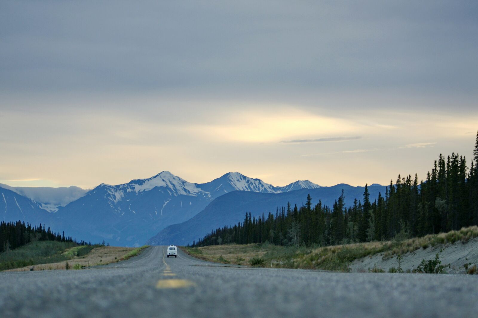
We left with a kind of “we’ll see how far we get” attitude because everyone kept saying the Dalton Highway isn’t like a normal road trip. The first stretch still felt manageable, just gravel and long straight sections.
At one point we stopped near a truck because it was the only other vehicle we’d seen in a while. Nobody really said anything, we just stepped out, stretched, and got back in again. It felt more like a checkpoint than a viewpoint.
There were hours where we didn’t pass anything at all except road markers and the occasional patch of construction. We kept the windows slightly open just to stay aware of what was happening outside the car.
We stopped for food in a place that basically existed because the road exists. It wasn’t uncomfortable, just very minimal—eat, refill, leave. We didn’t stay longer than necessary.
Later on, the Dalton Highway started to feel less like a route and more like a condition you were in. No real “best viewpoints along the road,” just long distance, weather changes, and the awareness that if something stopped working, you’d notice it a lot more than anywhere else.
Best time to visit
The best time to explore the Dalton Highway Arctic Wilderness Drive is typically during spring and summer months, when weather conditions are stable and visibility is high. However, autumn offers fewer crowds and more dramatic scenery.
Travel tips
- Monitor fuel availability across long distances
- Prepare for rapid weather shifts even in summer
- Expect limited cellular coverage along the route
Why visit
- Scenic landscapes unique to Alaska
- Popular road trip destination in USA
- Great for photography
- Varied terrain and driving conditions
Driving Interpretation Layer
What this route means
How long is this route?
The route is approximately 800.4 km long, with an elevation gain of 32533 m.
How difficult is the drive?
This route is classified as Extreme, with a maximum gradient of 9.7%.
What kind of terrain does it have?
This route features hilly terrain with several steep driving sections.
What makes this route unique?
The route combines elevation variation (32533 m total gain) with changing landscapes shaped by natural geography and road conditions.
What type of driver is this route best suited for?
This route is suitable for confident drivers who are comfortable with occasional steep sections and mountain terrain.
Discovery Layer
More routes in USA
About USA →
Blue Ridge Parkway Scenic Mountain Drive
Scenic mountain drive through the Appalachian Highlands.

Pacific Coast Highway Coastal Scenic Drive
Iconic coastal drive along California's Pacific coastline.
Utah National Parks Scenic Loop Drive
Arches, canyons and desert landscapes.
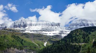
Going-to-the-Sun Road Glacier Scenic Drive
High mountain road crossing Glacier National Park.
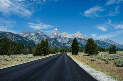
Beartooth Highway Alpine Scenic Drive
High alpine road with dramatic switchbacks.
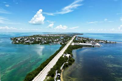
Overseas Highway Ocean Bridge Scenic Drive
Ocean bridges connecting the Florida Keys.