
Route Identity
Going-to-the-Sun Road Glacier Scenic Drive
USA — Montana
Overview Layer
Overview
Explore Going-to-the-Sun Road, one of America's most spectacular mountain drives. This engineering masterpiece crosses Glacier National Park through alpine landscapes, dramatic cliffs, crystal-clear lakes, and breathtaking mountain passes.
Weather
Alpine continental climate with heavy winter snowfall, short summer season, and rapid weather changes at elevation.
Seasonal Driving Conditions
High sections often remain closed due to snowmelt and avalanche control work.
- snow clearance operations
- partial road closures at altitude
Best accessibility period with full road opening and stable alpine conditions.
- fully open alpine pass
- stable driving conditions
Cooling temperatures with early snowfall possible at higher elevations.
- early snow risk
- cold high elevation winds
Closed in upper sections due to heavy snow and ice conditions.
- road closure in high sections
- deep snow accumulation
Road conditions
Mountain road with steep drop-offs, narrow lanes, and seasonal closure of high elevation segments.
Driving difficulty explained
High difficulty due to steep mountain roads, narrow lanes, and seasonal closures.
Route Snapshot Layer
Route Snapshot
This is a scenic driving route in Montana, USA.
The route features moderate driving conditions.
It is classified as Hard and is best suited for general road trip travelers.
Points of Interest
Scenic viewpoints
- Red Rocks — 24 m from route (1.9 km from start)
- Bird Woman Falls Overlook — 5 m from route (17.3 km from start)
- Big Bend — 10 m from route (20.5 km from start)
- Oberlin Bend — 27 m from route (24.4 km from start)
- Jackson Glacier Overlook — 23 m from route (32.7 km from start)
Attractions along the route
- Weeping Wall — 8 m from route (16.5 km from start)
Actual Driving Track (GPX-data)
Download GPXGPS Data Layer
Measured Driving Route
This route is analyzed directly from GPX track data. It features a total distance of 108.9 km, with an elevation gain of 2758 m.
Route Structure
| Type | Distance (km) | Elevation Gain (m) | Avg Gradient (%) |
|---|---|---|---|
| flat | 54.03 km | 717 m | 0% |
| climb | 26.32 km | 1733 m | 5.5% |
| descent | 28.55 km | 309 m | -5.1% |
About this route
The Going-to-the-Sun Road Glacier Scenic Drive is one of the most scenic driving experiences in USA. Located in Montana, this route offers a unique combination of landscapes, road conditions and natural highlights.
Stretching over 108.9 km, this drive takes approximately 3 hours.
This route is especially popular among travelers looking for road trips.
Travel Experience
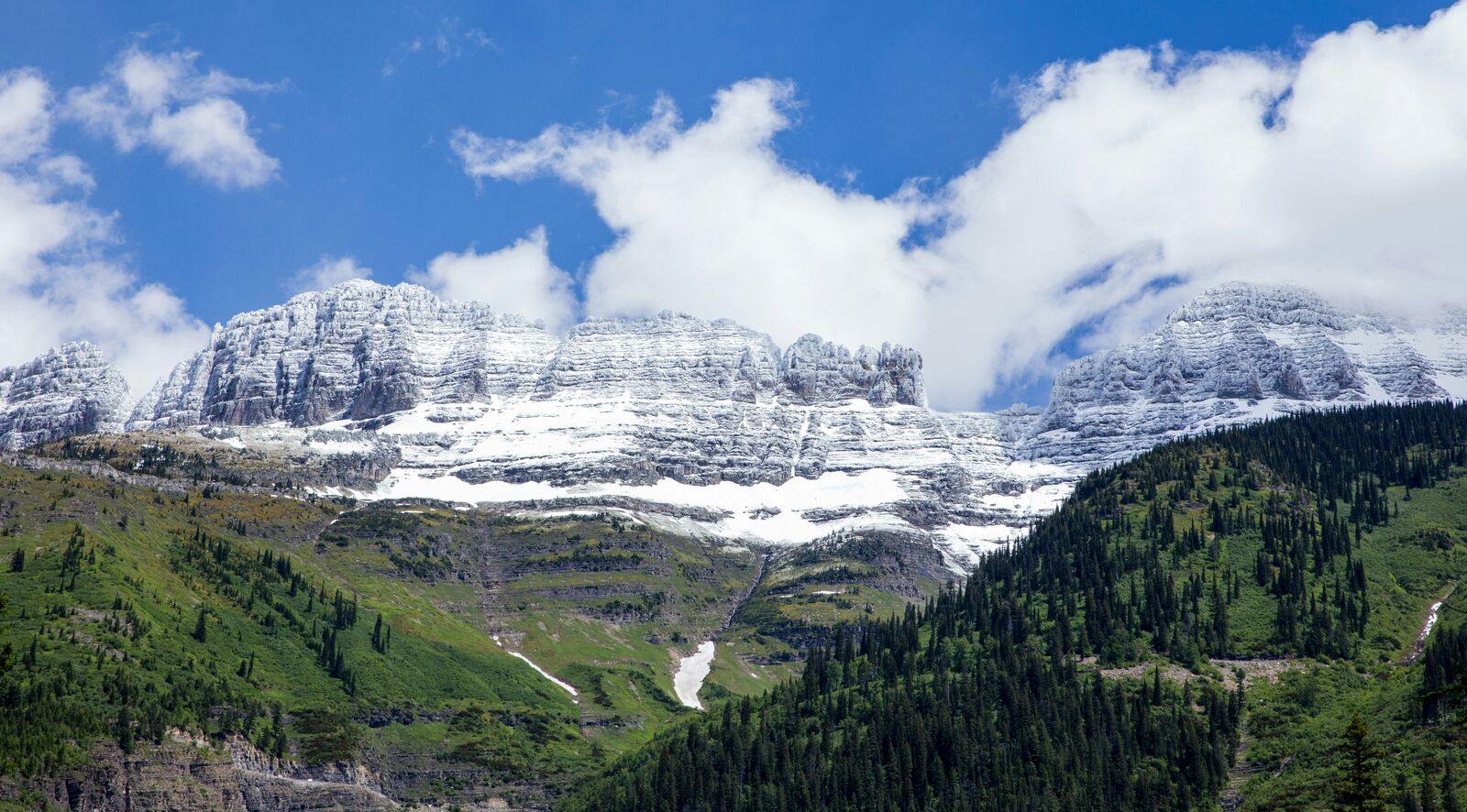
We got there pretty early because everyone kept saying the parking areas fill up fast. The first part of the road was mostly forest and it honestly felt like a normal national park drive, but after a while the views suddenly opened up and the mountains looked much bigger than anything we'd seen from below.
A lot of people were stopping at every overlook, so traffic moved slower than the speed limit most of the time. Nobody seemed to mind. We ended up pulling over more often than planned because every few miles there was another spot that looked worth checking out.
Near the higher sections there was still snow sitting along parts of the road even though the weather felt warm. People were walking around in T-shirts while standing next to snowbanks, which looked a little strange but apparently happens there all the time.
Some stretches run right along steep mountainsides and you can look far down into the valleys. The road itself felt safe, but there were a few moments where I was more focused on staying in my lane because the scenery kept pulling my attention away.
What surprised me most was how quickly the landscape changed over a relatively short distance. One moment you're surrounded by trees, then suddenly you're looking across huge alpine valleys and rocky peaks in every direction.
Best time to visit
The best time to explore the Going-to-the-Sun Road Glacier Scenic Drive is typically during spring and summer months, when weather conditions are stable and visibility is high. However, autumn offers fewer crowds and more dramatic scenery.
Travel tips
- Check official opening dates before travel
- Expect rapid weather changes at higher elevations
- Drive cautiously on narrow cliffside sections
Why visit
- Scenic landscapes unique to Montana
- Popular road trip destination in USA
- Great for photography
- Varied terrain and driving conditions
Driving Interpretation Layer
What this route means
How long is this route?
The route is approximately 108.9 km long, with an elevation gain of 2758 m.
How difficult is the drive?
This route is classified as Hard, with a maximum gradient of 6.2%.
What kind of terrain does it have?
This is a high alpine mountain route with significant elevation changes and exposed terrain.
What makes this route unique?
The route combines elevation variation (2758 m total gain) with changing landscapes shaped by natural geography and road conditions.
What type of driver is this route best suited for?
This route is best suited for experienced drivers comfortable with steep gradients, narrow mountain roads, and changing weather conditions.
Discovery Layer
More routes in USA
About USA →
Blue Ridge Parkway Scenic Mountain Drive
Scenic mountain drive through the Appalachian Highlands.

Pacific Coast Highway Coastal Scenic Drive
Iconic coastal drive along California's Pacific coastline.
Utah National Parks Scenic Loop Drive
Arches, canyons and desert landscapes.
Dalton Highway Arctic Wilderness Drive
One of the most remote roads in North America.
Beartooth Highway Alpine Scenic Drive
High alpine road with dramatic switchbacks.
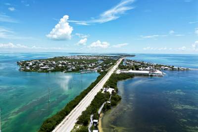
Overseas Highway Ocean Bridge Scenic Drive
Ocean bridges connecting the Florida Keys.
More similar scenic routes
Blue Ridge Parkway Scenic Mountain Drive
Scenic mountain drive through the Appalachian Highlands.
Beartooth Highway Alpine Scenic Drive
High alpine road with dramatic switchbacks.
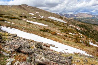
Trail Ridge Road High Alpine Scenic Drive
America's highest continuous paved road.
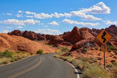
Million Dollar Highway Mountain Pass Drive
Narrow mountain highway with steep drop-offs.
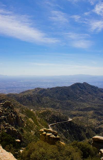
Skyline Drive Appalachian Scenic Drive
Scenic ridge road through Shenandoah National Park.

Route des Grandes Alpes Alpine Scenic Road Trip
High alpine route crossing multiple mountain passes.