
Route Identity
Beartooth Highway Alpine Scenic Drive
USA — Montana
Overview Layer
Overview
Drive the legendary Beartooth Highway, a breathtaking alpine route famous for its high elevations, endless switchbacks, rugged peaks, and panoramic mountain scenery near Yellowstone National Park.
Weather
High alpine continental climate with extreme elevation, short summer window, and long snowy winter closure period.
Seasonal Driving Conditions
Late snowmelt period with partial closures and unstable high-altitude conditions.
- snow clearing phase
- wet and unstable upper sections
Fully open alpine highway with stable weather and best driving access.
- fully open highway
- stable alpine driving conditions
Cooling temperatures with early snow risk and rapidly changing mountain weather.
- early snowfall risk
- cold high elevation winds
Closed due to heavy snow accumulation and extreme alpine conditions.
- road closure
- deep snow conditions
Road conditions
High mountain highway with steep grades, switchbacks, and exposure above tree line with seasonal closure.
Driving difficulty explained
Very high difficulty due to extreme elevation and rapid weather changes.
Route Snapshot Layer
Route Snapshot
This is a scenic driving route in Montana, USA.
The route features moderate driving conditions.
It is classified as Moderate and is best suited for general road trip travelers.
Points of Interest
Places to eat
- Hardwood — 22 m from route (0.6 km from start)
- Red Lodge Pizza Co — 13 m from route (1.0 km from start)
- Old Piney Dell — 20 m from route (10.3 km from start)
Interesting stops
- The Pub at The Pollard — 23 m from route (0.7 km from start)
Cafés and stops
- City Brew Coffee — 30 m from route (0.1 km from start)
Interesting stops
- Red Lodge Country Historical Marker — 24 m from route (1.8 km from start)
- Beartrack Trailhead — 66 m from route (17.1 km from start)
- Igneous Dikes of the Beartooth Mountains — 21 m from route (37.5 km from start)
Scenic viewpoints
- Rock Creek Vista — 288 m from route (34.0 km from start)
Actual Driving Track (GPX-data)
Download GPXGPS Data Layer
Measured Driving Route
This route is analyzed directly from GPX track data. It features a total distance of 91.0 km, with an elevation gain of 2093 m.
Route Structure
| Type | Distance (km) | Elevation Gain (m) | Avg Gradient (%) |
|---|---|---|---|
| flat | 16.22 km | 184 m | 0.1% |
| climb | 36.36 km | 1705 m | 4.1% |
| descent | 38.43 km | 205 m | -4% |
About this route
The Beartooth Highway Alpine Scenic Drive is one of the most scenic driving experiences in USA. Located in Montana, this route offers a unique combination of landscapes, road conditions and natural highlights.
Stretching over 91.0 km, this drive takes approximately 2 hours.
This route is especially popular among travelers looking for road trips.
Travel Experience
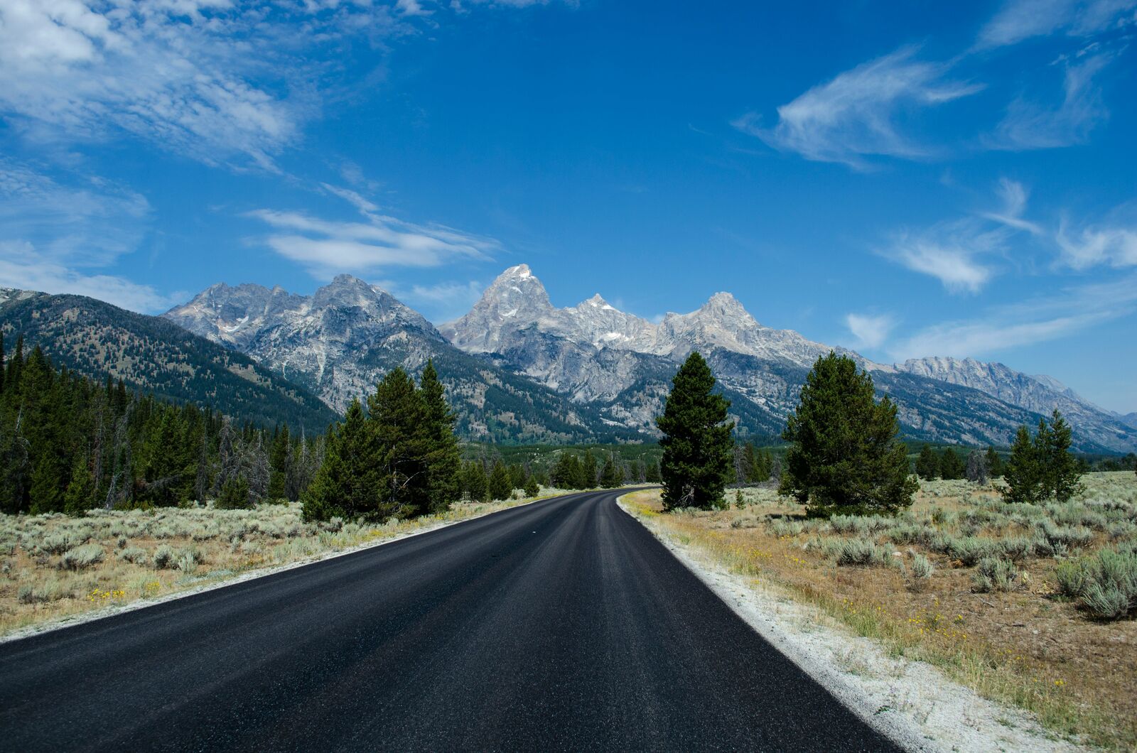
The road started out fairly normal, but after a while the elevation gain became obvious. Every few minutes we'd round another corner and realize we were much higher than before. Looking back down the valley, the road almost disappeared into the distance.
There weren't many buildings or signs once we got farther into the mountains. It felt pretty remote compared to a lot of scenic roads where you're never far from a town or visitor center. Up here it was mostly rock, sky and occasional lakes.
At one stop the wind was strong enough that nobody wanted to stay outside for very long. A few people got out, took photos and headed right back into their cars. Even in summer the temperature felt cooler than expected.
The switchbacks are probably the part most people remember. They look impressive from above, especially when you can see several levels of road stacked below each other. It's one of those drives where passengers spend a lot of time looking out the windows.
By the end of the route I felt like the elevation itself was part of the attraction. The scenery was great, but what stuck with me was how often the landscape felt closer to a high mountain plateau than a typical road trip.
Best time to visit
The best time to explore the Beartooth Highway Alpine Scenic Drive is typically during spring and summer months, when weather conditions are stable and visibility is high. However, autumn offers fewer crowds and more dramatic scenery.
Travel tips
- Check official opening dates before travel
- Expect sudden temperature drops at altitude
- Use caution on steep mountain grades
Why visit
- Scenic landscapes unique to Montana
- Popular road trip destination in USA
- Great for photography
- Varied terrain and driving conditions
Driving Interpretation Layer
What this route means
How long is this route?
The route is approximately 91.0 km long, with an elevation gain of 2093 m.
How difficult is the drive?
This route is classified as Moderate, with a maximum gradient of 5.7%.
What kind of terrain does it have?
This is a high alpine mountain route with significant elevation changes and exposed terrain.
What makes this route unique?
The route combines elevation variation (2093 m total gain) with changing landscapes shaped by natural geography and road conditions.
What type of driver is this route best suited for?
This route is best suited for experienced drivers comfortable with steep gradients, narrow mountain roads, and changing weather conditions.
Discovery Layer
More routes in USA
About USA →
Blue Ridge Parkway Scenic Mountain Drive
Scenic mountain drive through the Appalachian Highlands.

Pacific Coast Highway Coastal Scenic Drive
Iconic coastal drive along California's Pacific coastline.
Utah National Parks Scenic Loop Drive
Arches, canyons and desert landscapes.
Dalton Highway Arctic Wilderness Drive
One of the most remote roads in North America.
Going-to-the-Sun Road Glacier Scenic Drive
High mountain road crossing Glacier National Park.
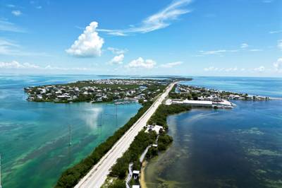
Overseas Highway Ocean Bridge Scenic Drive
Ocean bridges connecting the Florida Keys.
More similar scenic routes
Going-to-the-Sun Road Glacier Scenic Drive
High mountain road crossing Glacier National Park.
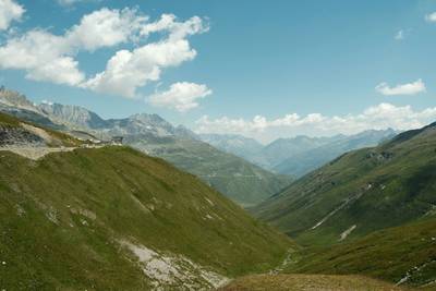
Furka Pass Scenic Alpine Drive
High alpine pass with glaciers and sharp curves
Blue Ridge Parkway Scenic Mountain Drive
Scenic mountain drive through the Appalachian Highlands.
Pacific Coast Highway Coastal Scenic Drive
Iconic coastal drive along California's Pacific coastline.
Utah National Parks Scenic Loop Drive
Arches, canyons and desert landscapes.
Overseas Highway Ocean Bridge Scenic Drive
Ocean bridges connecting the Florida Keys.