
Scenic Driving Routes in Mexico
Mexico offers extremely diverse scenic driving, from deserts and mountains to tropical coastlines and historic colonial cities. Drivers can explore Baja California highways, Yucatán Peninsula roads, Sierra Madre mountain routes, and Pacific coastal drives. Each region feels very different. Mexico is ideal for long road trips combining scenery, history, and culture.
Mexico offers an expansive canvas for long-distance road trips, defined by the rapid transition between arid northern plains and dense southern forests. Drivers encounter a network of roads that climb from low-lying coastal paths to vast interior plateaus. This elevation change creates sharp shifts in climate and view within a single day of travel. Driving across the country reveals how towns adapt to isolated valley floors, flat desert basins, and high volcanic ridges, making each route distinct.
Map of scenic routes in Mexico
Click on a route line to open its detailed page
Historical context of Mexico
Modern asphalt routes frequently trace corridors established centuries ago. Spanish colonial planners connected mining hubs in the central highlands to Gulf and Pacific ports, establishing freight trails that demanded heavy masonry and mountain passes. Long before, Indigenous empires built stone highways across the central basin to link trading centers. The modern highway system overlays these traditional trade channels, meaning long-distance drivers today follow the same geographic breaks used by merchants and armies for a thousand years.
Geography of Mexico
The central landscape is defined by two massive mountain chains, the Sierra Madre Occidental and Sierra Madre Oriental, which flank a high central plateau. These mountains force major roads to navigate steep vertical ascents and tight curves to reach interior towns. Coastal plains remain flat but transition into steep hillsides where the highlands meet the sea. Engineers built routes through natural canyons and river gaps, meaning drivers encounter significant grade variations and frequent elevation shifts when moving inland from the coast.
Road conditions in Mexico
The driving experience changes entirely between the flat peninsula regions and the high central plains. Northern toll roads feature long, straight stretches with low traffic density across open country, whereas central routes require slower speeds to manage tight mountain bends and frequent town entries. Speed-reduction mounds are common near populated areas, altering the rhythm of regional travel. Infrastructure is dense near the capital and major northern hubs but thins significantly in isolated southern highlands.
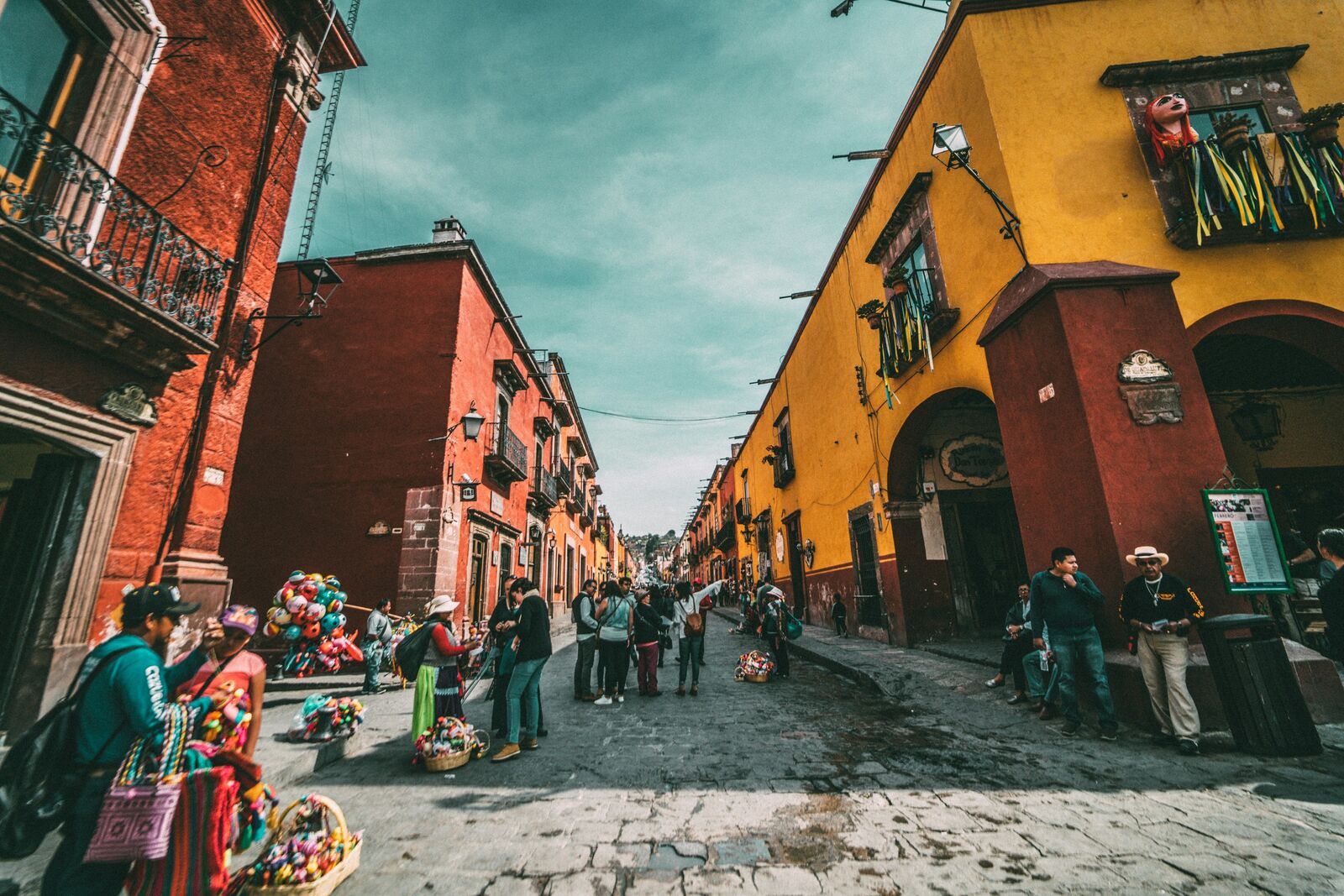
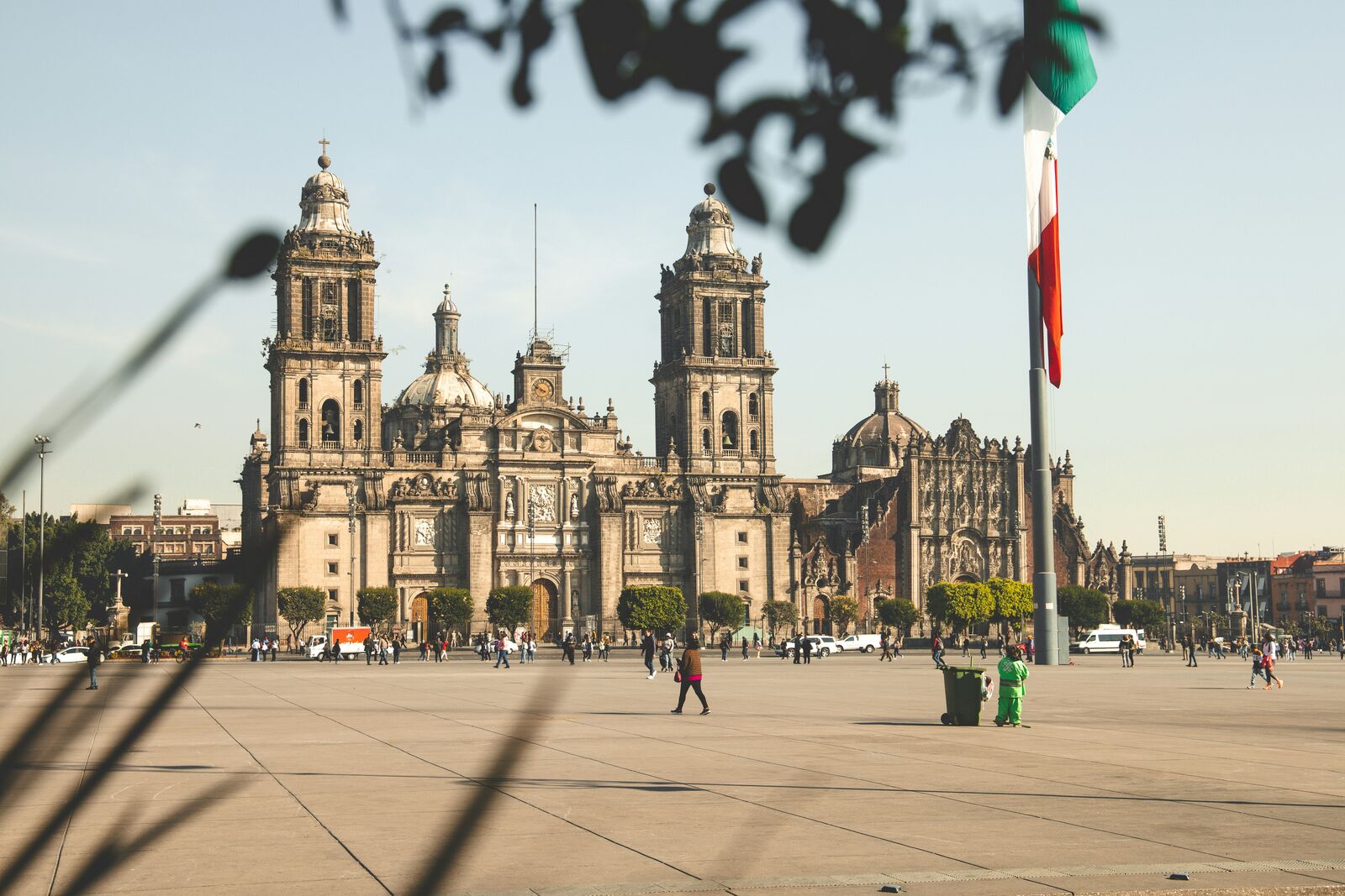
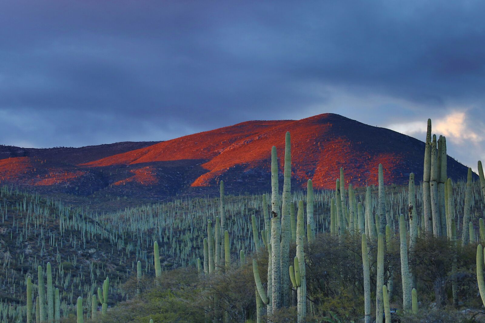
Scenic routes in Mexico
Desert routes
Interesting facts about Mexico
- The spine of the country requires trans-continental highways to regularly climb above two thousand meters in elevation.
- Baja Highway 1 runs over one thousand miles through arid terrain, linking remote oases across a narrow peninsula.
- Many federal highways run parallel to older colonial silver routes, preserving historical trade corridors for modern drivers.
Why take a road trip in Mexico?
Driving through Mexico is one of the best ways to experience its landscapes. Many of the most beautiful places are not accessible by public transport, which makes road trips the most flexible and rewarding way to explore.
The real value is not just in destinations, but in the journey itself — long empty roads, unexpected viewpoints, and small stops that don’t appear in guidebooks.
FAQ about scenic driving in Mexico
What is the best scenic drive in Mexico?
It depends on the region, but mountain and coastal routes are usually the most popular.
When is the best time to visit?
Spring to early autumn is generally the best season for road trips.
Are these routes beginner-friendly?
Many routes are easy to drive, but mountain roads may require more attention.