
Scenic Driving Routes in Chile
Chile offers one of the most extreme scenic driving environments in the world, with deserts, mountains, fjords, volcanoes, and Patagonia’s vast wilderness. Drivers can explore the Atacama Desert, Carretera Austral, Andes mountain roads, and southern fjord regions. The country is extremely long and geographically diverse. Chile is ideal for long-distance adventure road trips with dramatic natural contrasts.
Chile presents a highly unusual multi-climate road trip destination due to its elongated shape squeezed between the Pacific Ocean and the Andes mountains. Driving through the country means moving from hyper-arid northern deserts down through fertile central agricultural valleys, eventually reaching the cold forests, lakes, and fjords of the south. This structural layout makes road travel distinctive because the landscape transforms completely along a single longitudinal axis, offering drivers a prolonged shift in ecosystems over vast distances.
Map of scenic routes in Chile
Click on a route line to open its detailed page
Historical context of Chile
Settlement patterns in Chile historically concentrated in the central valley, leaving the hyper-arid north and the fragmented, glacial south isolated for centuries. Early maritime trade routes handled most regional movement. To unify the territory, twentieth-century state engineering focused on constructing a single major north-south highway corridor. Later, the construction of the remote southern Carretera Austral explicitly aimed to connect isolated frontier settlements by overland road, cutting through dense wilderness and creating the gravel routes used by drivers today.
Geography of Chile
The primary physical barrier shaping road travel is the Andes mountain range, which runs the entire length of the eastern border and restricts lateral route options. In the north, roads navigate high-altitude basins and deep ravines carved into the desert floor. In the south, the coastline breaks apart into thousands of islands and deep glacial channels, forcing roads to truncate at water barriers where drivers must use ferries to continue their journeys along the mainland corridors.
Road conditions in Chile
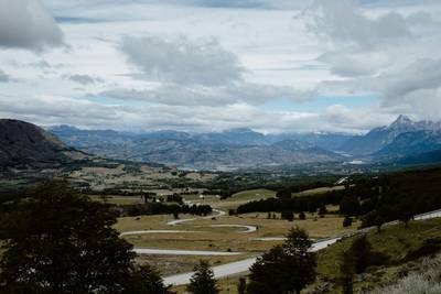
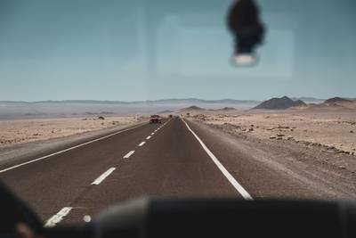
Driving conditions change drastically by latitude. Central regions feature multi-lane paved highways with frequent service plazas and heavy vehicle traffic. Moving north, roads become long, straight asphalt stretches through unpopulated terrain with few fuel stops. In the southern regions, the pavement gives way to unpaved gravel tracks that wind through dense forests, requiring slower travel speeds due to variable loose-surface traction and narrow lanes built into the hillsides.
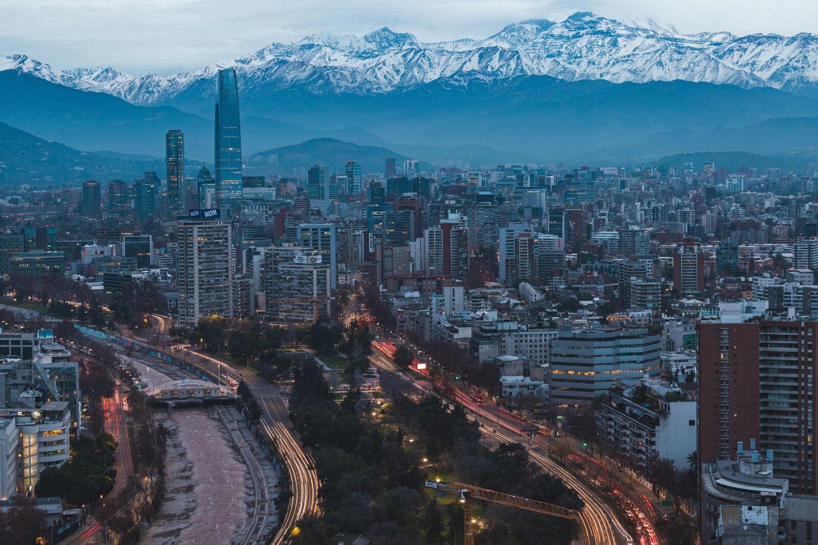
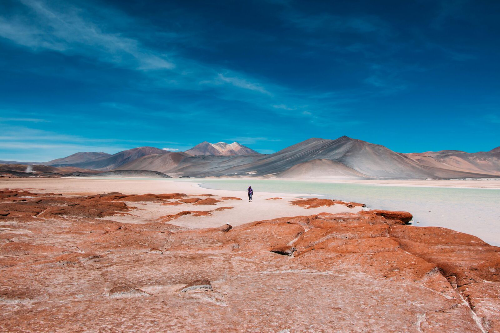
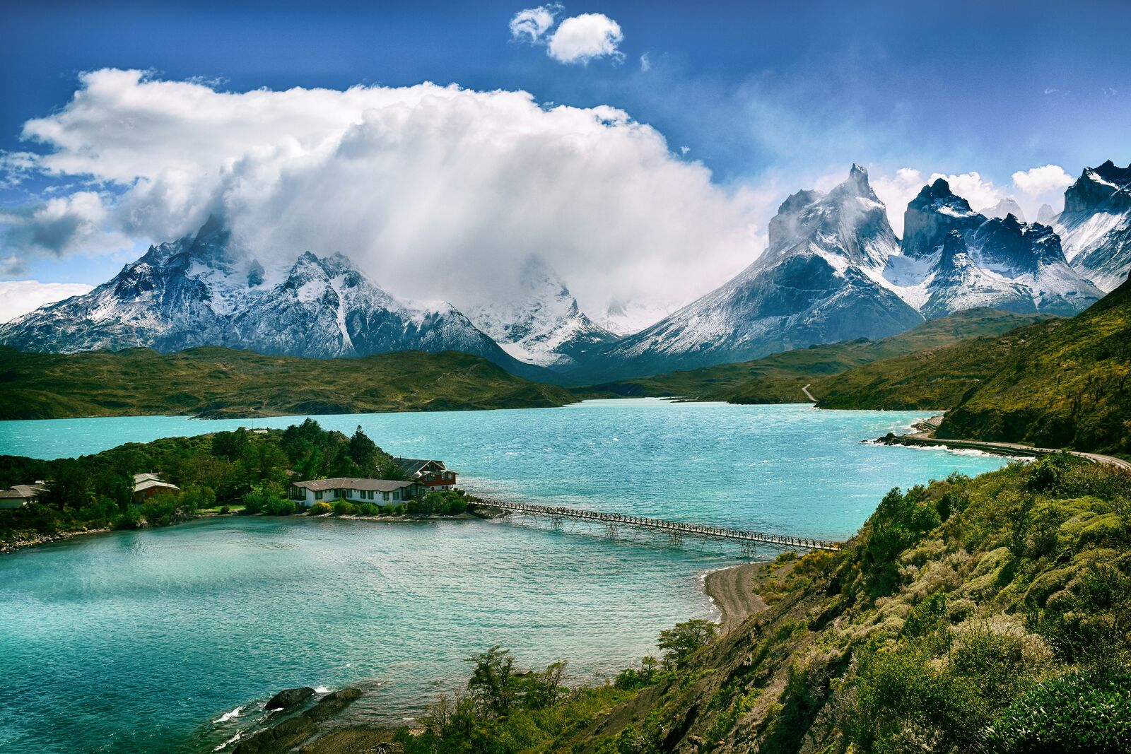
Scenic routes in Chile
Mixed scenic routes
Interesting facts about Chile
- The extreme north-south length requires drivers to travel thousands of miles to transition between desert and glacial zones.
- Southern road development relies heavily on scheduled ferry connections to bypass deep coastal fjords where roads cannot be built.
- The central highway corridor follows a natural structural depression situated safely between the coastal hills and high mountains.
Why take a road trip in Chile?
Driving through Chile is one of the best ways to experience its landscapes. Many of the most beautiful places are not accessible by public transport, which makes road trips the most flexible and rewarding way to explore.
The real value is not just in destinations, but in the journey itself — long empty roads, unexpected viewpoints, and small stops that don’t appear in guidebooks.
FAQ about scenic driving in Chile
What is the best scenic drive in Chile?
It depends on the region, but mountain and coastal routes are usually the most popular.
When is the best time to visit?
Spring to early autumn is generally the best season for road trips.
Are these routes beginner-friendly?
Many routes are easy to drive, but mountain roads may require more attention.