
Route Identity
Utah National Parks Scenic Loop Drive
USA — Utah
Overview Layer
Overview
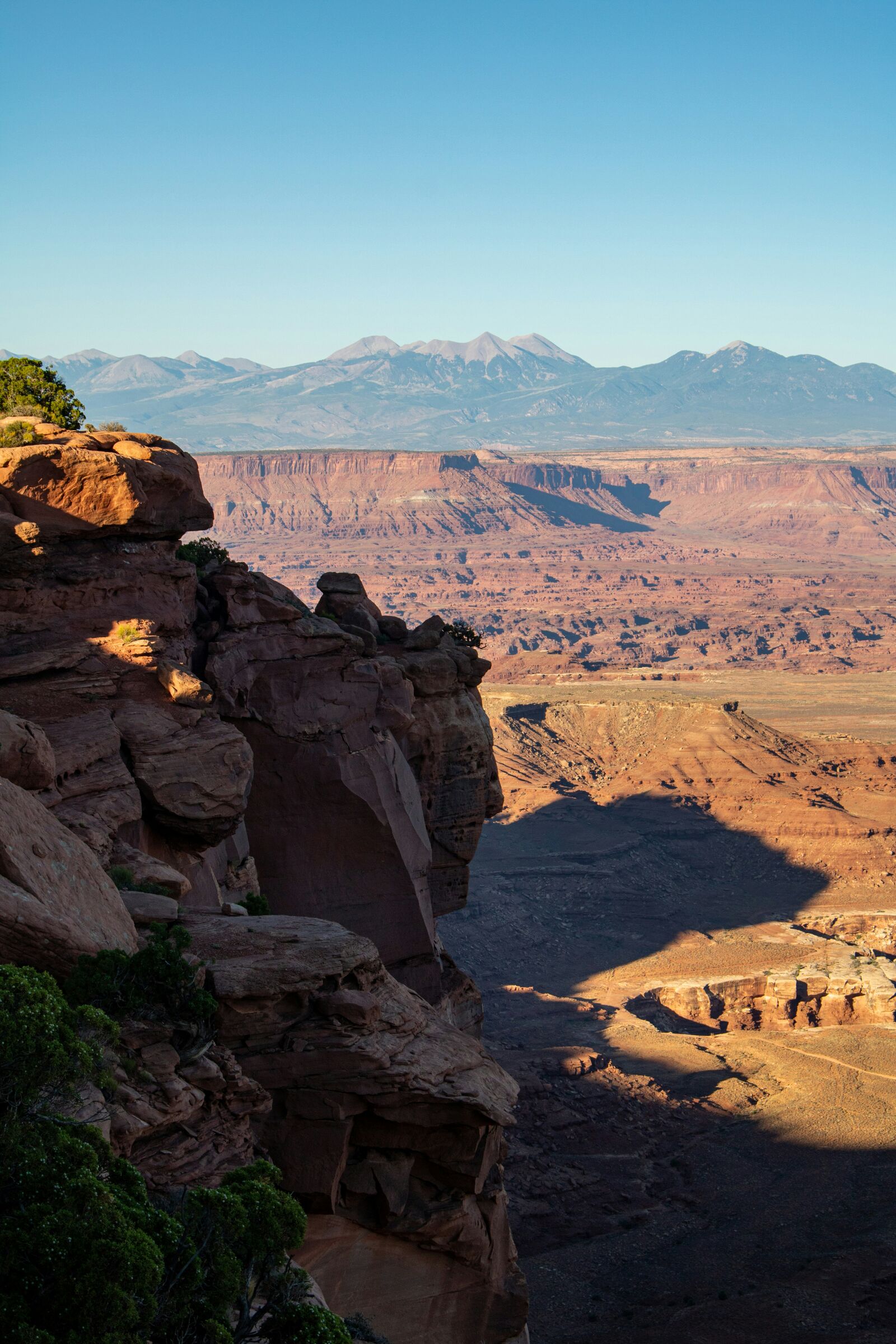
Discover the magnificent Utah National Parks Loop. This spectacular road trip through the American Southwest is famous for its stunning red rock canyons, otherworldly desert landscapes, and rugged national parks.
Weather
Mixed desert and high plateau climate across multiple national parks with strong heat in summer and cold winter nights.
Seasonal Driving Conditions
Mild conditions with variable rainfall and moderate temperatures across desert and canyon regions.
- moderate canyon temperatures
- occasional rainfall runoff
Hot and dry desert conditions with extreme daytime temperatures in lower elevations.
- extreme heat in desert areas
- dry pavement conditions
Cooling temperatures with stable weather and reduced heat stress.
- stable and cooler driving conditions
- reduced heat exposure
Cold nights with possible snow in higher elevation parks and generally stable daytime conditions.
- cold nights
- occasional snow in elevated park areas
Road conditions
Long-distance highway loop connecting desert parks with paved roads, canyon sections, and elevation variability.
Driving difficulty explained
Moderate difficulty due to heat exposure and long remote driving distances.
Route Snapshot Layer
Route Snapshot
This is a scenic driving route in Utah, USA.
The route features moderate driving conditions.
It is classified as Extreme and is best suited for general road trip travelers.
Points of Interest
Scenic viewpoints
- Pullout — 0 m from route (48.8 km from start)
- Sheep, Mountain Zion — 14 m from route (54.1 km from start)
- Checkerboard Mesa — 20 m from route (54.8 km from start)
- Scenic Turnout — 14 m from route (150.8 km from start)
- Powell Point Vista — 20 m from route (226.6 km from start)
Attractions along the route
- Red Canyon Arc — 11 m from route (153.1 km from start)
- Red Canyon Arc — 7 m from route (153.2 km from start)
Actual Driving Track (GPX-data)
Download GPXGPS Data Layer
Measured Driving Route
This route is analyzed directly from GPX track data. It features a total distance of 758.7 km, with an elevation gain of 12241 m.
Route Structure
| Type | Distance (km) | Elevation Gain (m) | Avg Gradient (%) |
|---|---|---|---|
| flat | 479.01 km | 5170 m | 0% |
| climb | 138.72 km | 6370 m | 3.6% |
| descent | 140.97 km | 701 m | -3.7% |
About this route
The Utah National Parks Scenic Loop Drive is one of the most scenic driving experiences in USA. Located in Utah, this route offers a unique combination of landscapes, road conditions and natural highlights.
Stretching over 758.7 km, this drive takes approximately 16 hours.
This route is especially popular among travelers looking for road trips.
Travel Experience
We started early because we wanted to get ahead of the heat, but it still felt warm pretty quickly once we left the first park entrance. The road between stops was longer than I expected, just open desert and occasional signs.
At one viewpoint there were already a lot of people, mostly taking photos of the rock formations. We stayed a bit, but it was crowded enough that it didn’t feel like a place to linger too long.
There were long stretches where we just drove between parks without saying much. Someone kept checking the map trying to figure out how close we actually were to the next stop, but it always felt farther than it looked.
We stopped for food in a small town that felt mostly built around passing traffic. Nothing memorable about the meal, just a break from the heat and sitting in the car for hours.
Later in the day, the canyons started to feel repetitive in a way that wasn’t bad, just overwhelming. It’s one of those drives where the Utah National Parks Loop looks like a collection of highlights, but in reality it’s a lot of driving through similar desert space between them.
Best time to visit
The best time to explore the Utah National Parks Scenic Loop Drive is typically during spring and summer months, when weather conditions are stable and visibility is high. However, autumn offers fewer crowds and more dramatic scenery.
Travel tips
- Carry sufficient water in desert sections
- Avoid midday driving in summer heat
- Check weather differences between parks
Why visit
- Scenic landscapes unique to Utah
- Popular road trip destination in USA
- Great for photography
- Varied terrain and driving conditions
Driving Interpretation Layer
What this route means
How long is this route?
The route is approximately 758.7 km long, with an elevation gain of 12241 m.
How difficult is the drive?
This route is classified as Extreme, with a maximum gradient of 7.2%.
What kind of terrain does it have?
This is a high alpine mountain route with significant elevation changes and exposed terrain.
What makes this route unique?
The route combines elevation variation (12241 m total gain) with changing landscapes shaped by natural geography and road conditions.
What type of driver is this route best suited for?
This route is best suited for experienced drivers comfortable with steep gradients, narrow mountain roads, and changing weather conditions.
Discovery Layer
More routes in USA
About USA →
Blue Ridge Parkway Scenic Mountain Drive
Scenic mountain drive through the Appalachian Highlands.

Pacific Coast Highway Coastal Scenic Drive
Iconic coastal drive along California's Pacific coastline.
Dalton Highway Arctic Wilderness Drive
One of the most remote roads in North America.
Going-to-the-Sun Road Glacier Scenic Drive
High mountain road crossing Glacier National Park.
Beartooth Highway Alpine Scenic Drive
High alpine road with dramatic switchbacks.
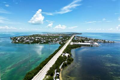
Overseas Highway Ocean Bridge Scenic Drive
Ocean bridges connecting the Florida Keys.
More similar scenic routes
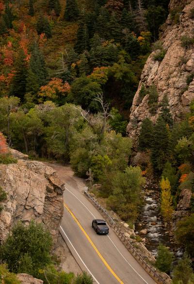
Route 12 Utah Desert Scenic Drive
Red rock landscapes and high plateaus.
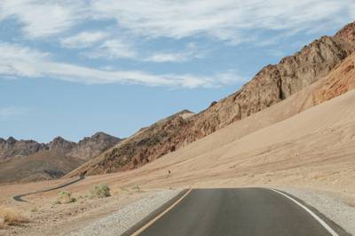
Death Valley Scenic Drive
Extreme desert drive through salt flats, dunes and vast volcanic landscapes in Death Valley National Park
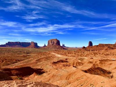
Monument Valley Scenic Drive
Iconic desert road through towering sandstone buttes and vast Navajo landscapes
Blue Ridge Parkway Scenic Mountain Drive
Scenic mountain drive through the Appalachian Highlands.
Pacific Coast Highway Coastal Scenic Drive
Iconic coastal drive along California's Pacific coastline.
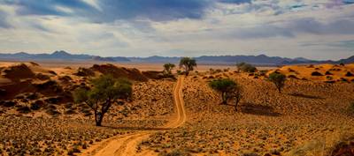
Namib Desert Dune Scenic Drive
Endless desert landscapes and red dunes.