
Route Identity
Furka Pass Scenic Alpine Drive
Switzerland — Alps
Overview Layer
Overview
The Furka Pass in the Swiss Alps is an unforgettable challenge, known for its steep hairpin bends and breathtaking views of glaciers. This challenging alpine drive offers an intense and unforgettable mountain road trip experience.
Weather
High alpine climate with strong seasonal snow, rapid weather changes, and low winter accessibility.
Seasonal Driving Conditions
Late spring reopening period with remaining snow patches at high altitude.
- snow clearing operations
- variable traction at high altitude
Mild alpine conditions with fully open pass and stable road access.
- fully open pass road
- stable alpine driving conditions
Cooling temperatures with early snowfall risk at higher elevations.
- early snow at elevation
- cool temperatures affecting grip
Closed due to heavy snow accumulation and avalanche risk.
- road closure
- snow and avalanche risk conditions
Road conditions
Steep mountain pass with tight switchbacks, high elevation exposure, and seasonal closure in winter.
Driving difficulty explained
High difficulty due to steep gradients, high altitude, and sharp switchbacks.
Route Snapshot Layer
Route Snapshot
This is a scenic driving route in Alps, Switzerland.
The route features moderate driving conditions.
It is classified as Hard and is best suited for general road trip travelers.
Points of Interest
Attractions along the route
- James Bond Strasse — 21 m from route (1.4 km from start)
- Klein Wasserkraftwerk — 11 m from route (21.3 km from start)
- Waggon Matterhorn Gotthard Bahn — 34 m from route (27.5 km from start)
Interesting stops
- Furka Passhöhe — 30 m from route (11.2 km from start)
Interesting stops
- Hotel Galenstock — 25 m from route (4.5 km from start)
Actual Driving Track (GPX-data)
Download GPXGPS Data Layer
Measured Driving Route
This route is analyzed directly from GPX track data. It features a total distance of 27.6 km, with an elevation gain of 814 m.
Route Structure
| Type | Distance (km) | Elevation Gain (m) | Avg Gradient (%) |
|---|---|---|---|
| climb | 10.62 km | 800 m | 7.5% |
| descent | 16.84 km | 11 m | -6.2% |
| flat | 0.16 km | 4 m | -0.4% |
About this route
The Furka Pass Scenic Alpine Drive is one of the most scenic driving experiences in Switzerland. Located in Alps, this route offers a unique combination of landscapes, road conditions and natural highlights.
Stretching over 27.6 km, this drive takes approximately 1 hours.
This route is especially popular among travelers looking for road trips.
Travel Experience
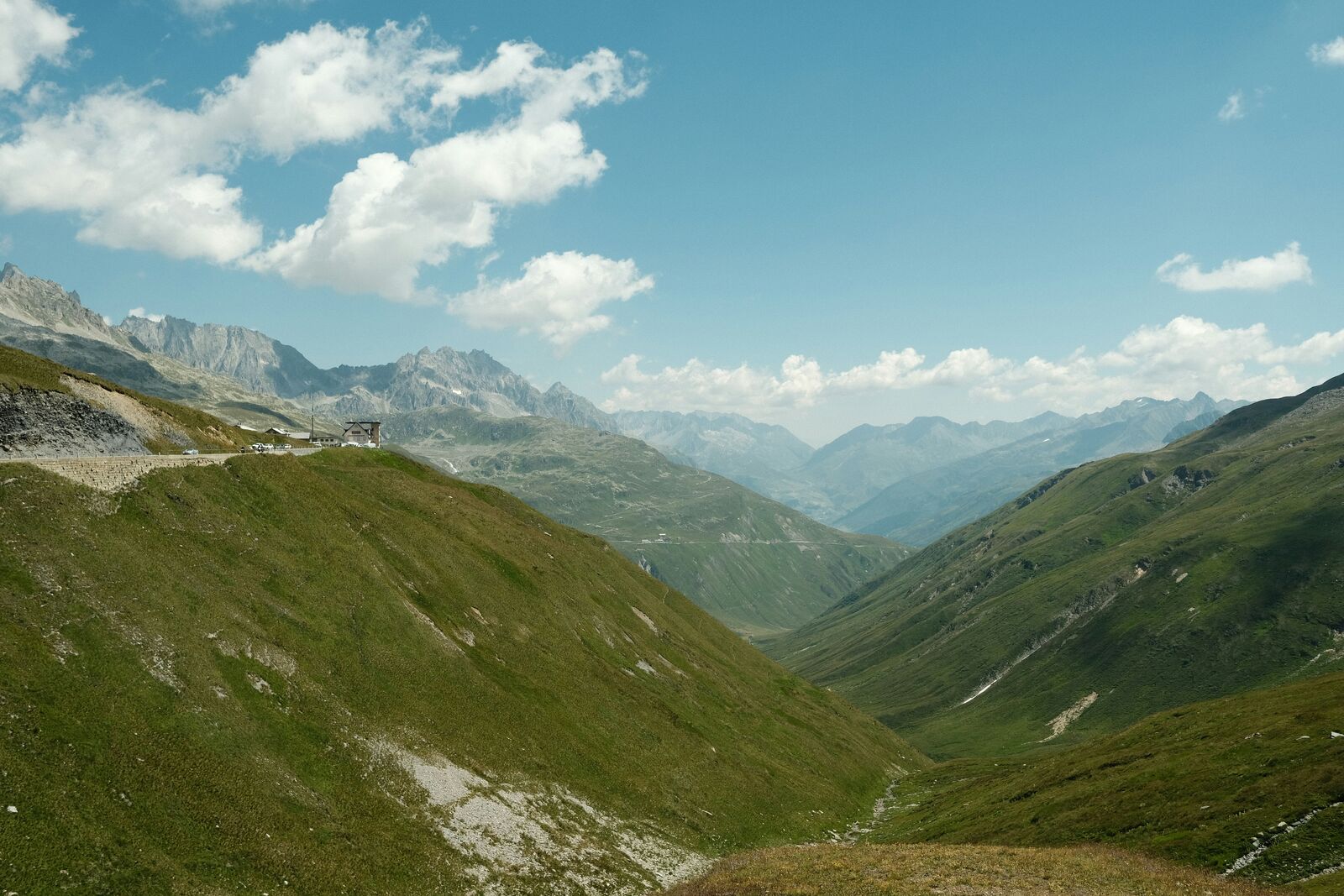
The climb itself was seriously grueling; the road banked sharply, and the air was thin and crisp. Every curve required total attention, like driving through a massive funhouse machine. I remember thinking this was perhaps the most challenging stretch of driving I'd ever done.
We were negotiating a couple of these hairpin bends, and the sheer rock faces dropping off on one side were wild to look at. There was no time to stop or really process the view, you just had to focus on the immediate path ahead of the tires.
The descent into the next valley was faster than I expected, but the hairpin turns didn't let up. I felt my calves burning from the constant braking, and we kept having to adjust our pace. We pulled over briefly just to let the motor cool down a bit.
We spent a good amount of time at the peak, and the air was unbelievably crisp. The view of the glaciers spread out below us was massive. It made us appreciate the sheer scope of the alpine terrain, and it really defined this as a major scenic drive experience.
Best time to visit
The best time to explore the Furka Pass Scenic Alpine Drive is typically during spring and summer months, when weather conditions are stable and visibility is high. However, autumn offers fewer crowds and more dramatic scenery.
Travel tips
- Check pass opening dates before travel
- Use low gear on steep descents
- Expect rapid weather changes at altitude
Why visit
- Scenic landscapes unique to Alps
- Popular road trip destination in Switzerland
- Great for photography
- Varied terrain and driving conditions
Driving Interpretation Layer
What this route means
How long is this route?
The route is approximately 27.6 km long, with an elevation gain of 814 m.
How difficult is the drive?
This route is classified as Hard, with a maximum gradient of 8.5%.
What kind of terrain does it have?
This is a high alpine mountain route with significant elevation changes and exposed terrain.
What makes this route unique?
The route combines elevation variation (814 m total gain) with changing landscapes shaped by natural geography and road conditions.
What type of driver is this route best suited for?
This route is best suited for experienced drivers comfortable with steep gradients, narrow mountain roads, and changing weather conditions.
Discovery Layer
More routes in Switzerland
About Switzerland →
Bernina Pass Alpine Scenic Drive
High alpine crossing between Switzerland and Italy.
Jungfrau Region Alpine Scenic Drive
Glaciers, peaks and alpine valleys.
Gotthard Pass Historic Alpine Drive
Historic alpine pass with cobblestone sections, sharp bends and dramatic mountain scenery
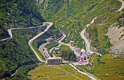
Grimsel Pass Alpine Reservoir Scenic Drive
Dramatic alpine pass with reservoirs, rocky landscapes and sharp switchbacks
More similar scenic routes
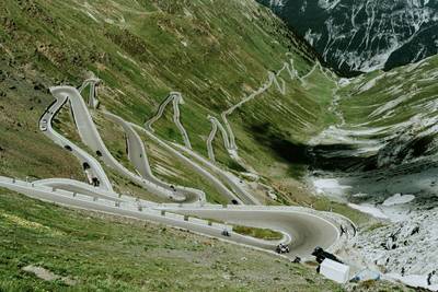
Stelvio Pass Alpine Scenic Drive
Iconic alpine road with 48 hairpin turns and dramatic mountain views
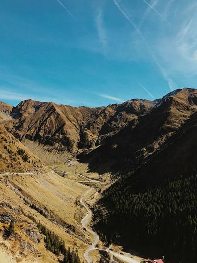
Transfăgărășan Alpine Scenic Highway Drive
One of the most dramatic mountain roads in the world
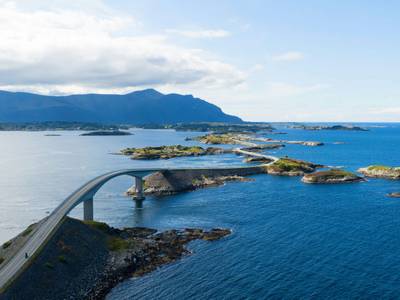
Atlantic Ocean Road Scenic Drive
Road across islands and bridges over the Atlantic Ocean
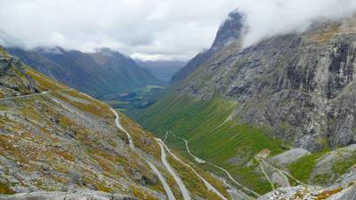
Trollstigen Mountain Pass Scenic Drive
Famous mountain road with steep hairpin bends and waterfalls
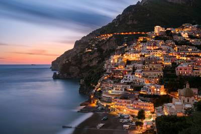
Amalfi Coast Scenic Drive
Winding coastal road with dramatic sea views
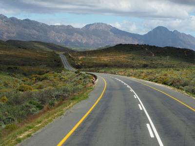
Drakensberg Sani Pass Scenic Scenic Mountain Drive (Sani Pass → Lesotho entry)
Mountain drive along dramatic escarpments.