
Route Identity
Stelvio Pass Alpine Scenic Drive
Italy — Alps
Overview Layer
Overview
Discover the thrilling Stelvio Pass in the Italian Alps. This iconic mountain drive is famous for its dramatic switchbacks and towering alpine views. Expect a challenging but immensely rewarding scenic drive experience through the heart of the Dolomites.
Weather
Extreme alpine climate with rapid weather changes and strong seasonal snow cover.
Seasonal Driving Conditions
Late opening period with snow clearance and unstable alpine conditions.
- snow clearing operations
- wet upper sections
Fully open with stable mountain weather and best driving conditions.
- fully open pass
- stable driving conditions
Cooling temperatures with early snow risk at altitude.
- early snowfall risk
- cool alpine winds
Closed due to heavy snow and avalanche risk.
- road closure
- deep snow accumulation
Road conditions
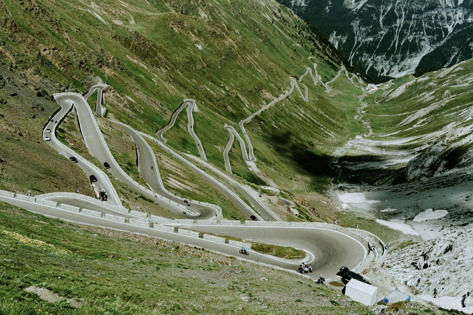
Very steep switchback road with tight curves and high altitude exposure.
Driving difficulty explained
Very high difficulty due to extreme switchbacks and elevation.
Route Snapshot Layer
Route Snapshot
This is a scenic driving route in Alps, Italy.
The route features moderate driving conditions.
It is classified as Hard and is best suited for general road trip travelers.
Points of Interest
Scenic viewpoints
- Stilfserjoch - Passo Stelvio — 22 m from route (102.4 km from start)
Places to eat
- Post Gries — 10 m from route (0.0 km from start)
- Capitani — 20 m from route (125.0 km from start)
Cafés and stops
- Bar Nuovo — 12 m from route (124.7 km from start)
Attractions along the route
- Weinfass — 189 m from route (34.1 km from start)
Actual Driving Track (GPX-data)
Download GPXGPS Data Layer
Measured Driving Route
This route is analyzed directly from GPX track data. It features a total distance of 125.3 km, with an elevation gain of 2573 m.
Route Structure
| Type | Distance (km) | Elevation Gain (m) | Avg Gradient (%) |
|---|---|---|---|
| flat | 65.29 km | 324 m | 0.2% |
| climb | 38.57 km | 2246 m | 5.8% |
| descent | 21.44 km | 2 m | -6.9% |
About this route
The Stelvio Pass Alpine Scenic Drive is one of the most scenic driving experiences in Italy. Located in Alps, this route offers a unique combination of landscapes, road conditions and natural highlights.
Stretching over 125.3 km, this drive takes approximately 3 hours.
This route is especially popular among travelers looking for road trips.
Travel Experience
The air got really cold the higher we climbed, and the fog started rolling in really fast. I remember having to slow down multiple times because the sheer drop on the outside of the road was so intense. Seriously, navigating these switchbacks felt like a full-time job.
For a good stretch, the road was pretty straightforward, just winding through pine forest. Honestly, there wasn't much going on for about twenty minutes—just the trees and the sound of the tires. We were just trying to figure out the best way to keep the momentum going through the mountains.
We finally reached the upper sections and pulled over because we needed a break. The view was huge, but the sheer scale of it kinda knocked the wind out of me. I kept pointing out little details, like how different the greenery looked at that elevation. These are definitely some of the best viewpoints along the road.
We spent a long time crossing this pass today. My main focus was just managing the speed on the descents—it felt like we were always braking or gaining momentum. Later, pulling out into the valley, the change in air temperature was noticeable; it felt much warmer all at once.
Best time to visit
The best time to explore the Stelvio Pass Alpine Scenic Drive is typically during spring and summer months, when weather conditions are stable and visibility is high. However, autumn offers fewer crowds and more dramatic scenery.
Travel tips
- Use low gears on descent
- Expect heavy summer traffic
- Avoid winter travel due to closure
Why visit
- Scenic landscapes unique to Alps
- Popular road trip destination in Italy
- Great for photography
- Varied terrain and driving conditions
Driving Interpretation Layer
What this route means
How long is this route?
The route is approximately 125.3 km long, with an elevation gain of 2573 m.
How difficult is the drive?
This route is classified as Hard, with a maximum gradient of 9.0%.
What kind of terrain does it have?
This is a high alpine mountain route with significant elevation changes and exposed terrain.
What makes this route unique?
The route combines elevation variation (2573 m total gain) with changing landscapes shaped by natural geography and road conditions.
What type of driver is this route best suited for?
This route is best suited for experienced drivers comfortable with steep gradients, narrow mountain roads, and changing weather conditions.
Discovery Layer
More routes in Italy
About Italy →
Amalfi Coast Scenic Drive
Winding coastal road with dramatic sea views
Dolomites Mountain Scenic Drive
Epic mountain drive through the Dolomites.
Sardinia Coastal Scenic Drive
Turquoise waters and winding coastal roads of Sardinia.
More similar scenic routes
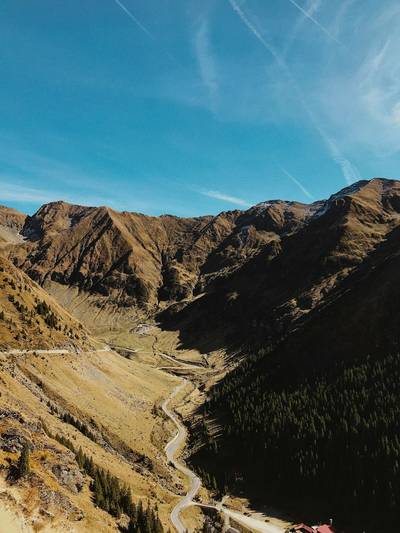
Transfăgărășan Alpine Scenic Highway Drive
One of the most dramatic mountain roads in the world
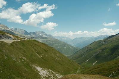
Furka Pass Scenic Alpine Drive
High alpine pass with glaciers and sharp curves
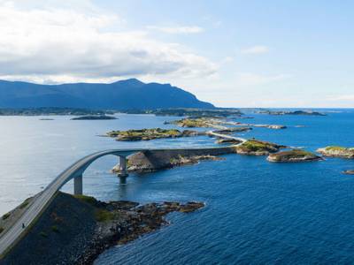
Atlantic Ocean Road Scenic Drive
Road across islands and bridges over the Atlantic Ocean
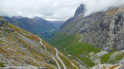
Trollstigen Mountain Pass Scenic Drive
Famous mountain road with steep hairpin bends and waterfalls
Amalfi Coast Scenic Drive
Winding coastal road with dramatic sea views
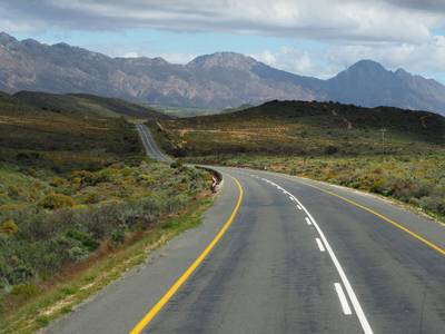
Drakensberg Sani Pass Scenic Scenic Mountain Drive (Sani Pass → Lesotho entry)
Mountain drive along dramatic escarpments.