
Route Identity
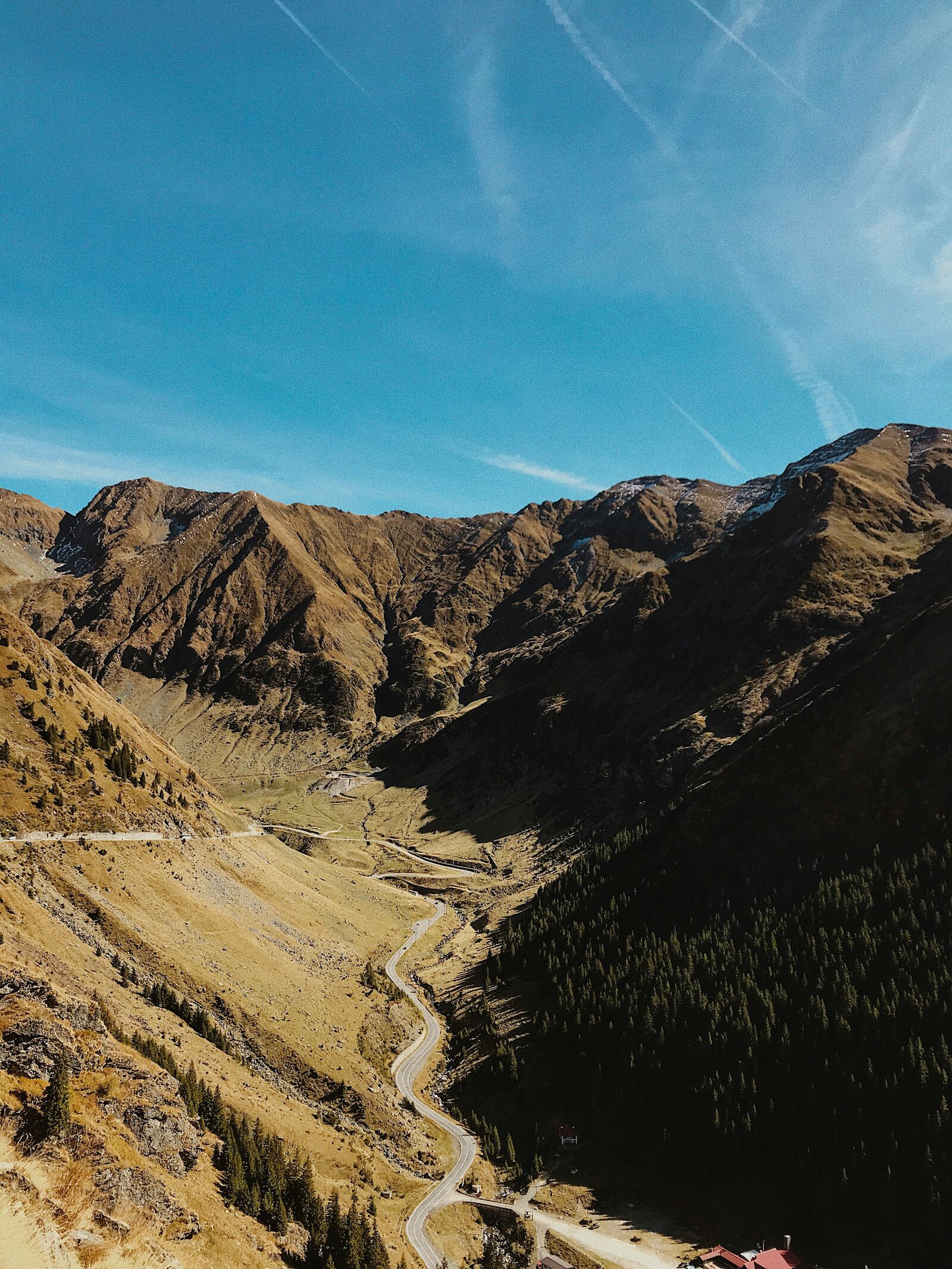
Transfăgărășan Alpine Scenic Highway Drive
Romania — Carpathians
Overview Layer
Overview
Take on the legendary Transfăgărășan Highway in Romania. Known as one of the world's most dramatic mountain roads, this challenging passage through the Carpathian Mountains offers unparalleled high-altitude views and an epic road trip adventure.
Weather
Carpathian alpine climate with strong seasonal variation and significant snowfall at high elevations.
Seasonal Driving Conditions
High sections often remain closed due to snow and avalanche risk.
- partial snow clearance
- limited access at higher elevations
Main open season with full access to alpine sections.
- full route accessibility
- stable alpine road conditions
Cooling temperatures with increasing precipitation and early closure risk.
- rapid cooling
- early snow risk at elevation
Closed in high-altitude sections due to snow and ice.
- high section closures
- snow and ice accumulation
Road conditions
High mountain paved road with tunnels, sharp curves, and seasonal closure of highest sections.
Driving difficulty explained
High difficulty due to elevation, sharp curves, and seasonal closures.
Route Snapshot Layer
Route Snapshot
This is a scenic driving route in Carpathians, Romania.
The route features moderate driving conditions.
It is classified as Hard and is best suited for general road trip travelers.
Points of Interest
Scenic viewpoints
- Panoramă Transfăgărășan — 34 m from route (77.4 km from start)
- Curba lui Zavate — 8 m from route (88.9 km from start)
Attractions along the route
- Piața Aurarilor — 99 m from route (0.0 km from start)
- Cascada Capra — 26 m from route (84.4 km from start)
- Valea lui Stan - intrare traseu — 9 m from route (132.7 km from start)
Actual Driving Track (GPX-data)
Download GPXGPS Data Layer
Measured Driving Route
This route is analyzed directly from GPX track data. It features a total distance of 160.9 km, with an elevation gain of 3673 m.
Route Structure
| Type | Distance (km) | Elevation Gain (m) | Avg Gradient (%) |
|---|---|---|---|
| flat | 94.1 km | 1061 m | -0.1% |
| climb | 34.24 km | 2177 m | 5% |
| descent | 32.58 km | 435 m | -4.7% |
About this route
The Transfăgărășan Alpine Scenic Highway Drive is one of the most scenic driving experiences in Romania. Located in Carpathians, this route offers a unique combination of landscapes, road conditions and natural highlights.
Stretching over 160.9 km, this drive takes approximately 4 hours.
This route is especially popular among travelers looking for road trips.
Travel Experience
The climbs were absolutely relentless; the engine sounded strained the whole time, constantly fighting gravity. We had to pull over multiple times just to let everyone catch their breath and stretch our legs. I remember thinking, this is probably one of the hardest drives I've ever done.
For a decent stretch, the road was winding through the high valley, but there wasn't much changing much visually. We just kept going, trying to figure out how long the drive feels when you're going up and down the same rock faces for hours.
When we finally reached the highest point, the view was overwhelming. It made us realize what a massive, wild scenic drive experience this was. We spent maybe fifteen minutes just walking around, trying to process the scale of everything.
The descent was almost worse than the climb—the constant braking was exhausting. Our legs were burning, and the temperature dropped fast after the heat of the day. We drove the last section slowly, just relieved to be moving toward the lower ground.
Best time to visit
The best time to explore the Transfăgărășan Alpine Scenic Highway Drive is typically during spring and summer months, when weather conditions are stable and visibility is high. However, autumn offers fewer crowds and more dramatic scenery.
Travel tips
- Check seasonal road opening dates
- Expect tunnels and narrow sections
- Monitor weather conditions at high altitude
Why visit
- Scenic landscapes unique to Carpathians
- Popular road trip destination in Romania
- Great for photography
- Varied terrain and driving conditions
Driving Interpretation Layer
What this route means
How long is this route?
The route is approximately 160.9 km long, with an elevation gain of 3673 m.
How difficult is the drive?
This route is classified as Hard, with a maximum gradient of 7.0%.
What kind of terrain does it have?
This is a high alpine mountain route with significant elevation changes and exposed terrain.
What makes this route unique?
The route combines elevation variation (3673 m total gain) with changing landscapes shaped by natural geography and road conditions.
What type of driver is this route best suited for?
This route is best suited for experienced drivers comfortable with steep gradients, narrow mountain roads, and changing weather conditions.
Discovery Layer
More routes in Romania
About Romania →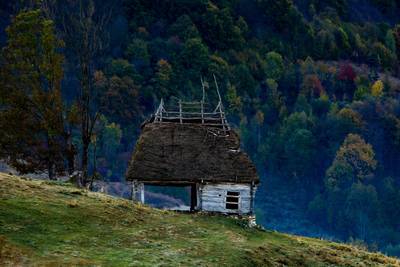
Apuseni Mountains Scenic Drive
Forests, caves and rural mountain roads.
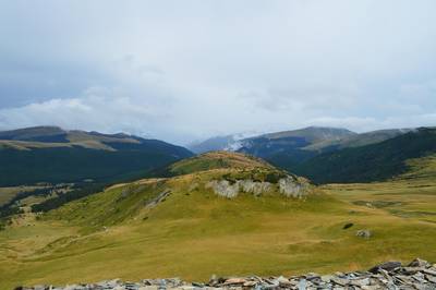
Transalpina Scenic Drive – Romania’s Highest Mountain Road Through the Carpathians
Romania’s highest paved road crossing alpine ridges, mountain passes and panoramic Carpathian landscapes
More similar scenic routes
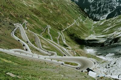
Stelvio Pass Alpine Scenic Drive
Iconic alpine road with 48 hairpin turns and dramatic mountain views
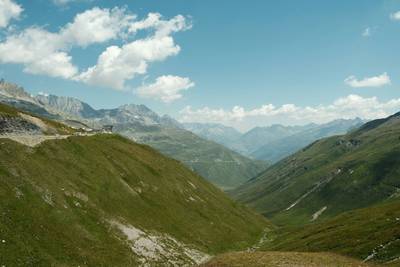
Furka Pass Scenic Alpine Drive
High alpine pass with glaciers and sharp curves
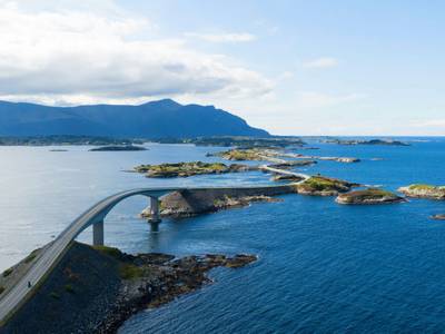
Atlantic Ocean Road Scenic Drive
Road across islands and bridges over the Atlantic Ocean
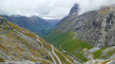
Trollstigen Mountain Pass Scenic Drive
Famous mountain road with steep hairpin bends and waterfalls
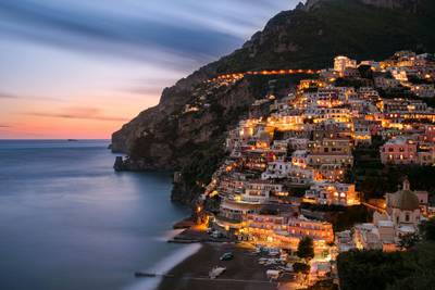
Amalfi Coast Scenic Drive
Winding coastal road with dramatic sea views
Drakensberg Sani Pass Scenic Scenic Mountain Drive (Sani Pass → Lesotho entry)
Mountain drive along dramatic escarpments.