
Scenic Driving Routes in Colombia
Colombia offers one of the most diverse scenic driving experiences in South America, with Andes mountains, tropical coastlines, coffee regions, and jungle landscapes. Drivers can explore winding mountain roads in the Andes, Caribbean coastal highways, the Coffee Triangle, and remote rural valleys. Elevation changes are frequent and dramatic. Colombia is ideal for road trips combining tropical nature, mountains, and cultural regions.
Colombia provides a complex road trip environment defined by the split of the Andes into three distinct mountain ranges. Driving here involves moving between high-altitude cloud forests, deep river valleys, and low-lying coastal plains. The routes change rapidly as drivers descend from cool mountain passes into warm tropical basins, creating a driving experience focused on navigating constant changes in altitude, temperature, and roadside vegetation over relatively short travel distances.
Map of scenic routes in Colombia
Click on a route line to open its detailed page
Historical context of Colombia
Colonial settlement patterns focused heavily on the high fertile valleys of the interior, leaving coastal areas and lowland plains isolated for centuries. Early transport relied on the Magdalena River, forcing road builders to design routes that connected highland cities to river ports. Decades of regional separation encouraged independent infrastructure development within each mountain valley. Modern road projects now focus on tunneling through these ridges, meaning drivers encounter a mix of historic winding tracks and new engineered corridors.
Geography of Colombia
The Western, Central, and Eastern Cordilleras run parallel across the country, separated by the deep structural valleys of the Cauca and Magdalena rivers. This parallel mountain structure forces long-distance road routes to run north-south along valley floors or undertake steep east-west climbs over high passes. The high elevation of the ranges creates distinct thermal zones, meaning a single day of driving can transition from humid sea-level plains to damp alpine environments above three thousand meters.
Road conditions in Colombia
Driving across the interior requires navigating continuous elevation changes, tight curves, and heavy cargo truck traffic on two-lane roads. The density of roadside service stations and towns is high along the primary highland corridors but decreases significantly in the eastern plains and southern forests. Coastal routes offer flatter, straighter sections of asphalt, while the mountain roads demand frequent shifting and lower average speeds due to the steep terrain.
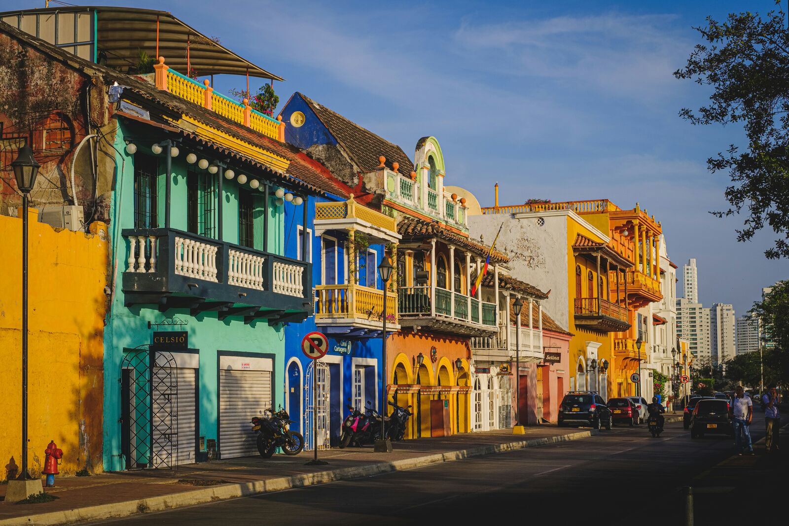
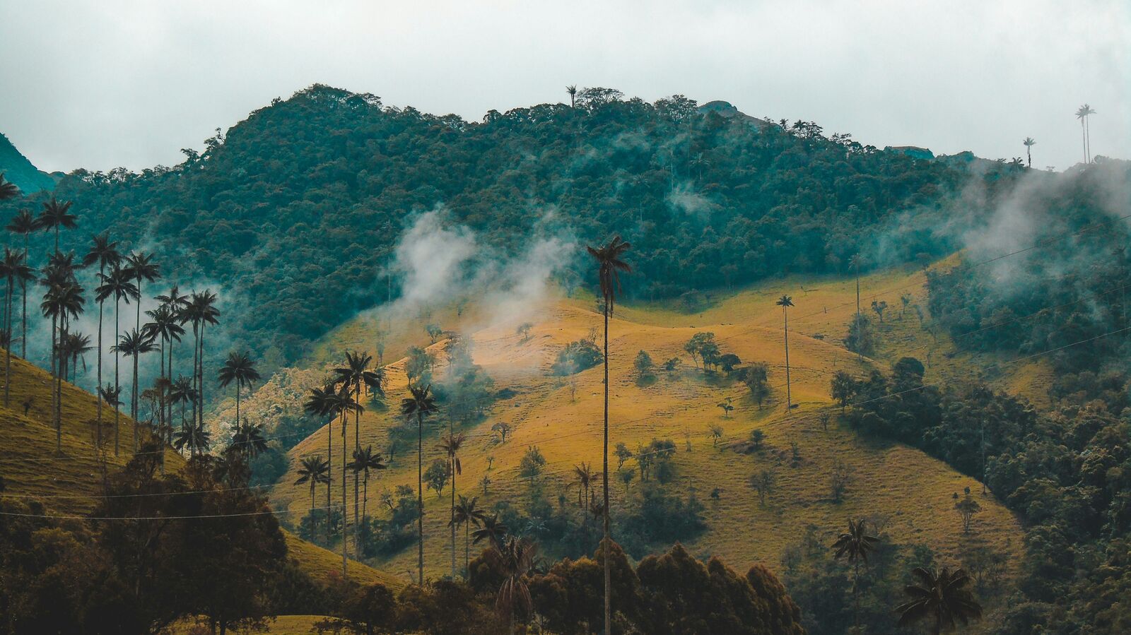
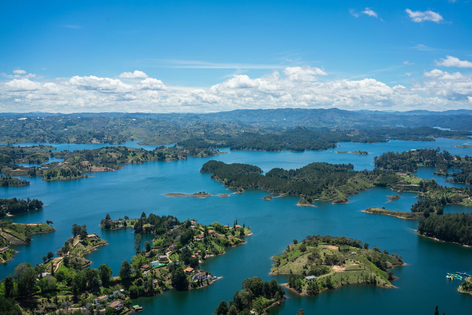
Scenic routes in Colombia
Mixed scenic routes
Colombian Coffee Region Scenic Drive
Green hills and coffee plantations.
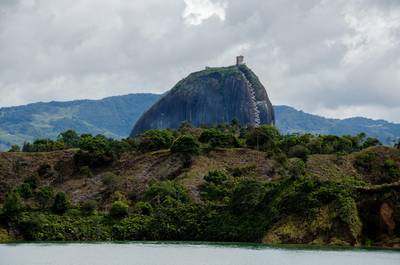
Colombia Medellín, Guatapé, Santa Fe de Antioquia & Jardín Epic Scenic Mountain & Coffee Region Drive Experience
Diverse Colombian road trip through Medellín, Guatapé rock, colonial towns and lush coffee-region mountains
Interesting facts about Colombia
- The split of the Andes into three distinct ranges requires drivers to cross multiple mountain passes to change regions.
- Early mountain roads followed pre-Columbian footpaths designed for foot travel rather than wheeled vehicles, creating steep grades.
- The Magdalena River valley acts as the central geographical corridor, dividing the main eastern and central driving routes.
Why take a road trip in Colombia?
Driving through Colombia is one of the best ways to experience its landscapes. Many of the most beautiful places are not accessible by public transport, which makes road trips the most flexible and rewarding way to explore.
The real value is not just in destinations, but in the journey itself — long empty roads, unexpected viewpoints, and small stops that don’t appear in guidebooks.
FAQ about scenic driving in Colombia
What is the best scenic drive in Colombia?
It depends on the region, but mountain and coastal routes are usually the most popular.
When is the best time to visit?
Spring to early autumn is generally the best season for road trips.
Are these routes beginner-friendly?
Many routes are easy to drive, but mountain roads may require more attention.