
Route Identity
Tioga Road Yosemite Alpine Scenic Drive
USA — Yosemite National Park
Overview Layer
Overview
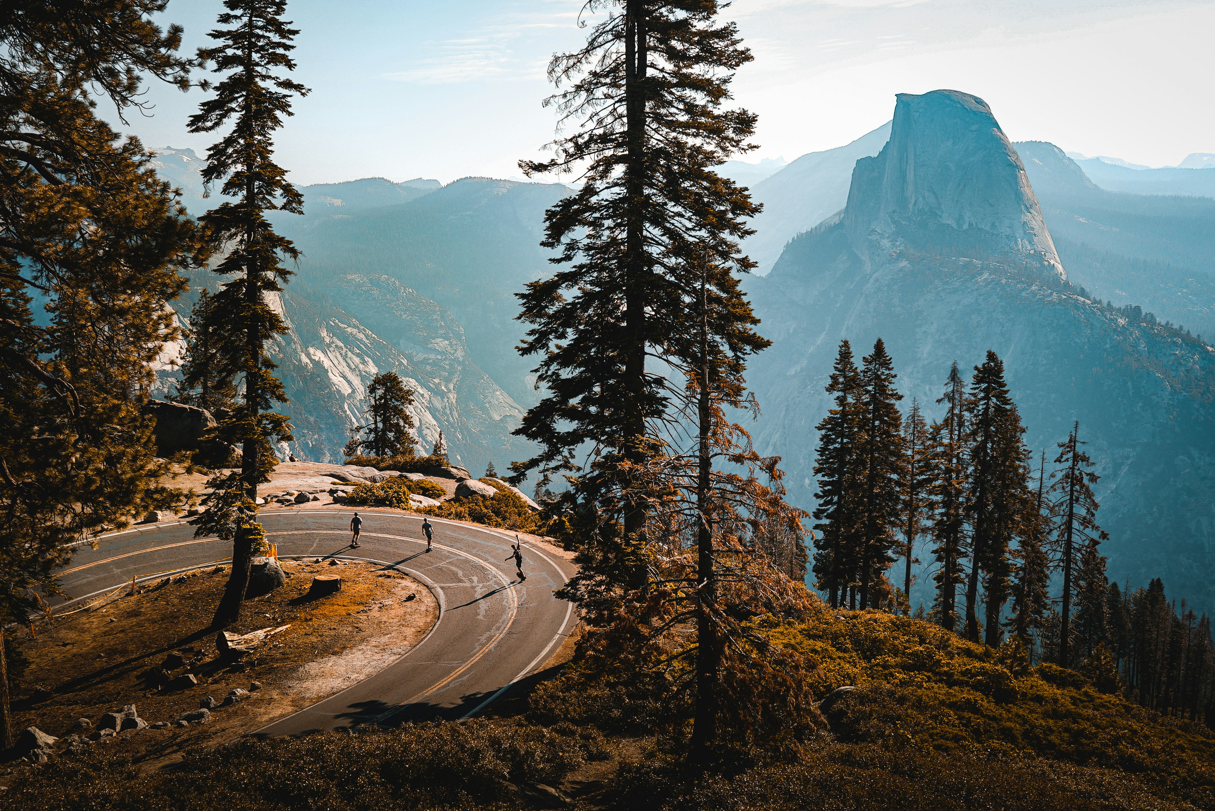
Tioga Road (Highway 120) is one of the best scenic drives in Yosemite National Park, crossing the Sierra Nevada through Yosemite's spectacular high country. The route connects Yosemite Valley with the park's eastern entrance and offers access to iconic viewpoints, alpine lakes, granite domes, meadows, and hiking trails. Driving Tioga Road is one of the most rewarding ways to experience Yosemite National Park beyond the valley, with breathtaking mountain scenery, Tuolumne Meadows, Olmsted Point, and some of the highest accessible areas in the park.
Weather
High alpine climate with long snowy winters, short summers, and strong temperature variation with elevation.
Seasonal Driving Conditions
Road is typically closed or partially closed due to snow accumulation at high elevation.
- snow-covered sections
- delayed road opening due to snowpack
Primary open season with full access across Tioga Pass and alpine zones.
- full accessibility
- stable road surface conditions
Cooling temperatures with increasing probability of early snowfall and road closure.
- early snow risk at high elevations
- reduced traffic before closure
Closed due to heavy snow accumulation at high elevation passes.
- complete road closure
- snow accumulation at high passes
Road conditions
High mountain paved road with steep grades and exposure to snow, ice, and rockfall during shoulder seasons.
Driving difficulty explained
Moderate difficulty due to high elevation and seasonal accessibility constraints.
Route Snapshot Layer
Route Snapshot
This is a scenic driving route in Yosemite National Park, USA.
The route features moderate driving conditions.
It is classified as Moderate and is best suited for general road trip travelers.
Points of Interest
Attractions along the route
- Upside-Down House — 19 m from route (94.1 km from start)
Scenic viewpoints
- View on Tenaya Lake — 25 m from route (46.6 km from start)
- Disappearing Meadows — 20 m from route (69.4 km from start)
- Tioga Lake Overlook — 26 m from route (75.2 km from start)
- Ellery Lake Lookout — 34 m from route (79.0 km from start)
- Mono Lake Tufa State Natural Reserve — 18 m from route (96.9 km from start)
Actual Driving Track (GPX-data)
Download GPXGPS Data Layer
Measured Driving Route
This route is analyzed directly from GPX track data. It features a total distance of 96.9 km, with an elevation gain of 2183 m.
Route Structure
| Type | Distance (km) | Elevation Gain (m) | Avg Gradient (%) |
|---|---|---|---|
| climb | 36.49 km | 1520 m | 3.9% |
| descent | 29.98 km | 126 m | -4.5% |
| flat | 30.45 km | 537 m | 0% |
About this route
The Tioga Road Yosemite Alpine Scenic Drive is one of the most scenic driving experiences in USA. Located in Yosemite National Park, this route offers a unique combination of landscapes, road conditions and natural highlights.
Stretching over 96.9 km, this drive takes approximately 2 hours.
This route is especially popular among travelers looking for road trips.
Travel Experience
We got an early start because everyone kept saying Tioga Road gets busier later in the day. The first thing I remember is how quickly the scenery changed from forest to wide open granite landscapes.
At one point we stopped near a lake just because there were already a few cars parked there. Nobody seemed to be in a hurry. People were sitting on rocks, eating snacks, or just looking across the water.
There was a long stretch where we kept pulling over more often than planned. Every few miles another viewpoint appeared, and eventually we stopped trying to decide which were the best viewpoints along the road and just enjoyed whatever came next.
Around midday we realized we had spent much longer driving this route than expected. Not because of traffic, but because every short stop turned into twenty minutes without us noticing.
By the end of the drive, Yosemite Valley felt very far away. The high country had a completely different atmosphere, and the route felt less like a road connecting places and more like its own Yosemite National Park experience.
Best time to visit
The best time to explore the Tioga Road Yosemite Alpine Scenic Drive is typically during spring and summer months, when weather conditions are stable and visibility is high. However, autumn offers fewer crowds and more dramatic scenery.
Travel tips
- Check official road opening dates
- Expect sudden weather changes at elevation
- Fuel and services are limited on high sections
Why visit
- Scenic landscapes unique to Yosemite National Park
- Popular road trip destination in USA
- Great for photography
- Varied terrain and driving conditions
Driving Interpretation Layer
What this route means
How long is this route?
The route is approximately 96.9 km long, with an elevation gain of 2183 m.
How difficult is the drive?
This route is classified as Moderate, with a maximum gradient of 5.5%.
What kind of terrain does it have?
This is a high alpine mountain route with significant elevation changes and exposed terrain.
What makes this route unique?
The route combines elevation variation (2183 m total gain) with changing landscapes shaped by natural geography and road conditions.
What type of driver is this route best suited for?
This route is best suited for experienced drivers comfortable with steep gradients, narrow mountain roads, and changing weather conditions.
Discovery Layer
More routes in USA
About USA →
Blue Ridge Parkway Scenic Mountain Drive
Scenic mountain drive through the Appalachian Highlands.

Pacific Coast Highway Coastal Scenic Drive
Iconic coastal drive along California's Pacific coastline.
Utah National Parks Scenic Loop Drive
Arches, canyons and desert landscapes.
Dalton Highway Arctic Wilderness Drive
One of the most remote roads in North America.
Going-to-the-Sun Road Glacier Scenic Drive
High mountain road crossing Glacier National Park.
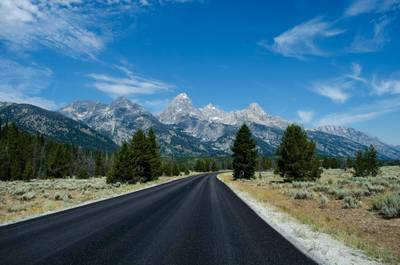
Beartooth Highway Alpine Scenic Drive
High alpine road with dramatic switchbacks.
More similar scenic routes
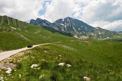
Durmitor National Park Scenic Loop Drive
Remote mountain loop through Durmitor National Park with high plateaus and dramatic peaks
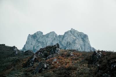
Picos de Europa Mountain Scenic Drive
Dramatic limestone peaks, deep gorges and mountain villages in northern Spain
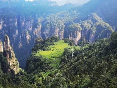
Zhangjiajie Scenic Mountain Road Drive
Winding mountain roads through the sandstone pillar landscapes of Zhangjiajie

Route des Grandes Alpes Alpine Scenic Road Trip
High alpine route crossing multiple mountain passes.

Icefields Parkway Rocky Mountain Scenic Drive
One of the most scenic drives in the Canadian Rockies.
Blue Ridge Parkway Scenic Mountain Drive
Scenic mountain drive through the Appalachian Highlands.