
Route Identity
Route des Grandes Alpes Alpine Scenic Road Trip
France — Alps
Overview Layer
Overview
Conquer the legendary Route des Grandes Alpes in France. This monumental high alpine road offers a challenging and deeply rewarding road trip experience across multiple French mountain passes and historic valleys.
Weather
Alpine mountain climate with strong elevation-dependent variation and seasonal snow cover.
Seasonal Driving Conditions
Snow remains on higher passes with partial accessibility.
- partial pass openings
- snow clearance operations
Full open season with all major alpine passes accessible.
- full route accessibility
- stable alpine driving conditions
Cooling temperatures with increased precipitation and early snow at altitude.
- early snowfall at elevation
- reduced pass accessibility risk
Many passes closed due to snow and ice conditions.
- pass closures
- snow-covered roads
Road conditions
High alpine road network with multiple mountain passes and elevation changes.
Driving difficulty explained
High difficulty due to elevation changes and multiple alpine passes.
Route Snapshot Layer
Route Snapshot
This is a scenic driving route in Alps, France.
The route features moderate driving conditions.
It is classified as Extreme and is best suited for general road trip travelers.
Points of Interest
Scenic viewpoints
- Vallon de Foron — 202 m from route (45.2 km from start)
- Col de l'Iseran — 9 m from route (205.5 km from start)
- Belvédère de la Pausa — 31 m from route (522.6 km from start)
Places to eat
- La Grange — 7 m from route (96.9 km from start)
- L'Arssiban — 18 m from route (163.1 km from start)
- Le Relais du Mercantour — 16 m from route (481.9 km from start)
Interesting stops
- Randonner en Maurienne Galibier — 8 m from route (282.4 km from start)
Actual Driving Track (GPX-data)
Download GPXGPS Data Layer
Measured Driving Route
This route is analyzed directly from GPX track data. It features a total distance of 580.0 km, with an elevation gain of 14308 m.
Route Structure
| Type | Distance (km) | Elevation Gain (m) | Avg Gradient (%) |
|---|---|---|---|
| flat | 160.19 km | 995 m | -0.4% |
| climb | 196.91 km | 13040 m | 6.9% |
| descent | 222.92 km | 272 m | -5.9% |
About this route
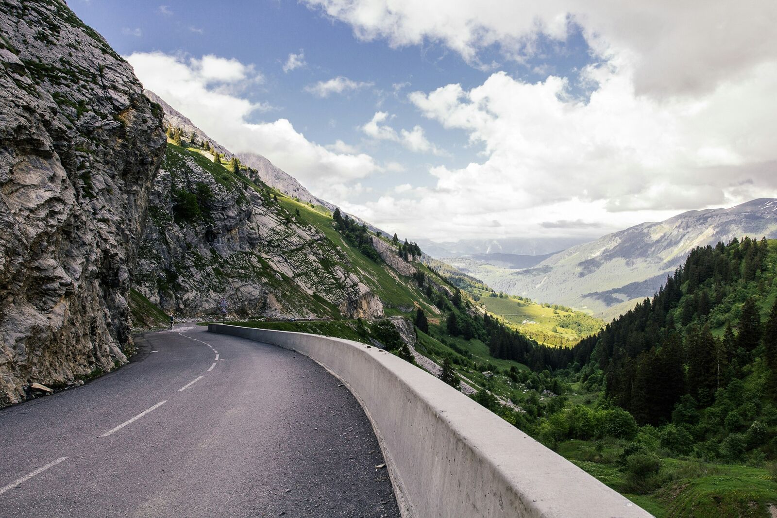
The Route des Grandes Alpes Alpine Scenic Road Trip is one of the most scenic driving experiences in France. Located in Alps, this route offers a unique combination of landscapes, road conditions and natural highlights.
Stretching over 580.0 km, this drive takes approximately 12 hours.
This route is especially popular among travelers looking for road trips.
Travel Experience
The climbs were absolutely relentless; the engine sounded strained the whole time, constantly battling the incline. Every turn felt like a serious athletic challenge, and the air was so thin up high. I kept thinking about how long the drive feels when you are continuously fighting gravity like this.
We finally crested one of the massive peaks, and the view just took us by surprise. The sheer scale of the mountains stretching out below was overwhelming. It really cemented itself as one of the best viewpoints along the road, and we just spent twenty minutes standing in the cold air.
For a long stretch, the road was just traversing through old little mountain towns. Nothing changed much visually—just houses clinging to the slopes, and the repetitive sight of fields. Honestly, it was a necessary break from the adrenaline, but the pacing was just slow.
By the end of the day, when we finally started the long descent, we were just running on fumes. My main focus was just braking and coordinating the stops, constantly checking the road conditions. It was a total haul, and I honestly wasn't sure how we were going to make it through the rest of the journey.
Best time to visit
The best time to explore the Route des Grandes Alpes Alpine Scenic Road Trip is typically during spring and summer months, when weather conditions are stable and visibility is high. However, autumn offers fewer crowds and more dramatic scenery.
Travel tips
- Check individual pass conditions
- Expect rapid weather changes in mountains
- Plan fuel stops in advance
Why visit
- Scenic landscapes unique to Alps
- Popular road trip destination in France
- Great for photography
- Varied terrain and driving conditions
Driving Interpretation Layer
What this route means
How long is this route?
The route is approximately 580.0 km long, with an elevation gain of 14308 m.
How difficult is the drive?
This route is classified as Extreme, with a maximum gradient of 13.5%.
What kind of terrain does it have?
This is a high alpine mountain route with significant elevation changes and exposed terrain.
What makes this route unique?
The route combines elevation variation (14308 m total gain) with changing landscapes shaped by natural geography and road conditions.
What type of driver is this route best suited for?
This route is best suited for experienced drivers comfortable with steep gradients, narrow mountain roads, and changing weather conditions.
Discovery Layer
More routes in France
About France →
Provence Lavender Scenic Drive
Lavender fields and charming French villages.
Corsica Mountain Scenic Loop Drive
Dramatic mountain roads across Corsica.
Alsace Wine Route Scenic Drive
Vineyards, half-timbered villages and rolling hills.
Verdon Gorge Canyon Scenic Drive
Dramatic canyon roads above turquoise waters.
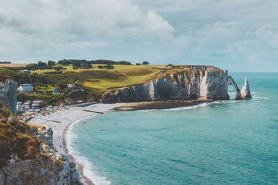
French Riviera Coastal Scenic Drive
Mediterranean coastline, beaches and seaside towns.
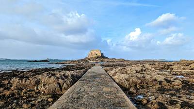
Mont Saint-Michel Brittany Coastal Drive
Historic coastline and iconic island abbey.
More similar scenic routes
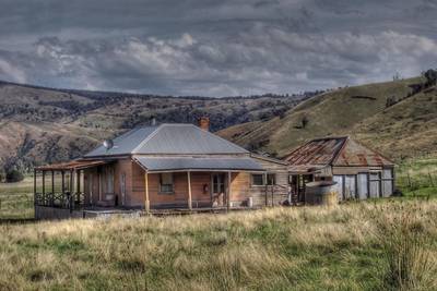
Great Alpine Scenic Mountain Drive
Mountain road crossing Australian Alps.
Corsica Mountain Scenic Loop Drive
Dramatic mountain roads across Corsica.
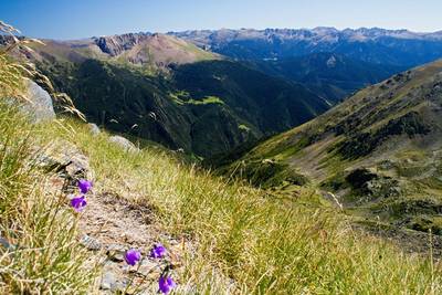
Pyrenees Alpine Scenic Drive
High mountain drive between Spain and France.
Tatra Mountains Scenic Drive
Alpine landscapes and mountain villages.
High Tatras Alpine Scenic Drive
Alpine peaks and mountain lakes.
Verdon Gorge Canyon Scenic Drive
Dramatic canyon roads above turquoise waters.