
Route Identity
Picos de Europa Mountain Scenic Drive
Spain — Picos de Europa
Overview Layer
Overview
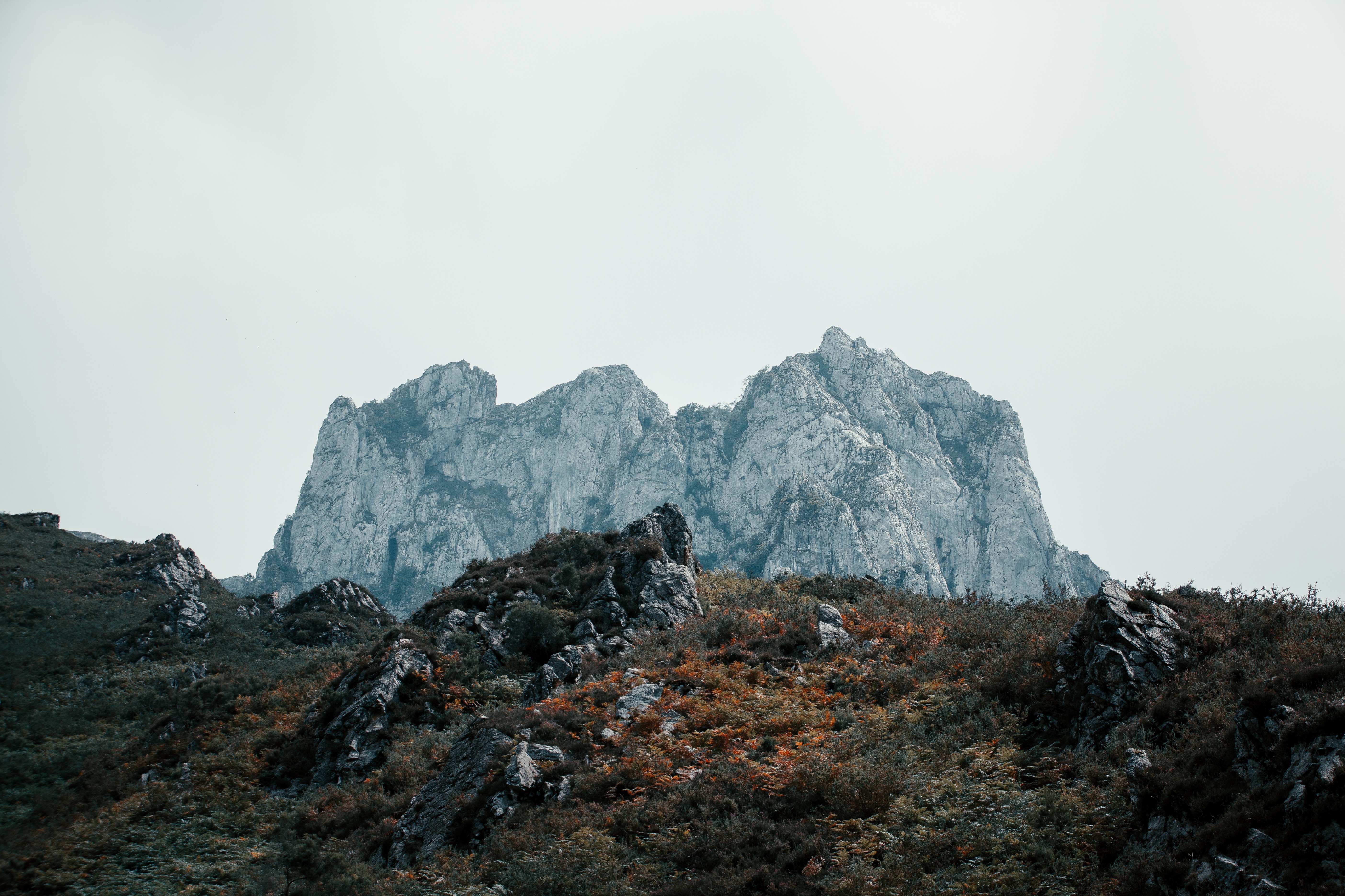
The Picos de Europa Drive is one of the most scenic mountain road trips in Spain, crossing the spectacular landscapes of Picos de Europa National Park. The route passes towering limestone peaks, narrow gorges, alpine meadows, and traditional villages tucked into the mountains. Often considered one of the best drives in northern Spain, it offers a mix of winding roads, dramatic elevation changes, and access to some of the country's most impressive natural scenery.
Weather
Atlantic-influenced mountain climate with high humidity, frequent precipitation, and significant winter snow in higher elevations.
Seasonal Driving Conditions
Mild conditions with frequent rainfall and snowmelt in higher elevations.
- snowmelt affects upper roads
- wet mountain surfaces
Warm but not extreme temperatures with generally stable mountain weather.
- most stable access conditions
- dry mountain roads
Increasing rainfall and fog in valleys with cooling mountain temperatures.
- frequent fog in valleys
- wet and slippery sections
Cold conditions with snow, ice, and possible road restrictions in high passes.
- snow-covered passes
- reduced accessibility in high areas
Road conditions
Narrow winding mountain roads with steep gradients, fog-prone valleys, and seasonal snow impact in high sections.
Driving difficulty explained
High difficulty due to steep terrain, fog, and seasonal snow in mountain passes.
Route Snapshot Layer
Route Snapshot
This is a scenic driving route in Picos de Europa, Spain.
The route features moderate driving conditions.
It is classified as Extreme and is best suited for general road trip travelers.
Points of Interest
Scenic viewpoints
- Mirador de Celis — 16 m from route (10.6 km from start)
- La palombera — 8 m from route (20.4 km from start)
- Asomaa de Jozarcu — 41 m from route (36.8 km from start)
- Mirador del Salmón — 4 m from route (149.8 km from start)
Attractions along the route
- Puerta del Perdón — 57 m from route (111.5 km from start)
- Vía ferrata Peñaruscos K6 — 72 m from route (148.7 km from start)
- Vía ferrata El Milar — 73 m from route (148.9 km from start)
Places to eat
- Dónde Xavi — 10 m from route (63.3 km from start)
Actual Driving Track (GPX-data)
Download GPXGPS Data Layer
Measured Driving Route
This route is analyzed directly from GPX track data. It features a total distance of 170.7 km, with an elevation gain of 3474 m.
Route Structure
| Type | Distance (km) | Elevation Gain (m) | Avg Gradient (%) |
|---|---|---|---|
| climb | 48.35 km | 2359 m | 4.7% |
| flat | 76.81 km | 1018 m | 0% |
| descent | 45.57 km | 97 m | -5.1% |
About this route
The Picos de Europa Mountain Scenic Drive is one of the most scenic driving experiences in Spain. Located in Picos de Europa, this route offers a unique combination of landscapes, road conditions and natural highlights.
Stretching over 170.7 km, this drive takes approximately 4 hours.
This route is especially popular among travelers looking for road trips.
Travel Experience
The mountains seemed much closer than we expected. In photos they looked distant and wide, but from the road it often felt like the cliffs were right beside us.
At one stop near a gorge there were a few cars parked randomly along the roadside. We got out for a quick look and ended up staying longer because the scale of the landscape was hard to judge from inside the car.
There were stretches where the road squeezed between rock walls and river valleys, and then suddenly opened into green meadows with cattle grazing nearby. The scenery changed faster than we expected.
We stopped in a small mountain village for food and spent more time walking around than actually eating. The streets were quiet enough that it felt strange to hear a car passing through.
By the end of the Picos de Europa Drive, I remembered the constant contrast between narrow gorges and wide mountain views. It never felt like one continuous landscape, more like a series of very different places connected by the same road.
Best time to visit
The best time to explore the Picos de Europa Mountain Scenic Drive is typically during spring and summer months, when weather conditions are stable and visibility is high. However, autumn offers fewer crowds and more dramatic scenery.
Travel tips
- Expect sudden fog in valley sections
- Check pass closures in winter
- Drive cautiously on narrow mountain roads
Why visit
- Scenic landscapes unique to Picos de Europa
- Popular road trip destination in Spain
- Great for photography
- Varied terrain and driving conditions
Driving Interpretation Layer
What this route means
How long is this route?
The route is approximately 170.7 km long, with an elevation gain of 3474 m.
How difficult is the drive?
This route is classified as Extreme, with a maximum gradient of 10.5%.
What kind of terrain does it have?
This route features hilly terrain with several steep driving sections.
What makes this route unique?
The route combines elevation variation (3474 m total gain) with changing landscapes shaped by natural geography and road conditions.
What type of driver is this route best suited for?
This route is best suited for experienced drivers comfortable with steep gradients, narrow mountain roads, and changing weather conditions.
Discovery Layer
More routes in Spain
About Spain →
More similar scenic routes
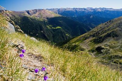
Pyrenees Alpine Scenic Drive
High mountain drive between Spain and France.
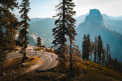
Tioga Road Yosemite Alpine Scenic Drive
Scenic alpine drive across Yosemite National Park with granite domes, lakes and high mountain vistas
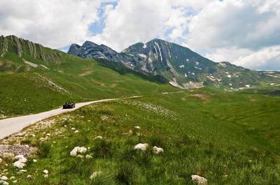
Durmitor National Park Scenic Loop Drive
Remote mountain loop through Durmitor National Park with high plateaus and dramatic peaks
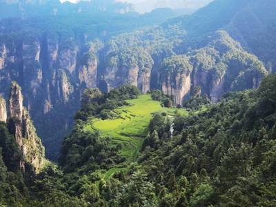
Zhangjiajie Scenic Mountain Road Drive
Winding mountain roads through the sandstone pillar landscapes of Zhangjiajie
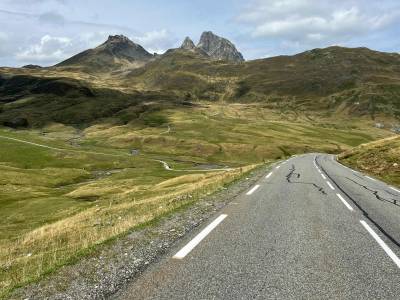
France–Spain Pyrenees Epic Cross-Border Alpine Scenic Drive Experience
Short but intense alpine drive crossing the Pyrenees between France and Spain through high mountain passes and valleys

Route des Grandes Alpes Alpine Scenic Road Trip
High alpine route crossing multiple mountain passes.