
Route Identity
Durmitor National Park Scenic Loop Drive
Montenegro — Durmitor
Overview Layer
Overview
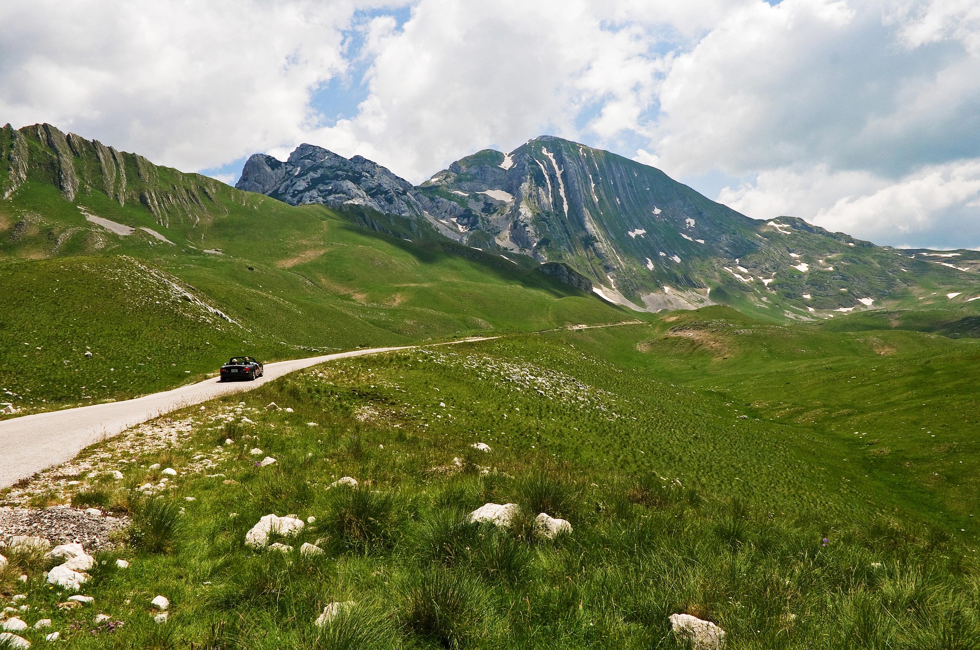
The Durmitor Ring Road is one of the most scenic drives in Montenegro, looping through the heart of Durmitor National Park. The route passes high mountain plateaus, deep valleys, traditional shepherd settlements, and some of the most dramatic landscapes in the Balkans. Compared with Montenegro’s coastal roads, the Durmitor Ring offers a quieter and more remote mountain driving experience.
Weather
Continental alpine climate with strong seasonal snow, cool summers, and harsh winter conditions at altitude.
Seasonal Driving Conditions
Late snowmelt period with variable mountain conditions and possible road restrictions.
- snowmelt runoff affecting road edges
- variable traction in shaded zones
Mild and stable alpine weather with fully accessible roads.
- stable dry driving conditions
- fully open mountain roads
Cooling temperatures with increasing precipitation and early frost risk.
- early snowfall risk at elevation
- cooling temperatures
Heavy snow conditions with limited or restricted access in mountain areas.
- snow-covered roads
- restricted access in high sections
Road conditions
Mountain ring road with steep curves, narrow passages, and seasonal snow and ice hazards.
Driving difficulty explained
High difficulty due to narrow alpine roads and steep gradients.
Route Snapshot Layer
Route Snapshot
This is a scenic driving route in Durmitor, Montenegro.
The route features moderate driving conditions.
It is classified as Hard and is best suited for general road trip travelers.
Points of Interest
Scenic viewpoints
- Каньон — 15 m from route (8.4 km from start)
- видиковац кањон Таре — 16 m from route (9.0 km from start)
- Nedajno (Ivovac) — 11 m from route (27.6 km from start)
Actual Driving Track (GPX-data)
Download GPXGPS Data Layer
Measured Driving Route
This route is analyzed directly from GPX track data. It features a total distance of 77.9 km, with an elevation gain of 2001 m.
Route Structure
| Type | Distance (km) | Elevation Gain (m) | Avg Gradient (%) |
|---|---|---|---|
| flat | 18.49 km | 358 m | -0.2% |
| climb | 29.67 km | 1559 m | 4.9% |
| descent | 29.77 km | 83 m | -4.9% |
About this route
The Durmitor National Park Scenic Loop Drive is one of the most scenic driving experiences in Montenegro. Located in Durmitor, this route offers a unique combination of landscapes, road conditions and natural highlights.
Stretching over 77.9 km, this drive takes approximately 2 hours.
This route is especially popular among travelers looking for road trips.
Travel Experience
The first thing that surprised us was how quickly the towns disappeared. Within a short time it felt like we were driving through open mountain country with very little around except road and grassland.
At one point we stopped because a herd of sheep was moving across the road and nobody was getting through for a few minutes anyway. It ended up being one of the more memorable pauses of the day.
There were long sections where the road crossed high plateaus and the landscape felt much bigger than the actual distance we were covering. We kept thinking we were close to the next turn, but everything looked farther away than it was.
We passed a few small settlements that seemed almost disconnected from the rest of the world. Some had only a handful of buildings, and it was hard to tell whether people lived there year-round.
By the end of the Durmitor Ring Road, I remembered the feeling of space more than any specific viewpoint. The mountains were impressive, but it was the emptiness between them that stayed with me afterward.
Best time to visit
The best time to explore the Durmitor National Park Scenic Loop Drive is typically during spring and summer months, when weather conditions are stable and visibility is high. However, autumn offers fewer crowds and more dramatic scenery.
Travel tips
- Check snow conditions before mountain entry
- Use caution on narrow cliffside sections
- Fuel availability is limited in remote areas
Why visit
- Scenic landscapes unique to Durmitor
- Popular road trip destination in Montenegro
- Great for photography
- Varied terrain and driving conditions
Driving Interpretation Layer
What this route means
How long is this route?
The route is approximately 77.9 km long, with an elevation gain of 2001 m.
How difficult is the drive?
This route is classified as Hard, with a maximum gradient of 9.9%.
What kind of terrain does it have?
This route features hilly terrain with several steep driving sections.
What makes this route unique?
The route combines elevation variation (2001 m total gain) with changing landscapes shaped by natural geography and road conditions.
What type of driver is this route best suited for?
This route is suitable for confident drivers who are comfortable with occasional steep sections and mountain terrain.
Discovery Layer
More routes in Montenegro
About Montenegro →More similar scenic routes
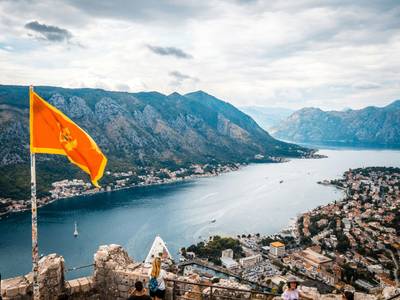
Kotor Bay Fjord Scenic Drive
Winding road around stunning fjord-like bay.
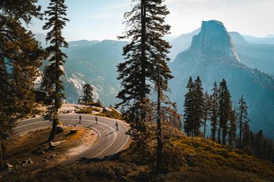
Tioga Road Yosemite Alpine Scenic Drive
Scenic alpine drive across Yosemite National Park with granite domes, lakes and high mountain vistas
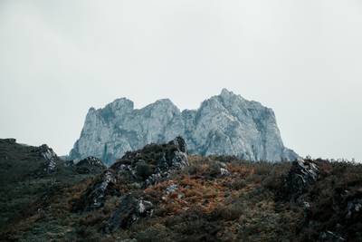
Picos de Europa Mountain Scenic Drive
Dramatic limestone peaks, deep gorges and mountain villages in northern Spain
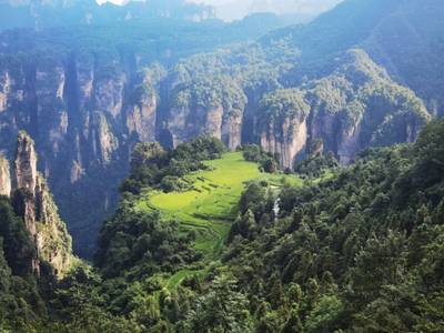
Zhangjiajie Scenic Mountain Road Drive
Winding mountain roads through the sandstone pillar landscapes of Zhangjiajie

Route des Grandes Alpes Alpine Scenic Road Trip
High alpine route crossing multiple mountain passes.

Icefields Parkway Rocky Mountain Scenic Drive
One of the most scenic drives in the Canadian Rockies.