
Route Identity
Westfjords Remote Scenic Drive
Iceland — Westfjords
Overview Layer
Overview
Explore the breathtaking Westfjords Route in Iceland. This challenging and remote scenic drive takes you along dramatic fjords, sheer cliffs, and incredible nature, offering a wild and isolated Icelandic road trip experience.
Weather
Subarctic maritime climate with strong winds, long winters, short cool summers, and highly variable coastal weather.
Seasonal Driving Conditions
Cold conditions with lingering snow and gradually improving road access in coastal areas.
- snowmelt affects gravel road stability
- wet and muddy rural sections
Cool Arctic maritime summer with best accessibility and stable road conditions.
- fully accessible routes
- stable but cool driving conditions
Rapid cooling with strong winds and increasing precipitation.
- high wind exposure
- rapid weather changes in fjords
Severe cold, snow, ice, and frequent road closures in remote sections.
- frequent road closures
- snow and ice on coastal roads
Road conditions
Remote gravel and paved roads with steep coastal cliffs, tunnels, and seasonal accessibility limits.
Driving difficulty explained
High difficulty due to remoteness, weather volatility, and road closures in winter.
Route Snapshot Layer
Route Snapshot
This is a scenic driving route in Westfjords, Iceland.
The route features moderate driving conditions.
It is classified as Extreme and is best suited for general road trip travelers.
Points of Interest
Scenic viewpoints
- Skarfasker — 38 m from route (5.6 km from start)
- Bolafjall — 49 m from route (23.1 km from start)
- Selaskoðun — 35 m from route (117.6 km from start)
Actual Driving Track (GPX-data)
Download GPXGPS Data Layer
Measured Driving Route
This route is analyzed directly from GPX track data. It features a total distance of 647.4 km, with an elevation gain of 13613 m.
Route Structure
| Type | Distance (km) | Elevation Gain (m) | Avg Gradient (%) |
|---|---|---|---|
| flat | 460.69 km | 6616 m | 0.1% |
| climb | 93.47 km | 6437 m | 6.1% |
| descent | 93.23 km | 561 m | -6.3% |
About this route
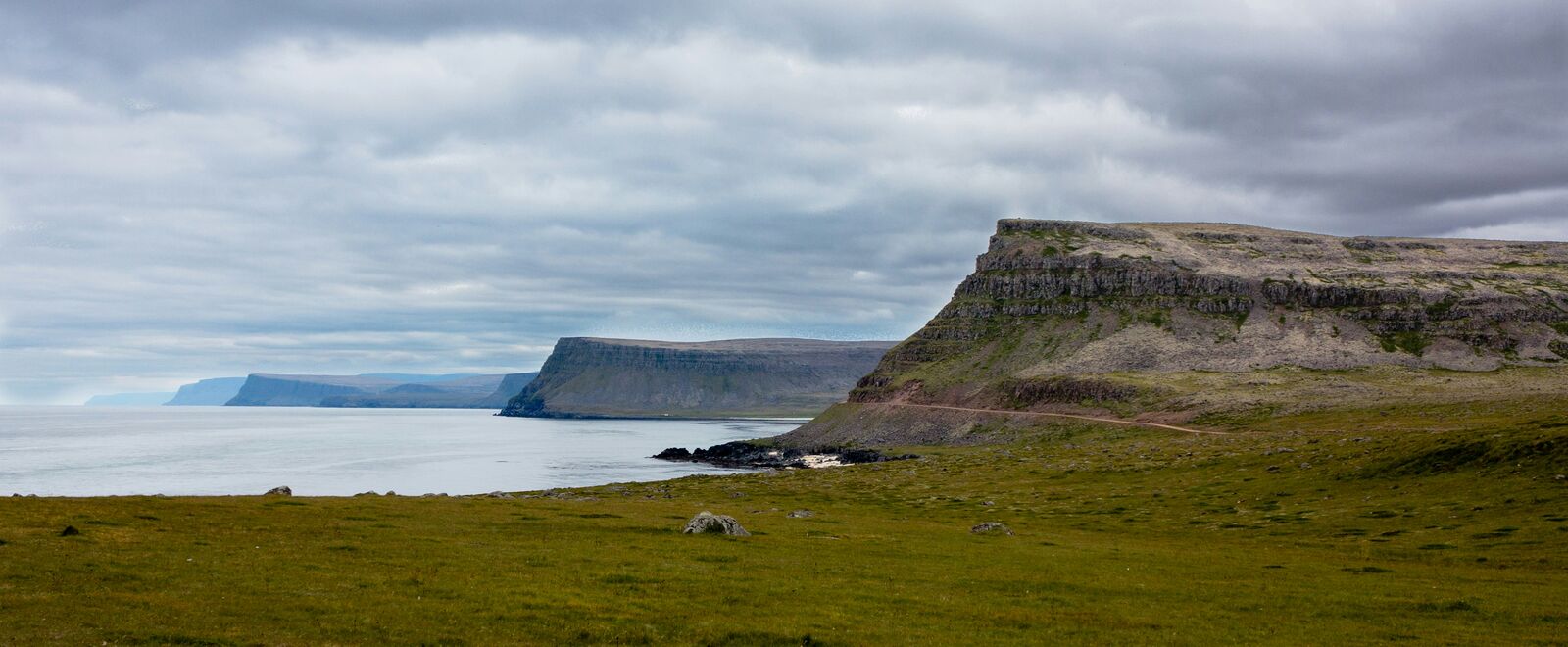
The Westfjords Remote Scenic Drive is one of the most scenic driving experiences in Iceland. Located in Westfjords, this route offers a unique combination of landscapes, road conditions and natural highlights.
Stretching over 647.4 km, this drive takes approximately 13 hours.
This route is especially popular among travelers looking for road trips.
Travel Experience
We underestimated how long it would take just to get out of the first stretch. The road kept following the coastline in a way that made it feel like we were barely making progress, even though we were definitely moving.
At one point we stopped near a cliff because a couple of other cars were already there. Nobody really said much, just looked out and then got back in because the wind was strong and kind of sharp on the face.
There were long sections where we didn’t see another car for a while. It felt a bit strange at first, then just normal. We mostly just kept driving and occasionally checked the fuel gauge more than anything else.
We had a quick stop in a small settlement that didn’t feel like a proper town, more like a cluster of buildings where people happen to live. The shop had limited stuff, but it was enough to grab something warm and sit for a bit.
I remember by the end of the day we stopped trying to judge what counted as a “best viewpoints along the road” moment. Everything already looked like a viewpoint, or nothing did, depending on the weather and how tired we were.
Best time to visit
The best time to explore the Westfjords Remote Scenic Drive is typically during spring and summer months, when weather conditions are stable and visibility is high. However, autumn offers fewer crowds and more dramatic scenery.
Travel tips
- Check road.is updates before travel
- Expect strong winds in fjord areas
- Carry emergency supplies in remote sections
Why visit
- Scenic landscapes unique to Westfjords
- Popular road trip destination in Iceland
- Great for photography
- Varied terrain and driving conditions
Driving Interpretation Layer
What this route means
How long is this route?
The route is approximately 647.4 km long, with an elevation gain of 13613 m.
How difficult is the drive?
This route is classified as Extreme, with a maximum gradient of 11.4%.
What kind of terrain does it have?
This route features hilly terrain with several steep driving sections.
What makes this route unique?
The route combines elevation variation (13613 m total gain) with changing landscapes shaped by natural geography and road conditions.
What type of driver is this route best suited for?
This route is best suited for experienced drivers comfortable with steep gradients, narrow mountain roads, and changing weather conditions.
Discovery Layer
More routes in Iceland
About Iceland →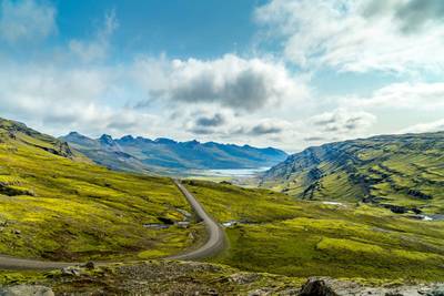
Iceland Ring Road Scenic Highway Drive
Complete loop around Iceland with glaciers and volcano landscapes
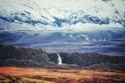
Iceland Golden Circle & Landmannalaugar Ultimate Scenic Highlands Route
Epic Iceland road trip combining Golden Circle highlights with the volcanic highlands of Landmannalaugar
More similar scenic routes
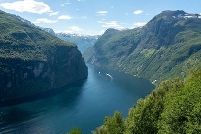
Norwegian Fjords Scenic Drive
Epic fjord landscapes with cliffs and waterfalls.
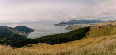
South Island Scenic Scenic Road Trip
Epic road through fjords, mountains and lakes.
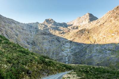
Milford Road Alpine Scenic Drive
Road to Milford Sound with dramatic alpine scenery.
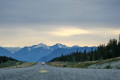
Dalton Highway Arctic Wilderness Drive
One of the most remote roads in North America.
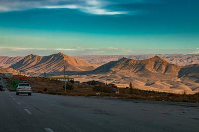
Isfahan – Shiraz Zagros Mountain Scenic Highway Drive
Remote mountain roads and valleys.
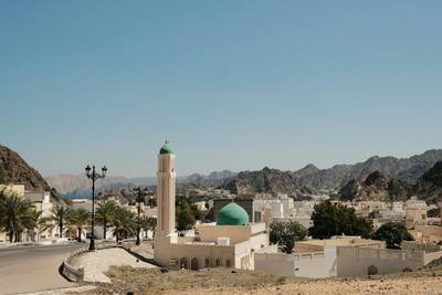
Musandam Fjords Scenic Coastal Drive
Fjords of Arabia with dramatic cliffs.