
Route Identity
Milford Road Alpine Scenic Drive
New Zealand — Fiordland
Overview Layer
Overview
Journey along the breathtaking Milford Road in New Zealand's Fiordland. This spectacular, challenging scenic drive offers dramatic alpine views, deep fjords, and incredible mountain scenery in the heart of the South Island.
Weather
High alpine fjord climate with extreme rainfall variability, frequent weather changes, and winter snow closures.
Seasonal Driving Conditions
High rainfall with snowmelt in alpine areas and variable road conditions.
- snowmelt runoff increases river flow
- wet road surfaces
Best accessibility with mild temperatures and relatively stable alpine weather.
- stable access conditions
- clear fjord visibility windows
Cooling temperatures with increased rainfall and fog in fjord valleys.
- frequent rain and fog
- slippery road conditions
Snow, ice, and avalanche risk leading to possible road closures.
- road closures due to snow
- avalanche risk zones
Road conditions
Mountain road through fjords with tunnels, steep sections, and high rainfall exposure.
Driving difficulty explained
High difficulty due to extreme rainfall, avalanche risk, and seasonal closures.
Route Snapshot Layer
Route Snapshot
This is a scenic driving route in Fiordland, New Zealand.
The route features moderate driving conditions.
It is classified as Hard and is best suited for general road trip travelers.
Points of Interest
Scenic viewpoints
- Milford Sound — 92 m from route (0.8 km from start)
- Tūtoko River Lookout — 60 m from route (4.1 km from start)
- Monkey Creek — 34 m from route (24.4 km from start)
- Hollyford Valley Lookout — 20 m from route (32.1 km from start)
- Te Anau Downs — 29 m from route (90.3 km from start)
Actual Driving Track (GPX-data)
Download GPXGPS Data Layer
Measured Driving Route
This route is analyzed directly from GPX track data. It features a total distance of 121.7 km, with an elevation gain of 1612 m.
Route Structure
| Type | Distance (km) | Elevation Gain (m) | Avg Gradient (%) |
|---|---|---|---|
| flat | 87.4 km | 549 m | -0.2% |
| climb | 17.07 km | 1043 m | 6.1% |
| descent | 17.23 km | 20 m | -4% |
About this route
The Milford Road Alpine Scenic Drive is one of the most scenic driving experiences in New Zealand. Located in Fiordland, this route offers a unique combination of landscapes, road conditions and natural highlights.
Stretching over 121.7 km, this drive takes approximately 3 hours.
This route is especially popular among travelers looking for road trips.
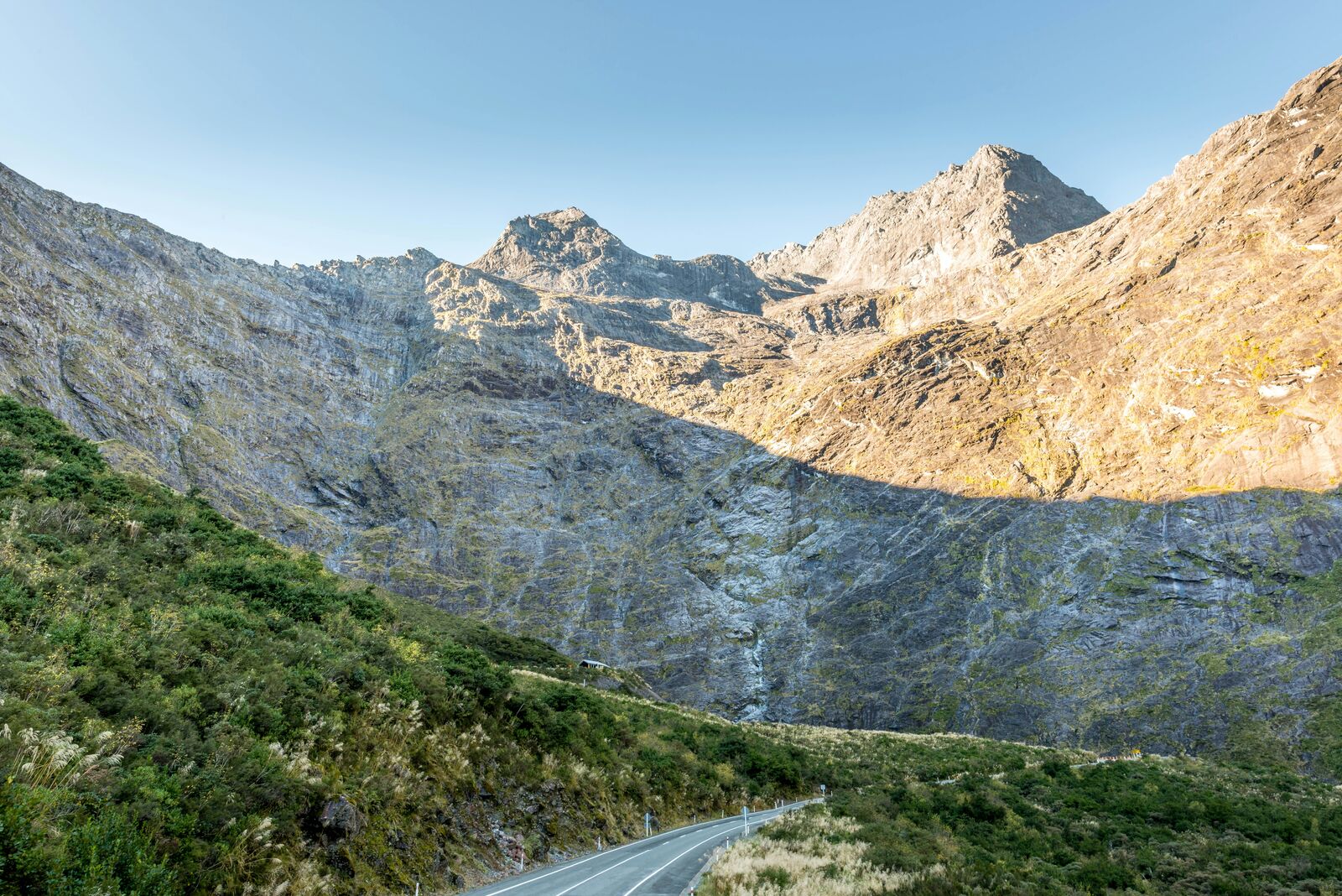
Travel Experience
We didn’t really stop much at first because the road felt tighter than expected and I was just focusing on staying in lane. Someone in the car mentioned “how long the drive feels” and I remember thinking it was only two hours on paper, but it didn’t feel like that while driving.
There was one pull-off where a few cars were already parked and people were just standing around looking into the valley. We got out for maybe five minutes, took a couple of photos, then got back in because it was colder than we thought. Nothing dramatic, just one of those quick stops that doesn’t fully register later.
Halfway through, we started pointing out places that looked like they should be the best viewpoints along the road, but we weren’t always sure which ones were official or just random wide spots. At some point the conversation shifted to snacks and we stopped paying attention to the scenery for a bit.
I think what stayed with me most from driving this route was how quickly everything changed between tunnels, cliffs, and open sections. The road to Milford Sound feels short on a map, but the scenic drive experience in Fiordland made it feel more mentally tiring than expected, even though nothing really “happened” most of the time.
Best time to visit
The best time to explore the Milford Road Alpine Scenic Drive is typically during spring and summer months, when weather conditions are stable and visibility is high. However, autumn offers fewer crowds and more dramatic scenery.
Travel tips
- Check avalanche and road status daily
- Expect sudden weather changes
- Carry fuel and emergency supplies
Why visit
- Scenic landscapes unique to Fiordland
- Popular road trip destination in New Zealand
- Great for photography
- Varied terrain and driving conditions
Driving Interpretation Layer
What this route means
How long is this route?
The route is approximately 121.7 km long, with an elevation gain of 1612 m.
How difficult is the drive?
This route is classified as Hard, with a maximum gradient of 10.1%.
What kind of terrain does it have?
This route features hilly terrain with several steep driving sections.
What makes this route unique?
The route combines elevation variation (1612 m total gain) with changing landscapes shaped by natural geography and road conditions.
What type of driver is this route best suited for?
This route is best suited for experienced drivers comfortable with steep gradients, narrow mountain roads, and changing weather conditions.
Discovery Layer
More routes in New Zealand
About New Zealand →
South Island Scenic Scenic Road Trip
Epic road through fjords, mountains and lakes.
North Island Scenic Loop Drive
Volcanoes, beaches and geothermal landscapes.
New Zealand South Island West Coast Glacier & Rainforest Scenic Drive Experience
Compact coastal drive combining glaciers, rainforest valleys and dramatic West Coast scenery
More similar scenic routes
South Island Scenic Scenic Road Trip
Epic road through fjords, mountains and lakes.

Route des Grandes Alpes Alpine Scenic Road Trip
High alpine route crossing multiple mountain passes.

Icefields Parkway Rocky Mountain Scenic Drive
One of the most scenic drives in the Canadian Rockies.
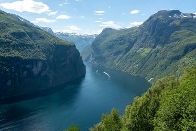
Norwegian Fjords Scenic Drive
Epic fjord landscapes with cliffs and waterfalls.

Blue Ridge Parkway Scenic Mountain Drive
Scenic mountain drive through the Appalachian Highlands.
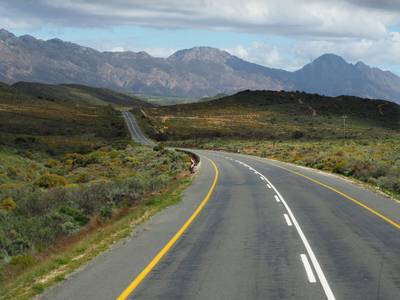
Drakensberg Sani Pass Scenic Scenic Mountain Drive (Sani Pass → Lesotho entry)
Mountain drive along dramatic escarpments.