
Route Identity
Iceland Ring Road Scenic Highway Drive
Iceland — South Coast
Overview Layer
Overview
Embark on the epic Iceland Ring Road, a true loop adventure across a land of volcanoes, glaciers, and dramatic coastlines. This epic road trip provides a unique look at the sheer wildness of the Icelandic landscape.
Weather
Subpolar maritime climate with strong winds, frequent precipitation, and extreme seasonal daylight variation.
Seasonal Driving Conditions
Cold conditions with melting snow, strong winds, and wet coastal roads.
- snowmelt runoff on roads
- strong coastal wind exposure
Mild Arctic conditions with long daylight and most stable road accessibility.
- stable road accessibility
- extended daylight driving conditions
Increasing storms with high winds, rain, and rapidly changing weather.
- frequent storms
- wet and slippery asphalt
Snow, ice, limited daylight, and possible road closures in exposed areas.
- icy roads
- reduced visibility and closures in storms
Road conditions
Long coastal loop with paved roads, exposed sections, and frequent wind impact across open terrain.
Driving difficulty explained
High difficulty due to wind exposure, winter ice, and rapidly changing weather.
Route Snapshot Layer
Route Snapshot
This is a scenic driving route in South Coast, Iceland.
The route features moderate driving conditions.
It is classified as Easy and is best suited for general road trip travelers.
Points of Interest
Scenic viewpoints
- Kerið — 49 m from route (0.3 km from start)
- Faxafoss/Vatnsleysufoss — 6 m from route (54.9 km from start)
- Gullfoss Viewing Platform — 3 m from route (78.8 km from start)
- Gullfoss — 9 m from route (79.1 km from start)
Attractions along the route
- Kerið — 81 m from route (0.1 km from start)
- Strokkur — 20 m from route (67.2 km from start)
- Hlauptungufoss — 10 m from route (106.1 km from start)
- Brúarfoss — 20 m from route (107.7 km from start)
- Midfoss — 14 m from route (108.6 km from start)
Actual Driving Track (GPX-data)
Download GPXGPS Data Layer
Measured Driving Route
This route is analyzed directly from GPX track data. It features a total distance of 168.5 km, with an elevation gain of 987 m.
Route Structure
| Type | Distance (km) | Elevation Gain (m) | Avg Gradient (%) |
|---|---|---|---|
| climb | 2.68 km | 81 m | 2.8% |
| flat | 161.9 km | 903 m | 0% |
| descent | 3.87 km | 3 m | -2% |
About this route
The Iceland Ring Road Scenic Highway Drive is one of the most scenic driving experiences in Iceland. Located in South Coast, this route offers a unique combination of landscapes, road conditions and natural highlights.
Stretching over 168.5 km, this drive takes approximately 4 hours.
This route is especially popular among travelers looking for road trips.
Travel Experience
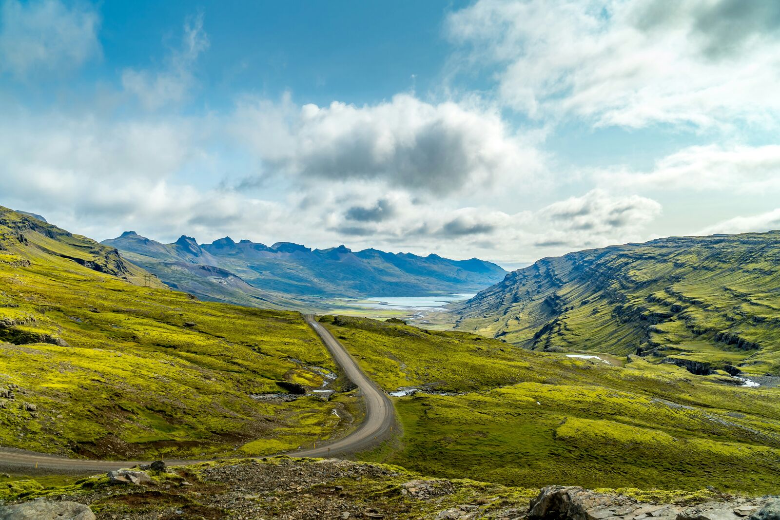
We just kept driving for hours, the landscape changing constantly from black volcanic ash to mossy green. There were so many waterfalls we saw, which was amazing, but honestly, we were pretty exhausted by the end of the day. I kept thinking how long the drive feels when you are constantly looking at geological wonders.
We finally stopped at a turnout just off the road—it wasn't even marked—and the smell of the sea and sulfur was really strong. We just sat there for a bit, letting the wind hit us until we felt less numb. We were lucky to stumble onto one of the best viewpoints along the road.
There was a huge section where the road was just following the edge of a glacier, and the silence was almost unnerving. It was hard to focus on the actual driving because of how dramatic the scenery was. I wasn't sure how the locals dealt with this constant visual intensity.
Midday, the weather turned miserable; we were driving in this patchy rain, and the sky was a mix of grey and impossible blue. We were running a bit late, so we kept going instead of finding another stop, which made the drive feel a little rushed. We just needed to get to the next town.
Best time to visit
The best time to explore the Iceland Ring Road Scenic Highway Drive is typically during spring and summer months, when weather conditions are stable and visibility is high. However, autumn offers fewer crowds and more dramatic scenery.
Travel tips
- Monitor wind alerts before coastal segments
- Expect sudden weather shifts year-round
- Refuel regularly due to long remote distances
Why visit
- Scenic landscapes unique to South Coast
- Popular road trip destination in Iceland
- Great for photography
- Varied terrain and driving conditions
Driving Interpretation Layer
What this route means
How long is this route?
The route is approximately 168.5 km long, with an elevation gain of 987 m.
How difficult is the drive?
This route is classified as Easy, with a maximum gradient of 2.8%.
What kind of terrain does it have?
This is a relatively mild scenic route with steady and predictable driving conditions.
What makes this route unique?
The route combines elevation variation (987 m total gain) with changing landscapes shaped by natural geography and road conditions.
What type of driver is this route best suited for?
This route is suitable for most drivers, including casual travelers looking for a scenic and relaxed drive.
Discovery Layer
More routes in Iceland
About Iceland →
More similar scenic routes
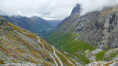
Trollstigen Mountain Pass Scenic Drive
Famous mountain road with steep hairpin bends and waterfalls
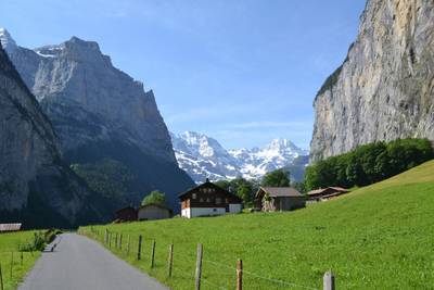
Jungfrau Region Alpine Scenic Drive
Glaciers, peaks and alpine valleys.
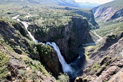
Hardanger Scenic Route
Fjord-side drive with waterfalls, orchards and dramatic Norwegian mountain scenery