
Route Identity
Iceland Golden Circle & Landmannalaugar Ultimate Scenic Highlands Route
Iceland — South & Highlands
Overview Layer
Overview
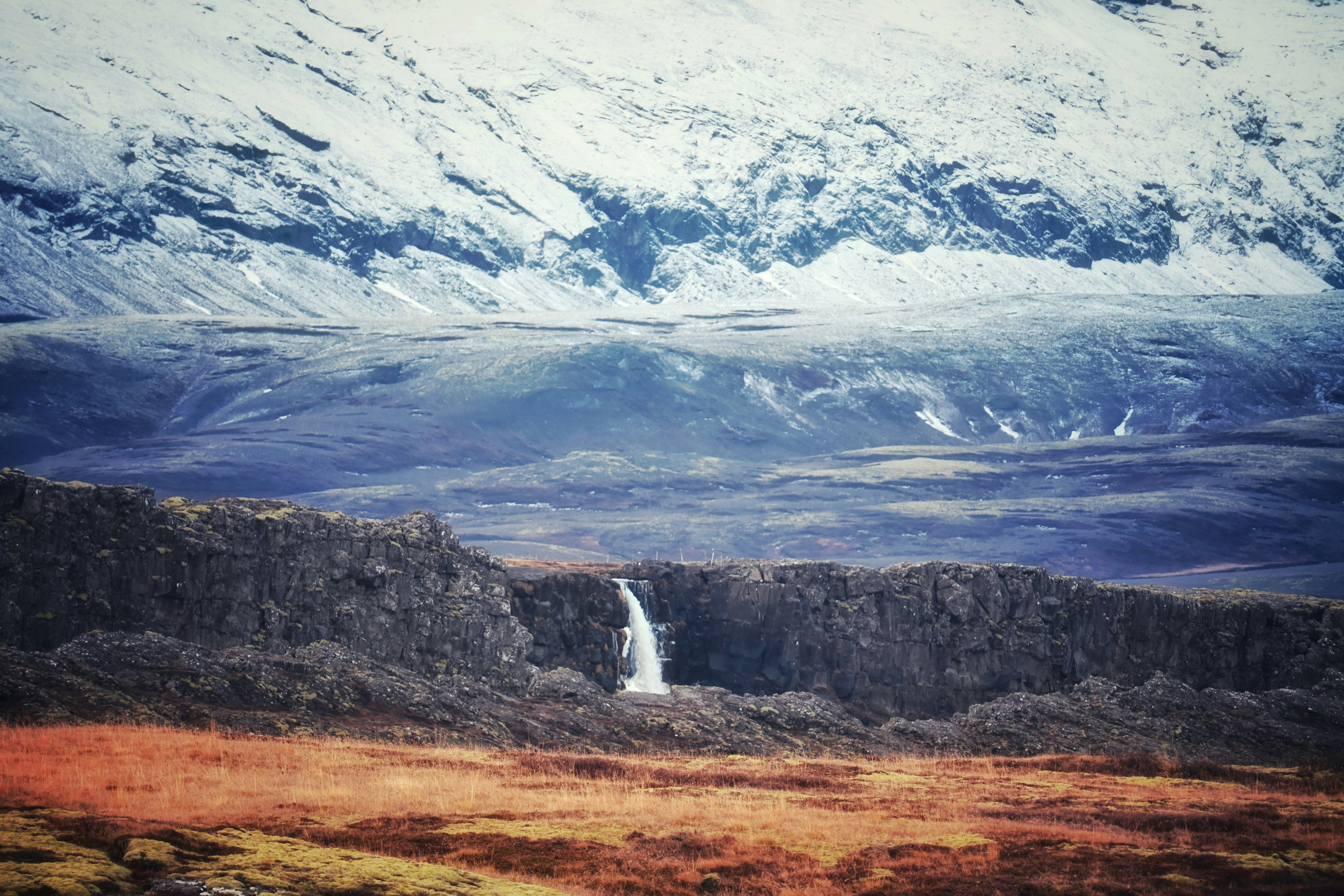
This Iceland road trip combines the famous Golden Circle with the remote volcanic highlands of Landmannalaugar, creating one of the most diverse scenic drives in the country. The route passes geysers, waterfalls, tectonic rift valleys, lava fields, and colorful rhyolite mountains. It blends Iceland’s most accessible highlights with deep highland terrain that requires careful planning and often 4x4 access.
Weather
Subpolar oceanic and highland climate with strong seasonal variability, frequent wind, and precipitation changes.
Seasonal Driving Conditions
Cold conditions with snowmelt affecting highland accessibility.
- partial road melt and thaw conditions
- limited highland access
Open highland season with accessible roads and mild temperatures.
- full highland access period
- stable F-road conditions
Rapid cooling with increasing precipitation and early road closures in highlands.
- early closure of mountain roads
- increasing precipitation
Severe weather conditions with limited access to highland routes.
- road closures in highlands
- limited accessibility outside main routes
Road conditions
Paved roads in lowlands and F-roads in highlands requiring seasonal access due to river crossings and snow.
Driving difficulty explained
Moderate to high difficulty due to F-roads, river crossings, and rapid weather changes.
Route Snapshot Layer
Route Snapshot
This is a scenic driving route in South & Highlands, Iceland.
The route features moderate driving conditions.
It is classified as Extreme and is best suited for general road trip travelers.
Points of Interest
Attractions along the route
- Landmannalaugar — 18 m from route (1114.3 km from start)
Scenic viewpoints
- Þingvellir — 34 m from route (99.3 km from start)
- Gullfoss — 48 m from route (173.4 km from start)
- Skógafoss Viewpoint — 5 m from route (407.3 km from start)
- Svartifoss — 15 m from route (592.2 km from start)
Actual Driving Track (GPX-data)
Download GPXGPS Data Layer
Measured Driving Route
This route is analyzed directly from GPX track data. It features a total distance of 1385.0 km, with an elevation gain of 5312 m.
Route Structure
| Type | Distance (km) | Elevation Gain (m) | Avg Gradient (%) |
|---|---|---|---|
| flat | 1323.59 km | 4048 m | 0% |
| descent | 26.66 km | 10 m | -3.6% |
| climb | 34.71 km | 1254 m | 3.4% |
About this route
The Iceland Golden Circle & Landmannalaugar Ultimate Scenic Highlands Route is one of the most scenic driving experiences in Iceland. Located in South & Highlands, this route offers a unique combination of landscapes, road conditions and natural highlights.
Stretching over 1385.0 km, this drive takes approximately 28 hours.
This route is especially popular among travelers looking for road trips.
Travel Experience
The journey starts easily, but the landscape changes faster than expected, especially once the route begins moving away from the main tourist loop.
At the Golden Circle stops there are plenty of visitors, but even there the scale of waterfalls and geysers still manages to feel overwhelming in person.
Once the route heads toward the highlands, the roads become rougher and the surroundings start to feel more isolated, with lava fields stretching in every direction.
Landmannalaugar itself feels like entering a different planet — colored mountains, steam rising from the ground, and almost no signs of permanent settlement.
By the end of the route, the contrast between accessible Iceland and the raw highlands is what stays in memory most — two completely different worlds connected by a single road journey.
Best time to visit
The best time to explore the Iceland Golden Circle & Landmannalaugar Ultimate Scenic Highlands Route is typically during spring and summer months, when weather conditions are stable and visibility is high. However, autumn offers fewer crowds and more dramatic scenery.
Travel tips
- Check F-road accessibility before travel
- Expect river crossings in highlands
- Monitor wind and weather warnings
Why visit
- Scenic landscapes unique to South & Highlands
- Popular road trip destination in Iceland
- Great for photography
- Varied terrain and driving conditions
Driving Interpretation Layer
What this route means
How long is this route?
The route is approximately 1385.0 km long, with an elevation gain of 5312 m.
How difficult is the drive?
This route is classified as Extreme, with a maximum gradient of 6.9%.
What kind of terrain does it have?
This is a relatively mild scenic route with steady and predictable driving conditions.
What makes this route unique?
The route combines elevation variation (5312 m total gain) with changing landscapes shaped by natural geography and road conditions.
What type of driver is this route best suited for?
This route is suitable for confident drivers who are comfortable with occasional steep sections and mountain terrain.
Discovery Layer
More routes in Iceland
About Iceland →
More similar scenic routes
Scottish Highlands Scenic Loop Drive
Misty mountains, lochs and dramatic scenery.
Westfjords Remote Scenic Drive
Remote Icelandic fjords and cliffs.
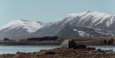
North Island Scenic Loop Drive
Volcanoes, beaches and geothermal landscapes.
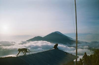
Bali Volcano Scenic Mountain Drive
Volcanoes, rice terraces and tropical roads.
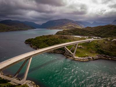
North Coast 500 (NC500)
Scotland’s famous coastal road trip through remote Highlands, beaches and mountain landscapes
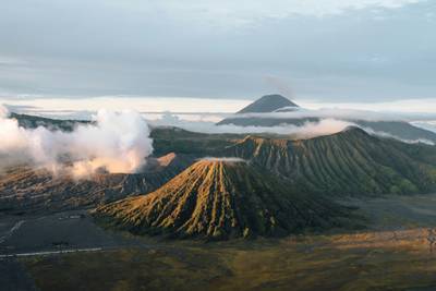
Java Volcano & Cultural Epic Road Trip – Jakarta to East Java Volcano Corridor Experience
Cross-island road trip through Java’s volcanoes, rice fields, ancient temples and dense cultural landscapes from Jakarta to East Java