
Route Identity
South Island Scenic Scenic Road Trip
New Zealand — South Island
Overview Layer
Overview
Experience the unforgettable South Island Scenic Route in New Zealand. This massive journey through fjords, majestic mountains, and pristine lakes offers a truly spectacular and varied New Zealand road trip adventure.
Weather
Maritime-alpine climate with strong rainfall on the west coast and rapidly changing mountain weather.
Seasonal Driving Conditions
Mild temperatures with frequent rain and variable alpine weather.
- snowmelt in alpine passes
- wet west coast roads
Warm and most stable conditions with best road access.
- best driving stability
- clear mountain passes
Cooling temperatures with increasing rainfall in alpine zones.
- increasing rainfall
- cooling alpine conditions
Cold alpine conditions with snow and possible road disruptions.
- snow in high passes
- possible closures
Road conditions
Long scenic highways crossing mountains and fjords with variable weather exposure.
Driving difficulty explained
Moderate to high difficulty due to alpine crossings and weather variability.
Route Snapshot Layer
Route Snapshot
This is a scenic driving route in South Island, New Zealand.
The route features moderate driving conditions.
It is classified as Extreme and is best suited for general road trip travelers.
Points of Interest
Scenic viewpoints
- Lake Wanaka Lookout — 32 m from route (981.4 km from start)
- The Zig Zag — 62 m from route (1060.6 km from start)
- Te Anau Downs — 33 m from route (1259.3 km from start)
- Tūtoko River Lookout — 77 m from route (1341.9 km from start)
- Monkey Creek — 101 m from route (1359.5 km from start)
Attractions along the route
- Volcanic boulders — 54 m from route (1898.9 km from start)
- Store and merchandise — 41 m from route (2156.3 km from start)
Places to eat
- Little Taipei — 25 m from route (345.5 km from start)
Actual Driving Track (GPX-data)
Download GPXGPS Data Layer
Measured Driving Route
This route is analyzed directly from GPX track data. It features a total distance of 2353.9 km, with an elevation gain of 10139 m.
Route Structure
| Type | Distance (km) | Elevation Gain (m) | Avg Gradient (%) |
|---|---|---|---|
| flat | 2141.32 km | 5917 m | 0% |
| climb | 104.55 km | 4222 m | 4.2% |
| descent | 108.03 km | 0 m | -4.3% |
About this route
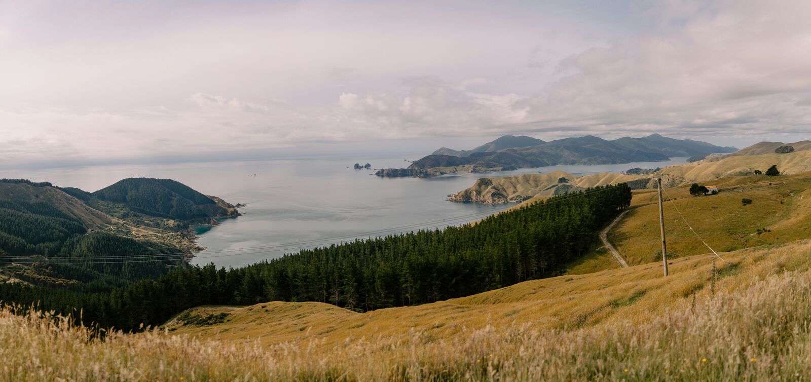
The South Island Scenic Scenic Road Trip is one of the most scenic driving experiences in New Zealand. Located in South Island, this route offers a unique combination of landscapes, road conditions and natural highlights.
Stretching over 2353.9 km, this drive takes approximately 48 hours.
This route is especially popular among travelers looking for road trips.
Travel Experience
One afternoon we stopped by a lake just because everyone needed a break from sitting in the car. We ended up staying longer than expected, mostly throwing stones into the water and doing absolutely nothing productive.
There were a few hours where the drive felt surprisingly ordinary. We passed farms, small towns, and long stretches without much to talk about. Someone fell asleep in the back seat and the rest of us just listened to music.
I remember pulling over at a viewpoint after seeing several cars already parked there. It was probably one of the best viewpoints along the road, but what stuck with me was watching people struggle to get a photo without someone else walking into the frame.
At one point during the road trip through New Zealand's South Island, we realized we'd underestimated how much time all the stops would add. The driving itself was fine, but every time we saw something interesting we'd end up spending another twenty minutes there.
Near the end of the trip I couldn't always remember what we'd seen on which day. Lakes, mountains, coastal sections, then more mountains. The places were memorable, but after that many hours on the road some of the details started blending together.
Best time to visit
The best time to explore the South Island Scenic Scenic Road Trip is typically during spring and summer months, when weather conditions are stable and visibility is high. However, autumn offers fewer crowds and more dramatic scenery.
Travel tips
- Check alpine pass closures in winter
- Expect rapid weather changes
- Plan extra time for long remote stretches
Why visit
- Scenic landscapes unique to South Island
- Popular road trip destination in New Zealand
- Great for photography
- Varied terrain and driving conditions
Driving Interpretation Layer
What this route means
How long is this route?
The route is approximately 2353.9 km long, with an elevation gain of 10139 m.
How difficult is the drive?
This route is classified as Extreme, with a maximum gradient of 9.6%.
What kind of terrain does it have?
This route features hilly terrain with several steep driving sections.
What makes this route unique?
The route combines elevation variation (10139 m total gain) with changing landscapes shaped by natural geography and road conditions.
What type of driver is this route best suited for?
This route is suitable for confident drivers who are comfortable with occasional steep sections and mountain terrain.
Discovery Layer
More routes in New Zealand
About New Zealand →
Milford Road Alpine Scenic Drive
Road to Milford Sound with dramatic alpine scenery.
North Island Scenic Loop Drive
Volcanoes, beaches and geothermal landscapes.
New Zealand South Island West Coast Glacier & Rainforest Scenic Drive Experience
Compact coastal drive combining glaciers, rainforest valleys and dramatic West Coast scenery
More similar scenic routes
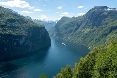
Norwegian Fjords Scenic Drive
Epic fjord landscapes with cliffs and waterfalls.
Milford Road Alpine Scenic Drive
Road to Milford Sound with dramatic alpine scenery.
North Island Scenic Loop Drive
Volcanoes, beaches and geothermal landscapes.
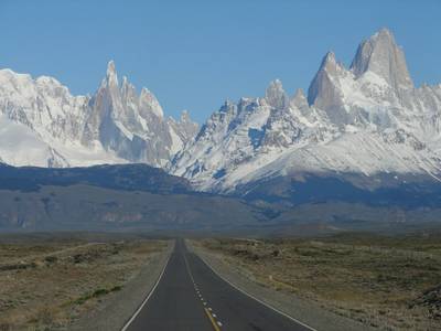
Patagonia Lakes Scenic Route Drive
Remote Patagonian road with lakes and glaciers.
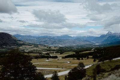
Carretera Austral Patagonian Scenic Highway
Remote Patagonian road through forests, fjords and glaciers.
Extended Garden Route Scenic Drive
Extended coastal drive with beaches and forests.