
Route Identity
Isfahan – Shiraz Zagros Mountain Scenic Highway Drive
Iran — Zagros
Overview Layer
Overview
Embark on the remote Zagros Mountain Drive in Iran. This challenging road trip journey through the high mountain passes and vast valleys offers an intense and rarely seen exploration of Iran’s rugged interior.
Weather
Semi-arid mountain climate with hot summers in valleys, cold snowy winters in highlands, and strong elevation-based variation.
Seasonal Driving Conditions
Mild temperatures with increasing rainfall and green highland conditions.
- moderate rainfall improves landscape conditions
- variable traction in upland areas
Hot and dry conditions in lowlands with cooler temperatures at higher elevations.
- dry and hot lowland roads
- stable high-altitude routes
Cooling temperatures with stable and dry driving conditions.
- clear and stable driving weather
- cooling temperatures improve grip
Cold conditions with snowfall and icy roads in mountain passes.
- snow-covered mountain passes
- icy road sections in high elevations
Road conditions
Mountain highways with steep gradients, winding passes, and seasonal snow and ice in higher regions.
Driving difficulty explained
High difficulty due to elevation changes, remote sections, and winter snow conditions.
Route Snapshot Layer
Route Snapshot
This is a scenic driving route in Zagros, Iran.
The route features moderate driving conditions.
It is classified as Extreme and is best suited for general road trip travelers.
Points of Interest
Places to eat
- رستوران جهان نما — 20 m from route (3.1 km from start)
- ساندویچی آیدا / (با مدیریت سامان تتار) — 20 m from route (111.9 km from start)
- کبابی قلواز — 9 m from route (183.2 km from start)
- رستوران هتل سلین — 10 m from route (184.6 km from start)
- چلوکباب یاس — 35 m from route (566.0 km from start)
Interesting stops
- قلعه شیخان — 0 m from route (59.2 km from start)
- پلوره — 0 m from route (67.7 km from start)
Actual Driving Track (GPX-data)
Download GPXGPS Data Layer
Measured Driving Route
This route is analyzed directly from GPX track data. It features a total distance of 567.7 km, with an elevation gain of 18061 m.
Route Structure
| Type | Distance (km) | Elevation Gain (m) | Avg Gradient (%) |
|---|---|---|---|
| climb | 139.71 km | 10486 m | 5.1% |
| flat | 281.75 km | 4368 m | 0% |
| descent | 146.2 km | 3207 m | -4.9% |
About this route
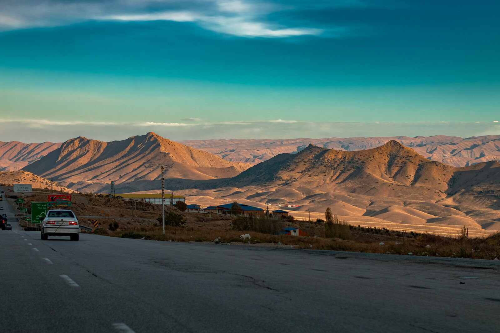
The Isfahan – Shiraz Zagros Mountain Scenic Highway Drive is one of the most scenic driving experiences in Iran. Located in Zagros, this route offers a unique combination of landscapes, road conditions and natural highlights.
Stretching over 567.7 km, this drive takes approximately 12 hours.
This route is especially popular among travelers looking for road trips.
Travel Experience
We left with a full tank and still stopped earlier than expected just to double-check directions because the roads started splitting in ways that didn’t feel fully obvious on the map. It wasn’t confusing, just less structured than we assumed.
At one point we pulled over near a wide valley because there was already a truck parked there. Nobody said much, we just got out, looked around, and got back in fairly quickly since there wasn’t really a “spot” to stay.
There were long sections where the road climbed steadily and we didn’t pass much except small settlements and occasional herds in the distance. We didn’t talk a lot during those parts, just let the drive continue and occasionally checked how far we still had to go through the Zagros Mountains.
We stopped for food in a roadside place that felt very local, almost like we were slightly off from any expected travel flow. It took a while, but that wasn’t unusual, so we just sat and waited without rushing anything.
By the end of the Zagros Mountain Drive, it didn’t feel like a set of highlights but more like continuous movement through remote terrain. The road trip through the Zagros Mountains was mostly just long climbs, quiet valleys, and moments where we briefly stopped to confirm we were still on the right path.
Best time to visit
The best time to explore the Isfahan – Shiraz Zagros Mountain Scenic Highway Drive is typically during spring and summer months, when weather conditions are stable and visibility is high. However, autumn offers fewer crowds and more dramatic scenery.
Travel tips
- Check mountain pass conditions before travel
- Carry supplies for remote sections
- Expect sharp temperature differences by elevation
Why visit
- Scenic landscapes unique to Zagros
- Popular road trip destination in Iran
- Great for photography
- Varied terrain and driving conditions
Driving Interpretation Layer
What this route means
How long is this route?
The route is approximately 567.7 km long, with an elevation gain of 18061 m.
How difficult is the drive?
This route is classified as Extreme, with a maximum gradient of 17.5%.
What kind of terrain does it have?
This is a high alpine mountain route with significant elevation changes and exposed terrain.
What makes this route unique?
The route combines elevation variation (18061 m total gain) with changing landscapes shaped by natural geography and road conditions.
What type of driver is this route best suited for?
This route is best suited for experienced drivers comfortable with steep gradients, narrow mountain roads, and changing weather conditions.
More similar scenic routes

Route des Grandes Alpes Alpine Scenic Road Trip
High alpine route crossing multiple mountain passes.

Icefields Parkway Rocky Mountain Scenic Drive
One of the most scenic drives in the Canadian Rockies.

Blue Ridge Parkway Scenic Mountain Drive
Scenic mountain drive through the Appalachian Highlands.
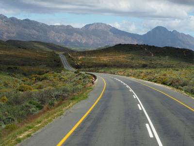
Drakensberg Sani Pass Scenic Scenic Mountain Drive (Sani Pass → Lesotho entry)
Mountain drive along dramatic escarpments.
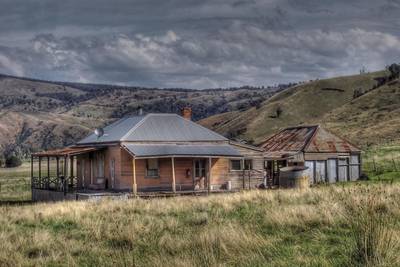
Great Alpine Scenic Mountain Drive
Mountain road crossing Australian Alps.
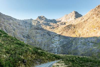
Milford Road Alpine Scenic Drive
Road to Milford Sound with dramatic alpine scenery.