
Route Identity
Death Valley Scenic Drive
USA — California / Nevada
Overview Layer
Overview
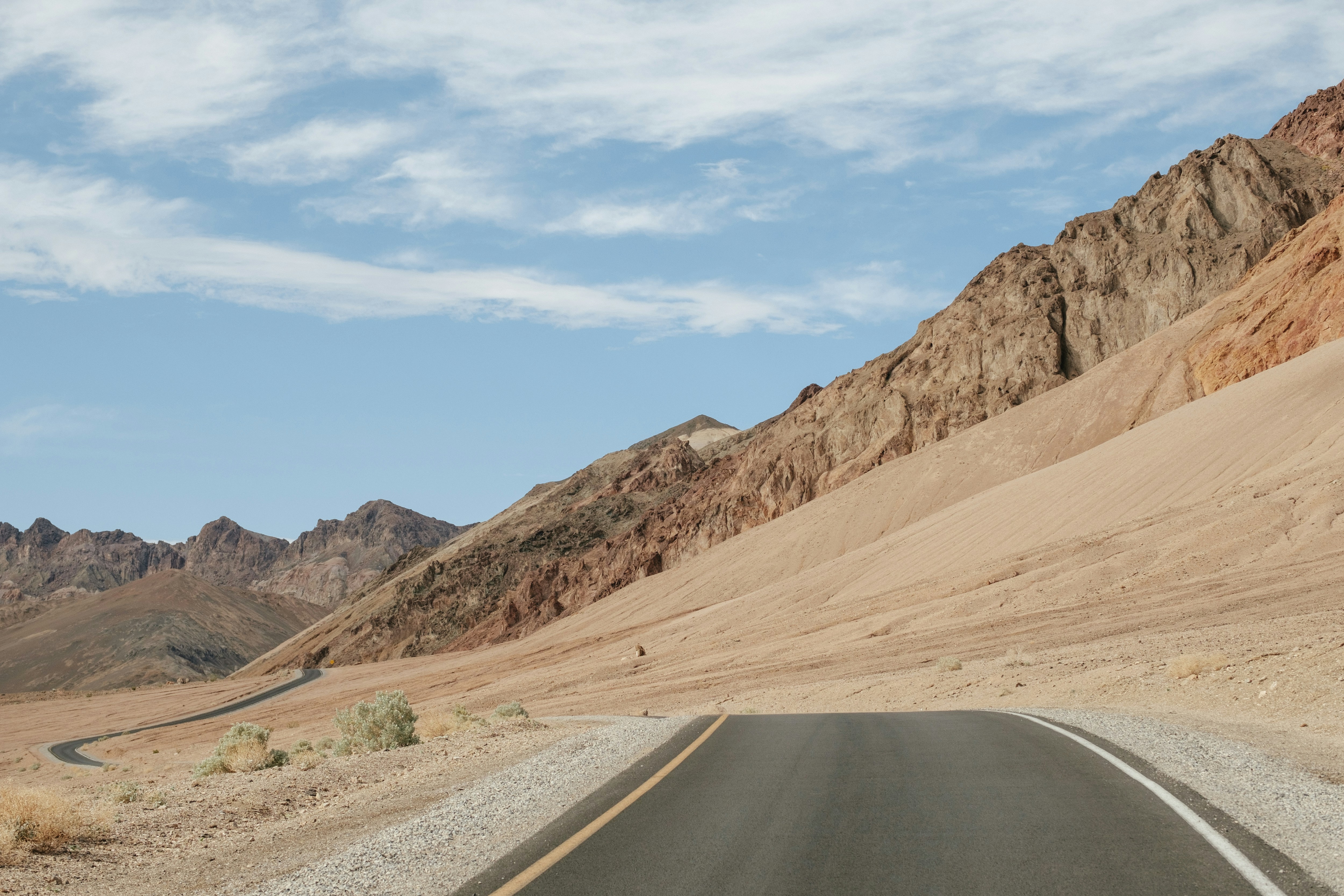
The Death Valley Scenic Drive is one of the most extreme and visually striking road trips in the United States, crossing Death Valley National Park between California and Nevada. The route passes salt flats, sand dunes, canyons, and vast desert basins surrounded by distant mountain ranges. Known as one of the hottest places on Earth, Death Valley offers a surreal driving experience defined by scale, silence, and harsh desert beauty.
Weather
Hyper-arid desert climate with extreme summer heat, very low rainfall, and strong diurnal temperature variation.
Seasonal Driving Conditions
Warm but manageable temperatures with dry desert conditions.
- stable dry conditions
- moderate daytime temperatures
Extreme heat conditions with very high daytime temperatures and hazardous exposure risk.
- extreme heat stress on surfaces
- very high road temperatures
Gradual cooling with still hot daytime conditions but improved comfort.
- cooling trend improves driving comfort
- stable visibility conditions
Mild daytime temperatures with cold nights and stable dry weather.
- cold nights with mild days
- excellent visibility in dry air
Road conditions
Well-maintained paved desert roads with occasional secondary gravel segments; heat can affect surface conditions.
Driving difficulty explained
Moderate difficulty due to extreme heat and remoteness rather than road complexity.
Route Snapshot Layer
Route Snapshot
This is a scenic driving route in California / Nevada, USA.
The route features moderate driving conditions.
It is classified as Moderate and is best suited for general road trip travelers.
Points of Interest
Scenic viewpoints
- Sunset Viewpoint — 33 m from route (30.1 km from start)
- Ubehebe Crater Viewpoint — 11 m from route (101.2 km from start)
- Devil's Corn Field — 45 m from route (168.0 km from start)
- Mesquite Flat Sand Dunes — 88 m from route (172.6 km from start)
Places to eat
- Badwater Saloon — 71 m from route (175.6 km from start)
- The Last Kind Words Saloon — 27 m from route (215.4 km from start)
Interesting stops
- Aprons of Rock — 11 m from route (47.1 km from start)
- Grapevine — 15 m from route (81.5 km from start)
Actual Driving Track (GPX-data)
Download GPXGPS Data Layer
Measured Driving Route
This route is analyzed directly from GPX track data. It features a total distance of 215.4 km, with an elevation gain of 1977 m.
Route Structure
| Type | Distance (km) | Elevation Gain (m) | Avg Gradient (%) |
|---|---|---|---|
| flat | 160.76 km | 953 m | 0% |
| climb | 26.49 km | 977 m | 3.6% |
| descent | 28.12 km | 47 m | -3.5% |
About this route
The Death Valley Scenic Drive is one of the most scenic driving experiences in USA. Located in California / Nevada, this route offers a unique combination of landscapes, road conditions and natural highlights.
Stretching over 215.4 km, this drive takes approximately 5 hours.
This route is especially popular among travelers looking for road trips.
Travel Experience
We left early thinking it would make the heat more manageable, but even in the morning the air already felt dry and heavy in a strange way.
At one salt flat stop we got out just for a few minutes and immediately went back to the car. The ground looked endless, but it was hard to judge distance or direction properly.
There were long stretches where we didn’t see another vehicle at all. The road just cut through empty desert, and it started to feel like we were repeating the same view over and over.
We stopped at a small canyon turnout mostly because everyone else was stopping there too. It wasn’t planned, just one of those shared pauses you end up joining.
By the end of the Death Valley Scenic Drive, the most memorable thing wasn’t any single landmark. It was how consistent the emptiness felt, like the landscape didn’t change even when we were clearly moving through it.
Best time to visit
The best time to explore the Death Valley Scenic Drive is typically during spring and summer months, when weather conditions are stable and visibility is high. However, autumn offers fewer crowds and more dramatic scenery.
Travel tips
- Avoid travel during peak daytime heat in summer
- Carry large water reserves at all times
- Ensure fuel tank is filled before entering remote sections
Why visit
- Scenic landscapes unique to California / Nevada
- Popular road trip destination in USA
- Great for photography
- Varied terrain and driving conditions
Driving Interpretation Layer
What this route means
How long is this route?
The route is approximately 215.4 km long, with an elevation gain of 1977 m.
How difficult is the drive?
This route is classified as Moderate, with a maximum gradient of 4.9%.
What kind of terrain does it have?
This is a relatively mild scenic route with steady and predictable driving conditions.
What makes this route unique?
The route combines elevation variation (1977 m total gain) with changing landscapes shaped by natural geography and road conditions.
What type of driver is this route best suited for?
This route is suitable for most drivers, including casual travelers looking for a scenic and relaxed drive.
Discovery Layer
More routes in USA
About USA →
Blue Ridge Parkway Scenic Mountain Drive
Scenic mountain drive through the Appalachian Highlands.

Pacific Coast Highway Coastal Scenic Drive
Iconic coastal drive along California's Pacific coastline.
Utah National Parks Scenic Loop Drive
Arches, canyons and desert landscapes.
Dalton Highway Arctic Wilderness Drive
One of the most remote roads in North America.
Going-to-the-Sun Road Glacier Scenic Drive
High mountain road crossing Glacier National Park.
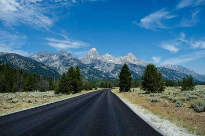
Beartooth Highway Alpine Scenic Drive
High alpine road with dramatic switchbacks.
More similar scenic routes
Utah National Parks Scenic Loop Drive
Arches, canyons and desert landscapes.
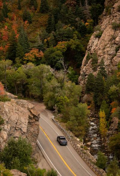
Route 12 Utah Desert Scenic Drive
Red rock landscapes and high plateaus.
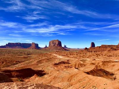
Monument Valley Scenic Drive
Iconic desert road through towering sandstone buttes and vast Navajo landscapes
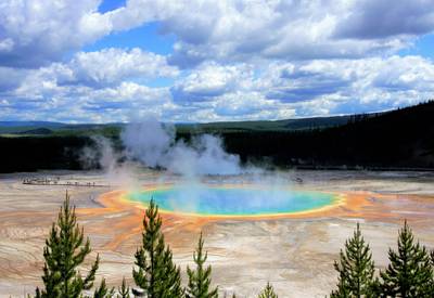
Yellowstone Grand Loop & Grand Teton Ultimate National Park Scenic Road Trip
Iconic national park road trip linking Yellowstone’s geothermal wonders with the jagged peaks of Grand Teton
Blue Ridge Parkway Scenic Mountain Drive
Scenic mountain drive through the Appalachian Highlands.
Pacific Coast Highway Coastal Scenic Drive
Iconic coastal drive along California's Pacific coastline.