
Route Identity
Million Dollar Highway Mountain Pass Drive
USA — Colorado
Overview Layer
Overview
Discover the Million Dollar Highway, one of Colorado's most famous mountain roads known for dramatic peaks, historic mining towns, and thrilling cliffside driving.
Weather
High alpine mountain climate with extreme elevation, rapid weather shifts, and long winter snow season.
Seasonal Driving Conditions
Late snowmelt period with unstable conditions and possible partial closures.
- snowmelt runoff
- wet and unstable road edges
Best accessibility with dry roads and stable high-altitude weather.
- open mountain road
- stable driving conditions
Cooling temperatures with early snow risk at elevation.
- early snowfall risk
- cold alpine winds
Heavy snow and ice with frequent closures in mountain sections.
- road closures
- deep snow and ice
Road conditions
Narrow mountain highway with steep drop-offs, no guardrails in sections, and avalanche-prone terrain.
Driving difficulty explained
Very high difficulty due to steep drop-offs and extreme mountain terrain.
Route Snapshot Layer
Route Snapshot
This is a scenic driving route in Colorado, USA.
The route features moderate driving conditions.
It is classified as Moderate and is best suited for general road trip travelers.
Points of Interest
Scenic viewpoints
- Red Mountain Overlook — 37 m from route (26.0 km from start)
Places to eat
- The Outlaw — 15 m from route (7.9 km from start)
- Brick House — 19 m from route (49.9 km from start)
Cafés and stops
- Artisan Bakery and Cafe — 16 m from route (8.1 km from start)
Interesting stops
- The Gray — 21 m from route (50.2 km from start)
Interesting stops
- Ouray Hot Springs Pool & Fitness Center — 15 m from route (7.2 km from start)
- Nordic Trailhead — 19 m from route (20.7 km from start)
Actual Driving Track (GPX-data)
Download GPXGPS Data Layer
Measured Driving Route
This route is analyzed directly from GPX track data. It features a total distance of 57.4 km, with an elevation gain of 1531 m.
Route Structure
| Type | Distance (km) | Elevation Gain (m) | Avg Gradient (%) |
|---|---|---|---|
| flat | 15.27 km | 153 m | -0.6% |
| climb | 22.1 km | 1236 m | 4.9% |
| descent | 20.06 km | 141 m | -4.9% |
About this route
The Million Dollar Highway Mountain Pass Drive is one of the most scenic driving experiences in USA. Located in Colorado, this route offers a unique combination of landscapes, road conditions and natural highlights.
Stretching over 57.4 km, this drive takes approximately 2 hours.
This route is especially popular among travelers looking for road trips.
Travel Experience
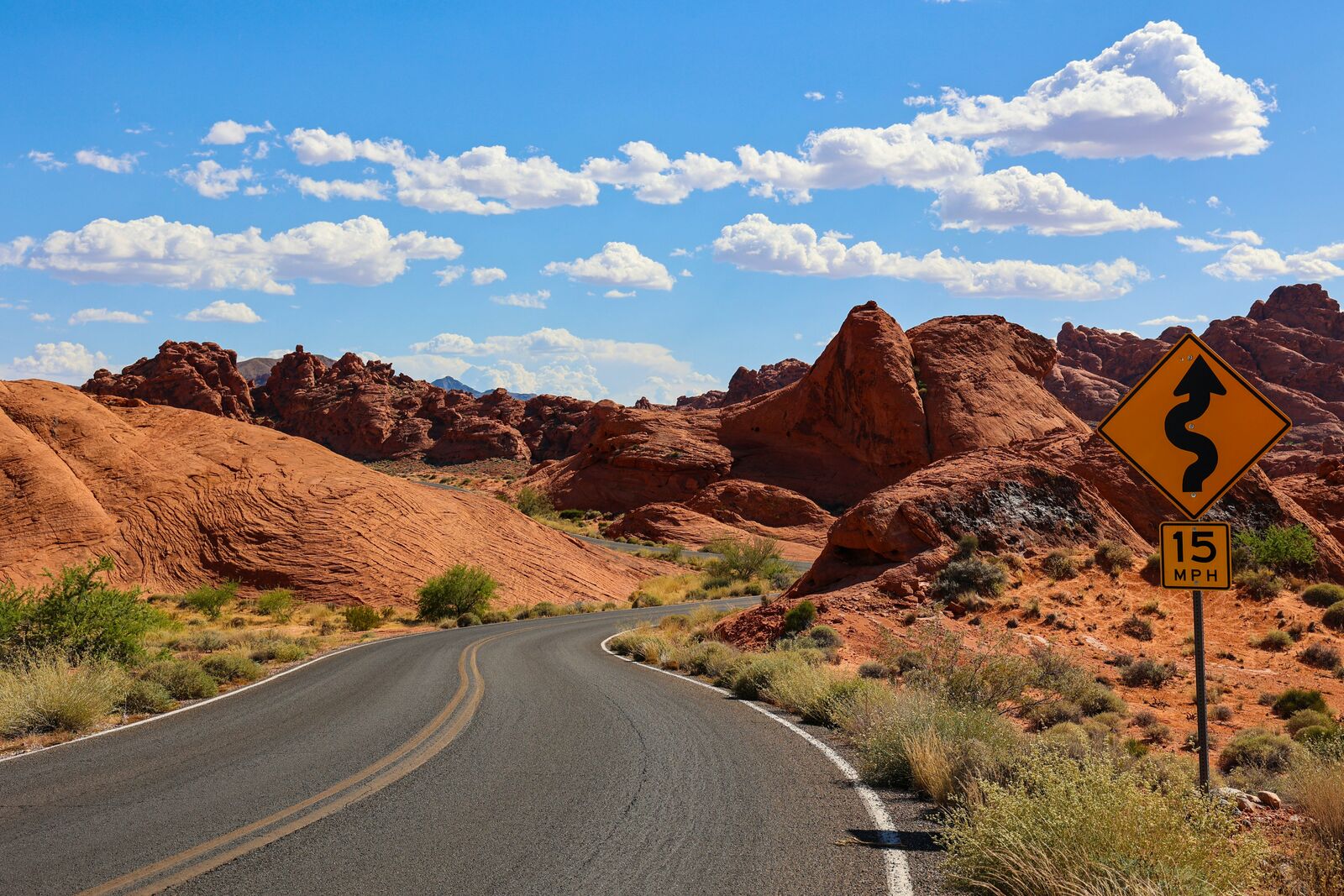
Before starting the drive I'd heard a lot about the drop-offs, so I expected something stressful. In reality it wasn't terrifying, but there were definitely sections where I paid a little more attention to the road than usual and left the sightseeing to the passengers.
The route passes through old mining country and every now and then you'd spot historic buildings or abandoned-looking structures on distant slopes. They added a lot of character to the landscape and broke up the mountain scenery.
Some viewpoints appeared almost without warning. We'd round a corner and suddenly the valley would open up below us. Those moments ended up being more memorable than the sections we'd actually planned to stop at.
Traffic was fairly light during most of the drive, which helped. I imagine the road feels very different when there are larger vehicles around, especially in some of the narrower stretches near the mountainsides.
The route isn't especially long, but it packs a lot into a relatively short distance. By the end it felt like we'd covered far more ground than the odometer suggested.
Best time to visit
The best time to explore the Million Dollar Highway Mountain Pass Drive is typically during spring and summer months, when weather conditions are stable and visibility is high. However, autumn offers fewer crowds and more dramatic scenery.
Travel tips
- Avoid winter travel due to closures
- Use extreme caution on narrow sections
- Expect rapid weather changes at altitude
Why visit
- Scenic landscapes unique to Colorado
- Popular road trip destination in USA
- Great for photography
- Varied terrain and driving conditions
Driving Interpretation Layer
What this route means
How long is this route?
The route is approximately 57.4 km long, with an elevation gain of 1531 m.
How difficult is the drive?
This route is classified as Moderate, with a maximum gradient of 6.5%.
What kind of terrain does it have?
This is a high alpine mountain route with significant elevation changes and exposed terrain.
What makes this route unique?
The route combines elevation variation (1531 m total gain) with changing landscapes shaped by natural geography and road conditions.
What type of driver is this route best suited for?
This route is best suited for experienced drivers comfortable with steep gradients, narrow mountain roads, and changing weather conditions.
Discovery Layer
More routes in USA
About USA →
Blue Ridge Parkway Scenic Mountain Drive
Scenic mountain drive through the Appalachian Highlands.

Pacific Coast Highway Coastal Scenic Drive
Iconic coastal drive along California's Pacific coastline.
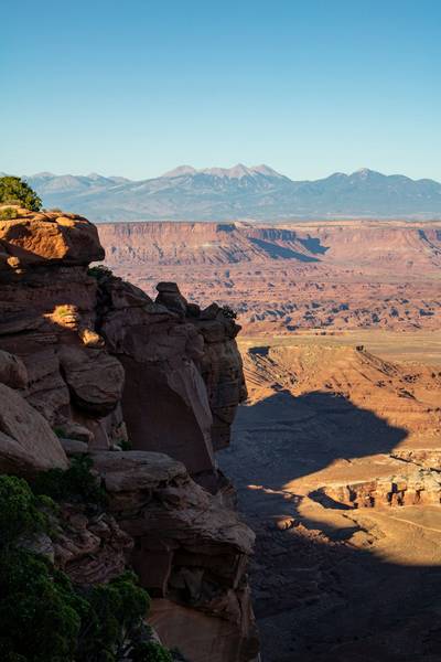
Utah National Parks Scenic Loop Drive
Arches, canyons and desert landscapes.
Dalton Highway Arctic Wilderness Drive
One of the most remote roads in North America.
Going-to-the-Sun Road Glacier Scenic Drive
High mountain road crossing Glacier National Park.
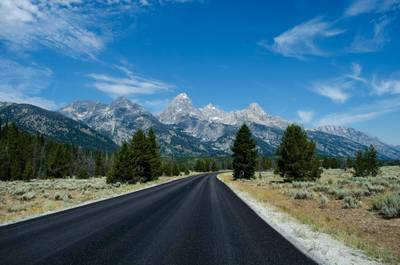
Beartooth Highway Alpine Scenic Drive
High alpine road with dramatic switchbacks.
More similar scenic routes
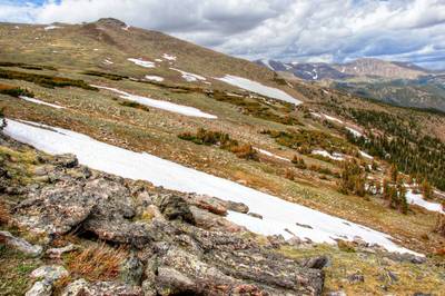
Trail Ridge Road High Alpine Scenic Drive
America's highest continuous paved road.
Blue Ridge Parkway Scenic Mountain Drive
Scenic mountain drive through the Appalachian Highlands.
Going-to-the-Sun Road Glacier Scenic Drive
High mountain road crossing Glacier National Park.
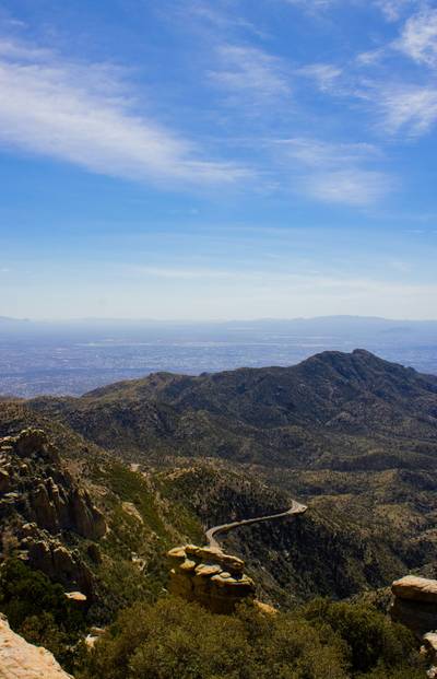
Skyline Drive Appalachian Scenic Drive
Scenic ridge road through Shenandoah National Park.

Route des Grandes Alpes Alpine Scenic Road Trip
High alpine route crossing multiple mountain passes.

Icefields Parkway Rocky Mountain Scenic Drive
One of the most scenic drives in the Canadian Rockies.