
Route Identity
Skyline Drive Appalachian Scenic Drive
USA — Virginia
Overview Layer
Overview
Enjoy Skyline Drive, a beautiful route following the ridges of Shenandoah National Park with mountain overlooks, forests, and sweeping views of the Shenandoah Valley.
Weather
Temperate mountain climate with moderate precipitation and strong seasonal variation in the Blue Ridge region.
Seasonal Driving Conditions
Mild temperatures with frequent rain and fog in mountain areas.
- frequent rainfall
- wet road surfaces
Warm and humid conditions with generally stable road access.
- stable driving conditions
- humid air mass influence
Cooling temperatures with reduced humidity and stable visibility windows.
- cool temperatures
- dry and stable pavement
Cold conditions with occasional snow and reduced visibility in higher sections.
- light snow events
- reduced visibility in foggy sections
Road conditions
Ridge-top scenic highway with multiple overlooks, winding pavement, and fog-prone sections.
Driving difficulty explained
Low to moderate difficulty due to well-maintained road but weather variability.
Route Snapshot Layer
Route Snapshot
This is a scenic driving route in Virginia, USA.
The route features moderate driving conditions.
It is classified as Hard and is best suited for general road trip travelers.
Points of Interest
Scenic viewpoints
- Big Run Overlook — 10 m from route (39.0 km from start)
- Belfore Hollow Overlook — 8 m from route (53.4 km from start)
- South River Overlook — 18 m from route (68.5 km from start)
- Tanners Ridge Overlook — 9 m from route (86.7 km from start)
- Spitler Knoll Overlook — 10 m from route (91.7 km from start)
Actual Driving Track (GPX-data)
Download GPXGPS Data Layer
Measured Driving Route
This route is analyzed directly from GPX track data. It features a total distance of 169.1 km, with an elevation gain of 3647 m.
Route Structure
| Type | Distance (km) | Elevation Gain (m) | Avg Gradient (%) |
|---|---|---|---|
| climb | 46.49 km | 2065 m | 4% |
| flat | 70.55 km | 1290 m | -0.2% |
| descent | 52.08 km | 292 m | -4.1% |
About this route
The Skyline Drive Appalachian Scenic Drive is one of the most scenic driving experiences in USA. Located in Virginia, this route offers a unique combination of landscapes, road conditions and natural highlights.
Stretching over 169.1 km, this drive takes approximately 4 hours.
This route is especially popular among travelers looking for road trips.

Travel Experience
The pace of this road felt different from the start. Speed limits are low, there are overlooks everywhere and nobody seems interested in getting anywhere quickly. It felt less like transportation and more like a long scenic walk that happens to be done in a car.
Some viewpoints overlooked huge valleys while others faced layers of distant ridges fading into the horizon. We stopped at several and eventually lost track of which overlook was which because there were so many scattered along the route.
Wildlife turned out to be a bigger part of the experience than expected. We saw deer multiple times and spent a few minutes waiting while one casually stood near the roadside completely ignoring passing cars.
There wasn't a single moment that stood out as the highlight. Instead the drive felt consistently pleasant from beginning to end. Every section looked slightly different, but the overall atmosphere stayed calm and unhurried.
Toward the end of the day the light over the valleys became softer and the views somehow looked even better. It was one of those drives where arriving at the destination felt a little disappointing because the road itself had become the main attraction.
Best time to visit
The best time to explore the Skyline Drive Appalachian Scenic Drive is typically during spring and summer months, when weather conditions are stable and visibility is high. However, autumn offers fewer crowds and more dramatic scenery.
Travel tips
- Expect fog in ridge sections
- Drive cautiously during rain
- Check winter weather conditions before travel
Why visit
- Scenic landscapes unique to Virginia
- Popular road trip destination in USA
- Great for photography
- Varied terrain and driving conditions
Driving Interpretation Layer
What this route means
How long is this route?
The route is approximately 169.1 km long, with an elevation gain of 3647 m.
How difficult is the drive?
This route is classified as Hard, with a maximum gradient of 6.6%.
What kind of terrain does it have?
This is a relatively mild scenic route with steady and predictable driving conditions.
What makes this route unique?
The route combines elevation variation (3647 m total gain) with changing landscapes shaped by natural geography and road conditions.
What type of driver is this route best suited for?
This route is suitable for confident drivers who are comfortable with occasional steep sections and mountain terrain.
Discovery Layer
More routes in USA
About USA →
Blue Ridge Parkway Scenic Mountain Drive
Scenic mountain drive through the Appalachian Highlands.

Pacific Coast Highway Coastal Scenic Drive
Iconic coastal drive along California's Pacific coastline.
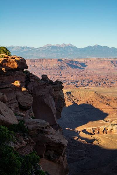
Utah National Parks Scenic Loop Drive
Arches, canyons and desert landscapes.
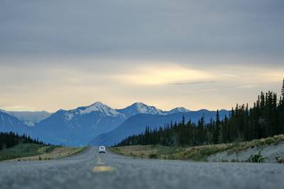
Dalton Highway Arctic Wilderness Drive
One of the most remote roads in North America.
Going-to-the-Sun Road Glacier Scenic Drive
High mountain road crossing Glacier National Park.
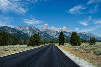
Beartooth Highway Alpine Scenic Drive
High alpine road with dramatic switchbacks.
More similar scenic routes
Blue Ridge Parkway Scenic Mountain Drive
Scenic mountain drive through the Appalachian Highlands.
Going-to-the-Sun Road Glacier Scenic Drive
High mountain road crossing Glacier National Park.
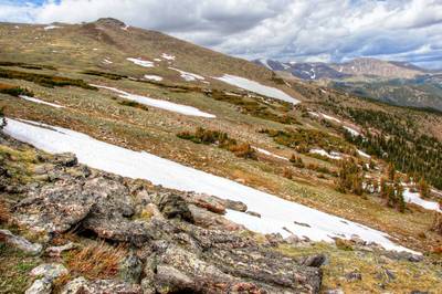
Trail Ridge Road High Alpine Scenic Drive
America's highest continuous paved road.
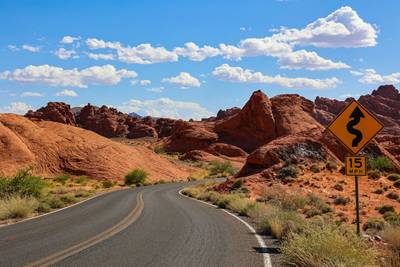
Million Dollar Highway Mountain Pass Drive
Narrow mountain highway with steep drop-offs.

Route des Grandes Alpes Alpine Scenic Road Trip
High alpine route crossing multiple mountain passes.

Icefields Parkway Rocky Mountain Scenic Drive
One of the most scenic drives in the Canadian Rockies.