
Route Identity
Apuseni Mountains Scenic Drive
Romania — Transylvania
Overview Layer
Overview
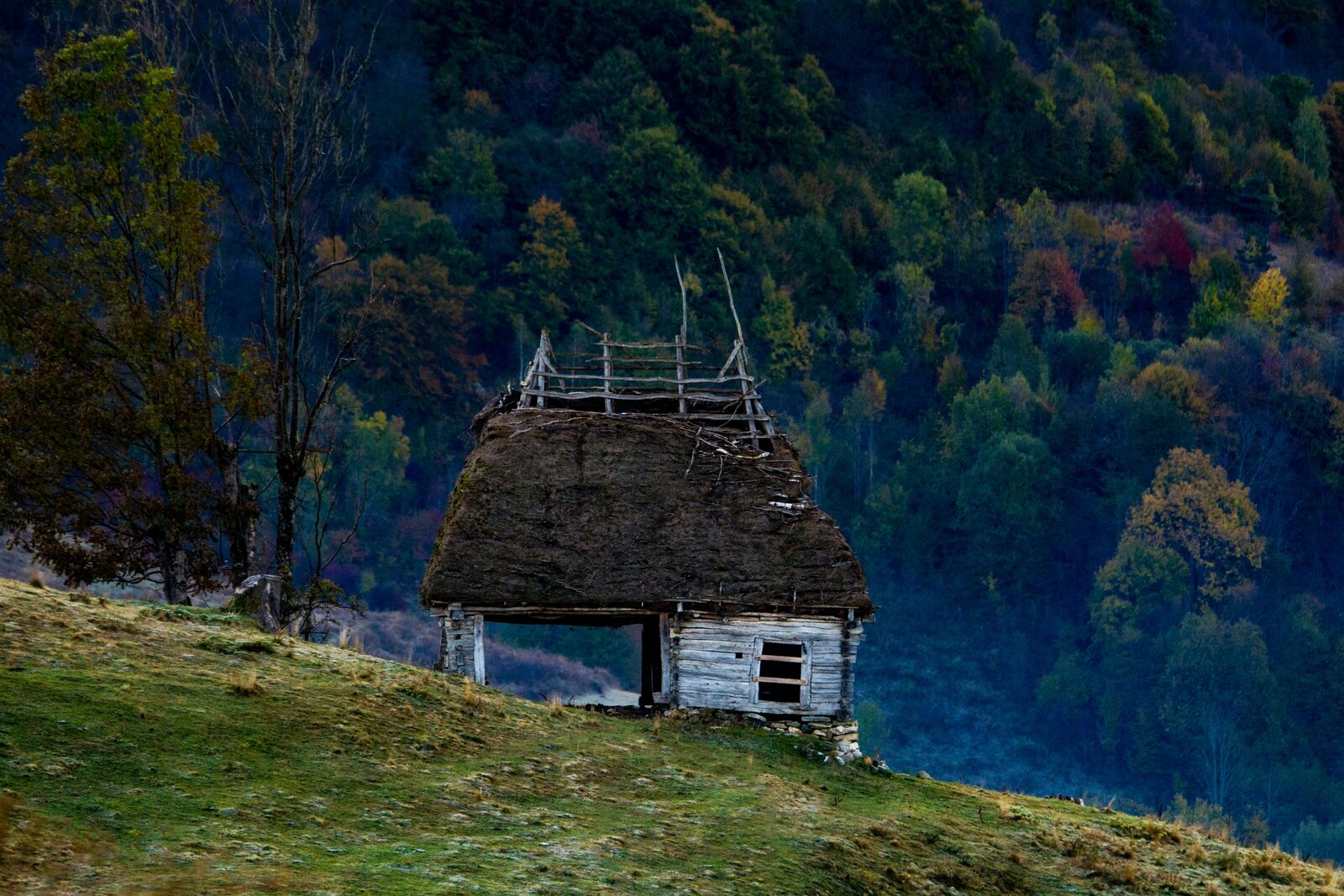
The Apuseni Mountains Drive in Romania takes you through remote Transylvanian landscapes filled with dense forests, cave systems, and scattered rural villages. It is a quiet mountain route that emphasizes natural scenery and traditional countryside life.
Weather
Continental mountain climate with moderate elevation, seasonal snow, and humid forested valleys.
Seasonal Driving Conditions
Cool mountain conditions with melting snow and wet forest roads.
- snowmelt increases water flow
- wet rural road conditions
Mild and stable conditions with best access to mountain and rural routes.
- stable mountain access
- dry asphalt in most areas
Cooling temperatures with fog in valleys and increasing rainfall.
- frequent valley fog
- wet leaves on rural roads
Snow and ice in higher elevations with reduced road accessibility.
- snow-covered roads
- icy shaded forest sections
Road conditions
Winding mountain and forest roads with variable surfaces and seasonal traction changes.
Driving difficulty explained
Moderate difficulty due to winding terrain and seasonal weather impact.
Route Snapshot Layer
Route Snapshot
This is a scenic driving route in Transylvania, Romania.
The route features moderate driving conditions.
It is classified as Extreme and is best suited for general road trip travelers.
Points of Interest
Attractions along the route
- Cheile Mândruțului — 65 m from route (186.2 km from start)
Interesting stops
- Centru Vartop — 9 m from route (18.8 km from start)
- Padiș — 16 m from route (57.6 km from start)
- Padiș — 7 m from route (57.9 km from start)
Places to eat
- Mama Uta — 14 m from route (193.7 km from start)
- Casa de Vis — 0 m from route (199.0 km from start)
- Restaurant Iara — 27 m from route (199.8 km from start)
Actual Driving Track (GPX-data)
Download GPXGPS Data Layer
Measured Driving Route
This route is analyzed directly from GPX track data. It features a total distance of 227.0 km, with an elevation gain of 9356 m.
Route Structure
| Type | Distance (km) | Elevation Gain (m) | Avg Gradient (%) |
|---|---|---|---|
| climb | 66.7 km | 4592 m | 4.6% |
| flat | 91.23 km | 2941 m | 0.2% |
| descent | 69.04 km | 1822 m | -4.7% |
About this route
The Apuseni Mountains Scenic Drive is one of the most scenic driving experiences in Romania. Located in Transylvania, this route offers a unique combination of landscapes, road conditions and natural highlights.
Stretching over 227.0 km, this drive takes approximately 5 hours.
This route is especially popular among travelers looking for road trips.
Travel Experience
We started out on small roads almost immediately, nothing like a main mountain pass, more like threading through villages that slowly got more spaced out.
At one stop near a cave entrance there were a few cars already there and people putting on jackets even though it wasn’t that cold yet. We didn’t go inside, just stood around a bit and then moved on.
There were long sections where the road stayed narrow and forested, with occasional clearings where you could see farms tucked into hills. We didn’t really talk much, just slowed down for animals on the road a couple of times.
We stopped for food in a place that felt very local, like it was mainly serving people who already know the area. Nothing memorable about the meal, but it was warm and enough to reset before continuing.
By the end of the Apuseni Mountains Drive, it felt like a mix of dense forest stretches and small rural pockets that appeared suddenly and disappeared just as fast. Not a single big highlight, just a steady movement through quiet Transylvanian mountain roads.
Best time to visit
The best time to explore the Apuseni Mountains Scenic Drive is typically during spring and summer months, when weather conditions are stable and visibility is high. However, autumn offers fewer crowds and more dramatic scenery.
Travel tips
- Drive carefully on wet forest roads
- Expect fog in valleys during autumn
- Check snow conditions in winter months
Why visit
- Scenic landscapes unique to Transylvania
- Popular road trip destination in Romania
- Great for photography
- Varied terrain and driving conditions
Driving Interpretation Layer
What this route means
How long is this route?
The route is approximately 227.0 km long, with an elevation gain of 9356 m.
How difficult is the drive?
This route is classified as Extreme, with a maximum gradient of 9.7%.
What kind of terrain does it have?
This route features hilly terrain with several steep driving sections.
What makes this route unique?
The route combines elevation variation (9356 m total gain) with changing landscapes shaped by natural geography and road conditions.
What type of driver is this route best suited for?
This route is suitable for confident drivers who are comfortable with occasional steep sections and mountain terrain.
Discovery Layer
More routes in Romania
About Romania →
Transfăgărășan Alpine Scenic Highway Drive
One of the most dramatic mountain roads in the world
Transalpina Scenic Drive – Romania’s Highest Mountain Road Through the Carpathians
Romania’s highest paved road crossing alpine ridges, mountain passes and panoramic Carpathian landscapes
More similar scenic routes

Blue Ridge Parkway Scenic Mountain Drive
Scenic mountain drive through the Appalachian Highlands.
Vosges Mountain Scenic Drive
Forest-covered mountains and panoramic summits.
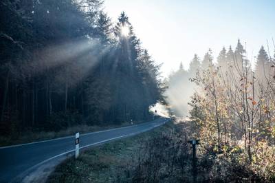
Black Forest Scenic High Road Drive
Scenic ridge drive through dense Black Forest landscapes with occasional alpine views
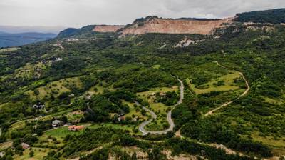
Bükk & Mátra Mountain Scenic Drive – Hungary’s Forested Highlands and Volcanic Peaks
Scenic drive through Hungary’s highest mountains, combining forested Bükk landscapes with volcanic Mátra peaks

Route des Grandes Alpes Alpine Scenic Road Trip
High alpine route crossing multiple mountain passes.

Icefields Parkway Rocky Mountain Scenic Drive
One of the most scenic drives in the Canadian Rockies.