
Route Identity
Dolomites Mountain Scenic Drive
Italy — Dolomites
Overview Layer
Overview
Explore the breathtaking Dolomites Great Road in Italy. This medium difficulty mountain drive traverses the dramatic Dolomites region, offering unparalleled views of towering peaks and historical mountain crossings.
Weather
High alpine climate with strong seasonal variation, rapid weather changes, and significant winter snowfall.
Seasonal Driving Conditions
Late spring with remaining snow at higher elevations and partial pass reopenings.
- snow clearing operations ongoing
- variable traction in shaded areas
Mild alpine conditions with stable access and fully open mountain passes.
- fully accessible mountain passes
- stable dry road conditions
Cooling temperatures with early snowfall possible in high-altitude areas.
- early snowfall at altitude
- cooling temperatures affecting grip
Heavy snow conditions with frequent closures of high mountain passes.
- road closures at high passes
- snow and ice accumulation
Road conditions
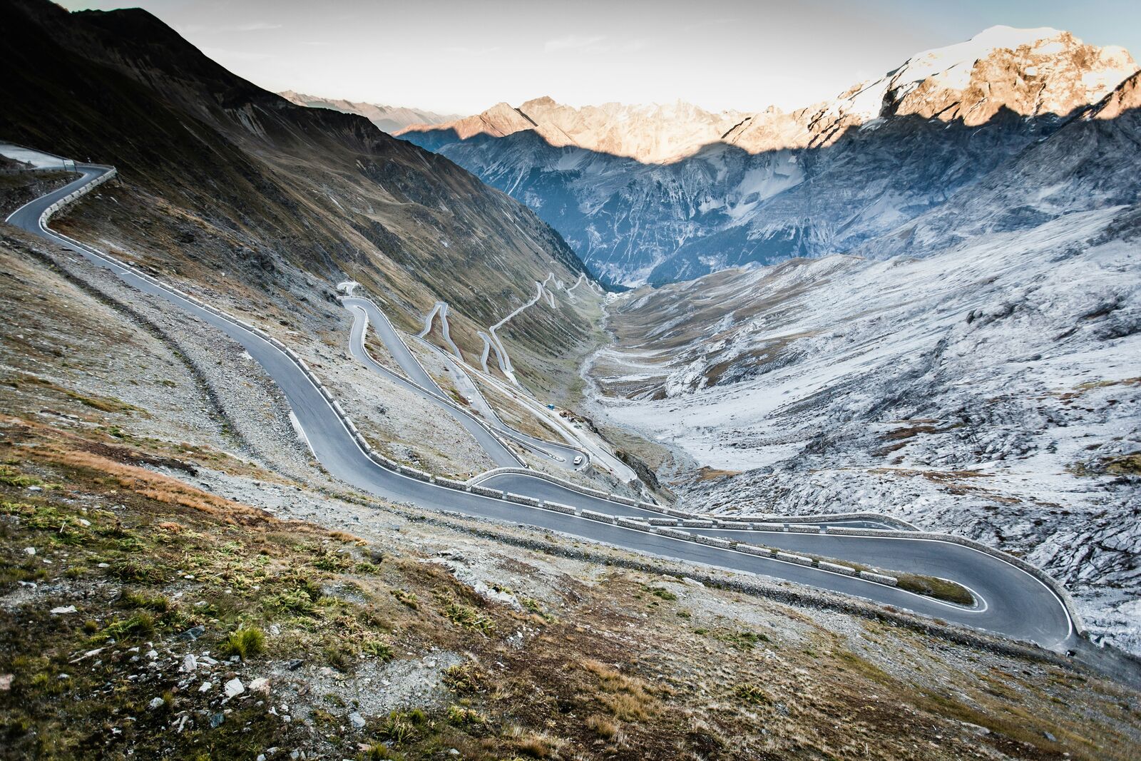
Mountain roads with steep switchbacks, elevation gain, and seasonal closures at high passes.
Driving difficulty explained
High difficulty due to steep gradients, tight switchbacks, and altitude changes.
Route Snapshot Layer
Route Snapshot
This is a scenic driving route in Dolomites, Italy.
The route features moderate driving conditions.
It is classified as Extreme and is best suited for general road trip travelers.
Points of Interest
Attractions along the route
- Prezentacja edukacyjna - skały Dolomitów — 5 m from route (40.6 km from start)
- Old wooden houses — 88 m from route (41.2 km from start)
Scenic viewpoints
- Passo Pordoi — 69 m from route (44.6 km from start)
Places to eat
- Ristorante indiano Maharaja — 22 m from route (0.3 km from start)
- Pizzeria Mondschein — 19 m from route (18.2 km from start)
- Ristorante El Filò — 5 m from route (31.0 km from start)
- RESTAURANT BAR PETER PIZZERIA APRES SKI — 9 m from route (49.9 km from start)
Interesting stops
- Grohmann — 7 m from route (38.5 km from start)
Interesting stops
- Mangio e Via — 14 m from route (1.0 km from start)
Actual Driving Track (GPX-data)
Download GPXGPS Data Layer
Measured Driving Route
This route is analyzed directly from GPX track data. It features a total distance of 72.7 km, with an elevation gain of 2397 m.
Route Structure
| Type | Distance (km) | Elevation Gain (m) | Avg Gradient (%) |
|---|---|---|---|
| flat | 23.63 km | 178 m | 1% |
| climb | 19.84 km | 2121 m | 11.5% |
| descent | 29.23 km | 97 m | -7% |
About this route
The Dolomites Mountain Scenic Drive is one of the most scenic driving experiences in Italy. Located in Dolomites, this route offers a unique combination of landscapes, road conditions and natural highlights.
Stretching over 72.7 km, this drive takes approximately 2 hours.
This route is especially popular among travelers looking for road trips.
Travel Experience
We started a bit later than planned and ended up driving into more traffic than expected near the first mountain stretch. Nothing bad, just slower than we thought it would be.
At one of the bends there was a wide pull-off already full of cars, so we skipped it and told ourselves we’d find a better spot later. I’m not even sure we did.
We stopped for coffee in a small place that felt slightly out of the main flow of tourists. I remember more about waiting for the bathroom than the actual coffee, which was fine but nothing special.
Near the higher part of the drive, the air got noticeably colder and we put on jackets without really thinking about it earlier. We stayed outside for a few minutes, took a couple of photos, then got back in the car because it was getting a bit uncomfortable standing still.
By the time we finished the route, I don’t think any of us had a strong “wow” moment, just a general feeling that it was a lot of driving through mountains and that we probably missed a few better viewpoints along the way.
Best time to visit
The best time to explore the Dolomites Mountain Scenic Drive is typically during spring and summer months, when weather conditions are stable and visibility is high. However, autumn offers fewer crowds and more dramatic scenery.
Travel tips
- Check pass status before departure
- Use low gear on steep descents
- Expect sudden weather changes at elevation
Why visit
- Scenic landscapes unique to Dolomites
- Popular road trip destination in Italy
- Great for photography
- Varied terrain and driving conditions
Driving Interpretation Layer
What this route means
How long is this route?
The route is approximately 72.7 km long, with an elevation gain of 2397 m.
How difficult is the drive?
This route is classified as Extreme, with a maximum gradient of 20.2%.
What kind of terrain does it have?
This route features hilly terrain with several steep driving sections.
What makes this route unique?
The route combines elevation variation (2397 m total gain) with changing landscapes shaped by natural geography and road conditions.
What type of driver is this route best suited for?
This route is best suited for experienced drivers comfortable with steep gradients, narrow mountain roads, and changing weather conditions.
Discovery Layer
More routes in Italy
About Italy →
Stelvio Pass Alpine Scenic Drive
Iconic alpine road with 48 hairpin turns and dramatic mountain views
Amalfi Coast Scenic Drive
Winding coastal road with dramatic sea views
Sardinia Coastal Scenic Drive
Turquoise waters and winding coastal roads of Sardinia.
More similar scenic routes

Route des Grandes Alpes Alpine Scenic Road Trip
High alpine route crossing multiple mountain passes.

Icefields Parkway Rocky Mountain Scenic Drive
One of the most scenic drives in the Canadian Rockies.

Blue Ridge Parkway Scenic Mountain Drive
Scenic mountain drive through the Appalachian Highlands.
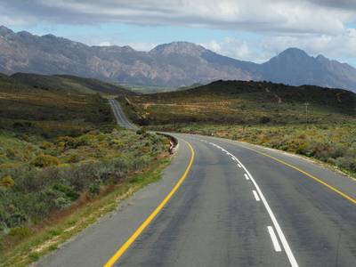
Drakensberg Sani Pass Scenic Scenic Mountain Drive (Sani Pass → Lesotho entry)
Mountain drive along dramatic escarpments.
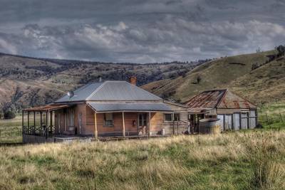
Great Alpine Scenic Mountain Drive
Mountain road crossing Australian Alps.
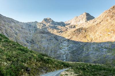
Milford Road Alpine Scenic Drive
Road to Milford Sound with dramatic alpine scenery.