
Route Identity
Salar de Uyuni High Altitude Scenic Drive
Bolivia — Altiplano
Overview Layer
Overview
Take a road trip across the Salar de Uyuni in Bolivia. This incredible, easy scenic drive crosses the world's largest salt flat, offering a truly unique and mind-boggling desert landscape experience.
Weather
High-altitude salt desert climate with very low precipitation overall, but a distinct wet season affecting surface flooding and accessibility.
Seasonal Driving Conditions
Transition from wet season with residual flooding on salt flats and unstable surface conditions in some areas.
- residual surface water in low zones
- variable salt crust firmness
Dry season with hardened salt crust and stable vehicle access across most routes.
- stable dry salt surfaces
- consistent vehicle access
Dry and stable conditions with minimal precipitation and consistent surface hardness.
- firm and dry terrain
- stable navigation conditions
Cool, dry high-altitude desert conditions with strong diurnal temperature variation.
- cold nights at high altitude
- dry and hard salt crust
Road conditions
Flat salt crust terrain with seasonal water coverage, soft edges during wet periods, and remote long-distance crossings.
Driving difficulty explained
Moderate difficulty due to altitude, isolation, and seasonal surface changes affecting traction.
Route Snapshot Layer
Route Snapshot
This is a scenic driving route in Altiplano, Bolivia.
The route features moderate driving conditions.
It is classified as Easy and is best suited for general road trip travelers.
Points of Interest
Scenic viewpoints
- Torre del Reloj de Uyuni — 4 m from route (2.2 km from start)
- Museo de Trenes — 67 m from route (6.5 km from start)
Attractions along the route
- Arco de Coral — 3 m from route (108.1 km from start)
Places to eat
- Hotaru Japanese Food — 32 m from route (0.7 km from start)
- Good Grilled Chicken — 17 m from route (2.1 km from start)
Interesting stops
- La Petite Porte — 32 m from route (0.3 km from start)
- El Toñito Hotel — 54 m from route (3.1 km from start)
Cafés and stops
- Mongos — 18 m from route (108.4 km from start)
Actual Driving Track (GPX-data)
Download GPXGPS Data Layer
Measured Driving Route
This route is analyzed directly from GPX track data. It features a total distance of 153.6 km, with an elevation gain of 747 m.
Route Structure
| Type | Distance (km) | Elevation Gain (m) | Avg Gradient (%) |
|---|---|---|---|
| flat | 151.39 km | 688 m | 0% |
| climb | 2.22 km | 59 m | 2.7% |
About this route
The Salar de Uyuni High Altitude Scenic Drive is one of the most scenic driving experiences in Bolivia. Located in Altiplano, this route offers a unique combination of landscapes, road conditions and natural highlights.
Stretching over 153.6 km, this drive takes approximately 4 hours.
This route is especially popular among travelers looking for road trips.
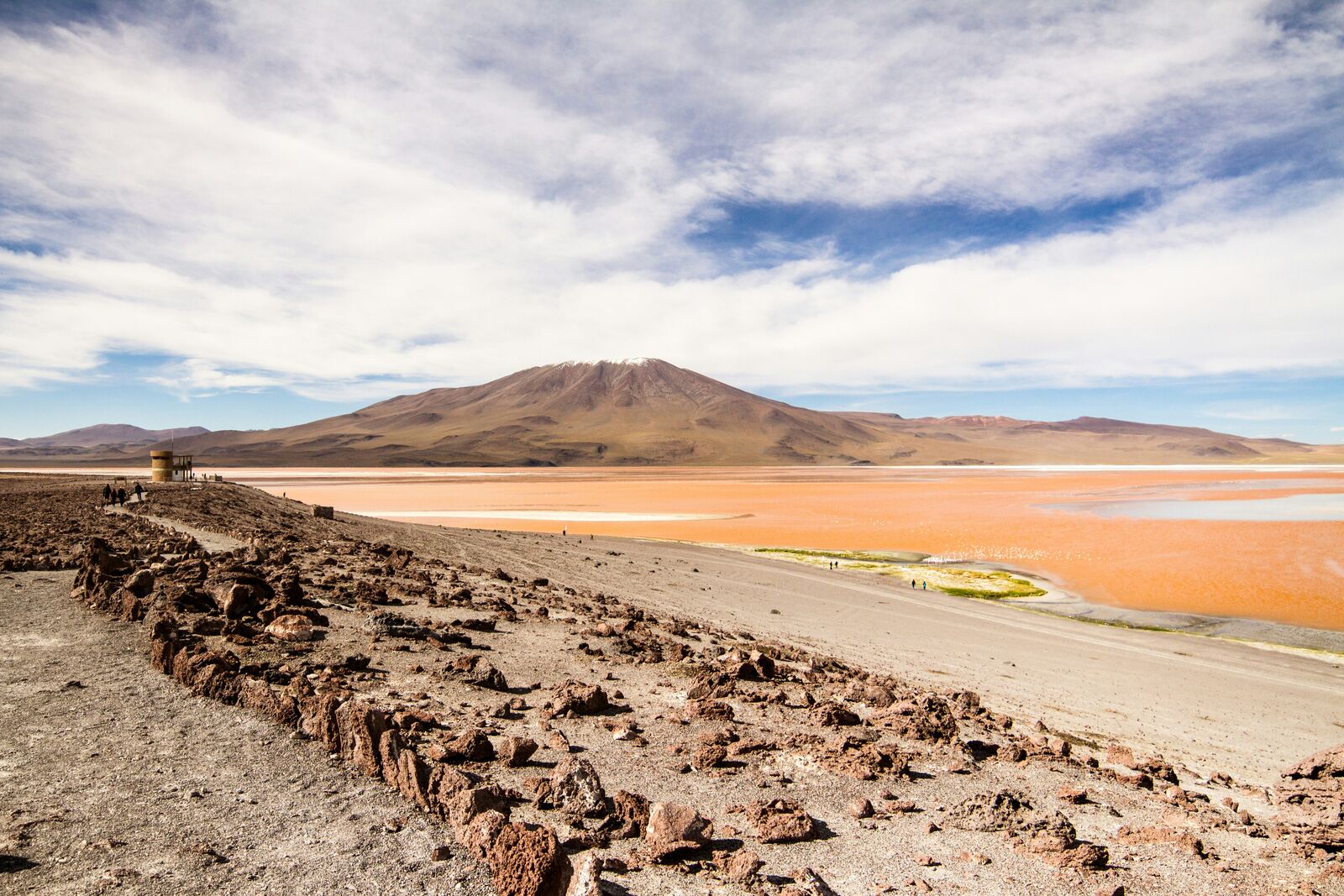
Travel Experience
We started out expecting it to feel unreal right away, but the first part was just dusty tracks leading onto the flats. It took a bit before everything turned completely white and flat in every direction.
At one point we stopped just because another vehicle had stopped there too. People were taking the same perspective photos, trying to mess around with scale, but we mostly just stood there squinting because of the glare and wind.
There was a long stretch where we drove without any clear sense of distance. No trees, no landmarks, just the horizon shifting slightly with heat shimmer. Someone asked how long the drive feels in conditions like this and nobody had a good answer.
We pulled over again to check something with the tires because the surface looked too uniform to trust completely. It was probably fine, but we didn’t really feel like pushing it without looking.
Later, when we left the salt flats, everything else suddenly felt cluttered and noisy again. The Salar de Uyuni Route is short on paper, but while driving across it we kind of lost track of time completely.
Best time to visit
The best time to explore the Salar de Uyuni High Altitude Scenic Drive is typically during spring and summer months, when weather conditions are stable and visibility is high. However, autumn offers fewer crowds and more dramatic scenery.
Travel tips
- Check seasonal flooding conditions before entry
- Carry supplies due to extreme remoteness
- Expect strong temperature drops at night
Why visit
- Scenic landscapes unique to Altiplano
- Popular road trip destination in Bolivia
- Great for photography
- Varied terrain and driving conditions
Driving Interpretation Layer
What this route means
How long is this route?
The route is approximately 153.6 km long, with an elevation gain of 747 m.
How difficult is the drive?
This route is classified as Easy, with a maximum gradient of 2.7%.
What kind of terrain does it have?
This is a high alpine mountain route with significant elevation changes and exposed terrain.
What makes this route unique?
The route combines elevation variation (747 m total gain) with changing landscapes shaped by natural geography and road conditions.
What type of driver is this route best suited for?
This route is best suited for experienced drivers comfortable with steep gradients, narrow mountain roads, and changing weather conditions.
Discovery Layer
More routes in Bolivia
About Bolivia →
More similar scenic routes
Atacama Desert Scenic Drive
Mars-like desert landscapes, salt flats and volcano views in the driest place on Earth
Namib Desert Dune Scenic Drive
Endless desert landscapes and red dunes.
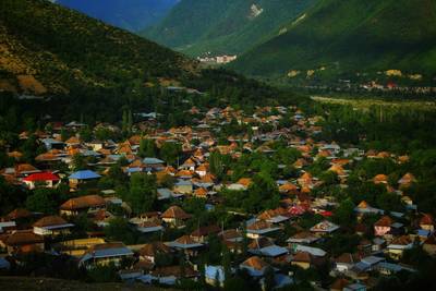
Gobustan Desert Scenic Drive
Desert landscapes and ancient rock carvings.
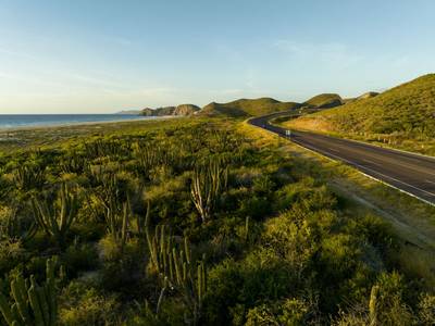
Baja California Desert Coastal Scenic Road Trip
Desert coastline road along Pacific Ocean.
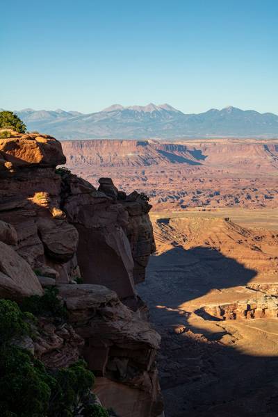
Utah National Parks Scenic Loop Drive
Arches, canyons and desert landscapes.
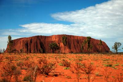
Red Centre Outback Desert Drive
Outback desert road through Uluru region.