
Route Identity
Baja California Desert Coastal Scenic Road Trip
Mexico — Baja California
Overview Layer
Overview
Explore the rugged Baja California Road Trip in Mexico. This epic coastal drive traverses dramatic desert landscapes, endless Pacific views, and wild Mexican coastline for an unforgettable Baja road trip.
Weather
Arid desert and coastal climate with very low rainfall, high summer heat, and strong daily temperature variation.
Seasonal Driving Conditions
Mild and dry desert conditions with stable temperatures and low precipitation.
- stable dry conditions
- moderate daytime temperatures
Hot and dry inland conditions with extreme heat in desert sections.
- extreme heat in desert zones
- dry road surfaces
Cooling temperatures with generally stable weather and reduced heat stress.
- cooling temperatures improve driving comfort
- stable weather
Mild coastal and desert conditions with comfortable daytime temperatures.
- mild conditions
- comfortable long-distance driving
Road conditions
Long desert highways with exposed stretches, occasional rough pavement, and long distances between services.
Driving difficulty explained
Moderate difficulty due to long distances, heat exposure, and remote stretches.
Route Snapshot Layer
Route Snapshot
This is a scenic driving route in Baja California, Mexico.
The route features moderate driving conditions.
It is classified as Extreme and is best suited for general road trip travelers.
Points of Interest
Cafés and stops
- Starbucks — 12 m from route (116.9 km from start)
Places to eat
- Alchile — 24 m from route (12.6 km from start)
- Rex Pizza — 146 m from route (12.6 km from start)
- 2 Piños — 48 m from route (835.0 km from start)
Interesting stops
- Meson Sandwiches — 119 m from route (10.0 km from start)
- Sand Rail Pizza — 32 m from route (455.9 km from start)
Scenic viewpoints
- Mirador al Puerto — 350 m from route (116.9 km from start)
Interesting stops
- Cocos Corner — 14 m from route (684.2 km from start)
Interesting stops
- Campo Archelon — 50 m from route (831.8 km from start)
Interesting stops
- gasolinera — 43 m from route (473.7 km from start)
Actual Driving Track (GPX-data)
Download GPXGPS Data Layer
Measured Driving Route
This route is analyzed directly from GPX track data. It features a total distance of 981.2 km, with an elevation gain of 5988 m.
Route Structure
| Type | Distance (km) | Elevation Gain (m) | Avg Gradient (%) |
|---|---|---|---|
| descent | 91.12 km | 10 m | -3.3% |
| flat | 809.77 km | 3602 m | 0% |
| climb | 80.28 km | 2376 m | 3.1% |
About this route
The Baja California Desert Coastal Scenic Road Trip is one of the most scenic driving experiences in Mexico. Located in Baja California, this route offers a unique combination of landscapes, road conditions and natural highlights.
Stretching over 981.2 km, this drive takes approximately 20 hours.
This route is especially popular among travelers looking for road trips.
Travel Experience
We left earlier than planned but still ended up driving through a long, slow stretch of traffic outside the main town. It took a while before the road actually felt like a road trip and not just leaving a place.
At some point we pulled over near the coast because there were already a few cars parked there. The ocean was loud enough that we didn’t really talk much, just stood around and watched waves for a bit before getting back in.
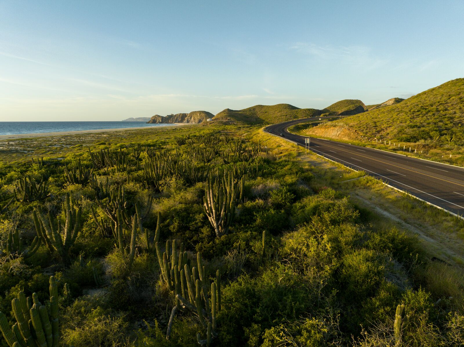
There were hours where nothing really changed. Desert on one side, ocean on the other, and a lot of straight driving. Someone mentioned how long the drive feels compared to what it looks like on the map, and that pretty much stuck for the rest of the day.
We stopped in a small roadside place for food that felt half empty, half busy in a strange way. Service was slow but nobody cared, we just needed a break from sitting in the car.
By the time we were deeper into Baja California, everything started blending together a bit. The coastline, the heat, the wind through open windows—it all felt like one continuous stretch rather than separate moments.
Best time to visit
The best time to explore the Baja California Desert Coastal Scenic Road Trip is typically during spring and summer months, when weather conditions are stable and visibility is high. However, autumn offers fewer crowds and more dramatic scenery.
Travel tips
- Carry extra fuel for remote sections
- Avoid driving midday in summer heat
- Plan for long distances between services
Why visit
- Scenic landscapes unique to Baja California
- Popular road trip destination in Mexico
- Great for photography
- Varied terrain and driving conditions
Driving Interpretation Layer
What this route means
How long is this route?
The route is approximately 981.2 km long, with an elevation gain of 5988 m.
How difficult is the drive?
This route is classified as Extreme, with a maximum gradient of 5.0%.
What kind of terrain does it have?
This is a relatively mild scenic route with steady and predictable driving conditions.
What makes this route unique?
The route combines elevation variation (5988 m total gain) with changing landscapes shaped by natural geography and road conditions.
What type of driver is this route best suited for?
This route is suitable for most drivers, including casual travelers looking for a scenic and relaxed drive.
Discovery Layer
More routes in Mexico
About Mexico →More similar scenic routes
Mexico Yucatán Peninsula Epic Coastal & Mayan Ruins Road Trip Experience
Long coastal and inland drive through beaches, cenotes and ancient Mayan archaeological sites

Pacific Coast Highway Coastal Scenic Drive
Iconic coastal drive along California's Pacific coastline.
Great Ocean Scenic Coastal Drive
Coastal road famous for Twelve Apostles rock formations.
Garden Route Scenic Coastal Drive
Coastal drive through forests, lagoons and beaches.
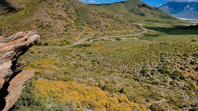
Extended Garden Route Scenic Drive
Extended coastal drive with beaches and forests.
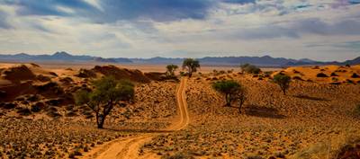
Namib Desert Dune Scenic Drive
Endless desert landscapes and red dunes.