
Route Identity
Atacama Desert Scenic Drive
Chile — Atacama
Overview Layer
Overview
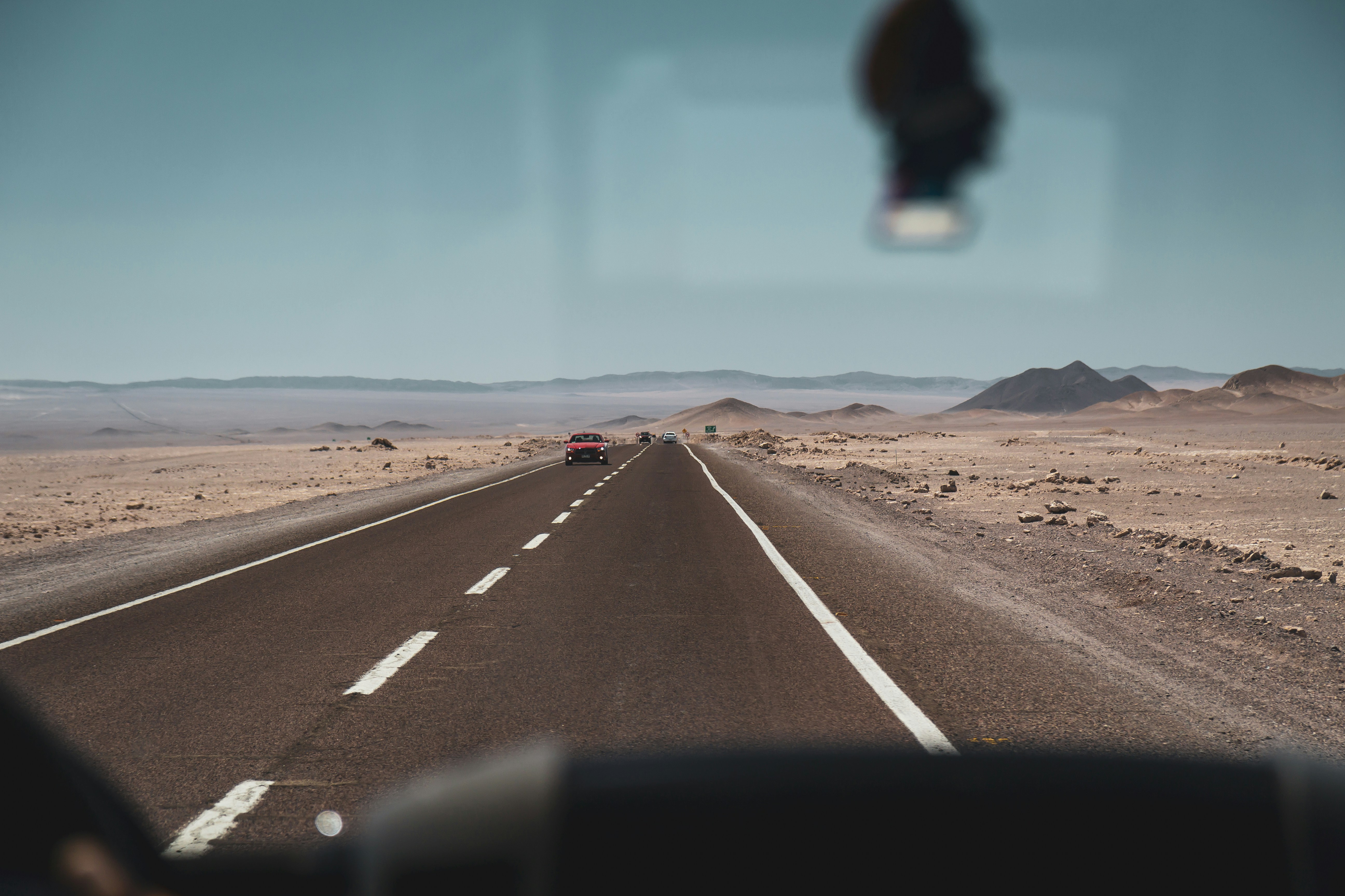
The Atacama Desert Drive in northern Chile is one of the most surreal road trips in South America, crossing the driest desert on Earth. The route passes vast salt flats, lunar-like valleys, volcanic peaks, and high-altitude plateaus. Around San Pedro de Atacama, travelers can explore some of the most extreme and visually striking landscapes in the world, where colors, textures, and emptiness define the journey.
Weather
Hyper-arid desert climate with extremely low annual precipitation, high solar radiation, and large temperature differences between day and night.
Seasonal Driving Conditions
Dry conditions with increasing daytime temperatures and strong diurnal variation.
- low precipitation levels
- large temperature variation between day and night
Warmest period with stable dry conditions and high solar radiation.
- high solar exposure
- stable dry road surfaces
Moderate temperatures with continued arid conditions.
- moderate temperatures
- consistent road accessibility
Cool nights with dry daytime conditions and minimal precipitation.
- cold nights
- generally stable driving conditions
Road conditions
Paved and gravel desert roads with generally stable surfaces; hazards include sand accumulation and reduced visibility during wind events.
Driving difficulty explained
Low to moderate difficulty due to stable roads but environmental extremes (heat and dryness).
Route Snapshot Layer
Route Snapshot
This is a scenic driving route in Atacama, Chile.
The route features moderate driving conditions.
It is classified as Hard and is best suited for general road trip travelers.
Points of Interest
Scenic viewpoints
- Laguna de Talar — 20 m from route (149.9 km from start)
- Piedras Rojas — 13 m from route (154.3 km from start)
- Laguna Miscanti — 41 m from route (203.3 km from start)
- Laguna Miñiques — 7 m from route (205.7 km from start)
Attractions along the route
- Trópico de Capricornio — 16 m from route (256.0 km from start)
Places to eat
- Abdala — 6 m from route (2.6 km from start)
- Camai Andrea — 4 m from route (323.1 km from start)
- Cafe esquina — 3 m from route (324.3 km from start)
- Ckunza tilar — 7 m from route (325.1 km from start)
Interesting stops
- Quilarcay — 17 m from route (1.0 km from start)
Actual Driving Track (GPX-data)
Download GPXGPS Data Layer
Measured Driving Route
This route is analyzed directly from GPX track data. It features a total distance of 326.0 km, with an elevation gain of 3297 m.
Route Structure
| Type | Distance (km) | Elevation Gain (m) | Avg Gradient (%) |
|---|---|---|---|
| flat | 216.57 km | 984 m | 0% |
| climb | 55.66 km | 2229 m | 3.9% |
| descent | 53.72 km | 84 m | -4.1% |
About this route
The Atacama Desert Scenic Drive is one of the most scenic driving experiences in Chile. Located in Atacama, this route offers a unique combination of landscapes, road conditions and natural highlights.
Stretching over 326.0 km, this drive takes approximately 7 hours.
This route is especially popular among travelers looking for road trips.
Travel Experience
The first thing that stood out was how quiet everything felt. Even with the car running, the landscape outside seemed completely still, like it wasn’t really reacting to our presence.
At a salt flat stop, the ground stretched so far in every direction that it was hard to understand where the horizon actually was. People walked away from their cars just to get a better sense of scale.
There were long sections where nothing changed for kilometers at a time. No villages, no trees, just open desert and distant mountains that barely shifted in size as we drove.
We stopped at a small roadside place that felt almost improvised, serving simple food and drinks to passing travelers. Everyone there seemed slightly sun-worn and quiet, like the desert had slowed them down.
By the end of the Atacama Desert Drive, the emptiness felt more noticeable than any landmark. It wasn’t about stops or viewpoints, but about the overwhelming sense of space that never really ended.
Best time to visit
The best time to explore the Atacama Desert Scenic Drive is typically during spring and summer months, when weather conditions are stable and visibility is high. However, autumn offers fewer crowds and more dramatic scenery.
Travel tips
- Carry sufficient water due to extreme aridity
- Expect strong temperature differences between day and night
- Monitor wind conditions affecting visibility
Why visit
- Scenic landscapes unique to Atacama
- Popular road trip destination in Chile
- Great for photography
- Varied terrain and driving conditions
Driving Interpretation Layer
What this route means
How long is this route?
The route is approximately 326.0 km long, with an elevation gain of 3297 m.
How difficult is the drive?
This route is classified as Hard, with a maximum gradient of 8.1%.
What kind of terrain does it have?
This is a high alpine mountain route with significant elevation changes and exposed terrain.
What makes this route unique?
The route combines elevation variation (3297 m total gain) with changing landscapes shaped by natural geography and road conditions.
What type of driver is this route best suited for?
This route is best suited for experienced drivers comfortable with steep gradients, narrow mountain roads, and changing weather conditions.
Discovery Layer
More routes in Chile
About Chile →More similar scenic routes
Salar de Uyuni High Altitude Scenic Drive
Driving across the world's largest salt flat.
Patagonia Lakes Scenic Route Drive
Remote Patagonian road with lakes and glaciers.
Carretera Austral Patagonian Scenic Highway
Remote Patagonian road through forests, fjords and glaciers.
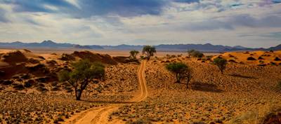
Namib Desert Dune Scenic Drive
Endless desert landscapes and red dunes.
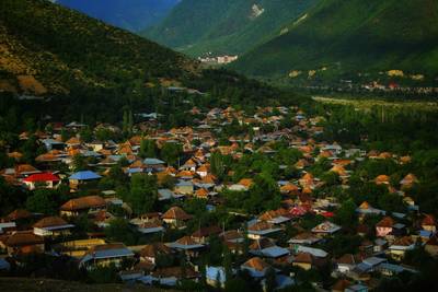
Gobustan Desert Scenic Drive
Desert landscapes and ancient rock carvings.
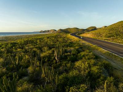
Baja California Desert Coastal Scenic Road Trip
Desert coastline road along Pacific Ocean.