
Route Identity
Red Centre Outback Desert Drive
Australia — Northern Territory
Overview Layer
Overview
Embark on the expansive Red Centre Way in Australia. This challenging desert road trip takes you through the iconic Red Centre, offering vast outback views and a journey across some of the world's most stunning desert landscapes.
Weather
Arid desert climate with extreme heat in summer and large diurnal temperature variation year-round.
Seasonal Driving Conditions
Warm but manageable daytime temperatures with dry desert conditions.
- moderate desert temperatures
- stable road conditions
Very high temperatures with extreme heat risk and dry atmospheric conditions.
- extreme heat exposure
- high thermal road surface temperatures
Cooling temperatures with stable and dry weather patterns.
- cooling daytime temperatures
- improved driving comfort
Mild daytime conditions with cold nights and clear skies.
- cold nights in desert regions
- clear visibility conditions
Road conditions
Long sealed highways with occasional unsealed access roads; generally stable dry surfaces.
Driving difficulty explained
Moderate difficulty due to long distances and extreme heat conditions.
Route Snapshot Layer
Route Snapshot
This is a scenic driving route in Northern Territory, Australia.
The route features moderate driving conditions.
It is classified as Extreme and is best suited for general road trip travelers.
Points of Interest
Scenic viewpoints
- Rainbow Valley — 96 m from route (232.7 km from start)
- Jessie Gap — 92 m from route (1002.8 km from start)
- Emily Gap — 105 m from route (1010.7 km from start)
Attractions along the route
- High Point — 51 m from route (610.3 km from start)
Places to eat
- Uncles Tavern — 16 m from route (0.1 km from start)
Interesting stops
- Stay at Alice Springs — 33 m from route (588.5 km from start)
Actual Driving Track (GPX-data)
Download GPXGPS Data Layer
Measured Driving Route
This route is analyzed directly from GPX track data. It features a total distance of 1025.8 km, with an elevation gain of 6970 m.
Route Structure
| Type | Distance (km) | Elevation Gain (m) | Avg Gradient (%) |
|---|---|---|---|
| flat | 1013.67 km | 6767 m | 0% |
| descent | 6.04 km | 27 m | -2.2% |
| climb | 6.08 km | 176 m | 2.5% |
About this route
The Red Centre Outback Desert Drive is one of the most scenic driving experiences in Australia. Located in Northern Territory, this route offers a unique combination of landscapes, road conditions and natural highlights.
Stretching over 1025.8 km, this drive takes approximately 21 hours.
This route is especially popular among travelers looking for road trips.
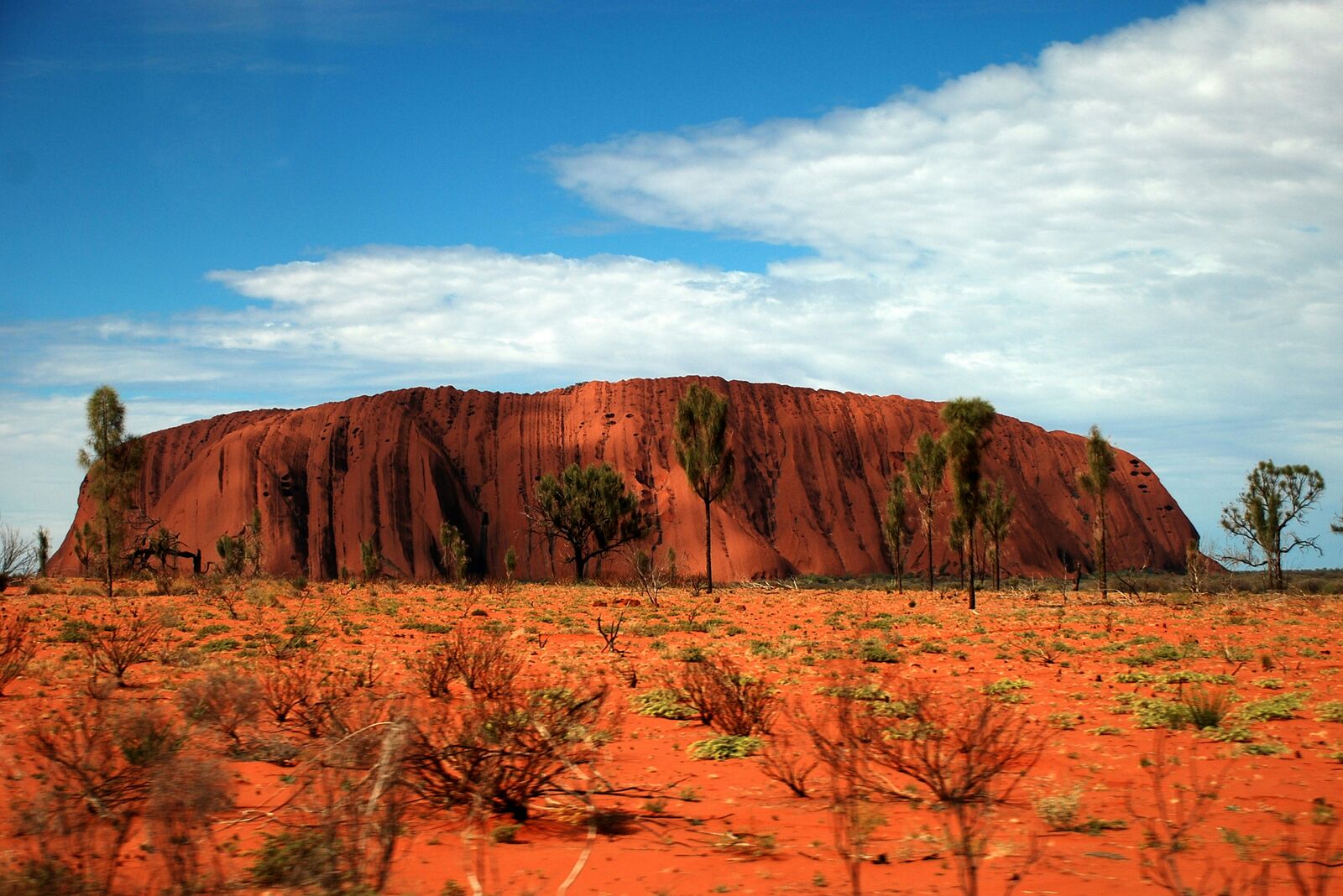
Travel Experience
We left pretty early because everyone said the heat gets worse later, but it was already warm enough that the car felt like it had been sitting in the sun too long.
At one stop near a lookout, there were a few other cars and people mostly just standing in silence. The landscape looked huge in a flat way, and we didn’t really stay long because there wasn’t much shade.
There was a long stretch where we just drove without seeing much else besides road and low red earth. Someone asked how long the drive feels in this kind of terrain, and nobody had a great answer, it just felt longer than the map suggested.
We stopped in a small place that seemed like it existed mainly for passing travelers. The food was basic, the air conditioning was the main reason we stayed as long as we did.
Later in the Red Centre Way, everything started to look both repetitive and different at the same time. Same colors, same open space, but somehow each section felt slightly shifted, like the desert was repeating itself with small changes we only noticed when we stopped paying attention.
Best time to visit
The best time to explore the Red Centre Outback Desert Drive is typically during spring and summer months, when weather conditions are stable and visibility is high. However, autumn offers fewer crowds and more dramatic scenery.
Travel tips
- Carry extra water due to desert conditions
- Avoid midday driving in peak summer heat
- Fuel planning is essential between settlements
Why visit
- Scenic landscapes unique to Northern Territory
- Popular road trip destination in Australia
- Great for photography
- Varied terrain and driving conditions
Driving Interpretation Layer
What this route means
How long is this route?
The route is approximately 1025.8 km long, with an elevation gain of 6970 m.
How difficult is the drive?
This route is classified as Extreme, with a maximum gradient of 2.9%.
What kind of terrain does it have?
This is a relatively mild scenic route with steady and predictable driving conditions.
What makes this route unique?
The route combines elevation variation (6970 m total gain) with changing landscapes shaped by natural geography and road conditions.
What type of driver is this route best suited for?
This route is suitable for most drivers, including casual travelers looking for a scenic and relaxed drive.
Discovery Layer
More routes in Australia
About Australia →
Great Ocean Scenic Coastal Drive
Coastal road famous for Twelve Apostles rock formations.
Tasmania Wilderness Scenic Drive
Wild nature drive through Tasmania’s forests and coasts.
Great Alpine Scenic Mountain Drive
Mountain road crossing Australian Alps.
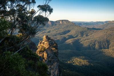
Blue Mountains Scenic Drive
Scenic drive through eucalyptus forests, waterfalls and dramatic sandstone cliffs of Blue Mountains National Park
More similar scenic routes
Great Ocean Scenic Coastal Drive
Coastal road famous for Twelve Apostles rock formations.
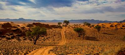
Namib Desert Dune Scenic Drive
Endless desert landscapes and red dunes.
Tasmania Wilderness Scenic Drive
Wild nature drive through Tasmania’s forests and coasts.
Great Alpine Scenic Mountain Drive
Mountain road crossing Australian Alps.
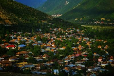
Gobustan Desert Scenic Drive
Desert landscapes and ancient rock carvings.
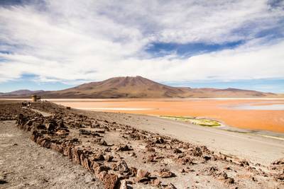
Salar de Uyuni High Altitude Scenic Drive
Driving across the world's largest salt flat.