
Route Identity
Jungfrau Region Alpine Scenic Drive
Switzerland — Bernese Alps
Overview Layer
Overview
The Jungfrau Region Drive in Switzerland moves through some of the most dramatic alpine scenery in Europe, with glaciers, steep valleys, and towering mountain walls. It is a route defined by constant elevation shifts and overwhelming natural scale.
Weather
High alpine Swiss climate with strong seasonal snow and rapid weather changes.
Seasonal Driving Conditions
Snowmelt period with wet alpine roads and partial access in higher valleys.
- snowmelt runoff
- wet alpine roads
Stable alpine weather with full access to mountain routes.
- best driving conditions
- open mountain passes
Cooling temperatures with fog in valleys and early snow at altitude.
- valley fog formation
- cool alpine air
Heavy snow with restricted alpine road access.
- snow-covered roads
- restricted access
Road conditions
Mountain roads with tunnels, steep gradients, and seasonal snow influence.
Driving difficulty explained
High difficulty due to elevation and seasonal alpine conditions.
Route Snapshot Layer
Route Snapshot
This is a scenic driving route in Bernese Alps, Switzerland.
The route features moderate driving conditions.
It is classified as Hard and is best suited for general road trip travelers.
Points of Interest
Attractions along the route
- permanente Jungfrau-Marathon Startlinie — 13 m from route (88.9 km from start)
Scenic viewpoints
- Foto-Spot Giessbachfall — 37 m from route (73.4 km from start)
Places to eat
- Seegarten — 17 m from route (38.7 km from start)
- Tandoori Restaurant — 5 m from route (89.5 km from start)
- Hoppla! Bistro — 10 m from route (89.8 km from start)
Interesting stops
- Böningen / Schiffländte — 6 m from route (85.3 km from start)
- Interlaken Ost — 6 m from route (87.7 km from start)
Actual Driving Track (GPX-data)
Download GPXGPS Data Layer
Measured Driving Route
This route is analyzed directly from GPX track data. It features a total distance of 100.4 km, with an elevation gain of 3109 m.
Route Structure
| Type | Distance (km) | Elevation Gain (m) | Avg Gradient (%) |
|---|---|---|---|
| descent | 20.15 km | 512 m | -3.5% |
| flat | 60.79 km | 1356 m | -0.1% |
| climb | 19.46 km | 1242 m | 3.9% |
About this route
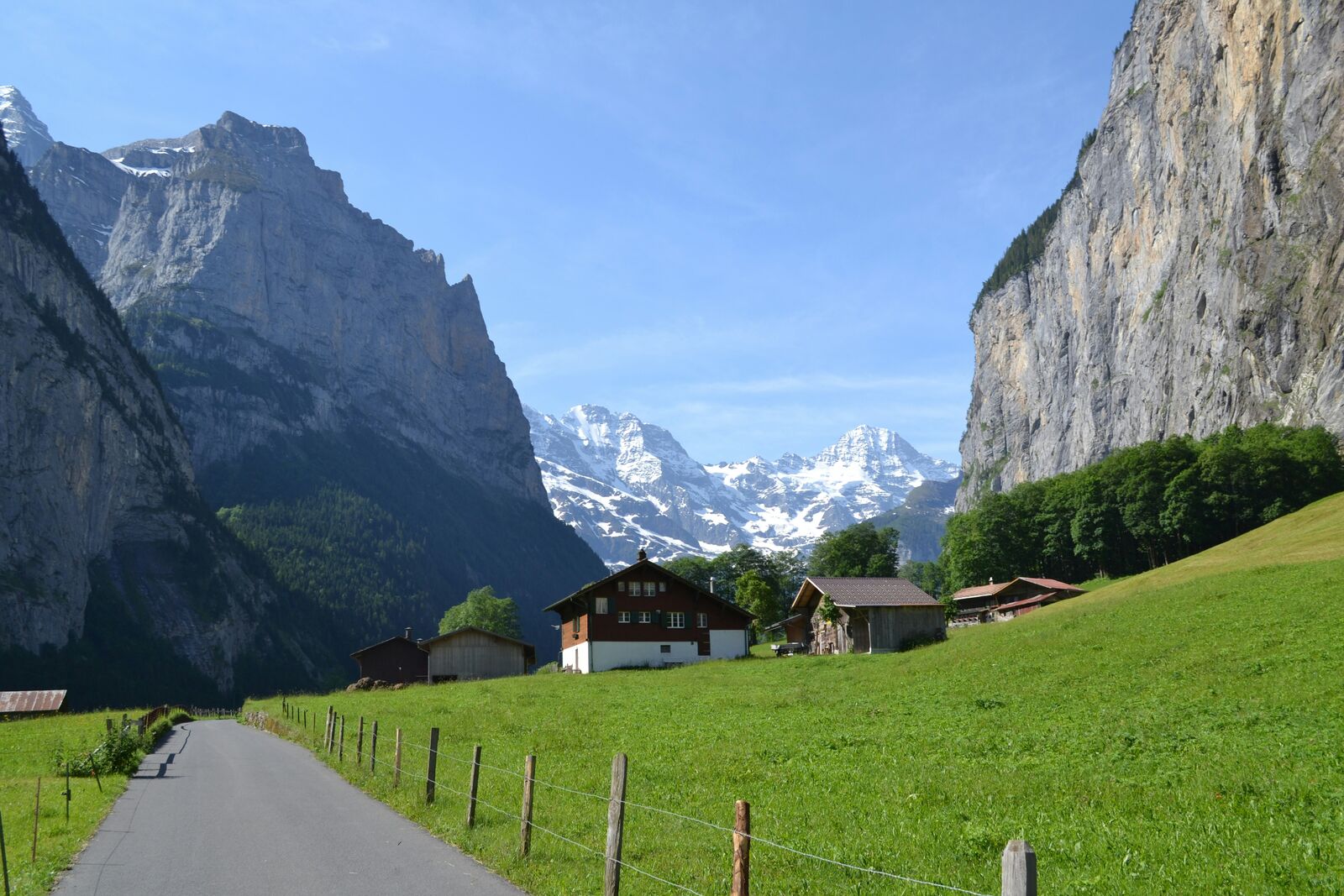
The Jungfrau Region Alpine Scenic Drive is one of the most scenic driving experiences in Switzerland. Located in Bernese Alps, this route offers a unique combination of landscapes, road conditions and natural highlights.
Stretching over 100.4 km, this drive takes approximately 3 hours.
This route is especially popular among travelers looking for road trips.
Travel Experience
We started out thinking it would be a smooth alpine drive, but pretty quickly the road felt like it was always either climbing or turning into something narrower than expected.
At one stop near a glacier viewpoint there were already a few cars and a lot of people just standing around in jackets, not really moving much. We stayed a short time, mostly because it was cold and there wasn’t much shelter from the wind.
There were stretches where the road kept cutting through valleys and then opening suddenly to massive walls of ice and rock. We didn’t really talk much, just slowed down often because the scenery kept interrupting the driving rhythm.
We stopped for food in a small village where everything felt tightly packed together—houses, roads, even parking. It took a while to get served, but nobody was in a rush, so it didn’t feel like waiting.
By the end of the Jungfrau Region Drive, it felt less like a single route and more like repeated encounters with glaciers and steep valleys between short sections of road. The scale was always there, but it came in bursts rather than one continuous panorama.
Best time to visit
The best time to explore the Jungfrau Region Alpine Scenic Drive is typically during spring and summer months, when weather conditions are stable and visibility is high. However, autumn offers fewer crowds and more dramatic scenery.
Travel tips
- Check pass openings before travel
- Expect sudden weather shifts
- Use caution on steep alpine sections
Why visit
- Scenic landscapes unique to Bernese Alps
- Popular road trip destination in Switzerland
- Great for photography
- Varied terrain and driving conditions
Driving Interpretation Layer
What this route means
How long is this route?
The route is approximately 100.4 km long, with an elevation gain of 3109 m.
How difficult is the drive?
This route is classified as Hard, with a maximum gradient of 8.7%.
What kind of terrain does it have?
This route features hilly terrain with several steep driving sections.
What makes this route unique?
The route combines elevation variation (3109 m total gain) with changing landscapes shaped by natural geography and road conditions.
What type of driver is this route best suited for?
This route is suitable for confident drivers who are comfortable with occasional steep sections and mountain terrain.
Discovery Layer
More routes in Switzerland
About Switzerland →
Furka Pass Scenic Alpine Drive
High alpine pass with glaciers and sharp curves
Bernina Pass Alpine Scenic Drive
High alpine crossing between Switzerland and Italy.
Gotthard Pass Historic Alpine Drive
Historic alpine pass with cobblestone sections, sharp bends and dramatic mountain scenery
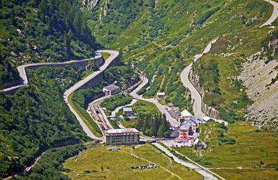
Grimsel Pass Alpine Reservoir Scenic Drive
Dramatic alpine pass with reservoirs, rocky landscapes and sharp switchbacks
More similar scenic routes
Bernina Pass Alpine Scenic Drive
High alpine crossing between Switzerland and Italy.
Gotthard Pass Historic Alpine Drive
Historic alpine pass with cobblestone sections, sharp bends and dramatic mountain scenery
Grimsel Pass Alpine Reservoir Scenic Drive
Dramatic alpine pass with reservoirs, rocky landscapes and sharp switchbacks
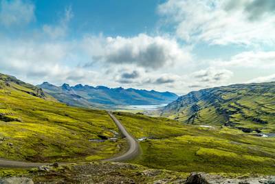
Iceland Ring Road Scenic Highway Drive
Complete loop around Iceland with glaciers and volcano landscapes

Route des Grandes Alpes Alpine Scenic Road Trip
High alpine route crossing multiple mountain passes.
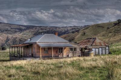
Great Alpine Scenic Mountain Drive
Mountain road crossing Australian Alps.