
Route Identity
Gotthard Pass Historic Alpine Drive
Switzerland — Swiss Alps
Overview Layer
Overview
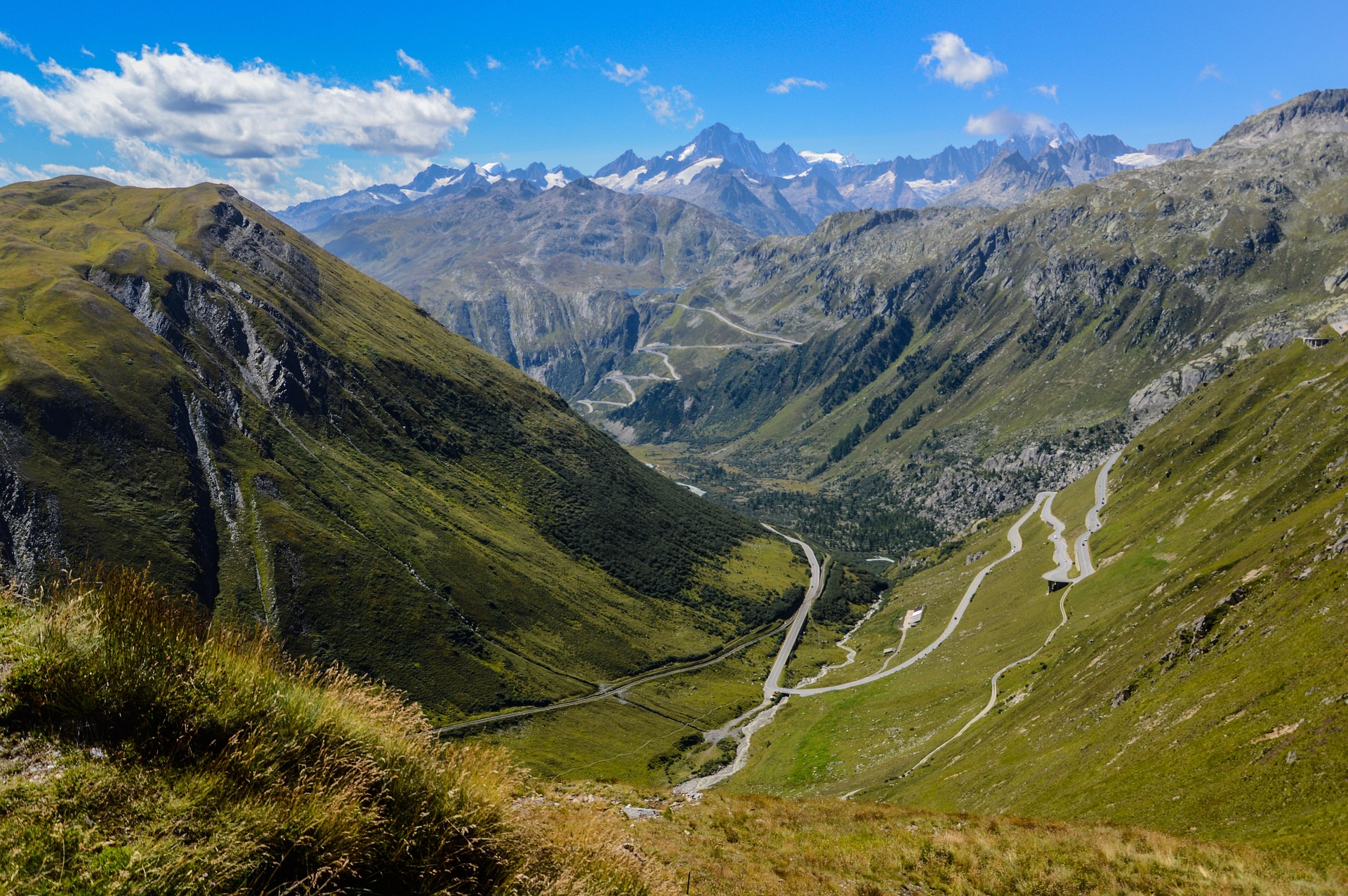
The Gotthard Pass in Switzerland is one of the most historic alpine crossings in the Swiss Alps, connecting northern and southern Switzerland through steep mountain terrain. Known for its old cobblestone sections, tight switchbacks, and dramatic valleys, it remains an iconic route for both its engineering history and alpine scenery, even alongside the modern tunnel route.
Weather
Alpine climate with strong seasonal variation, frequent precipitation, and significant snowfall in winter months.
Seasonal Driving Conditions
Gradual reopening period with remaining snow and maintenance activity at altitude.
- snow clearance operations
- variable road surface conditions
Full accessibility period with stable alpine road conditions.
- fully open alpine pass
- stable driving conditions
Cooling conditions with increasing precipitation and early snowfall risk.
- increasing snowfall risk
- reduced traffic volume
High pass often closed due to snow; tunnel route remains open year-round.
- pass closure at high elevation
- tunnel route as alternative
Road conditions
Paved alpine pass road with steep gradients, tunnels, and winter closures at high elevation sections.
Driving difficulty explained
Moderate difficulty due to steep alpine gradients and seasonal closures.
Route Snapshot Layer
Route Snapshot
This is a scenic driving route in Swiss Alps, Switzerland.
The route features moderate driving conditions.
It is classified as Moderate and is best suited for general road trip travelers.
Points of Interest
Scenic viewpoints
- Punto Panoramico della Val Bedretto — 21 m from route (17.7 km from start)
Places to eat
- Osteria Tremola San Gottardo — 9 m from route (8.3 km from start)
- Altkirch — 82 m from route (35.3 km from start)
Interesting stops
- Galleria Banchi — 12 m from route (20.2 km from start)
- Mätteli — 11 m from route (27.6 km from start)
- Gamssteg — 4 m from route (29.9 km from start)
- Reuss — 15 m from route (35.3 km from start)
Actual Driving Track (GPX-data)
Download GPXGPS Data Layer
Measured Driving Route
This route is analyzed directly from GPX track data. It features a total distance of 35.4 km, with an elevation gain of 1092 m.
Route Structure
| Type | Distance (km) | Elevation Gain (m) | Avg Gradient (%) |
|---|---|---|---|
| flat | 5.78 km | 65 m | 0.8% |
| climb | 19.39 km | 1027 m | 5.2% |
| descent | 10.25 km | 0 m | -6.2% |
About this route
The Gotthard Pass Historic Alpine Drive is one of the most scenic driving experiences in Switzerland. Located in Swiss Alps, this route offers a unique combination of landscapes, road conditions and natural highlights.
Stretching over 35.4 km, this drive takes approximately 1 hours.
This route is especially popular among travelers looking for road trips.
Travel Experience
We started on the newer road but kept noticing the old pass sections appearing above us, which made the drive feel like it had multiple layers from the beginning.
At one point we stopped near a bend where there was already a mix of cars and motorbikes pulled over. It wasn’t really a viewpoint with facilities, just a shared instinctive stop.
There were sections where the road felt rougher and more historical, with tighter corners and slower movement. We didn’t talk much, mostly just focused on navigating the bends and watching the valley drop away.
We stopped briefly for coffee at a small mountain café that felt slightly isolated, with people coming and going in short waves. Nothing particularly memorable happened, just a break before continuing downhill.
By the end of the Gotthard Pass, it felt less like a single scenic route and more like moving through different eras of alpine road design, from old cobblestone stretches to modern mountain highways layered on top of each other.
Best time to visit
The best time to explore the Gotthard Pass Historic Alpine Drive is typically during spring and summer months, when weather conditions are stable and visibility is high. However, autumn offers fewer crowds and more dramatic scenery.
Travel tips
- Verify pass vs tunnel route before departure
- Expect weather variability in alpine zones
- Check snow conditions in shoulder seasons
Why visit
- Scenic landscapes unique to Swiss Alps
- Popular road trip destination in Switzerland
- Great for photography
- Varied terrain and driving conditions
Driving Interpretation Layer
What this route means
How long is this route?
The route is approximately 35.4 km long, with an elevation gain of 1092 m.
How difficult is the drive?
This route is classified as Moderate, with a maximum gradient of 7.2%.
What kind of terrain does it have?
This is a high alpine mountain route with significant elevation changes and exposed terrain.
What makes this route unique?
The route combines elevation variation (1092 m total gain) with changing landscapes shaped by natural geography and road conditions.
What type of driver is this route best suited for?
This route is best suited for experienced drivers comfortable with steep gradients, narrow mountain roads, and changing weather conditions.
Discovery Layer
More routes in Switzerland
About Switzerland →
Furka Pass Scenic Alpine Drive
High alpine pass with glaciers and sharp curves
Bernina Pass Alpine Scenic Drive
High alpine crossing between Switzerland and Italy.
Jungfrau Region Alpine Scenic Drive
Glaciers, peaks and alpine valleys.
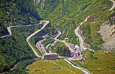
Grimsel Pass Alpine Reservoir Scenic Drive
Dramatic alpine pass with reservoirs, rocky landscapes and sharp switchbacks
More similar scenic routes
Bernina Pass Alpine Scenic Drive
High alpine crossing between Switzerland and Italy.
Jungfrau Region Alpine Scenic Drive
Glaciers, peaks and alpine valleys.
Grimsel Pass Alpine Reservoir Scenic Drive
Dramatic alpine pass with reservoirs, rocky landscapes and sharp switchbacks

Route des Grandes Alpes Alpine Scenic Road Trip
High alpine route crossing multiple mountain passes.
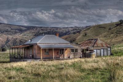
Great Alpine Scenic Mountain Drive
Mountain road crossing Australian Alps.
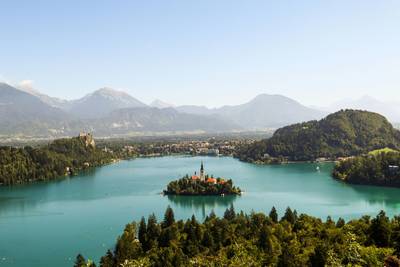
Lake Bled Scenic Loop Drive
Scenic alpine lake loop with castle views.