
Route Identity
Black Forest Scenic High Road Drive
Germany — Black Forest
Overview Layer
Overview
The Black Forest High Road in Germany (Schwarzwaldhochstraße) is a classic scenic driving route through the Black Forest region, offering elevated ridge roads, dense evergreen forests, and occasional open viewpoints toward the Rhine Valley and the Alps. Known for its accessible yet atmospheric mountain driving, it’s one of the most popular short scenic routes in southern Germany.
Weather
Temperate mountainous forest climate with moderate rainfall and seasonal fog formation.
Seasonal Driving Conditions
Mild temperatures with occasional rain and improving visibility in forested regions.
- moderate rainfall affecting traction
- improving visibility in forest corridors
Warm and stable conditions with generally dry roads.
- dry and stable road surfaces
- consistent driving conditions
Cool temperatures with increased precipitation and fog in forest valleys.
- frequent fog in valleys
- wet leaves affecting grip
Cold conditions with possible snow and icy road surfaces in elevated sections.
- snow and ice patches
- reduced traction in shaded areas
Road conditions
Well-paved winding roads through forested terrain with elevation changes and occasional wet surfaces.
Driving difficulty explained
Low to moderate difficulty due to winding forest roads and seasonal weather variability.
Route Snapshot Layer
Route Snapshot
This is a scenic driving route in Black Forest, Germany.
The route features moderate driving conditions.
It is classified as Hard and is best suited for general road trip travelers.
Points of Interest
Attractions along the route
- Mummelseetor Seebach — 43 m from route (32.5 km from start)
- Heilklimapforte Freudenstadt-Kniebis — 23 m from route (69.3 km from start)
Scenic viewpoints
- Aussichtsplattform Engelsfelsen — 82 m from route (14.4 km from start)
- Wiedenfelsen — 8 m from route (20.2 km from start)
- Mummelsee — 7 m from route (31.7 km from start)
Interesting stops
- Kirche Untertal — 10 m from route (12.2 km from start)
- Sagenrundweg Allerheiligen — 12 m from route (46.8 km from start)
Actual Driving Track (GPX-data)
Download GPXGPS Data Layer
Measured Driving Route
This route is analyzed directly from GPX track data. It features a total distance of 69.3 km, with an elevation gain of 2108 m.
Route Structure
| Type | Distance (km) | Elevation Gain (m) | Avg Gradient (%) |
|---|---|---|---|
| flat | 24.13 km | 483 m | 0.1% |
| climb | 25.51 km | 1478 m | 5.2% |
| descent | 19.66 km | 147 m | -3.1% |
About this route
The Black Forest Scenic High Road Drive is one of the most scenic driving experiences in Germany. Located in Black Forest, this route offers a unique combination of landscapes, road conditions and natural highlights.
Stretching over 69.3 km, this drive takes approximately 2 hours.
This route is especially popular among travelers looking for road trips.
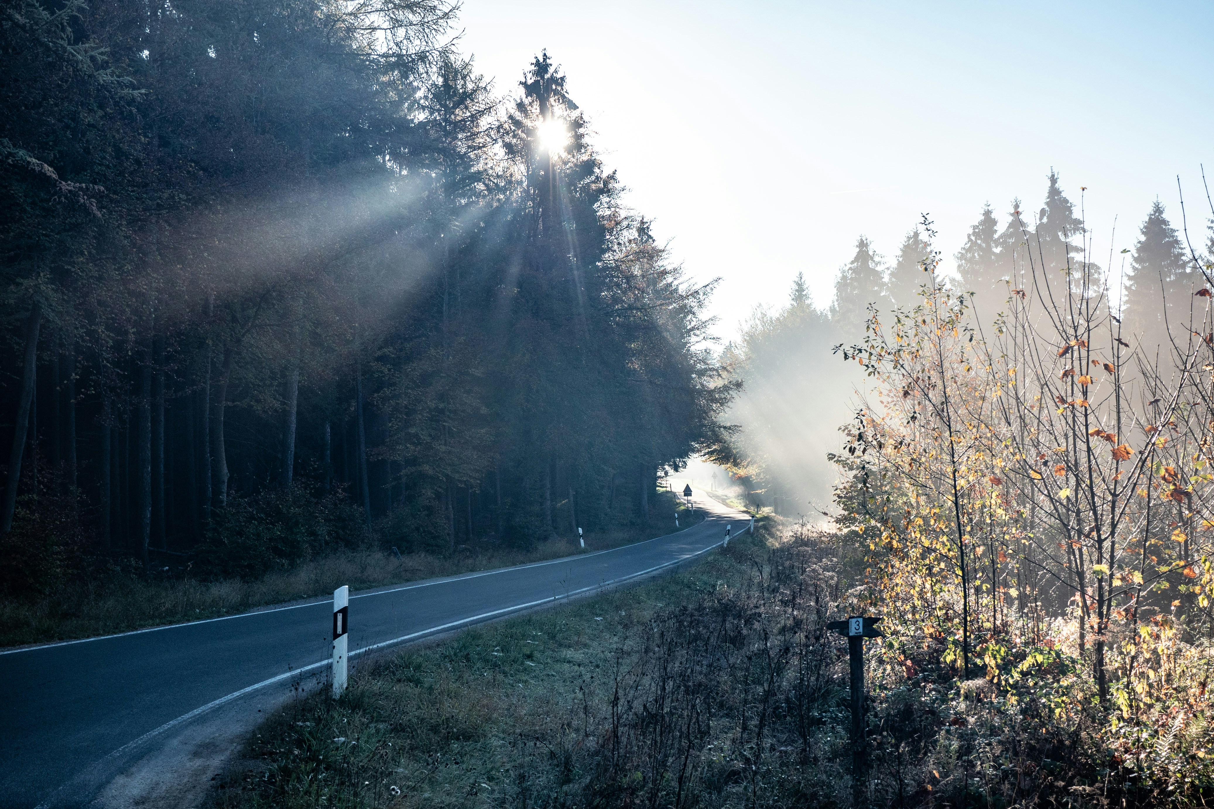
Travel Experience
We started climbing almost immediately after leaving the lower towns, and the road quickly narrowed into something that felt more like a forest corridor than a main route.
At one viewpoint there were only a few cars parked, and people were mostly just standing at the edge looking through gaps in the trees. We didn’t stay long because the wind picked up and it got colder than expected.
There were long stretches where everything was just dense forest on both sides with very few openings. We didn’t really talk much, just followed the road and occasionally slowed down for tight bends.
We stopped for coffee in a small roadside place that felt half empty, half used by passing drivers like us. Nothing really stood out, but it was warm and quiet inside, which was enough.
By the end of the Black Forest High Road, it felt like a short but steady transition through layered forest landscapes, where the viewpoints mattered less than the constant sense of being inside the trees the whole time.
Best time to visit
The best time to explore the Black Forest Scenic High Road Drive is typically during spring and summer months, when weather conditions are stable and visibility is high. However, autumn offers fewer crowds and more dramatic scenery.
Travel tips
- Watch for fog in early morning hours
- Be cautious of wet leaves in autumn
- Check winter tire requirements during cold months
Why visit
- Scenic landscapes unique to Black Forest
- Popular road trip destination in Germany
- Great for photography
- Varied terrain and driving conditions
Driving Interpretation Layer
What this route means
How long is this route?
The route is approximately 69.3 km long, with an elevation gain of 2108 m.
How difficult is the drive?
This route is classified as Hard, with a maximum gradient of 9.3%.
What kind of terrain does it have?
This route features hilly terrain with several steep driving sections.
What makes this route unique?
The route combines elevation variation (2108 m total gain) with changing landscapes shaped by natural geography and road conditions.
What type of driver is this route best suited for?
This route is suitable for confident drivers who are comfortable with occasional steep sections and mountain terrain.
Discovery Layer
More routes in Germany
About Germany →
More similar scenic routes

Blue Ridge Parkway Scenic Mountain Drive
Scenic mountain drive through the Appalachian Highlands.
Apuseni Mountains Scenic Drive
Forests, caves and rural mountain roads.
Vosges Mountain Scenic Drive
Forest-covered mountains and panoramic summits.
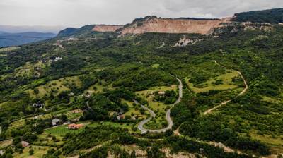
Bükk & Mátra Mountain Scenic Drive – Hungary’s Forested Highlands and Volcanic Peaks
Scenic drive through Hungary’s highest mountains, combining forested Bükk landscapes with volcanic Mátra peaks

Route des Grandes Alpes Alpine Scenic Road Trip
High alpine route crossing multiple mountain passes.

Icefields Parkway Rocky Mountain Scenic Drive
One of the most scenic drives in the Canadian Rockies.