
Route Identity
Vosges Mountain Scenic Drive
France — Grand Est
Overview Layer
Overview
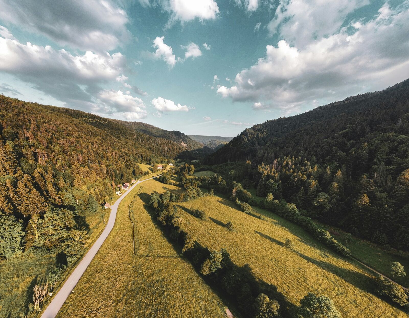
Travel through the scenic Vosges Mountains on a route known for forested ridges, mountain lakes, and sweeping viewpoints. It offers a quieter alternative to France’s more famous alpine roads.
Weather
Temperate mountain forest climate with moderate rainfall, cold winters, and frequent fog in valleys.
Seasonal Driving Conditions
Cool temperatures with melting snow at higher elevations and frequent forest moisture.
- snowmelt increases road moisture
- variable traction in shaded areas
Mild and stable conditions with generally dry forest and mountain roads.
- stable dry road surfaces
- clear forest visibility
Cool and fog-prone conditions with high humidity in forested valleys.
- frequent valley fog
- wet leaf accumulation on roads
Cold conditions with snow and ice in higher elevations and shaded forest roads.
- snow-covered sections
- icy shaded forest curves
Road conditions
Winding forested mountain roads with elevation changes and reduced traction in wet or icy conditions.
Driving difficulty explained
Low to moderate difficulty due to winding forest roads and seasonal fog and ice.
Route Snapshot Layer
Route Snapshot
This is a scenic driving route in Grand Est, France.
The route features moderate driving conditions.
It is classified as Extreme and is best suited for general road trip travelers.
Points of Interest
Attractions along the route
- Le Jardin de Berchigranges — 10 m from route (38.3 km from start)
- La Pierre Charlemagne — 26 m from route (54.9 km from start)
- Saut des Cuves — 47 m from route (55.4 km from start)
- Toboggan — 39 m from route (67.0 km from start)
Scenic viewpoints
- La Roche du Diable — 42 m from route (62.1 km from start)
- Chalet Hôtel Du Grand Ballon — 61 m from route (159.9 km from start)
Actual Driving Track (GPX-data)
Download GPXGPS Data Layer
Measured Driving Route
This route is analyzed directly from GPX track data. It features a total distance of 233.2 km, with an elevation gain of 6931 m.
Route Structure
| Type | Distance (km) | Elevation Gain (m) | Avg Gradient (%) |
|---|---|---|---|
| flat | 74.25 km | 1274 m | 0.1% |
| climb | 70.55 km | 4694 m | 5.6% |
| descent | 88.42 km | 964 m | -4.7% |
About this route
The Vosges Mountain Scenic Drive is one of the most scenic driving experiences in France. Located in Grand Est, this route offers a unique combination of landscapes, road conditions and natural highlights.
Stretching over 233.2 km, this drive takes approximately 5 hours.
This route is especially popular among travelers looking for road trips.
Travel Experience
Most of the drive passed through dense forest, with occasional openings that suddenly revealed huge views across the surrounding valleys. Those moments always caught us by surprise.
The road itself was enjoyable without being particularly difficult. There were plenty of curves, but nothing that required constant concentration or felt stressful.
Several viewpoints were almost empty despite the good weather. It was refreshing after visiting places where every parking area is packed with tourists.
The higher sections were noticeably cooler than the valleys below. We ended up putting on jackets after spending most of the morning thinking we wouldn't need them.
The Vosges Mountain Route felt understated compared with the Alps. Instead of dramatic cliffs and famous landmarks, it offers long stretches of quiet mountain scenery and very little distraction.
Best time to visit
The best time to explore the Vosges Mountain Scenic Drive is typically during spring and summer months, when weather conditions are stable and visibility is high. However, autumn offers fewer crowds and more dramatic scenery.
Travel tips
- Drive carefully in fog-prone valleys
- Watch for wet leaves in autumn
- Check winter tire requirements during cold months
Why visit
- Scenic landscapes unique to Grand Est
- Popular road trip destination in France
- Great for photography
- Varied terrain and driving conditions
Driving Interpretation Layer
What this route means
How long is this route?
The route is approximately 233.2 km long, with an elevation gain of 6931 m.
How difficult is the drive?
This route is classified as Extreme, with a maximum gradient of 10.0%.
What kind of terrain does it have?
This route features hilly terrain with several steep driving sections.
What makes this route unique?
The route combines elevation variation (6931 m total gain) with changing landscapes shaped by natural geography and road conditions.
What type of driver is this route best suited for?
This route is best suited for experienced drivers comfortable with steep gradients, narrow mountain roads, and changing weather conditions.
Discovery Layer
More routes in France
About France →
Route des Grandes Alpes Alpine Scenic Road Trip
High alpine route crossing multiple mountain passes.

Provence Lavender Scenic Drive
Lavender fields and charming French villages.
Corsica Mountain Scenic Loop Drive
Dramatic mountain roads across Corsica.
Alsace Wine Route Scenic Drive
Vineyards, half-timbered villages and rolling hills.
Verdon Gorge Canyon Scenic Drive
Dramatic canyon roads above turquoise waters.
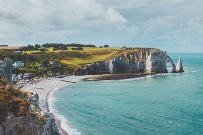
French Riviera Coastal Scenic Drive
Mediterranean coastline, beaches and seaside towns.
More similar scenic routes
Route des Grandes Alpes Alpine Scenic Road Trip
High alpine route crossing multiple mountain passes.

Blue Ridge Parkway Scenic Mountain Drive
Scenic mountain drive through the Appalachian Highlands.
Corsica Mountain Scenic Loop Drive
Dramatic mountain roads across Corsica.
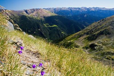
Pyrenees Alpine Scenic Drive
High mountain drive between Spain and France.
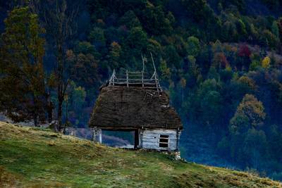
Apuseni Mountains Scenic Drive
Forests, caves and rural mountain roads.
Verdon Gorge Canyon Scenic Drive
Dramatic canyon roads above turquoise waters.