
Route Identity
Bükk & Mátra Mountain Scenic Drive – Hungary’s Forested Highlands and Volcanic Peaks
Hungary — Northern Hungary
Overview Layer
Overview
The Bükk & Mátra Mountain Scenic Drive explores Northern Hungary’s two main mountain regions in a single route. The Bükk Mountains are known for dense beech forests, caves, and limestone plateaus, while the Mátra range features volcanic peaks and Hungary’s highest point. Together, they offer a varied but accessible driving experience through some of the country’s most natural and elevated landscapes.
Weather
Temperate continental climate with moderate precipitation and seasonal variation influenced by forested highlands.
Seasonal Driving Conditions
Mild temperatures with moderate rainfall and forest bloom conditions.
- moderate rainfall
- increasing vegetation density
Warm and stable conditions with generally dry forest roads.
- stable road conditions
- dry forest routes
Cooling temperatures with stable dry conditions and foliage changes.
- stable visibility
- low precipitation levels
Cold conditions with occasional snow in higher elevations.
- light snow in higher elevations
- reduced traction in shaded forest sections
Road conditions
Paved and forest mountain roads with moderate elevation and generally stable year-round accessibility.
Driving difficulty explained
Low to moderate difficulty due to well-maintained mountain roads.
Route Snapshot Layer
Route Snapshot
This is a scenic driving route in Northern Hungary, Hungary.
The route features moderate driving conditions.
It is classified as Extreme and is best suited for general road trip travelers.
Points of Interest
Attractions along the route
- Naphimnusz park — 42 m from route (43.2 km from start)
- Cave of Lillafüredi Tunnel — 13 m from route (161.9 km from start)
Scenic viewpoints
- kilátás — 8 m from route (140.4 km from start)
- kilátás — 4 m from route (143.4 km from start)
- Lillafüred — 81 m from route (162.8 km from start)
Actual Driving Track (GPX-data)
Download GPXGPS Data Layer
Measured Driving Route
This route is analyzed directly from GPX track data. It features a total distance of 180.4 km, with an elevation gain of 4769 m.
Route Structure
| Type | Distance (km) | Elevation Gain (m) | Avg Gradient (%) |
|---|---|---|---|
| flat | 80.82 km | 1493 m | -0.4% |
| climb | 52.75 km | 2587 m | 3.9% |
| descent | 46.8 km | 688 m | -3.9% |
About this route
The Bükk & Mátra Mountain Scenic Drive – Hungary’s Forested Highlands and Volcanic Peaks is one of the most scenic driving experiences in Hungary. Located in Northern Hungary, this route offers a unique combination of landscapes, road conditions and natural highlights.
Stretching over 180.4 km, this drive takes approximately 4 hours.
This route is especially popular among travelers looking for road trips.
Travel Experience
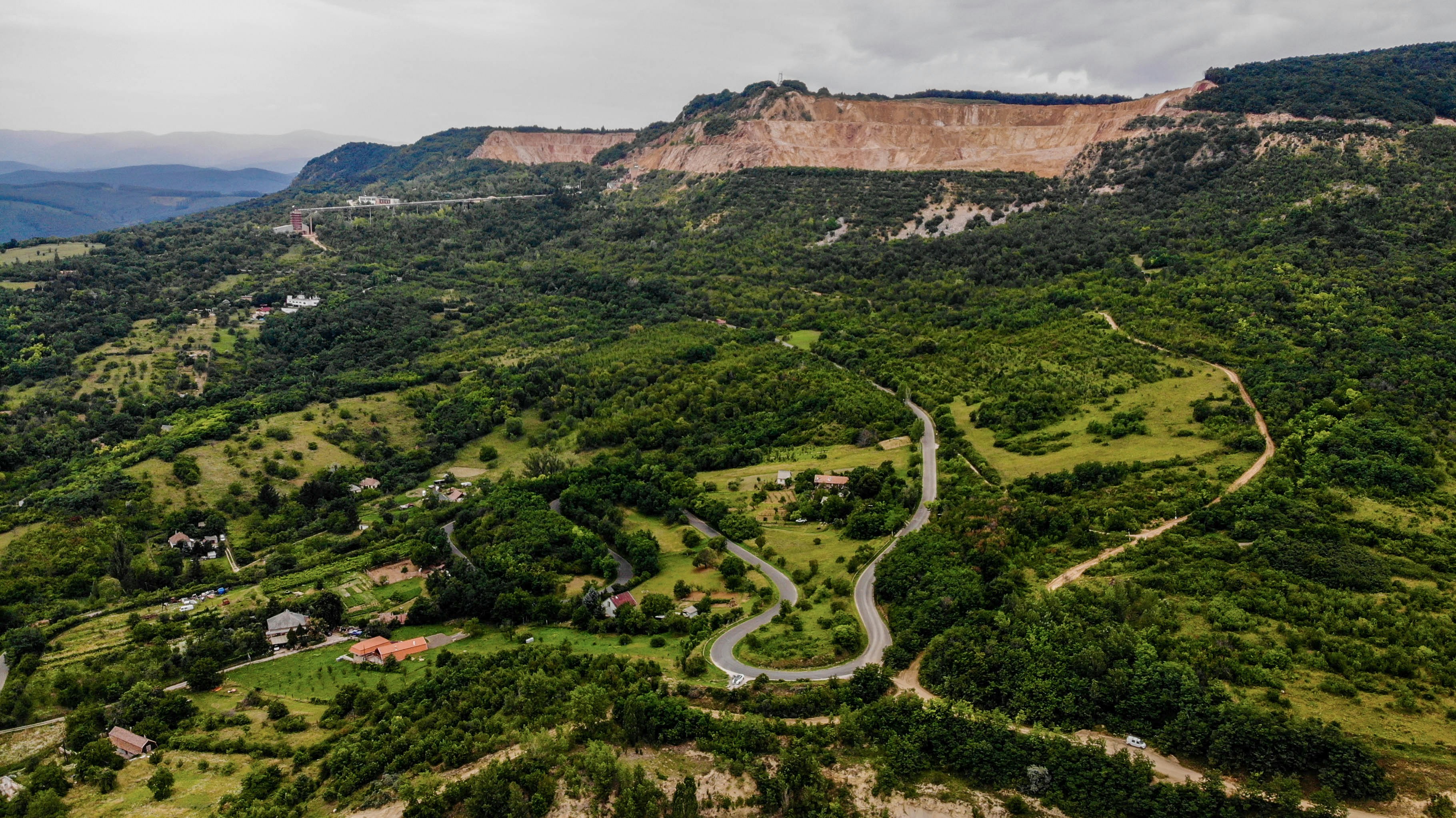
The drive begins in gently rolling countryside, where the transition into mountainous terrain feels gradual rather than abrupt.
In the Bükk section, the road becomes more enclosed by dense forests, with occasional clearings that reveal limestone cliffs and quiet valleys.
As the route moves toward the Mátra Mountains, the landscape shifts slightly, with higher volcanic peaks and more open ridgelines.
We stopped in a few small villages where the atmosphere felt calm and local, with very little traffic and a slow rhythm of daily life.
By the end of the Bükk & Mátra drive, what stood out most was the contrast between the two mountain regions — one softer and forested, the other more open and volcanic in character.
Best time to visit
The best time to explore the Bükk & Mátra Mountain Scenic Drive – Hungary’s Forested Highlands and Volcanic Peaks is typically during spring and summer months, when weather conditions are stable and visibility is high. However, autumn offers fewer crowds and more dramatic scenery.
Travel tips
- Expect reduced visibility in dense forest areas
- Monitor weather in higher elevations
- Allow extra time for scenic stops
Why visit
- Scenic landscapes unique to Northern Hungary
- Popular road trip destination in Hungary
- Great for photography
- Varied terrain and driving conditions
Driving Interpretation Layer
What this route means
How long is this route?
The route is approximately 180.4 km long, with an elevation gain of 4769 m.
How difficult is the drive?
This route is classified as Extreme, with a maximum gradient of 8.9%.
What kind of terrain does it have?
This route features hilly terrain with several steep driving sections.
What makes this route unique?
The route combines elevation variation (4769 m total gain) with changing landscapes shaped by natural geography and road conditions.
What type of driver is this route best suited for?
This route is suitable for confident drivers who are comfortable with occasional steep sections and mountain terrain.
Discovery Layer
More routes in Hungary
About Hungary →
More similar scenic routes

Blue Ridge Parkway Scenic Mountain Drive
Scenic mountain drive through the Appalachian Highlands.
Apuseni Mountains Scenic Drive
Forests, caves and rural mountain roads.
Vosges Mountain Scenic Drive
Forest-covered mountains and panoramic summits.
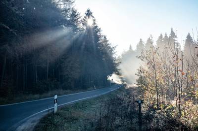
Black Forest Scenic High Road Drive
Scenic ridge drive through dense Black Forest landscapes with occasional alpine views

Route des Grandes Alpes Alpine Scenic Road Trip
High alpine route crossing multiple mountain passes.

Icefields Parkway Rocky Mountain Scenic Drive
One of the most scenic drives in the Canadian Rockies.