
Route Identity
Hardanger Scenic Route
Norway — Hardangerfjord
Overview Layer
Overview
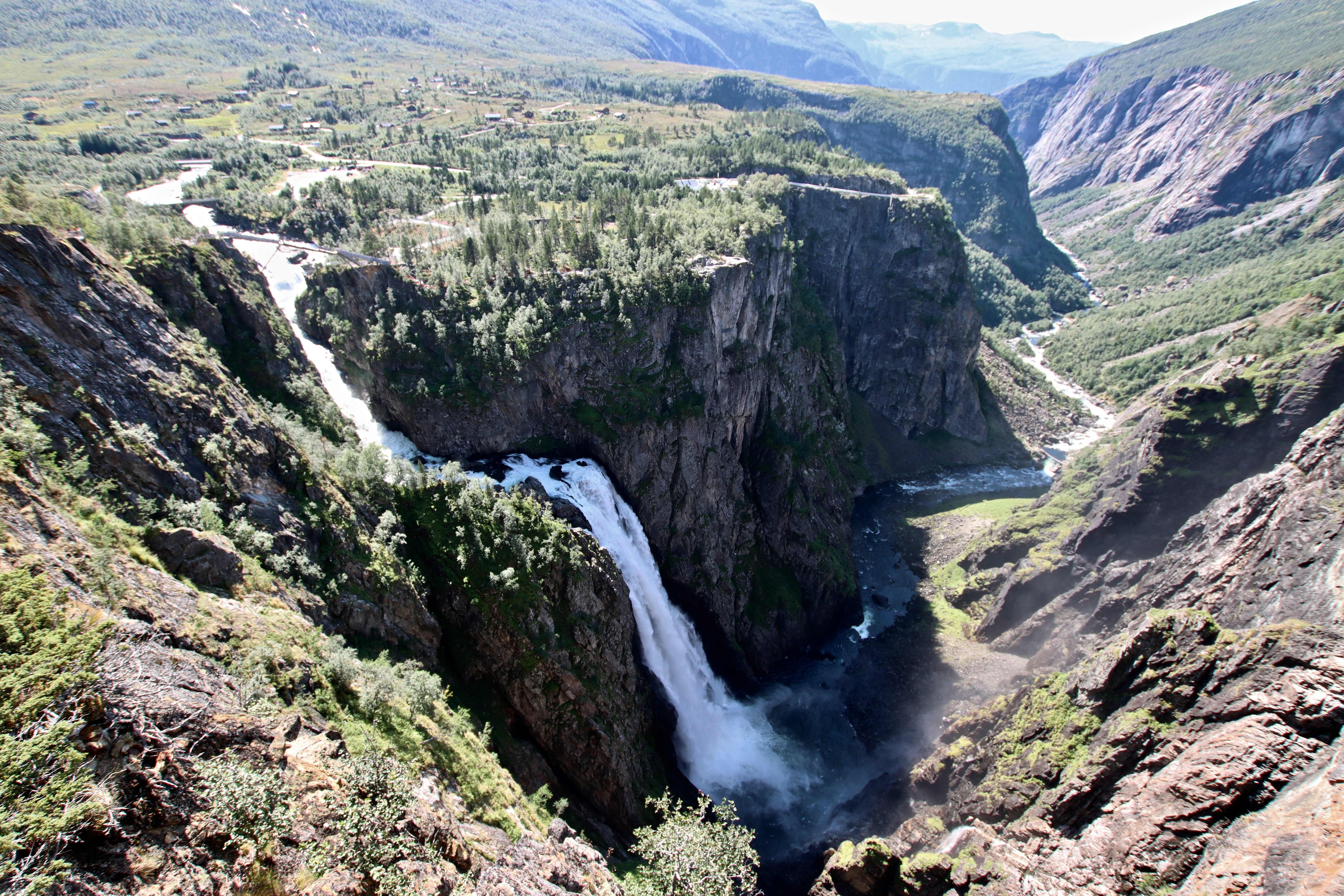
The Hardanger Scenic Route in Norway follows the edges of Hardangerfjord, one of the country’s most famous fjords. The drive is known for its combination of deep blue waters, steep mountains, waterfalls cascading down cliffs, and fruit orchards along the fjord valleys. It is one of Norway’s official National Scenic Routes and offers a balanced mix of coastal fjord views and inland mountain landscapes.
Weather
Fjord coastal climate with strong precipitation, rapid weather changes, and seasonal snow in higher terrain.
Seasonal Driving Conditions
Snowmelt period with high river flow and wet road conditions in fjord valleys.
- snowmelt increases river flow
- wet road surfaces
Mild coastal fjord climate with stable access and long daylight hours.
- stable fjord access
- reduced precipitation frequency
High rainfall frequency with storm systems and reduced visibility in fjords.
- frequent storms
- reduced visibility in fjord areas
Cold conditions with snow and ice in inland and mountain sections.
- snow and ice in mountain sections
- possible ferry delays
Road conditions
Coastal and mountain roads with ferries, tunnels, steep climbs, and seasonal ice in winter.
Driving difficulty explained
Moderate to high difficulty due to steep terrain, ferries, and rapidly changing weather.
Route Snapshot Layer
Route Snapshot
This is a scenic driving route in Hardangerfjord, Norway.
The route features moderate driving conditions.
It is classified as Extreme and is best suited for general road trip travelers.
Points of Interest
Attractions along the route
- Hereiane — 28 m from route (82.4 km from start)
- Brureika — 8 m from route (102.1 km from start)
- Låtefossen — 44 m from route (171.5 km from start)
Scenic viewpoints
- Mot Jordalen — 12 m from route (160.3 km from start)
- Grønnsdalsfossen — 15 m from route (169.7 km from start)
Places to eat
- Sånn Mat — 8 m from route (54.3 km from start)
- Glacier — 11 m from route (156.9 km from start)
Actual Driving Track (GPX-data)
Download GPXGPS Data Layer
Measured Driving Route
This route is analyzed directly from GPX track data. It features a total distance of 171.5 km, with an elevation gain of 5615 m.
Route Structure
| Type | Distance (km) | Elevation Gain (m) | Avg Gradient (%) |
|---|---|---|---|
| flat | 132.7 km | 3030 m | 0% |
| climb | 24.62 km | 2082 m | 6.1% |
| descent | 14.18 km | 518 m | -8.6% |
About this route
The Hardanger Scenic Route is one of the most scenic driving experiences in Norway. Located in Hardangerfjord, this route offers a unique combination of landscapes, road conditions and natural highlights.
Stretching over 171.5 km, this drive takes approximately 4 hours.
This route is especially popular among travelers looking for road trips.
Travel Experience
We started driving along the fjord and it didn’t take long before the water became a constant presence on one side of the road, almost like it was following us.
At one waterfall stop there were already a few cars parked, but the sound of the water was louder than anything else. We stayed longer than planned just watching it fall straight down the rock face.
There were stretches where the road moved through small villages and then immediately opened back up to wide fjord views. The transitions felt very abrupt, but in a good way.
We stopped for food in a roadside café that seemed mostly used by locals and ferry travelers. Everything felt calm and unhurried, even though people were coming and going regularly.
By the end of the Hardanger Scenic Route, the impression that stayed strongest was the scale of the fjord itself. The road didn’t feel separate from the landscape — it felt like it was just tracing the edge of something much larger.
Best time to visit
The best time to explore the Hardanger Scenic Route is typically during spring and summer months, when weather conditions are stable and visibility is high. However, autumn offers fewer crowds and more dramatic scenery.
Travel tips
- Check ferry schedules in advance
- Expect sudden weather changes in fjord valleys
- Use caution on icy mountain sections
Why visit
- Scenic landscapes unique to Hardangerfjord
- Popular road trip destination in Norway
- Great for photography
- Varied terrain and driving conditions
Driving Interpretation Layer
What this route means
How long is this route?
The route is approximately 171.5 km long, with an elevation gain of 5615 m.
How difficult is the drive?
This route is classified as Extreme, with a maximum gradient of 25.1%.
What kind of terrain does it have?
This route features hilly terrain with several steep driving sections.
What makes this route unique?
The route combines elevation variation (5615 m total gain) with changing landscapes shaped by natural geography and road conditions.
What type of driver is this route best suited for?
This route is best suited for experienced drivers comfortable with steep gradients, narrow mountain roads, and changing weather conditions.
Discovery Layer
More routes in Norway
About Norway →
Atlantic Ocean Road Scenic Drive
Road across islands and bridges over the Atlantic Ocean
Trollstigen Mountain Pass Scenic Drive
Famous mountain road with steep hairpin bends and waterfalls
Norwegian Fjords Scenic Drive
Epic fjord landscapes with cliffs and waterfalls.
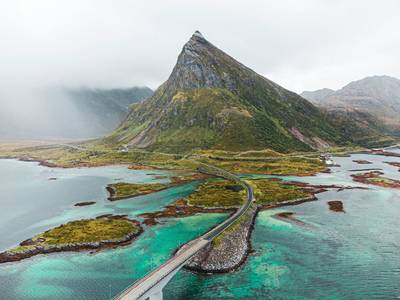
Lofoten Islands Scenic Coastal Drive
Arctic islands with dramatic peaks and fishing villages.
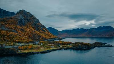
Senja Scenic Route
Wild Arctic island road with sharp peaks, fjords and dramatic coastal viewpoints
More similar scenic routes
Trollstigen Mountain Pass Scenic Drive
Famous mountain road with steep hairpin bends and waterfalls
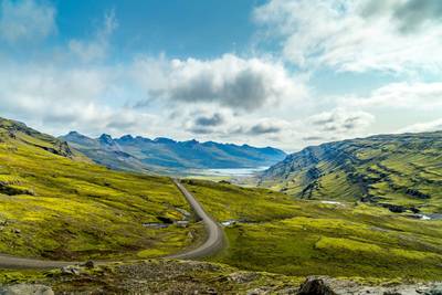
Iceland Ring Road Scenic Highway Drive
Complete loop around Iceland with glaciers and volcano landscapes
Norwegian Fjords Scenic Drive
Epic fjord landscapes with cliffs and waterfalls.
Lofoten Islands Scenic Coastal Drive
Arctic islands with dramatic peaks and fishing villages.
Senja Scenic Route
Wild Arctic island road with sharp peaks, fjords and dramatic coastal viewpoints