
Route Identity
Corsica Mountain Scenic Loop Drive
France — Corsica
Overview Layer
Overview
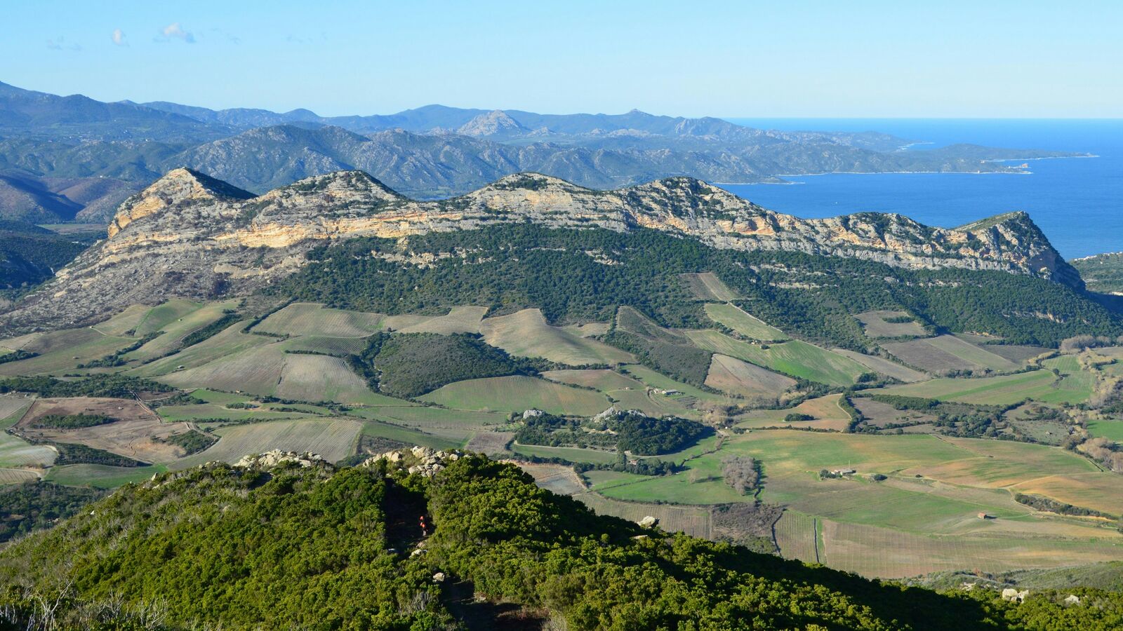
Tackle the challenging Corsica Mountain Loop in France. This scenic road trip traverses dramatic mountain passes and wild coastal scenery, offering a hard but rewarding adventure through the heart of the Mediterranean.
Weather
Mediterranean island climate with hot dry summers and wetter winters, combined with strong mountain microclimates.
Seasonal Driving Conditions
Mild conditions with increasing rainfall and remaining snow at higher elevations.
- melting snow in higher elevations
- moderate rainfall affecting traction
Hot and dry conditions in lowlands with stable mountain access.
- dry asphalt conditions
- stable mountain visibility
Cooling temperatures with increased storm activity and rainfall.
- increasing rainfall events
- cooling temperatures in uplands
Cold conditions with snow in high mountains and reduced accessibility in inland routes.
- snow in high altitude zones
- reduced access in mountain interiors
Road conditions
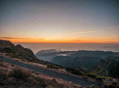
Narrow winding mountain roads with steep gradients and sharp bends; surface conditions vary with seasonal rain.
Driving difficulty explained
High difficulty due to narrow roads, steep gradients, and rapid weather changes in mountains.
Route Snapshot Layer
Route Snapshot
This is a scenic driving route in Corsica, France.
The route features moderate driving conditions.
It is classified as Extreme and is best suited for general road trip travelers.
Points of Interest
Attractions along the route
- Maison de Napoléon Bonaparte — 2 m from route (370.0 km from start)
Scenic viewpoints
- Col de Teghime — 93 m from route (6.5 km from start)
Cafés and stops
- Coffe Cortenais — 17 m from route (519.5 km from start)
Places to eat
- La Caravelle — 24 m from route (369.7 km from start)
Interesting stops
- Office de tourisme — 22 m from route (383.5 km from start)
Actual Driving Track (GPX-data)
Download GPXGPS Data Layer
Measured Driving Route
This route is analyzed directly from GPX track data. It features a total distance of 714.3 km, with an elevation gain of 7851 m.
Route Structure
| Type | Distance (km) | Elevation Gain (m) | Avg Gradient (%) |
|---|---|---|---|
| climb | 97.26 km | 5417 m | 5.5% |
| descent | 126.16 km | 180 m | -4.4% |
| flat | 490.93 km | 2255 m | 0.1% |
About this route
The Corsica Mountain Scenic Loop Drive is one of the most scenic driving experiences in France. Located in Corsica, this route offers a unique combination of landscapes, road conditions and natural highlights.
Stretching over 714.3 km, this drive takes approximately 15 hours.
This route is especially popular among travelers looking for road trips.
Travel Experience
We started out thinking it would be a quick loop, but pretty early on the roads felt tighter and slower than expected. A lot of hairpins, and not much room to relax between them.
At one stop there was just a small pull-off with space for a few cars. People were mostly just standing around stretching their legs and looking down into the valleys. We didn’t stay long because it was hot and there wasn’t much shade.
There was a long section where we didn’t really talk much. Just concentrating on the road, occasional sheep near the edges, and the feeling that the next turn might come faster than you expect.
We stopped in a small village for food and it felt like the whole place was moving at a different pace. Service was slow, but nobody was really in a hurry anyway, so it kind of matched the mood.
By the time we finished the loop, I remember feeling more tired than I thought I would from such a short distance. It wasn’t the length of the drive, just the constant attention the mountain roads demanded the whole time.
Best time to visit
The best time to explore the Corsica Mountain Scenic Loop Drive is typically during spring and summer months, when weather conditions are stable and visibility is high. However, autumn offers fewer crowds and more dramatic scenery.
Travel tips
- Use low gear on steep descents
- Avoid driving after heavy rain due to rockfall risk
- Plan fuel stops carefully in remote inland areas
Why visit
- Scenic landscapes unique to Corsica
- Popular road trip destination in France
- Great for photography
- Varied terrain and driving conditions
Driving Interpretation Layer
What this route means
How long is this route?
The route is approximately 714.3 km long, with an elevation gain of 7851 m.
How difficult is the drive?
This route is classified as Extreme, with a maximum gradient of 12.7%.
What kind of terrain does it have?
This route features hilly terrain with several steep driving sections.
What makes this route unique?
The route combines elevation variation (7851 m total gain) with changing landscapes shaped by natural geography and road conditions.
What type of driver is this route best suited for?
This route is best suited for experienced drivers comfortable with steep gradients, narrow mountain roads, and changing weather conditions.
Discovery Layer
More routes in France
About France →
Route des Grandes Alpes Alpine Scenic Road Trip
High alpine route crossing multiple mountain passes.

Provence Lavender Scenic Drive
Lavender fields and charming French villages.
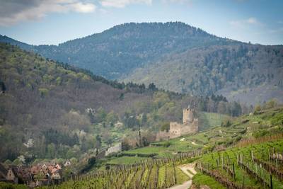
Alsace Wine Route Scenic Drive
Vineyards, half-timbered villages and rolling hills.
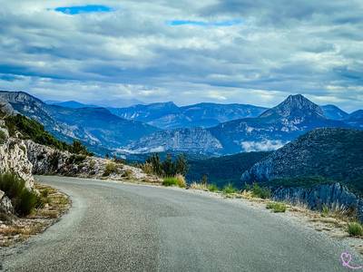
Verdon Gorge Canyon Scenic Drive
Dramatic canyon roads above turquoise waters.
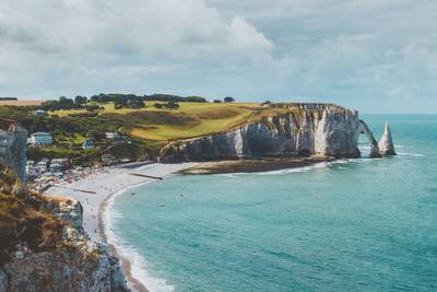
French Riviera Coastal Scenic Drive
Mediterranean coastline, beaches and seaside towns.
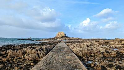
Mont Saint-Michel Brittany Coastal Drive
Historic coastline and iconic island abbey.
More similar scenic routes
Route des Grandes Alpes Alpine Scenic Road Trip
High alpine route crossing multiple mountain passes.
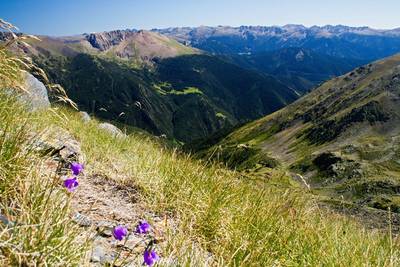
Pyrenees Alpine Scenic Drive
High mountain drive between Spain and France.
Verdon Gorge Canyon Scenic Drive
Dramatic canyon roads above turquoise waters.
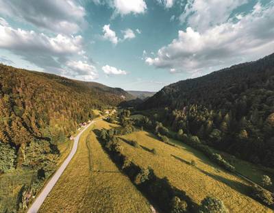
Vosges Mountain Scenic Drive
Forest-covered mountains and panoramic summits.
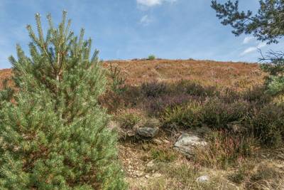
Cévennes National Park Scenic Drive
Remote mountains, valleys and historic villages.
Madeira Island Scenic Mountain Drive
Volcanic island roads, dramatic cliffs and lush mountain scenery