
Route Identity
Verdon Gorge Canyon Scenic Drive
France — Provence-Alpes-Côte d'Azur
Overview Layer
Overview
Drive along the spectacular Verdon Gorge, often called the Grand Canyon of Europe. This route combines dramatic cliffside roads, deep limestone canyons, and stunning views over turquoise waters.
Weather
Mediterranean inland canyon climate with hot dry summers, mild winters, and strong seasonal contrast in rainfall.
Seasonal Driving Conditions
Mild temperatures with increasing river flow from snowmelt in upper catchment areas.
- increased river flow in canyon areas
- moderate rainfall improving landscape moisture
Hot and dry conditions typical of inland Provence with strong daytime heating.
- dry asphalt conditions
- high surface temperatures in exposed canyon sections
Cooling temperatures with reduced rainfall and stable driving conditions.
- stable visibility conditions
- reduced heat stress on roads
Cold mornings with generally mild daytime conditions and occasional frost in shaded canyon areas.
- cool shaded canyon sections
- low traffic and stable surfaces
Road conditions
Winding canyon roads with steep drop-offs and well-paved surfaces, affected by occasional rockfall after heavy rain.
Driving difficulty explained
Moderate to high difficulty due to narrow winding canyon roads and elevation exposure.
Route Snapshot Layer
Route Snapshot
This is a scenic driving route in Provence-Alpes-Côte d'Azur, France.
The route features moderate driving conditions.
It is classified as Hard and is best suited for general road trip travelers.
Points of Interest
Scenic viewpoints
- Belvédère de Galetas — 7 m from route (5.7 km from start)
- Pont de l'Artuby — 21 m from route (49.0 km from start)
- Tunnel du Fayet — 4 m from route (52.5 km from start)
- Belvédère de Fayet — 6 m from route (52.6 km from start)
- La falaise des Cavaliers — 17 m from route (55.3 km from start)
Actual Driving Track (GPX-data)
Download GPXGPS Data Layer
Measured Driving Route
This route is analyzed directly from GPX track data. It features a total distance of 83.2 km, with an elevation gain of 3679 m.
Route Structure
| Type | Distance (km) | Elevation Gain (m) | Avg Gradient (%) |
|---|---|---|---|
| climb | 30.92 km | 2186 m | 4.6% |
| flat | 24.12 km | 1013 m | 0.4% |
| descent | 28.16 km | 481 m | -5.5% |
About this route
The Verdon Gorge Canyon Scenic Drive is one of the most scenic driving experiences in France. Located in Provence-Alpes-Côte d'Azur, this route offers a unique combination of landscapes, road conditions and natural highlights.
Stretching over 83.2 km, this drive takes approximately 2 hours.
This route is especially popular among travelers looking for road trips.
Travel Experience
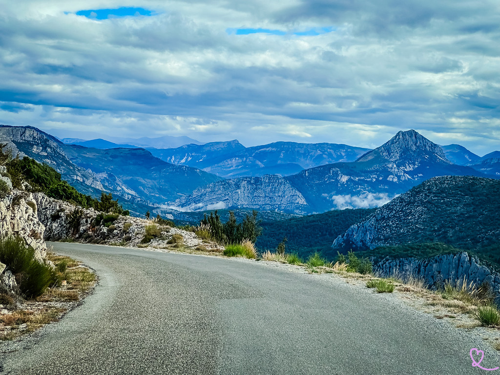
The first overlook looked impressive enough, but after a few more stops we realized the gorge just kept getting deeper and wider. Every viewpoint seemed to reveal another section that hadn't been visible before.
Some parts of the road felt narrower than expected, especially when larger vehicles appeared coming the other way. Nobody seemed particularly rushed, which probably helped keep things relaxed.
The color of the water was honestly the thing that stood out most. Even from high above the canyon, the lake looked bright enough to draw everyone's attention away from the cliffs.
There were quite a few cyclists climbing the same roads. Watching them work their way uphill made sitting in an air-conditioned car feel like a pretty good decision.
By the end of the loop we had stopped so often that the drive took much longer than planned. Verdon Gorge is not the kind of road where you cover distance quickly because there is always another viewpoint a few minutes ahead.
Best time to visit
The best time to explore the Verdon Gorge Canyon Scenic Drive is typically during spring and summer months, when weather conditions are stable and visibility is high. However, autumn offers fewer crowds and more dramatic scenery.
Travel tips
- Watch for rockfall risk after heavy rain
- Avoid midday summer heat in exposed canyon sections
- Use caution on narrow cliffside curves
Why visit
- Scenic landscapes unique to Provence-Alpes-Côte d'Azur
- Popular road trip destination in France
- Great for photography
- Varied terrain and driving conditions
Driving Interpretation Layer
What this route means
How long is this route?
The route is approximately 83.2 km long, with an elevation gain of 3679 m.
How difficult is the drive?
This route is classified as Hard, with a maximum gradient of 6.8%.
What kind of terrain does it have?
This is a relatively mild scenic route with steady and predictable driving conditions.
What makes this route unique?
The route combines elevation variation (3679 m total gain) with changing landscapes shaped by natural geography and road conditions.
What type of driver is this route best suited for?
This route is suitable for confident drivers who are comfortable with occasional steep sections and mountain terrain.
Discovery Layer
More routes in France
About France →
Route des Grandes Alpes Alpine Scenic Road Trip
High alpine route crossing multiple mountain passes.

Provence Lavender Scenic Drive
Lavender fields and charming French villages.
Corsica Mountain Scenic Loop Drive
Dramatic mountain roads across Corsica.
Alsace Wine Route Scenic Drive
Vineyards, half-timbered villages and rolling hills.
French Riviera Coastal Scenic Drive
Mediterranean coastline, beaches and seaside towns.
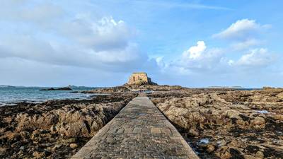
Mont Saint-Michel Brittany Coastal Drive
Historic coastline and iconic island abbey.
More similar scenic routes
Route des Grandes Alpes Alpine Scenic Road Trip
High alpine route crossing multiple mountain passes.
Corsica Mountain Scenic Loop Drive
Dramatic mountain roads across Corsica.
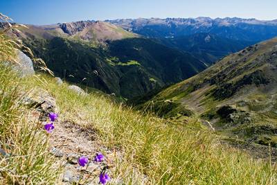
Pyrenees Alpine Scenic Drive
High mountain drive between Spain and France.
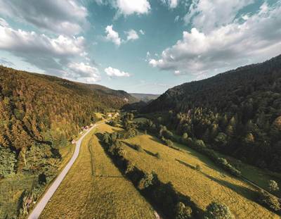
Vosges Mountain Scenic Drive
Forest-covered mountains and panoramic summits.
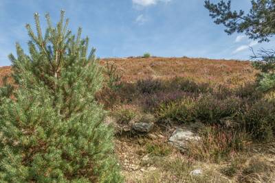
Cévennes National Park Scenic Drive
Remote mountains, valleys and historic villages.
Route Napoléon
Historic alpine route following Napoleon’s return path through southern French mountains