
Route Identity
Provence Lavender Scenic Drive
France — Provence
Overview Layer
Overview
Enjoy a relaxed drive along the Provence Lavender Route in France. This charming and easy scenic road trip winds through picturesque French villages, fragrant lavender fields, and rolling countryside, perfect for a relaxed European getaway.
Weather
Mediterranean inland climate with hot dry summers, mild winters, and moderate seasonal rainfall.
Seasonal Driving Conditions
Mild temperatures with increasing sunshine and moderate rainfall.
- stable weather conditions
- gradual warming trend
Hot and dry conditions with peak seasonal heat in inland areas.
- dry roads
- high daytime temperatures
Cooling temperatures with occasional rainfall and stable road conditions.
- cooling temperatures
- stable driving conditions
Cool and relatively wet conditions with reduced agricultural activity.
- wet rural roads
- reduced visibility in foggy mornings
Road conditions
Rural paved roads through agricultural landscapes with gentle terrain and light traffic outside peak season.
Driving difficulty explained
Low difficulty due to gentle terrain and well-maintained rural roads.
Route Snapshot Layer
Route Snapshot
This is a scenic driving route in Provence, France.
The route features moderate driving conditions.
It is classified as Moderate and is best suited for general road trip travelers.
Points of Interest
Scenic viewpoints
- Belvédère — 148 m from route (59.4 km from start)
- Champs de lavande — 54 m from route (66.2 km from start)
Actual Driving Track (GPX-data)
Download GPXGPS Data Layer
Measured Driving Route
This route is analyzed directly from GPX track data. It features a total distance of 117.4 km, with an elevation gain of 1854 m.
Route Structure
| Type | Distance (km) | Elevation Gain (m) | Avg Gradient (%) |
|---|---|---|---|
| climb | 25.04 km | 1094 m | 4% |
| descent | 29.93 km | 30 m | -3.8% |
| flat | 62.46 km | 730 m | 0.2% |
About this route
The Provence Lavender Scenic Drive is one of the most scenic driving experiences in France. Located in Provence, this route offers a unique combination of landscapes, road conditions and natural highlights.
Stretching over 117.4 km, this drive takes approximately 3 hours.
This route is especially popular among travelers looking for road trips.

Travel Experience
We missed the peak lavender fields at first and had to turn back a bit because someone swore they saw a better spot earlier. It probably wasn’t that different, but we still went.
There was a small village where we stopped for coffee and ended up sitting there longer than planned. Service was slow, nobody complained, we just waited and watched people come and go from the square.
The driving itself was very easy, almost too easy. Long stretches of road, not much traffic, and we mostly just talked about where to eat later instead of paying attention to the scenery.
At one point we pulled over just because a few other cars were already parked along the roadside. It turned out to be one of the best viewpoints along the road, though honestly we only stayed for a few minutes because it was getting hot.
By the end of the drive through Provence, I remember more about the smell of the air than anything specific we saw. Lavender was everywhere, but it all kind of blended together after a while.
Best time to visit
The best time to explore the Provence Lavender Scenic Drive is typically during spring and summer months, when weather conditions are stable and visibility is high. However, autumn offers fewer crowds and more dramatic scenery.
Travel tips
- Expect heat in inland areas during summer
- Watch for early morning fog in valleys
- Drive carefully on narrow rural roads
Why visit
- Scenic landscapes unique to Provence
- Popular road trip destination in France
- Great for photography
- Varied terrain and driving conditions
Driving Interpretation Layer
What this route means
How long is this route?
The route is approximately 117.4 km long, with an elevation gain of 1854 m.
How difficult is the drive?
This route is classified as Moderate, with a maximum gradient of 5.7%.
What kind of terrain does it have?
This is a relatively mild scenic route with steady and predictable driving conditions.
What makes this route unique?
The route combines elevation variation (1854 m total gain) with changing landscapes shaped by natural geography and road conditions.
What type of driver is this route best suited for?
This route is suitable for most drivers, including casual travelers looking for a scenic and relaxed drive.
Discovery Layer
More routes in France
About France →
Route des Grandes Alpes Alpine Scenic Road Trip
High alpine route crossing multiple mountain passes.
Corsica Mountain Scenic Loop Drive
Dramatic mountain roads across Corsica.
Alsace Wine Route Scenic Drive
Vineyards, half-timbered villages and rolling hills.
Verdon Gorge Canyon Scenic Drive
Dramatic canyon roads above turquoise waters.
French Riviera Coastal Scenic Drive
Mediterranean coastline, beaches and seaside towns.
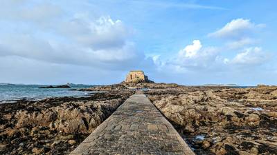
Mont Saint-Michel Brittany Coastal Drive
Historic coastline and iconic island abbey.
More similar scenic routes
Route des Grandes Alpes Alpine Scenic Road Trip
High alpine route crossing multiple mountain passes.
Corsica Mountain Scenic Loop Drive
Dramatic mountain roads across Corsica.
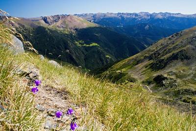
Pyrenees Alpine Scenic Drive
High mountain drive between Spain and France.
Alsace Wine Route Scenic Drive
Vineyards, half-timbered villages and rolling hills.
Verdon Gorge Canyon Scenic Drive
Dramatic canyon roads above turquoise waters.
French Riviera Coastal Scenic Drive
Mediterranean coastline, beaches and seaside towns.