
Route Identity
Mont Saint-Michel Brittany Coastal Drive
France — Normandy
Overview Layer
Overview
Discover the historic coastlines of Normandy and Brittany on a scenic drive leading toward Mont Saint-Michel. The route combines dramatic tidal landscapes, medieval towns, and rugged Atlantic scenery.
Weather
Atlantic maritime climate with frequent precipitation, strong winds, and high tidal influence in coastal zones.
Seasonal Driving Conditions
Mild temperatures with frequent rain and strong coastal wind exposure.
- frequent light rain
- moderate coastal wind exposure
Cool to warm maritime conditions with relatively stable weather windows.
- more stable weather windows
- reduced storm frequency
Increasing storm activity and rainfall along Atlantic-facing coastlines.
- Atlantic storms increase
- wet road surfaces common
Cold, wet, and windy conditions with strong tidal and storm influence.
- strong winds and rain
- reduced visibility during storms
Road conditions
Coastal and rural paved roads with exposure to wind, rain, and occasional storm-related disruptions.
Driving difficulty explained
Moderate difficulty due to coastal exposure and rapidly changing Atlantic weather.
Route Snapshot Layer
Route Snapshot
This is a scenic driving route in Normandy, France.
The route features moderate driving conditions.
It is classified as Moderate and is best suited for general road trip travelers.
Points of Interest
Attractions along the route
- Train touristique — 79 m from route (6.8 km from start)
- Petit Train Touristique — 65 m from route (207.2 km from start)
- Menhir de Men Marz — 22 m from route (270.4 km from start)
- Menez Ham — 120 m from route (282.2 km from start)
- Ancre de l'Amoco Cadiz — 12 m from route (360.0 km from start)
Scenic viewpoints
- Corn Ar Gazel — 35 m from route (350.1 km from start)
Actual Driving Track (GPX-data)
Download GPXGPS Data Layer
Measured Driving Route
This route is analyzed directly from GPX track data. It features a total distance of 441.0 km, with an elevation gain of 2286 m.
Route Structure
| Type | Distance (km) | Elevation Gain (m) | Avg Gradient (%) |
|---|---|---|---|
| flat | 435.87 km | 2205 m | 0% |
| descent | 2.37 km | 0 m | -2% |
| climb | 2.76 km | 81 m | 2.4% |
About this route
The Mont Saint-Michel Brittany Coastal Drive is one of the most scenic driving experiences in France. Located in Normandy, this route offers a unique combination of landscapes, road conditions and natural highlights.
Stretching over 441.0 km, this drive takes approximately 9 hours.
This route is especially popular among travelers looking for road trips.
Travel Experience
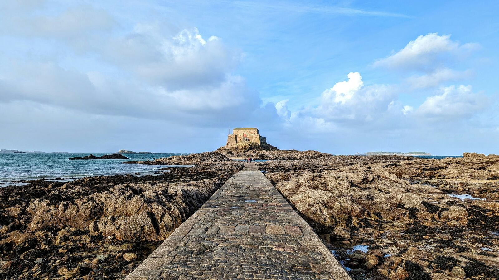
The landscape felt much more open than we expected. Large fields stretched toward the horizon and every so often the coastline appeared in the distance.
The first glimpse of Mont Saint-Michel happened much earlier than expected. It looked small and almost unreal sitting alone above the surrounding flats.
Driving through the smaller towns was surprisingly enjoyable because nothing felt overly busy. Most places seemed to move at a slower pace compared with larger tourist destinations.
The weather changed several times throughout the day. One moment the sky was bright and clear, and an hour later everything looked gray and windswept.
What stayed with us most was how different the scenery felt from southern France. The Mont Saint-Michel and Brittany Drive has a rougher, quieter atmosphere that suits the Atlantic coast.
Best time to visit
The best time to explore the Mont Saint-Michel Brittany Coastal Drive is typically during spring and summer months, when weather conditions are stable and visibility is high. However, autumn offers fewer crowds and more dramatic scenery.
Travel tips
- Check tide and weather conditions near Mont Saint Michel
- Drive cautiously during Atlantic storms
- Expect rapid weather changes along the coast
Why visit
- Scenic landscapes unique to Normandy
- Popular road trip destination in France
- Great for photography
- Varied terrain and driving conditions
Driving Interpretation Layer
What this route means
How long is this route?
The route is approximately 441.0 km long, with an elevation gain of 2286 m.
How difficult is the drive?
This route is classified as Moderate, with a maximum gradient of 2.4%.
What kind of terrain does it have?
This is a relatively mild scenic route with steady and predictable driving conditions.
What makes this route unique?
The route combines elevation variation (2286 m total gain) with changing landscapes shaped by natural geography and road conditions.
What type of driver is this route best suited for?
This route is suitable for most drivers, including casual travelers looking for a scenic and relaxed drive.
Discovery Layer
More routes in France
About France →
Route des Grandes Alpes Alpine Scenic Road Trip
High alpine route crossing multiple mountain passes.

Provence Lavender Scenic Drive
Lavender fields and charming French villages.
Corsica Mountain Scenic Loop Drive
Dramatic mountain roads across Corsica.
Alsace Wine Route Scenic Drive
Vineyards, half-timbered villages and rolling hills.
Verdon Gorge Canyon Scenic Drive
Dramatic canyon roads above turquoise waters.
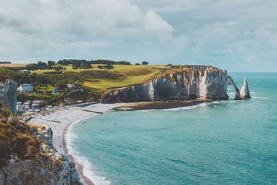
French Riviera Coastal Scenic Drive
Mediterranean coastline, beaches and seaside towns.
More similar scenic routes
French Riviera Coastal Scenic Drive
Mediterranean coastline, beaches and seaside towns.
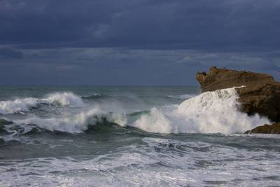
Basque Atlantic Coastal Scenic Drive
Ocean cliffs, surf towns and coastal roads.
Route des Grandes Alpes Alpine Scenic Road Trip
High alpine route crossing multiple mountain passes.

Pacific Coast Highway Coastal Scenic Drive
Iconic coastal drive along California's Pacific coastline.
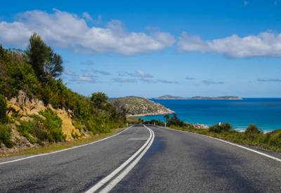
Great Ocean Scenic Coastal Drive
Coastal road famous for Twelve Apostles rock formations.
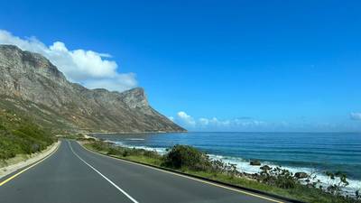
Garden Route Scenic Coastal Drive
Coastal drive through forests, lagoons and beaches.