
Route Identity
Carretera Austral Patagonian Scenic Highway
Chile — Patagonia
Overview Layer
Overview
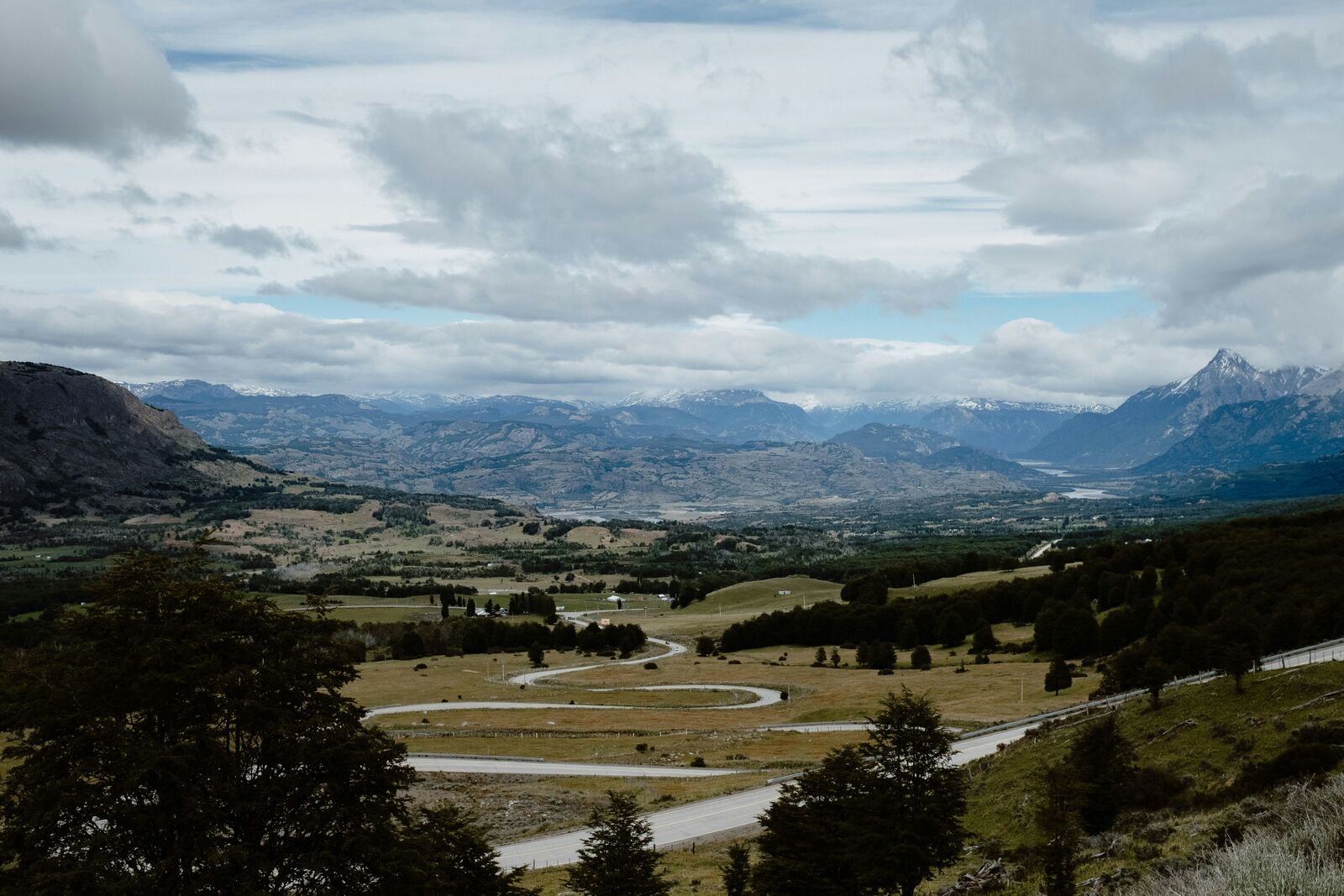
The Carretera Austral in Patagonia, Chile, is a remote and rugged adventure. This extensive road trip crosses through dense forests, dramatic fjords, and icy glaciers, offering an unparalleled wilderness experience.
Weather
Wet oceanic and subpolar climate with high rainfall, strong winds, and rapid weather changes along fjord landscapes.
Seasonal Driving Conditions
Cool and wet conditions with melting snow in northern segments and frequent rainfall.
- snowmelt increases river levels near roads
- frequent rain affects traction
Mild temperatures with reduced rainfall but still variable coastal weather.
- relatively stable access conditions
- reduced precipitation compared to winter months
Cooling temperatures with increased precipitation and stronger wind exposure.
- strong wind and rain events
- reduced visibility in fjord areas
Cold, wet, and snowy conditions with potential road disruptions in southern sections.
- snow and ice in southern sections
- possible road interruptions from storms
Road conditions
Mixed paved and gravel roads with frequent wet surfaces, landslide risk in heavy rain periods, and remote stretches.
Driving difficulty explained
High difficulty due to remoteness, weather volatility, and mixed road surfaces.
Route Snapshot Layer
Route Snapshot
This is a scenic driving route in Patagonia, Chile.
The route features moderate driving conditions.
It is classified as Extreme and is best suited for general road trip travelers.
Points of Interest
Scenic viewpoints
- Mirador Lago Blanco — 56 m from route (38.9 km from start)
- Lago Caro — 11 m from route (542.9 km from start)
- Mirador — 17 m from route (709.5 km from start)
- Vista Co Los Leones — 50 m from route (818.3 km from start)
- Mirador Río Mayer — 36 m from route (1111.2 km from start)
Attractions along the route
- El Avión — 29 m from route (93.6 km from start)
Actual Driving Track (GPX-data)
Download GPXGPS Data Layer
Measured Driving Route
This route is analyzed directly from GPX track data. It features a total distance of 1225.7 km, with an elevation gain of 7802 m.
Route Structure
| Type | Distance (km) | Elevation Gain (m) | Avg Gradient (%) |
|---|---|---|---|
| flat | 1006.16 km | 3712 m | 0% |
| climb | 118.93 km | 4085 m | 3.7% |
| descent | 100.58 km | 6 m | -4.4% |
About this route
The Carretera Austral Patagonian Scenic Highway is one of the most scenic driving experiences in Chile. Located in Patagonia, this route offers a unique combination of landscapes, road conditions and natural highlights.
Stretching over 1225.7 km, this drive takes approximately 25 hours.
This route is especially popular among travelers looking for road trips.
Travel Experience
The drive was relentless; we kept dealing with these huge dips in the road and massive inclines. The sheer size of the wilderness, with the thick Patagonian forests bordering everything, made the whole process feel exhausting. It really tested our ability to keep our focus on the path in front of us.
There was a stretch where the road just wound through the forest for a solid hour, and honestly, there wasn't much happening visually. We were mostly just focused on the car engine and the radio playing over the background hum. It was one of those patches where you just feel the distance accumulating.
When we finally reached a viewpoint overlooking the fjord, it was a massive, sudden punch of view. We pulled over and just sat for a long time, trying to take in the dramatic scale of everything. It was crystal clear that this was one of the best viewpoints along the road, and a huge highlight of the entire scenic drive experience in Patagonia.
By the end of the day, our focus wasn't on the grand views anymore, but just on making it to a reliable place to stop. The dust and the occasional puddles made the roads slippery, and we were really physically drained. Just getting through the sheer distance felt like a win.
Best time to visit
The best time to explore the Carretera Austral Patagonian Scenic Highway is typically during spring and summer months, when weather conditions are stable and visibility is high. However, autumn offers fewer crowds and more dramatic scenery.
Travel tips
- Expect long distances between fuel and services
- Check ferry and road conditions in advance
- Be prepared for sudden weather changes in fjord zones
Why visit
- Scenic landscapes unique to Patagonia
- Popular road trip destination in Chile
- Great for photography
- Varied terrain and driving conditions
Driving Interpretation Layer
What this route means
How long is this route?
The route is approximately 1225.7 km long, with an elevation gain of 7802 m.
How difficult is the drive?
This route is classified as Extreme, with a maximum gradient of 16.2%.
What kind of terrain does it have?
This route features hilly terrain with several steep driving sections.
What makes this route unique?
The route combines elevation variation (7802 m total gain) with changing landscapes shaped by natural geography and road conditions.
What type of driver is this route best suited for?
This route is best suited for experienced drivers comfortable with steep gradients, narrow mountain roads, and changing weather conditions.
Discovery Layer
More routes in Chile
About Chile →
More similar scenic routes
Patagonia Lakes Scenic Route Drive
Remote Patagonian road with lakes and glaciers.
Patagonia Scenic Loop Road
Remote southern landscapes with glaciers.
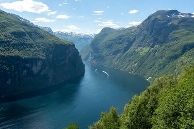
Norwegian Fjords Scenic Drive
Epic fjord landscapes with cliffs and waterfalls.
Extended Garden Route Scenic Drive
Extended coastal drive with beaches and forests.
Tasmania Wilderness Scenic Drive
Wild nature drive through Tasmania’s forests and coasts.
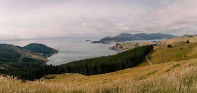
South Island Scenic Scenic Road Trip
Epic road through fjords, mountains and lakes.