
Route Identity
Patagonia Lakes Scenic Route Drive
Chile — Patagonia
Overview Layer
Overview
Explore the remote Laguna Route through Chile's stunning Patagonia. This road trip offers a spectacular blend of glacial landscapes, vivid lakes, and wild Patagonian nature, making it a must-see Chilean coastal and mountain journey.
Weather
High-altitude Andean desert climate with extreme dryness, strong solar radiation, and large temperature differences between day and night.
Seasonal Driving Conditions
Cool and dry conditions in northern sections with improving access to high-altitude routes.
- stable dry conditions
- cold nights at altitude
Stable weather with clear skies and best accessibility in high desert and altiplano regions.
- best road accessibility
- clear skies across high plateau
Cooling temperatures with low precipitation and stable visibility.
- stable but cooling temperatures
- low precipitation
Cold conditions with possible snow at high altitude and reduced accessibility in some sections.
- snow at high elevations
- reduced access in remote sections
Road conditions
Remote high-altitude paved and gravel roads with steep climbs and limited services.
Driving difficulty explained
High difficulty due to altitude, remoteness, and extreme climate conditions.
Route Snapshot Layer
Route Snapshot
This is a scenic driving route in Patagonia, Chile.
The route features moderate driving conditions.
It is classified as Hard and is best suited for general road trip travelers.
Points of Interest
Scenic viewpoints
- Mirador Glaciar Exploradores — 232 m from route (34.1 km from start)
- Cascada la Nutria — 3 m from route (62.5 km from start)
- Cementerio Berrocal — 100 m from route (82.6 km from start)
Attractions along the route
- Ballena Sei — 115 m from route (85.5 km from start)
Interesting stops
- Camping La Península — 44 m from route (85.0 km from start)
- Camping Don Manuel — 28 m from route (85.5 km from start)
Places to eat
- El condor — 141 m from route (85.5 km from start)
Actual Driving Track (GPX-data)
Download GPXGPS Data Layer
Measured Driving Route
This route is analyzed directly from GPX track data. It features a total distance of 85.5 km, with an elevation gain of 2639 m.
Route Structure
| Type | Distance (km) | Elevation Gain (m) | Avg Gradient (%) |
|---|---|---|---|
| flat | 64.19 km | 1899 m | 0.2% |
| climb | 10.37 km | 608 m | 3.5% |
| descent | 10.96 km | 131 m | -3.1% |
About this route
The Patagonia Lakes Scenic Route Drive is one of the most scenic driving experiences in Chile. Located in Patagonia, this route offers a unique combination of landscapes, road conditions and natural highlights.
Stretching over 85.5 km, this drive takes approximately 2 hours.
This route is especially popular among travelers looking for road trips.
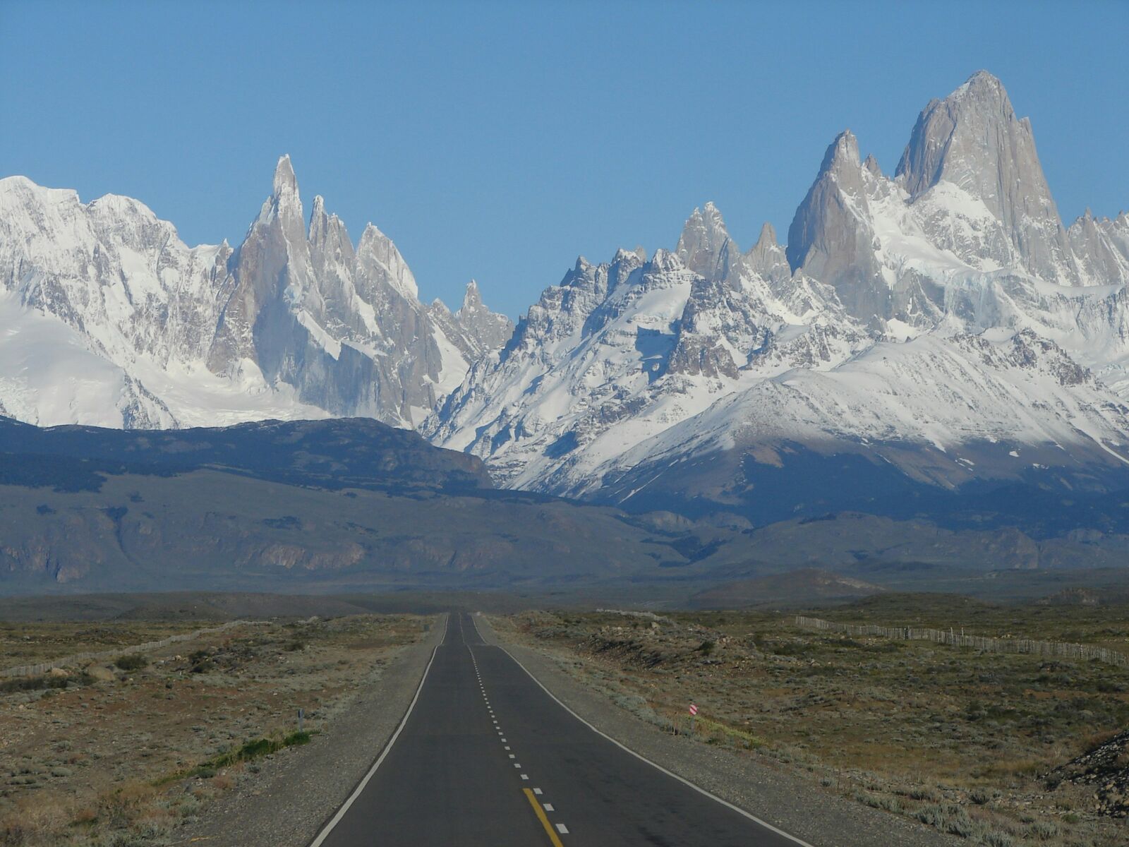
Travel Experience
We woke up super early, and the drive started through this immense, wild landscape. The lakes were unreal shades of turquoise, reflecting the dramatic sky perfectly. It really felt like a vast, uninterrupted scenic drive experience.
For a decent chunk of time, the road just followed the shoreline, and there was hardly anything but trees and water on either side. Honestly, there wasn't much to distract you, which made it feel really quiet, just the sound of the wind blowing through the grass.
We pulled over at a spot where a river opened up into a massive lake, and the air smelled incredibly fresh, maybe a little bit metallic. We just sat for a while, watching the slow, predictable movement of the water. It was nice to finally get a break from the car.
We hit a really long, straight stretch of road today, and I was starting to feel the fatigue setting in. It was definitely a less visually interesting part of the trip, just plain driving through the Patagonian scrubland. We were mostly focused on keeping ourselves on schedule.
Best time to visit
The best time to explore the Patagonia Lakes Scenic Route Drive is typically during spring and summer months, when weather conditions are stable and visibility is high. However, autumn offers fewer crowds and more dramatic scenery.
Travel tips
- Acclimatize before high-altitude driving
- Carry fuel and supplies due to remoteness
- Expect large temperature swings between day and night
Why visit
- Scenic landscapes unique to Patagonia
- Popular road trip destination in Chile
- Great for photography
- Varied terrain and driving conditions
Driving Interpretation Layer
What this route means
How long is this route?
The route is approximately 85.5 km long, with an elevation gain of 2639 m.
How difficult is the drive?
This route is classified as Hard, with a maximum gradient of 5.9%.
What kind of terrain does it have?
This is a relatively mild scenic route with steady and predictable driving conditions.
What makes this route unique?
The route combines elevation variation (2639 m total gain) with changing landscapes shaped by natural geography and road conditions.
What type of driver is this route best suited for?
This route is suitable for most drivers, including casual travelers looking for a scenic and relaxed drive.
Discovery Layer
More routes in Chile
About Chile →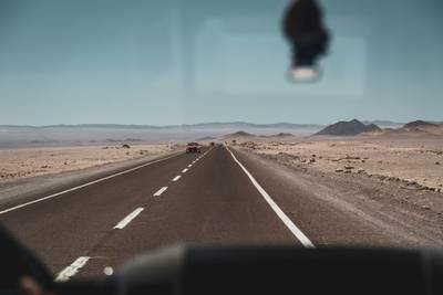
More similar scenic routes
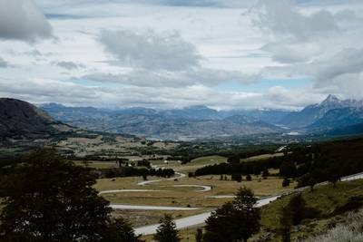
Carretera Austral Patagonian Scenic Highway
Remote Patagonian road through forests, fjords and glaciers.
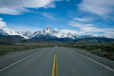
Patagonia Scenic Loop Road
Remote southern landscapes with glaciers.
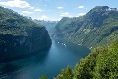
Norwegian Fjords Scenic Drive
Epic fjord landscapes with cliffs and waterfalls.
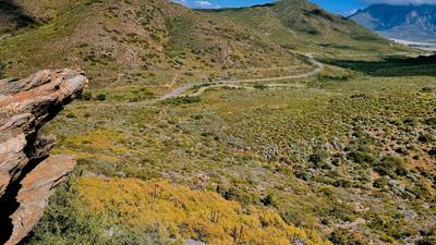
Extended Garden Route Scenic Drive
Extended coastal drive with beaches and forests.
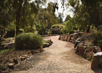
Tasmania Wilderness Scenic Drive
Wild nature drive through Tasmania’s forests and coasts.
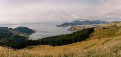
South Island Scenic Scenic Road Trip
Epic road through fjords, mountains and lakes.