
Route Identity
Hana Highway Tropical Scenic Drive
USA — Hawaii
Overview Layer
Overview
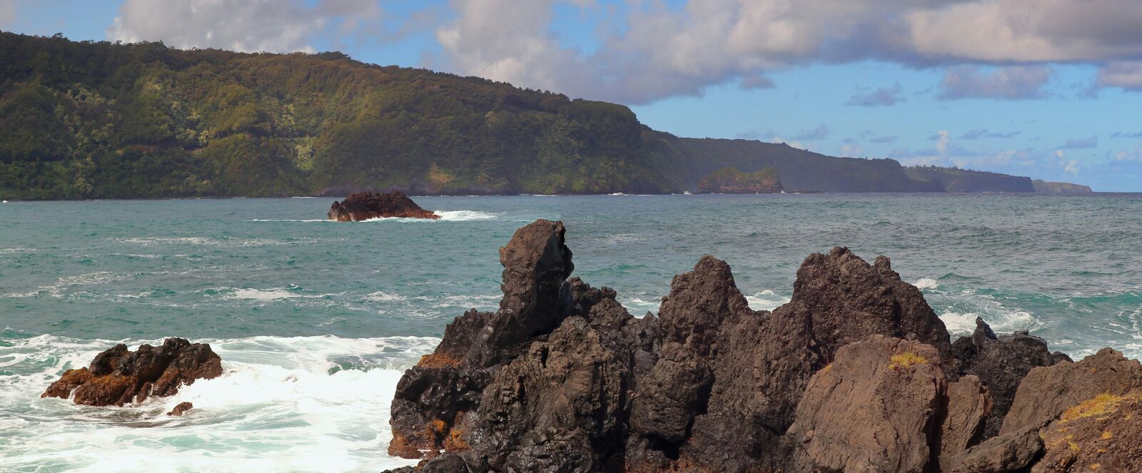
Follow the famous Hana Highway on Maui, a winding tropical road known for waterfalls, lush rainforest, dramatic coastline, and countless scenic stops.
Weather
Tropical rainforest climate with high humidity, frequent rainfall, and stable year-round temperatures.
Seasonal Driving Conditions
Warm tropical conditions with frequent rainfall and high humidity.
- frequent rainfall events
- lush tropical vegetation growth affecting visibility
Hot and humid conditions with occasional heavy showers.
- humid road conditions
- wet asphalt from tropical showers
Warm temperatures with gradually reduced rainfall.
- slightly drier conditions
- stable but humid driving environment
Mild tropical conditions with intermittent rain and stable temperatures.
- intermittent rain
- generally stable road temperatures
Road conditions
Narrow winding coastal road with sharp curves, bridges, and variable traction during rain.
Driving difficulty explained
Moderate difficulty due to narrow winding roads and frequent rain exposure.
Route Snapshot Layer
Route Snapshot
This is a scenic driving route in Hawaii, USA.
The route features moderate driving conditions.
It is classified as Extreme and is best suited for general road trip travelers.
Points of Interest
Scenic viewpoints
- Lower Waterfall — 12 m from route (17.5 km from start)
- Rainbow Overlook — 47 m from route (17.7 km from start)
- Keanae Peninsula Lookout — 12 m from route (27.5 km from start)
- Waila Valley State Wayside — 19 m from route (30.5 km from start)
- Wailua Falls — 8 m from route (67.3 km from start)
Attractions along the route
- Rainbow Eucalyptus — 4 m from route (11.6 km from start)
- Seven Sacred Pools — 61 m from route (71.5 km from start)
Places to eat
- Fish Taco’s — 12 m from route (56.1 km from start)
Actual Driving Track (GPX-data)
Download GPXGPS Data Layer
Measured Driving Route
This route is analyzed directly from GPX track data. It features a total distance of 147.4 km, with an elevation gain of 5565 m.
Route Structure
| Type | Distance (km) | Elevation Gain (m) | Avg Gradient (%) |
|---|---|---|---|
| flat | 96.45 km | 3309 m | 0.1% |
| descent | 26.09 km | 693 m | -3.6% |
| climb | 24.88 km | 1563 m | 3.4% |
About this route
The Hana Highway Tropical Scenic Drive is one of the most scenic driving experiences in USA. Located in Hawaii, this route offers a unique combination of landscapes, road conditions and natural highlights.
Stretching over 147.4 km, this drive takes approximately 3 hours.
This route is especially popular among travelers looking for road trips.
Travel Experience
The first thing we noticed was how slow progress felt. The distance doesn't look that impressive on a map, but between the curves, bridges and constant stops it took much longer than expected. Nobody seemed surprised by that though.
Waterfalls appeared everywhere. We'd stop for one, get back in the car and five minutes later somebody would point at another one through the trees. After a while it became impossible to stop at all of them without turning the drive into an all-day project.
Some sections felt almost enclosed by vegetation. The road squeezed through dense rainforest and there were moments when it seemed like the jungle was slowly reclaiming everything around it.
Then suddenly the scenery would open up and reveal ocean views, rocky coastline or distant cliffs. Those transitions happened repeatedly throughout the day and kept the drive from ever feeling repetitive.
By the time we reached Hana, nobody was talking much about the town itself. Most of the conversation was about places we'd passed earlier and whether we should stop again on the way back. The journey definitely overshadowed the destination.
Best time to visit
The best time to explore the Hana Highway Tropical Scenic Drive is typically during spring and summer months, when weather conditions are stable and visibility is high. However, autumn offers fewer crowds and more dramatic scenery.
Travel tips
- Drive slowly on wet curves
- Expect limited passing areas
- Monitor weather before departure
Why visit
- Scenic landscapes unique to Hawaii
- Popular road trip destination in USA
- Great for photography
- Varied terrain and driving conditions
Driving Interpretation Layer
What this route means
How long is this route?
The route is approximately 147.4 km long, with an elevation gain of 5565 m.
How difficult is the drive?
This route is classified as Extreme, with a maximum gradient of 6.6%.
What kind of terrain does it have?
This is a relatively mild scenic route with steady and predictable driving conditions.
What makes this route unique?
The route combines elevation variation (5565 m total gain) with changing landscapes shaped by natural geography and road conditions.
What type of driver is this route best suited for?
This route is suitable for confident drivers who are comfortable with occasional steep sections and mountain terrain.
Discovery Layer
More routes in USA
About USA →
Blue Ridge Parkway Scenic Mountain Drive
Scenic mountain drive through the Appalachian Highlands.

Pacific Coast Highway Coastal Scenic Drive
Iconic coastal drive along California's Pacific coastline.
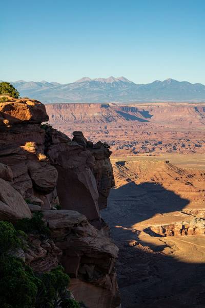
Utah National Parks Scenic Loop Drive
Arches, canyons and desert landscapes.
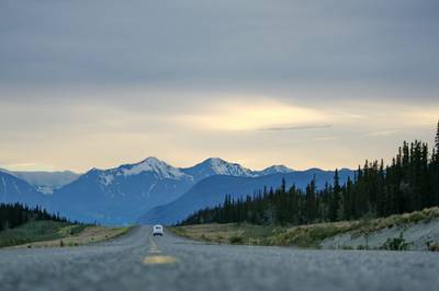
Dalton Highway Arctic Wilderness Drive
One of the most remote roads in North America.
Going-to-the-Sun Road Glacier Scenic Drive
High mountain road crossing Glacier National Park.
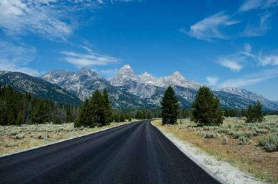
Beartooth Highway Alpine Scenic Drive
High alpine road with dramatic switchbacks.
More similar scenic routes
Blue Ridge Parkway Scenic Mountain Drive
Scenic mountain drive through the Appalachian Highlands.
Pacific Coast Highway Coastal Scenic Drive
Iconic coastal drive along California's Pacific coastline.
Utah National Parks Scenic Loop Drive
Arches, canyons and desert landscapes.

Kerala Backwaters Scenic Drive
Lush tropical landscapes and waterways.
Going-to-the-Sun Road Glacier Scenic Drive
High mountain road crossing Glacier National Park.
Beartooth Highway Alpine Scenic Drive
High alpine road with dramatic switchbacks.