
Route Identity
New Zealand South Island West Coast Glacier & Rainforest Scenic Drive Experience
New Zealand — West Coast (South Island)
Overview Layer
Overview
The South Island West Coast Glacier Drive in New Zealand is a short but incredibly diverse scenic route that connects coastal rainforest landscapes with some of the most accessible glaciers in the world. The drive passes through lush temperate rainforest, rugged coastline, and valleys shaped by ancient ice, offering a concentrated experience of New Zealand’s dramatic natural variety.
Weather
Temperate oceanic climate with very high precipitation on the West Coast and strong orographic rainfall from the Southern Alps.
Seasonal Driving Conditions
Cool temperatures with high precipitation and active river flow from snowmelt in alpine areas.
- high river discharge from snowmelt
- frequent rainfall events
Mild temperatures with highest accessibility to glacier access roads and coastal routes.
- highest road accessibility in alpine regions
- stable glacier access conditions
Cooling conditions with increased rainfall and stable road access outside alpine precipitation events.
- increasing precipitation variability
- stable coastal road conditions
Cold alpine conditions with snow accumulation affecting high elevation access roads.
- snow and ice in alpine sections
- reduced high elevation accessibility
Road conditions
Paved coastal and mountain roads with frequent rainfall exposure, potential flooding in low areas, and ice/snow at higher elevations.
Driving difficulty explained
Moderate difficulty due to high rainfall, alpine terrain, and variable road conditions.
Route Snapshot Layer
Route Snapshot
This is a scenic driving route in West Coast (South Island), New Zealand.
The route features moderate driving conditions.
It is classified as Hard and is best suited for general road trip travelers.
Points of Interest
Attractions along the route
- Defiance Hut — 31 m from route (46.1 km from start)
Scenic viewpoints
- Peak View Point — 151 m from route (9.8 km from start)
- Sentinel Rock — 218 m from route (46.2 km from start)
- Minnehaha — 161 m from route (73.2 km from start)
Interesting stops
- Heartland Hotel Glacier Country — 20 m from route (73.3 km from start)
Interesting stops
- Peter‘s Pool - Reflections of the past — 12 m from route (46.7 km from start)
Actual Driving Track (GPX-data)
Download GPXGPS Data Layer
Measured Driving Route
This route is analyzed directly from GPX track data. It features a total distance of 74.5 km, with an elevation gain of 1432 m.
Route Structure
| Type | Distance (km) | Elevation Gain (m) | Avg Gradient (%) |
|---|---|---|---|
| flat | 34.52 km | 336 m | -0.1% |
| climb | 20.64 km | 1040 m | 4.5% |
| descent | 19.36 km | 55 m | -4.8% |
About this route
The New Zealand South Island West Coast Glacier & Rainforest Scenic Drive Experience is one of the most scenic driving experiences in New Zealand. Located in West Coast (South Island), this route offers a unique combination of landscapes, road conditions and natural highlights.
Stretching over 74.5 km, this drive takes approximately 2 hours.
This route is especially popular among travelers looking for road trips.
Travel Experience
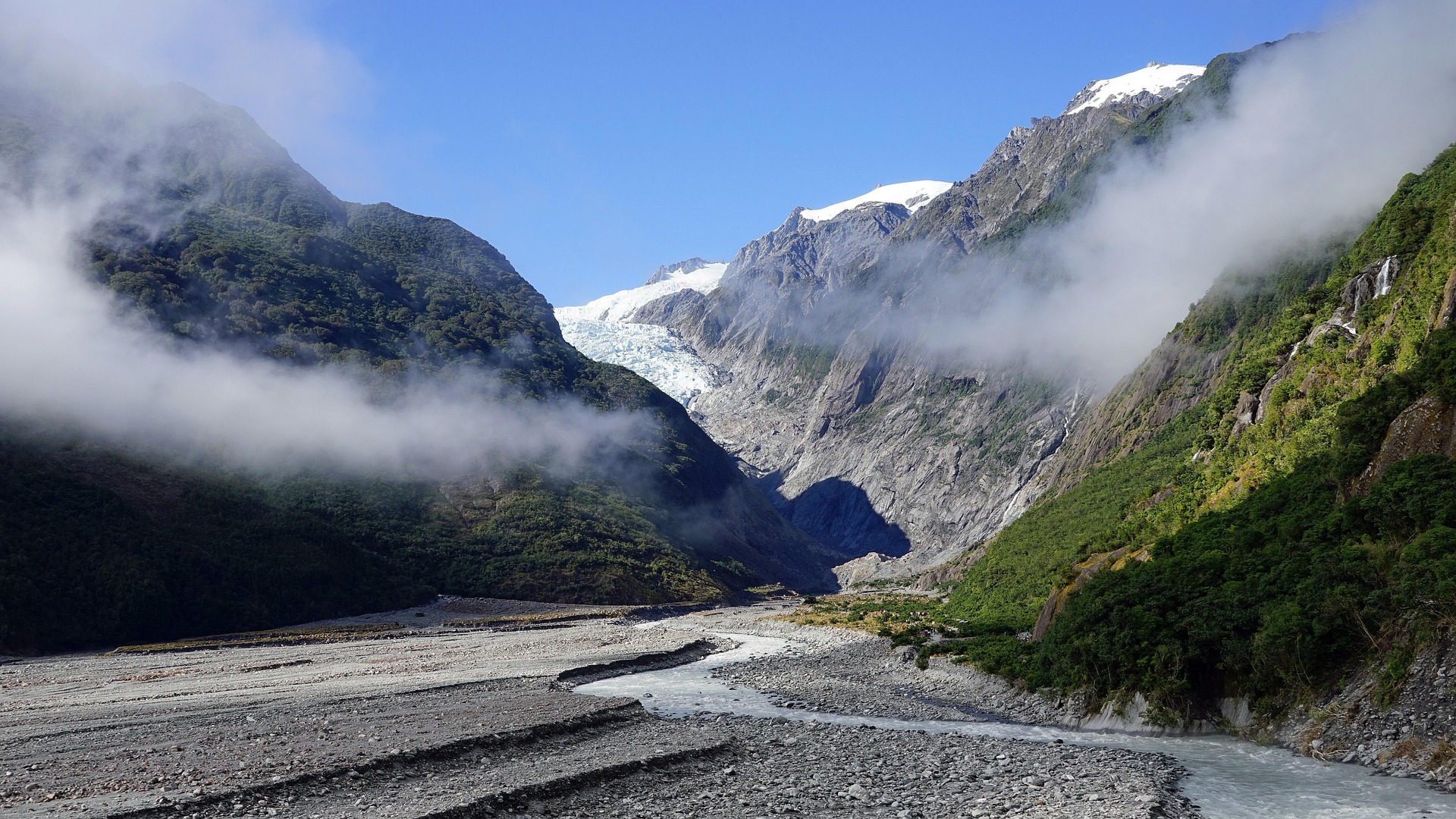
The drive begins in dense, almost overpowering rainforest where the road feels like it’s cutting through layers of green on both sides.
At points where the landscape opens up, you suddenly catch glimpses of distant snow-covered peaks that feel out of place compared to the coastal vegetation.
We stopped near one of the glacier viewpoints, and the contrast between ice and rainforest was stronger than expected, especially at such low elevation.
The weather shifted quickly during the drive, moving from bright coastal light to misty, humid sections where everything felt closer and more enclosed.
By the end of the West Coast Glacier Drive, it felt like a compressed version of the South Island — rainforest, river valleys, ocean air, and ice all existing within a very short distance.
Best time to visit
The best time to explore the New Zealand South Island West Coast Glacier & Rainforest Scenic Drive Experience is typically during spring and summer months, when weather conditions are stable and visibility is high. However, autumn offers fewer crowds and more dramatic scenery.
Travel tips
- Expect rapid weather changes on the West Coast
- Monitor road closures in alpine passes
- Plan for high rainfall exposure
Why visit
- Scenic landscapes unique to West Coast (South Island)
- Popular road trip destination in New Zealand
- Great for photography
- Varied terrain and driving conditions
Driving Interpretation Layer
What this route means
How long is this route?
The route is approximately 74.5 km long, with an elevation gain of 1432 m.
How difficult is the drive?
This route is classified as Hard, with a maximum gradient of 7.2%.
What kind of terrain does it have?
This is a relatively mild scenic route with steady and predictable driving conditions.
What makes this route unique?
The route combines elevation variation (1432 m total gain) with changing landscapes shaped by natural geography and road conditions.
What type of driver is this route best suited for?
This route is suitable for confident drivers who are comfortable with occasional steep sections and mountain terrain.
Discovery Layer
More routes in New Zealand
About New Zealand →
South Island Scenic Scenic Road Trip
Epic road through fjords, mountains and lakes.
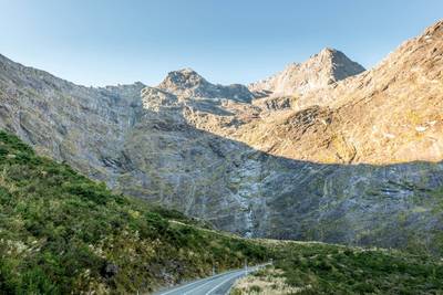
Milford Road Alpine Scenic Drive
Road to Milford Sound with dramatic alpine scenery.
North Island Scenic Loop Drive
Volcanoes, beaches and geothermal landscapes.
More similar scenic routes
South Island Scenic Scenic Road Trip
Epic road through fjords, mountains and lakes.
Milford Road Alpine Scenic Drive
Road to Milford Sound with dramatic alpine scenery.
North Island Scenic Loop Drive
Volcanoes, beaches and geothermal landscapes.
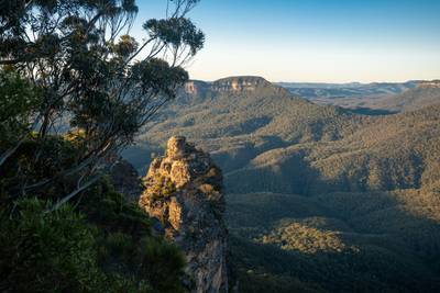
Blue Mountains Scenic Drive
Scenic drive through eucalyptus forests, waterfalls and dramatic sandstone cliffs of Blue Mountains National Park