
Route Identity
Silvretta High Alpine Scenic Pass Drive
Austria — Alps
Overview Layer
Overview
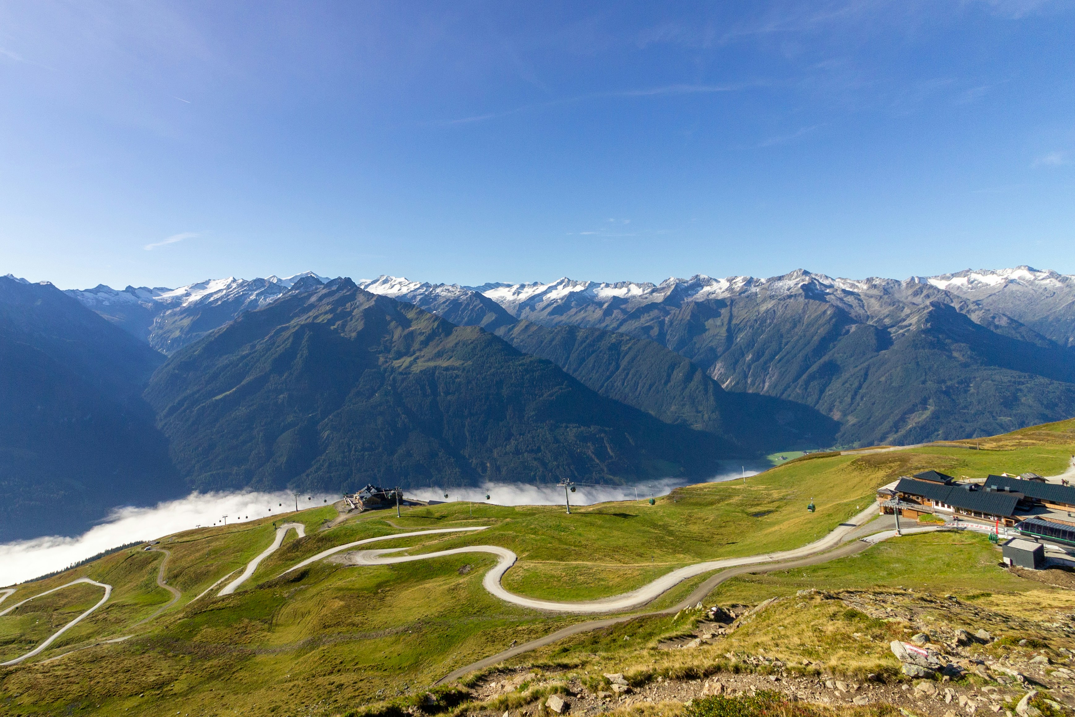
The Silvretta High Alpine Road in Austria is a spectacular mountain toll road in the Alps, known for its tight hairpin bends, dramatic elevation changes, and views over the Silvretta reservoir and surrounding peaks. Despite its short length, it is considered one of the most scenic alpine drives in Austria, offering intense mountain scenery in a compact route.
Weather
High alpine climate with strong seasonal snowpack, short summer window, and long winter closure period.
Seasonal Driving Conditions
Late snowmelt period with partial closures and unstable alpine conditions.
- snow clearance phase
- variable traction in upper sections
Fully open alpine road with mild temperatures and stable weather conditions.
- fully open road
- stable alpine driving conditions
Cooling temperatures with early snowfall risk at higher elevations.
- early snowfall risk
- cool high-altitude temperatures
Closed due to heavy snow accumulation and avalanche risk.
- road closure
- snow-covered alpine terrain
Road conditions
High mountain pass road with steep switchbacks, tunnels, and seasonal closure due to snow.
Driving difficulty explained
Moderate difficulty due to altitude and steep alpine switchbacks.
Route Snapshot Layer
Route Snapshot
This is a scenic driving route in Alps, Austria.
The route features moderate driving conditions.
It is classified as Hard and is best suited for general road trip travelers.
Points of Interest
Places to eat
- Benvenuti — 10 m from route (8.0 km from start)
- Gazauner Hof — 18 m from route (9.3 km from start)
- Pizzeria Capriola — 62 m from route (13.6 km from start)
Interesting stops
- Alte Talstation — 28 m from route (13.9 km from start)
Actual Driving Track (GPX-data)
Download GPXGPS Data Layer
Measured Driving Route
This route is analyzed directly from GPX track data. It features a total distance of 32.7 km, with an elevation gain of 1292 m.
Route Structure
| Type | Distance (km) | Elevation Gain (m) | Avg Gradient (%) |
|---|---|---|---|
| flat | 8.55 km | 133 m | 1.4% |
| climb | 23.53 km | 1154 m | 4.9% |
| descent | 0.64 km | 5 m | -3.8% |
About this route
The Silvretta High Alpine Scenic Pass Drive is one of the most scenic driving experiences in Austria. Located in Alps, this route offers a unique combination of landscapes, road conditions and natural highlights.
Stretching over 32.7 km, this drive takes approximately 1 hours.
This route is especially popular among travelers looking for road trips.
Travel Experience
We paid the toll and it immediately felt like the road changed character, like everything was compressed into a much shorter, more intense space.
At the first bend we already saw other cars pulling over for photos, but we didn’t really stop yet because it felt like there would be another viewpoint right after the next turn anyway.
There were sections with constant hairpins where you couldn’t really relax between corners. We didn’t talk much, just focused on the road and occasionally glanced at the reservoir below.
We stopped briefly near the water because a small parking area opened up and everyone else was getting out too. It was windy and cold even though it didn’t look like it would be.
By the end of the Silvretta High Alpine Road, it felt less like a full journey and more like a concentrated burst of alpine driving, where every few minutes reset the view completely.
Best time to visit
The best time to explore the Silvretta High Alpine Scenic Pass Drive is typically during spring and summer months, when weather conditions are stable and visibility is high. However, autumn offers fewer crowds and more dramatic scenery.
Travel tips
- Check official opening dates before travel
- Expect sudden weather changes at altitude
- Use lower gears on steep descents
Why visit
- Scenic landscapes unique to Alps
- Popular road trip destination in Austria
- Great for photography
- Varied terrain and driving conditions
Driving Interpretation Layer
What this route means
How long is this route?
The route is approximately 32.7 km long, with an elevation gain of 1292 m.
How difficult is the drive?
This route is classified as Hard, with a maximum gradient of 8.6%.
What kind of terrain does it have?
This is a high alpine mountain route with significant elevation changes and exposed terrain.
What makes this route unique?
The route combines elevation variation (1292 m total gain) with changing landscapes shaped by natural geography and road conditions.
What type of driver is this route best suited for?
This route is best suited for experienced drivers comfortable with steep gradients, narrow mountain roads, and changing weather conditions.
Discovery Layer
More routes in Austria
About Austria →More similar scenic routes
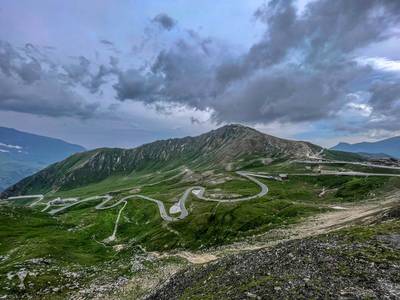
Grossglockner High Alpine Scenic Road
One of Europe’s most famous alpine roads.
Nockalm Scenic Alpine Loop Drive
Gentle alpine toll road through rounded mountains, forests and quiet valleys
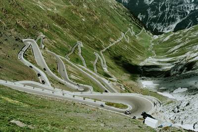
Stelvio Pass Alpine Scenic Drive
Iconic alpine road with 48 hairpin turns and dramatic mountain views
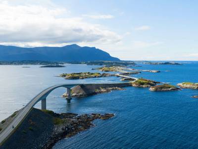
Atlantic Ocean Road Scenic Drive
Road across islands and bridges over the Atlantic Ocean
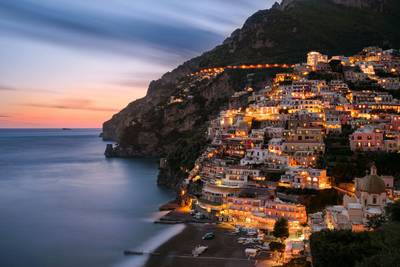
Amalfi Coast Scenic Drive
Winding coastal road with dramatic sea views
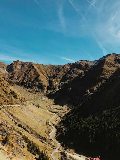
Transfăgărășan Alpine Scenic Highway Drive
One of the most dramatic mountain roads in the world