
Route Identity
Grossglockner High Alpine Scenic Road
Austria — Alps
Overview Layer
Overview
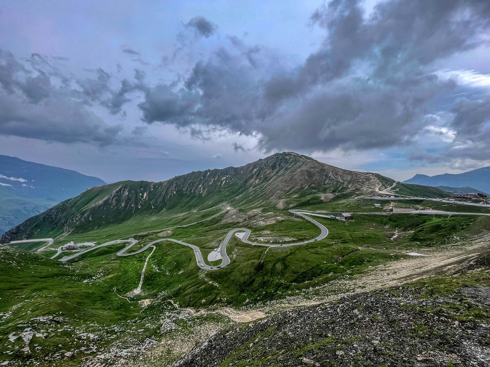
The Grossglockner High Alpine Road is one of Austria’s most iconic mountain drives, climbing through the heart of the Alps with sweeping viewpoints and high-altitude scenery. The route is known for its engineered switchbacks and constant panoramic vistas.
Weather
High alpine climate with rapid weather changes, cold temperatures at elevation, and seasonal snowfall.
Seasonal Driving Conditions
Late spring reopening with snow clearance ongoing and variable alpine conditions.
- snow clearance operations
- variable traction conditions
Mild alpine temperatures with generally open roads and stable conditions.
- fully open road sections
- stable alpine driving conditions
Cooling temperatures with early snowfall possible at higher elevations.
- early snow at high altitude
- cooling temperatures affecting traction
Closed in most sections due to heavy snow and avalanche risk.
- complete closure
- snow accumulation and avalanche risk
Road conditions
Toll alpine road with steep gradients, sharp curves, and seasonal closure during winter months.
Driving difficulty explained
Moderate to high difficulty due to steep alpine gradients and altitude changes.
Route Snapshot Layer
Route Snapshot
This is a scenic driving route in Alps, Austria.
The route features moderate driving conditions.
It is classified as Extreme and is best suited for general road trip travelers.
Points of Interest
Scenic viewpoints
- Jungfernsprung — 33 m from route (35.9 km from start)
- Kirche und Großglockner — 39 m from route (40.3 km from start)
- Hochtor — 16 m from route (55.6 km from start)
- Tauernfenster — 36 m from route (59.4 km from start)
- Blick zum Fuscher Törl — 12 m from route (61.6 km from start)
Attractions along the route
- Mautturm — 14 m from route (17.2 km from start)
- Straßenwalze — 21 m from route (59.8 km from start)
- Ostereier Aloisia Jordan — 16 m from route (82.1 km from start)
Actual Driving Track (GPX-data)
Download GPXGPS Data Layer
Measured Driving Route
This route is analyzed directly from GPX track data. It features a total distance of 94.4 km, with an elevation gain of 3475 m.
Route Structure
| Type | Distance (km) | Elevation Gain (m) | Avg Gradient (%) |
|---|---|---|---|
| flat | 47.82 km | 1144 m | 0.4% |
| climb | 22.3 km | 2084 m | 8.1% |
| descent | 24.23 km | 247 m | -7.9% |
About this route
The Grossglockner High Alpine Scenic Road is one of the most scenic driving experiences in Austria. Located in Alps, this route offers a unique combination of landscapes, road conditions and natural highlights.
Stretching over 94.4 km, this drive takes approximately 2 hours.
This route is especially popular among travelers looking for road trips.
Travel Experience
We entered the toll section and almost immediately it felt more controlled than a normal mountain road, like everything had been designed to keep people moving in a certain rhythm.
At the first lookout there were already plenty of cars, and it felt a bit like everyone was rotating through the same few angles of the same view. We didn’t stay long because the wind was strong and there wasn’t much reason to linger.
The drive itself was very stop-and-go. Not because of traffic, but because there were so many viewpoints and short detours that it kept breaking the flow. We didn’t talk much between stops, just drove, parked, got out, and got back in again.
We stopped for coffee at one of the higher points and it was one of those places where everything inside feels slightly warmer than it should be compared to outside. The contrast made the stop feel more important than it actually was.
By the end of the Grossglockner High Alpine Road, it felt less like a continuous drive and more like a sequence of short altitude changes stitched together with parking areas. The Alps were always there in full force, but we mostly experienced them in quick fragments rather than one long view.
Best time to visit
The best time to explore the Grossglockner High Alpine Scenic Road is typically during spring and summer months, when weather conditions are stable and visibility is high. However, autumn offers fewer crowds and more dramatic scenery.
Travel tips
- Check seasonal opening dates before travel
- Prepare for rapid weather changes in mountains
- Use low gear on steep descents
Why visit
- Scenic landscapes unique to Alps
- Popular road trip destination in Austria
- Great for photography
- Varied terrain and driving conditions
Driving Interpretation Layer
What this route means
How long is this route?
The route is approximately 94.4 km long, with an elevation gain of 3475 m.
How difficult is the drive?
This route is classified as Extreme, with a maximum gradient of 10.4%.
What kind of terrain does it have?
This is a high alpine mountain route with significant elevation changes and exposed terrain.
What makes this route unique?
The route combines elevation variation (3475 m total gain) with changing landscapes shaped by natural geography and road conditions.
What type of driver is this route best suited for?
This route is best suited for experienced drivers comfortable with steep gradients, narrow mountain roads, and changing weather conditions.
Discovery Layer
More routes in Austria
About Austria →More similar scenic routes
Silvretta High Alpine Scenic Pass Drive
Short but dramatic alpine toll road with hairpins, reservoirs and high mountain views
Nockalm Scenic Alpine Loop Drive
Gentle alpine toll road through rounded mountains, forests and quiet valleys
Stelvio Pass Alpine Scenic Drive
Iconic alpine road with 48 hairpin turns and dramatic mountain views
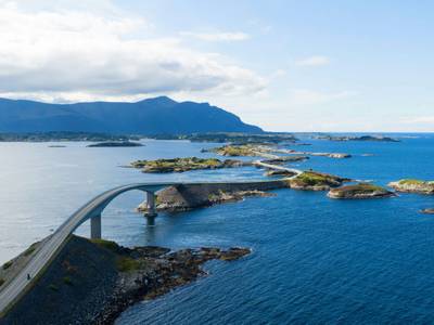
Atlantic Ocean Road Scenic Drive
Road across islands and bridges over the Atlantic Ocean
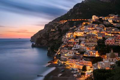
Amalfi Coast Scenic Drive
Winding coastal road with dramatic sea views
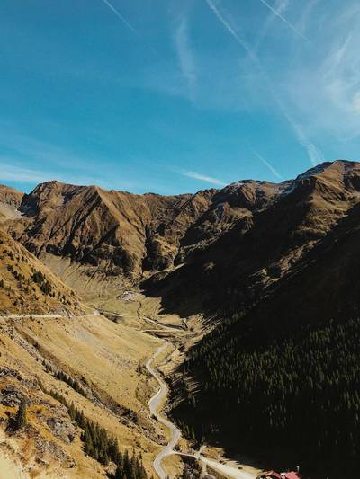
Transfăgărășan Alpine Scenic Highway Drive
One of the most dramatic mountain roads in the world