
Route Identity
Japan Alps Scenic Drive – Epic Nagano Loop Through Mountains, Valleys & Historic Towns
Japan — Chubu (Nagano / Japan Alps)
Overview Layer
Overview
The Japan Alps Scenic Drive, often experienced as a Nagano Loop, is a vast road trip through the mountainous heart of Honshu. The route connects deep valleys, alpine passes, historic towns, and lake regions across the Japanese Alps. It blends highland scenery with traditional rural Japan, offering a long-form driving experience shaped by changing elevation, weather, and cultural landscapes.
Weather
Humid continental to alpine climate with significant seasonal snowfall and strong elevation-dependent variability.
Seasonal Driving Conditions
Snowmelt period with residual snow in higher elevations and improving access roads.
- snowmelt affecting high passes
- partial road accessibility in alpine zones
Warm and humid conditions with full mountain road accessibility.
- full road accessibility
- humid conditions in valleys
Stable and dry conditions with improved visibility and seasonal foliage changes.
- stable road conditions
- improved visibility in mountains
Heavy snowfall in alpine regions with partial road closures.
- snow-covered alpine roads
- chain requirements in some sections
Road conditions
Mountain highways with tunnels, steep gradients, and seasonal snow management requirements.
Driving difficulty explained
Moderate difficulty due to mountain terrain and seasonal snow conditions.
Route Snapshot Layer
Route Snapshot
This is a scenic driving route in Chubu (Nagano / Japan Alps), Japan.
The route features moderate driving conditions.
It is classified as Extreme and is best suited for general road trip travelers.
Points of Interest
Scenic viewpoints
- 田舎館村展望台 — 32 m from route (1003.1 km from start)
- 村田町武家屋敷 旧田山家 — 60 m from route (2115.0 km from start)
- 見晴らしの丘 — 140 m from route (2462.5 km from start)
- 展望テラス — 150 m from route (2602.2 km from start)
Attractions along the route
- 龍飛埼灯台 — 115 m from route (1110.1 km from start)
Places to eat
- お食事処 さかえ — 14 m from route (864.9 km from start)
- ビハニ 三沢店 — 51 m from route (1340.3 km from start)
Cafés and stops
- café gland — 7 m from route (294.4 km from start)
Actual Driving Track (GPX-data)
Download GPXGPS Data Layer
Measured Driving Route
This route is analyzed directly from GPX track data. It features a total distance of 3101.1 km, with an elevation gain of 12403 m.
Route Structure
| Type | Distance (km) | Elevation Gain (m) | Avg Gradient (%) |
|---|---|---|---|
| flat | 2830.27 km | 8099 m | 0% |
| descent | 142.74 km | 0 m | -3.7% |
| climb | 128.11 km | 4304 m | 3.5% |
About this route
The Japan Alps Scenic Drive – Epic Nagano Loop Through Mountains, Valleys & Historic Towns is one of the most scenic driving experiences in Japan. Located in Chubu (Nagano / Japan Alps), this route offers a unique combination of landscapes, road conditions and natural highlights.
Stretching over 3101.1 km, this drive takes approximately 63 hours.
This route is especially popular among travelers looking for road trips.
Travel Experience
The first part of the loop feels deceptively calm, with well-maintained roads passing through quiet valleys and small towns that seem far removed from major cities.
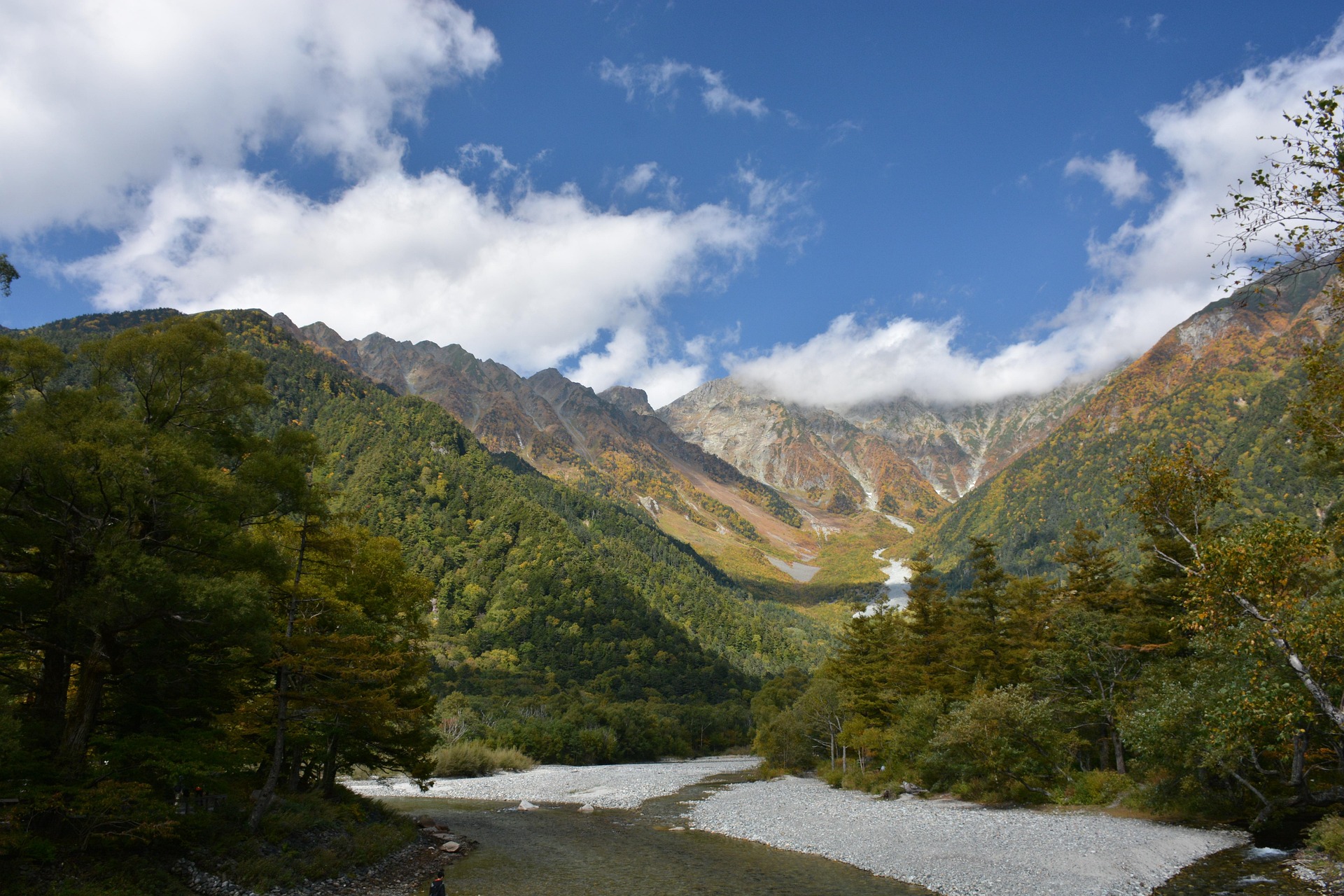
As the route climbs into the Japan Alps, the scenery tightens quickly into steep mountain walls, and tunnels begin to dominate the transitions between regions.
At lake areas, the drive opens up again, with wide reflections of surrounding peaks that make the distance feel shorter than it actually is.
In some sections, especially near rural mountain roads, the atmosphere shifts completely — rice fields, small shrines, and isolated houses appear between long forest corridors.
By the end of the Nagano Loop, the strongest impression is the scale of variation: the route constantly alternates between dense urban edges, deep mountain terrain, and quiet cultural landscapes without ever settling into one identity.
Best time to visit
The best time to explore the Japan Alps Scenic Drive – Epic Nagano Loop Through Mountains, Valleys & Historic Towns is typically during spring and summer months, when weather conditions are stable and visibility is high. However, autumn offers fewer crowds and more dramatic scenery.
Travel tips
- Check winter tire or chain requirements
- Monitor mountain weather forecasts
- Expect tunnels and steep gradients
Why visit
- Scenic landscapes unique to Chubu (Nagano / Japan Alps)
- Popular road trip destination in Japan
- Great for photography
- Varied terrain and driving conditions
Driving Interpretation Layer
What this route means
How long is this route?
The route is approximately 3101.1 km long, with an elevation gain of 12403 m.
How difficult is the drive?
This route is classified as Extreme, with a maximum gradient of 12.5%.
What kind of terrain does it have?
This route features hilly terrain with several steep driving sections.
What makes this route unique?
The route combines elevation variation (12403 m total gain) with changing landscapes shaped by natural geography and road conditions.
What type of driver is this route best suited for?
This route is best suited for experienced drivers comfortable with steep gradients, narrow mountain roads, and changing weather conditions.
Discovery Layer
More routes in Japan
About Japan →
More similar scenic routes

Route des Grandes Alpes Alpine Scenic Road Trip
High alpine route crossing multiple mountain passes.
Great Alpine Scenic Mountain Drive
Mountain road crossing Australian Alps.
Tatra Mountains Scenic Drive
Alpine landscapes and mountain villages.
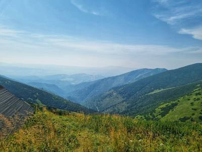
High Tatras Alpine Scenic Drive
Alpine peaks and mountain lakes.
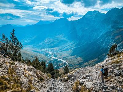
Theth to Valbona Alpine Mountain Pass Drive
A remote mountain route connecting Theth and Valbona through the Albanian Alps.
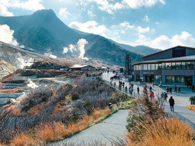
Hakone Volcano Scenic Loop Drive
Volcanic mountains, Lake Ashi and views of Mount Fuji on clear days