
Route Identity
Hakone Volcano Scenic Loop Drive
Japan — Hakone
Overview Layer
Overview
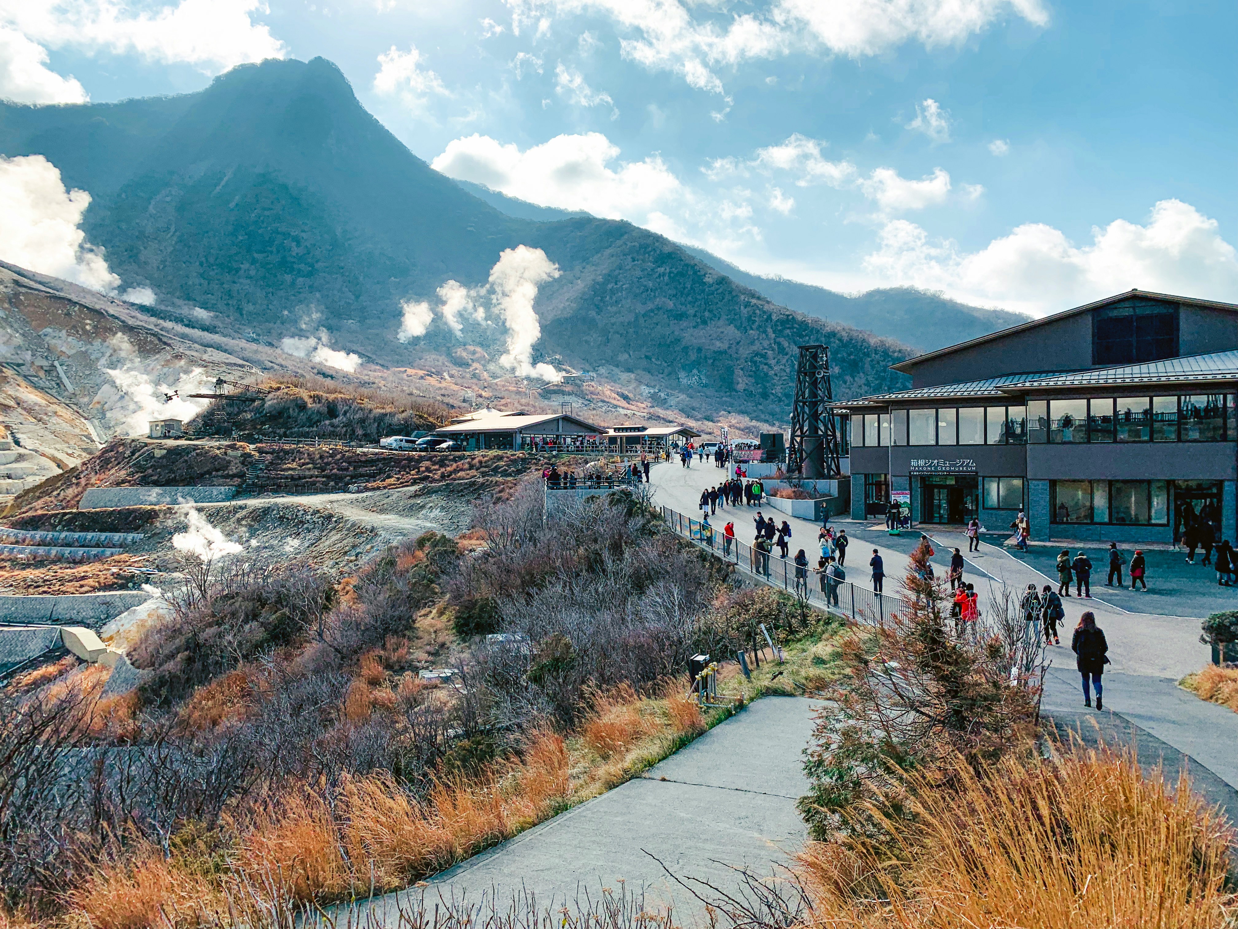
Hakone Scenic Loop is one of the most popular scenic drives near Tokyo, Japan, known for its volcanic landscapes, forested mountain roads, Lake Ashi, and occasional views of Mount Fuji. The loop connects hot spring towns, mountain passes, and lakeside viewpoints, making it a classic day trip for travelers exploring the Fuji-Hakone-Izu National Park region. Driving Hakone offers a mix of winding roads, ropeway crossings, and calm lake scenery that changes quickly with weather and elevation.
Weather
Humid subtropical highland climate with seasonal rainfall, mild winters, and strong humidity variation.
Seasonal Driving Conditions
Mild temperatures with moderate rainfall and clear seasonal transitions.
- moderate rainfall events
- stable visibility between showers
Warm and humid conditions with occasional heavy rain and reduced visibility in forested areas.
- humid conditions
- reduced visibility during rain
Cool and stable conditions with lower humidity and improved driving comfort.
- dry and stable driving conditions
- cool mountain air
Cold conditions with occasional snow at higher elevations and dry air in valleys.
- light snow in higher areas
- clear but cold conditions
Road conditions
Mountain loop roads with winding sections, tunnels, and moderate traffic density in tourist seasons.
Driving difficulty explained
Moderate difficulty due to traffic density, weather variability, and winding mountain roads.
Route Snapshot Layer
Route Snapshot
This is a scenic driving route in Hakone, Japan.
The route features moderate driving conditions.
It is classified as Hard and is best suited for general road trip travelers.
Points of Interest
Attractions along the route
- 忍野八海 — 21 m from route (111.5 km from start)
- 初代ゴンドラ — 13 m from route (157.2 km from start)
- 葭原久保一里塚 — 19 m from route (172.7 km from start)
- 平和の鳥居 — 22 m from route (174.1 km from start)
- 思い出横丁 — 84 m from route (299.7 km from start)
Scenic viewpoints
- 見張場 — 103 m from route (177.5 km from start)
- 東京都庁展望室 南 — 78 m from route (298.8 km from start)
Actual Driving Track (GPX-data)
Download GPXGPS Data Layer
Measured Driving Route
This route is analyzed directly from GPX track data. It features a total distance of 300.6 km, with an elevation gain of 2785 m.
Route Structure
| Type | Distance (km) | Elevation Gain (m) | Avg Gradient (%) |
|---|---|---|---|
| flat | 224.97 km | 1313 m | 0.1% |
| climb | 38.08 km | 1443 m | 3.7% |
| descent | 37.58 km | 29 m | -4.5% |
About this route
The Hakone Volcano Scenic Loop Drive is one of the most scenic driving experiences in Japan. Located in Hakone, this route offers a unique combination of landscapes, road conditions and natural highlights.
Stretching over 300.6 km, this drive takes approximately 7 hours.
This route is especially popular among travelers looking for road trips.
Travel Experience
We left Tokyo early and the city felt very far away surprisingly quickly. The first part was just normal roads, but once we started climbing into Hakone it became much quieter and greener.
At one stop near Lake Ashi there were already a few cars and some people waiting for a ferry or just standing by the water. We didn’t stay long, it felt more like a quick pause than a place to settle.
There were sections where the road kept twisting through forest and then opening suddenly to viewpoints. We didn’t really talk much, just slowed down whenever we caught a glimpse of the lake or distant mountains.
We stopped for food in a small town that felt built around hot springs and short stays. Everything moved slowly, but it didn’t feel annoying, more like the expected pace of Hakone.
By the end of the Hakone Scenic Loop, it felt like we had moved through several different layers of landscape in a short time — lake, forest, and volcanic hills all blending into one continuous drive rather than separate stops.
Best time to visit
The best time to explore the Hakone Volcano Scenic Loop Drive is typically during spring and summer months, when weather conditions are stable and visibility is high. However, autumn offers fewer crowds and more dramatic scenery.
Travel tips
- Expect congestion on weekends and holidays
- Drive carefully in fog and rain conditions
- Check weather before mountain segments
Why visit
- Scenic landscapes unique to Hakone
- Popular road trip destination in Japan
- Great for photography
- Varied terrain and driving conditions
Driving Interpretation Layer
What this route means
How long is this route?
The route is approximately 300.6 km long, with an elevation gain of 2785 m.
How difficult is the drive?
This route is classified as Hard, with a maximum gradient of 7.1%.
What kind of terrain does it have?
This is a relatively mild scenic route with steady and predictable driving conditions.
What makes this route unique?
The route combines elevation variation (2785 m total gain) with changing landscapes shaped by natural geography and road conditions.
What type of driver is this route best suited for?
This route is suitable for confident drivers who are comfortable with occasional steep sections and mountain terrain.
Discovery Layer
More routes in Japan
About Japan →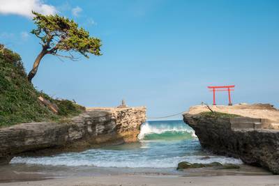
Noto Peninsula Coastal Scenic Drive
Quiet coastal roads, fishing villages and rugged Sea of Japan scenery
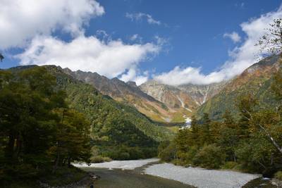
Japan Alps Scenic Drive – Epic Nagano Loop Through Mountains, Valleys & Historic Towns
Long circular alpine road trip through Japan Alps, connecting mountain passes, valleys, lakes and cultural regions
More similar scenic routes
Japan Alps Scenic Drive – Epic Nagano Loop Through Mountains, Valleys & Historic Towns
Long circular alpine road trip through Japan Alps, connecting mountain passes, valleys, lakes and cultural regions

Route des Grandes Alpes Alpine Scenic Road Trip
High alpine route crossing multiple mountain passes.

Icefields Parkway Rocky Mountain Scenic Drive
One of the most scenic drives in the Canadian Rockies.

Blue Ridge Parkway Scenic Mountain Drive
Scenic mountain drive through the Appalachian Highlands.
Drakensberg Sani Pass Scenic Scenic Mountain Drive (Sani Pass → Lesotho entry)
Mountain drive along dramatic escarpments.
Great Alpine Scenic Mountain Drive
Mountain road crossing Australian Alps.