
Route Identity
Noto Peninsula Coastal Scenic Drive
Japan — Ishikawa
Overview Layer
Overview
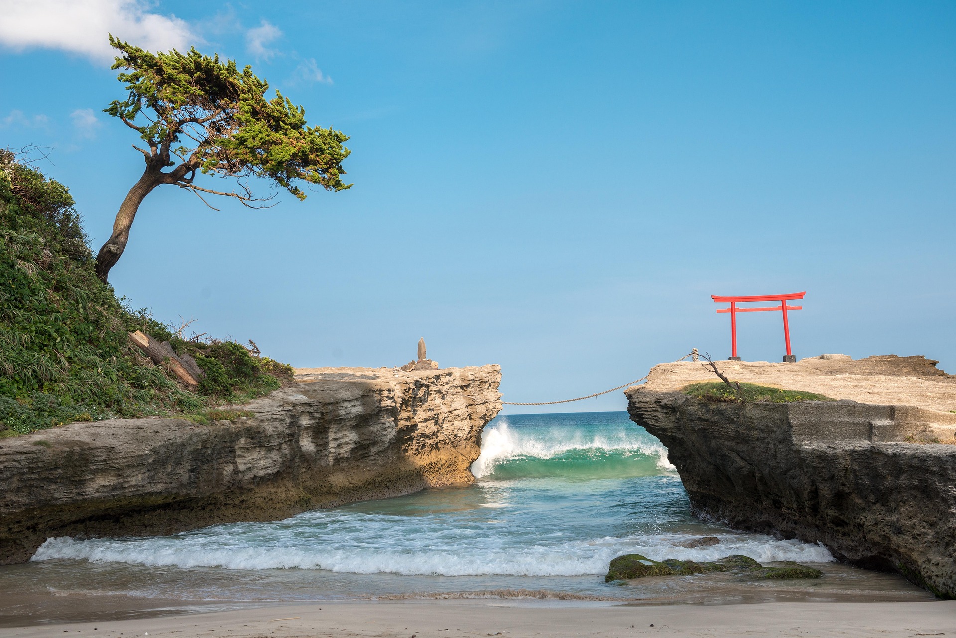
The Noto Peninsula Drive in Japan is a peaceful coastal road trip through Ishikawa Prefecture, known for its quiet fishing villages, rugged Sea of Japan coastline, and rural landscapes far from major tourist routes. Unlike Japan’s more famous scenic drives, Noto Peninsula feels slower and more local, with long stretches of empty coastline, small harbors, and traditional towns. It’s a great road trip for travelers looking to experience rural Japan and understated coastal beauty.
Weather
Temperate coastal Japanese climate with seasonal rain, typhoon exposure in summer, and cool winters.
Seasonal Driving Conditions
Mild temperatures with moderate rainfall and calm coastal conditions.
- moderate rainfall
- stable coastal driving conditions
Warm and humid conditions with occasional typhoon influence and heavy rain events.
- typhoon risk periods
- humid driving conditions
Cooling temperatures with more stable weather and reduced humidity.
- stable weather windows
- cooler temperatures
Cold coastal winds with occasional snow and wet road surfaces.
- wet and cold roads
- occasional snow in inland areas
Road conditions
Coastal and rural roads with tunnels, narrow sections, and exposure to sea winds.
Driving difficulty explained
Moderate difficulty due to coastal exposure and seasonal storm impacts.
Route Snapshot Layer
Route Snapshot
This is a scenic driving route in Ishikawa, Japan.
The route features moderate driving conditions.
It is classified as Extreme and is best suited for general road trip travelers.
Points of Interest
Attractions along the route
- 旧角海家住宅 — 71 m from route (186.8 km from start)
- Tanada View Point — 21 m from route (199.0 km from start)
Scenic viewpoints
- もみじ姫公園 — 39 m from route (26.7 km from start)
- 義経岩 — 40 m from route (27.5 km from start)
- 氷見海岸 — 48 m from route (47.1 km from start)
- パノラマ展望台 — 63 m from route (104.6 km from start)
- 松川遊覧船 チケット売場 — 165 m from route (308.2 km from start)
Interesting stops
- 富山市街地のご案内 — 16 m from route (0.0 km from start)
Actual Driving Track (GPX-data)
Download GPXGPS Data Layer
Measured Driving Route
This route is analyzed directly from GPX track data. It features a total distance of 308.2 km, with an elevation gain of 5292 m.
Route Structure
| Type | Distance (km) | Elevation Gain (m) | Avg Gradient (%) |
|---|---|---|---|
| flat | 263.58 km | 3334 m | -0.1% |
| climb | 24.37 km | 1491 m | 4.1% |
| descent | 20.26 km | 467 m | -4.3% |
About this route
The Noto Peninsula Coastal Scenic Drive is one of the most scenic driving experiences in Japan. Located in Ishikawa, this route offers a unique combination of landscapes, road conditions and natural highlights.
Stretching over 308.2 km, this drive takes approximately 7 hours.
This route is especially popular among travelers looking for road trips.
Travel Experience
We left Kanazawa without much of a plan and the first part of the drive felt pretty normal, just suburban roads slowly thinning out as we headed north.
At one fishing harbor we stopped because a few trucks were already parked there. It didn’t feel like a tourist spot at all, just people working and taking breaks near the water.
There were long stretches where the road followed the coastline almost silently. We didn’t really talk much, just watched small waves and empty bays passing by without much interruption.
We stopped for food in a small town that felt a bit older and quieter than expected. Service was simple and slow, but it didn’t feel inconvenient, just part of the rhythm of the place.
By the end of the Noto Peninsula Drive, it felt less like a planned scenic route and more like moving through everyday coastal Japan where the ocean is always present but never really dramatic.
Best time to visit
The best time to explore the Noto Peninsula Coastal Scenic Drive is typically during spring and summer months, when weather conditions are stable and visibility is high. However, autumn offers fewer crowds and more dramatic scenery.
Travel tips
- Check typhoon forecasts in summer
- Expect narrow rural road sections
- Drive carefully in coastal wind zones
Why visit
- Scenic landscapes unique to Ishikawa
- Popular road trip destination in Japan
- Great for photography
- Varied terrain and driving conditions
Driving Interpretation Layer
What this route means
How long is this route?
The route is approximately 308.2 km long, with an elevation gain of 5292 m.
How difficult is the drive?
This route is classified as Extreme, with a maximum gradient of 7.0%.
What kind of terrain does it have?
This is a relatively mild scenic route with steady and predictable driving conditions.
What makes this route unique?
The route combines elevation variation (5292 m total gain) with changing landscapes shaped by natural geography and road conditions.
What type of driver is this route best suited for?
This route is suitable for confident drivers who are comfortable with occasional steep sections and mountain terrain.
Discovery Layer
More routes in Japan
About Japan →
Hakone Volcano Scenic Loop Drive
Volcanic mountains, Lake Ashi and views of Mount Fuji on clear days
Japan Alps Scenic Drive – Epic Nagano Loop Through Mountains, Valleys & Historic Towns
Long circular alpine road trip through Japan Alps, connecting mountain passes, valleys, lakes and cultural regions
More similar scenic routes

Pacific Coast Highway Coastal Scenic Drive
Iconic coastal drive along California's Pacific coastline.
Great Ocean Scenic Coastal Drive
Coastal road famous for Twelve Apostles rock formations.
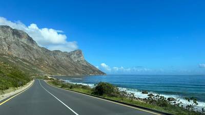
Garden Route Scenic Coastal Drive
Coastal drive through forests, lagoons and beaches.
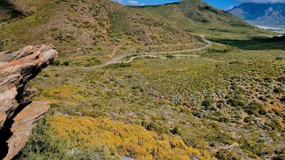
Extended Garden Route Scenic Drive
Extended coastal drive with beaches and forests.
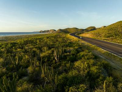
Baja California Desert Coastal Scenic Road Trip
Desert coastline road along Pacific Ocean.
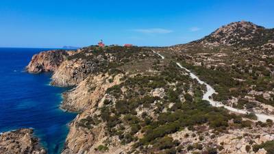
Sardinia Coastal Scenic Drive
Turquoise waters and winding coastal roads of Sardinia.