
Route Identity
High Tatras Alpine Scenic Drive
Slovakia — High Tatras
Overview Layer
Overview
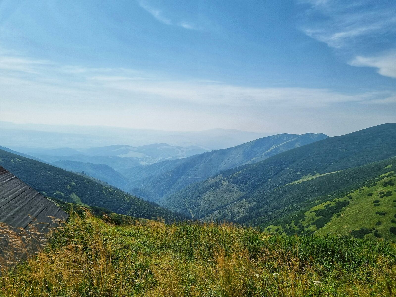
The High Tatras Drive in Slovakia is a dramatic alpine route through sharp peaks, narrow valleys, and mountain lakes. It is a challenging mountain drive where elevation changes and tight roads constantly shape the experience.
Weather
Alpine continental climate with strong seasonal snow, cool summers, and cold winters affecting high elevation routes.
Seasonal Driving Conditions
Cool alpine conditions with snowmelt, wet roads, and partial access in higher elevations.
- snowmelt runoff
- wet mountain roads
Mild temperatures with stable weather and full access to mountain roads.
- stable driving conditions
- clear mountain visibility
Cooling temperatures with fog in valleys and increasing precipitation.
- frequent valley fog
- wet forest sections
Snow, ice, and limited access in high mountain areas.
- snow-covered roads
- reduced accessibility
Road conditions
Mountain roads with steep gradients, curves, and seasonal traction issues due to snow and ice.
Driving difficulty explained
High difficulty due to steep alpine terrain and rapid weather changes.
Route Snapshot Layer
Route Snapshot
This is a scenic driving route in High Tatras, Slovakia.
The route features moderate driving conditions.
It is classified as Hard and is best suited for general road trip travelers.
Points of Interest
Scenic viewpoints
- Prievalcové sedlo — 42 m from route (150.7 km from start)
- Na Skalách — 63 m from route (174.5 km from start)
- Savoš — 29 m from route (212.4 km from start)
- Holica — 28 m from route (213.5 km from start)
- Oblazy — 15 m from route (214.6 km from start)
Attractions along the route
- Banský vlak — 41 m from route (125.7 km from start)
- Parná lokomotíva-Korytnička — 96 m from route (179.5 km from start)
- Bešenovské travertíny a minerálne pramene — 44 m from route (190.6 km from start)
Actual Driving Track (GPX-data)
Download GPXGPS Data Layer
Measured Driving Route
This route is analyzed directly from GPX track data. It features a total distance of 270.7 km, with an elevation gain of 3946 m.
Route Structure
| Type | Distance (km) | Elevation Gain (m) | Avg Gradient (%) |
|---|---|---|---|
| descent | 53.04 km | 157 m | -3.8% |
| climb | 55.82 km | 2281 m | 3.7% |
| flat | 161.88 km | 1508 m | -0.2% |
About this route
The High Tatras Alpine Scenic Drive is one of the most scenic driving experiences in Slovakia. Located in High Tatras, this route offers a unique combination of landscapes, road conditions and natural highlights.
Stretching over 270.7 km, this drive takes approximately 6 hours.
This route is especially popular among travelers looking for road trips.
Travel Experience
We didn’t really ease into it—almost immediately the road started climbing and it felt tighter than expected for something that’s only a few hours long on paper.
At one lake stop there were already a lot of cars squeezed into limited space, and people were kind of rotating in and out of viewpoints. We didn’t stay long because it felt a bit crowded, just enough to walk down and come back.
There was a section where the mountains kept closing in and opening up again, and we mostly just went quiet because the road demanded more attention than conversation. Every few minutes it felt like another sharp turn or a tunnel appeared out of nowhere.
We stopped for food in a small mountain town where everything felt slightly compressed—streets, parking, even time. It took a while to get anything, but nobody was in a rush anyway.
By the end of the High Tatras Drive, it felt less like a scenic route and more like a constant negotiation with altitude and direction. Lakes and peaks showed up quickly, then disappeared just as fast, like the road never really gave you a chance to settle on one view.
Best time to visit
The best time to explore the High Tatras Alpine Scenic Drive is typically during spring and summer months, when weather conditions are stable and visibility is high. However, autumn offers fewer crowds and more dramatic scenery.
Travel tips
- Check mountain pass conditions before travel
- Expect rapid weather shifts at altitude
- Use low gears on steep descents
Why visit
- Scenic landscapes unique to High Tatras
- Popular road trip destination in Slovakia
- Great for photography
- Varied terrain and driving conditions
Driving Interpretation Layer
What this route means
How long is this route?
The route is approximately 270.7 km long, with an elevation gain of 3946 m.
How difficult is the drive?
This route is classified as Hard, with a maximum gradient of 7.7%.
What kind of terrain does it have?
This is a relatively mild scenic route with steady and predictable driving conditions.
What makes this route unique?
The route combines elevation variation (3946 m total gain) with changing landscapes shaped by natural geography and road conditions.
What type of driver is this route best suited for?
This route is suitable for confident drivers who are comfortable with occasional steep sections and mountain terrain.
More similar scenic routes

Route des Grandes Alpes Alpine Scenic Road Trip
High alpine route crossing multiple mountain passes.
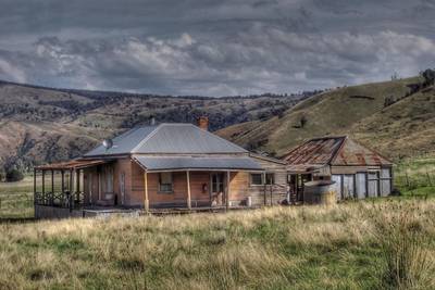
Great Alpine Scenic Mountain Drive
Mountain road crossing Australian Alps.
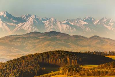
Tatra Mountains Scenic Drive
Alpine landscapes and mountain villages.
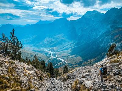
Theth to Valbona Alpine Mountain Pass Drive
A remote mountain route connecting Theth and Valbona through the Albanian Alps.
Vršič Pass Alpine Scenic Drive
Historic alpine pass with tight hairpins and dramatic Julian Alps scenery
Japan Alps Scenic Drive – Epic Nagano Loop Through Mountains, Valleys & Historic Towns
Long circular alpine road trip through Japan Alps, connecting mountain passes, valleys, lakes and cultural regions